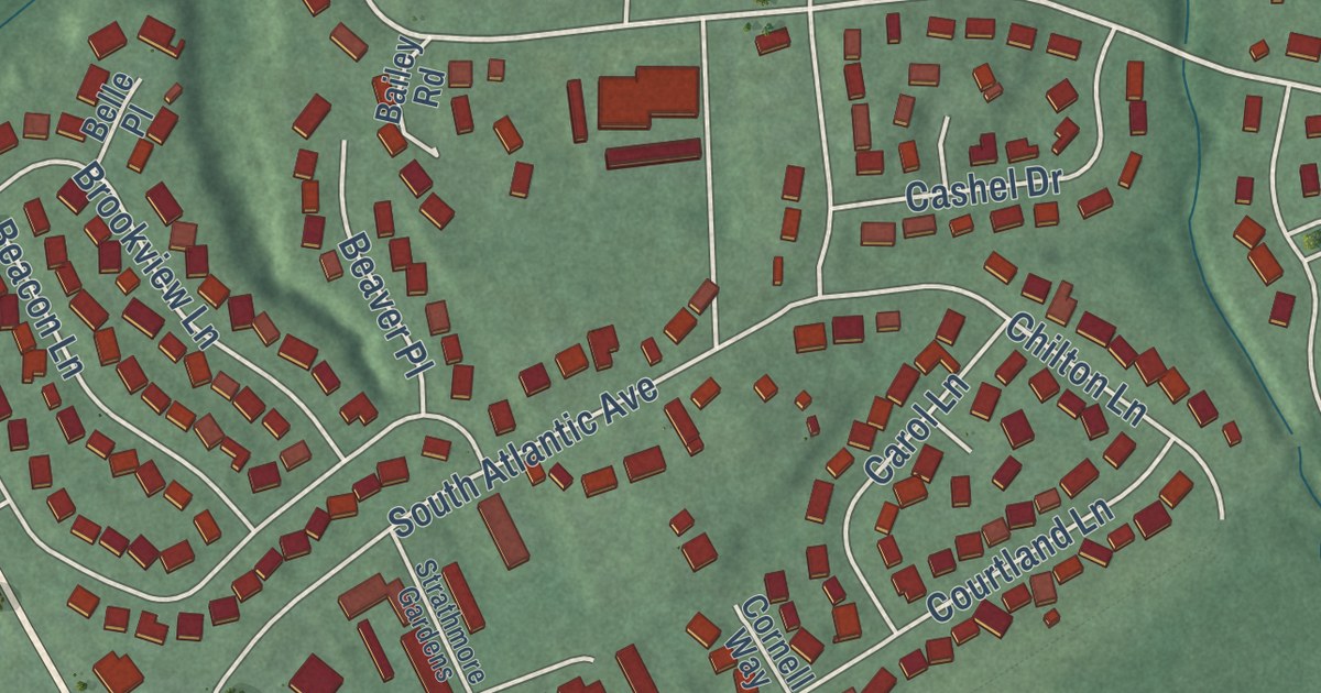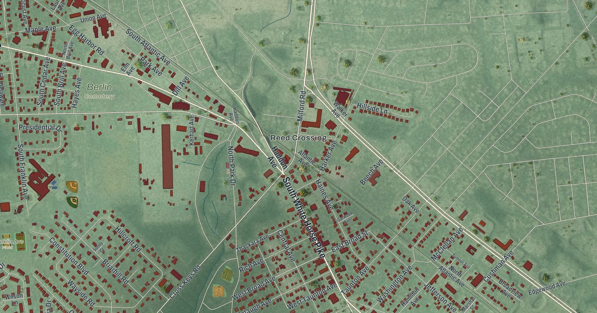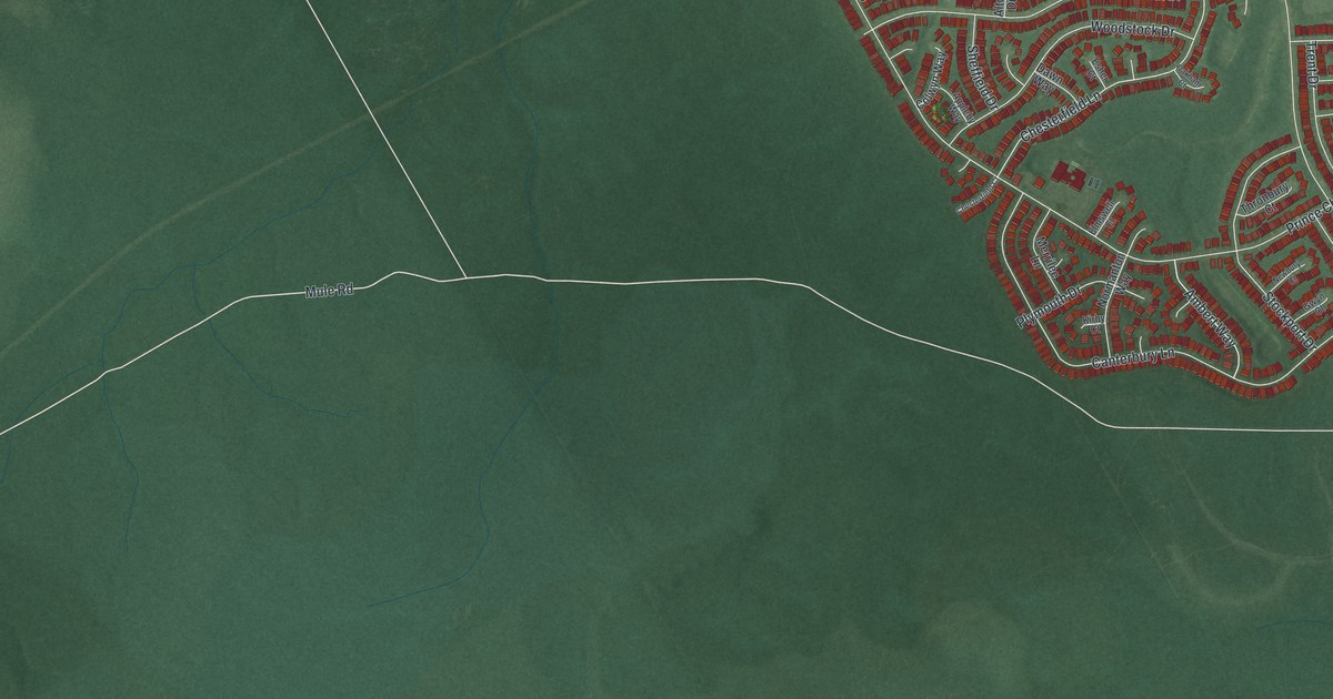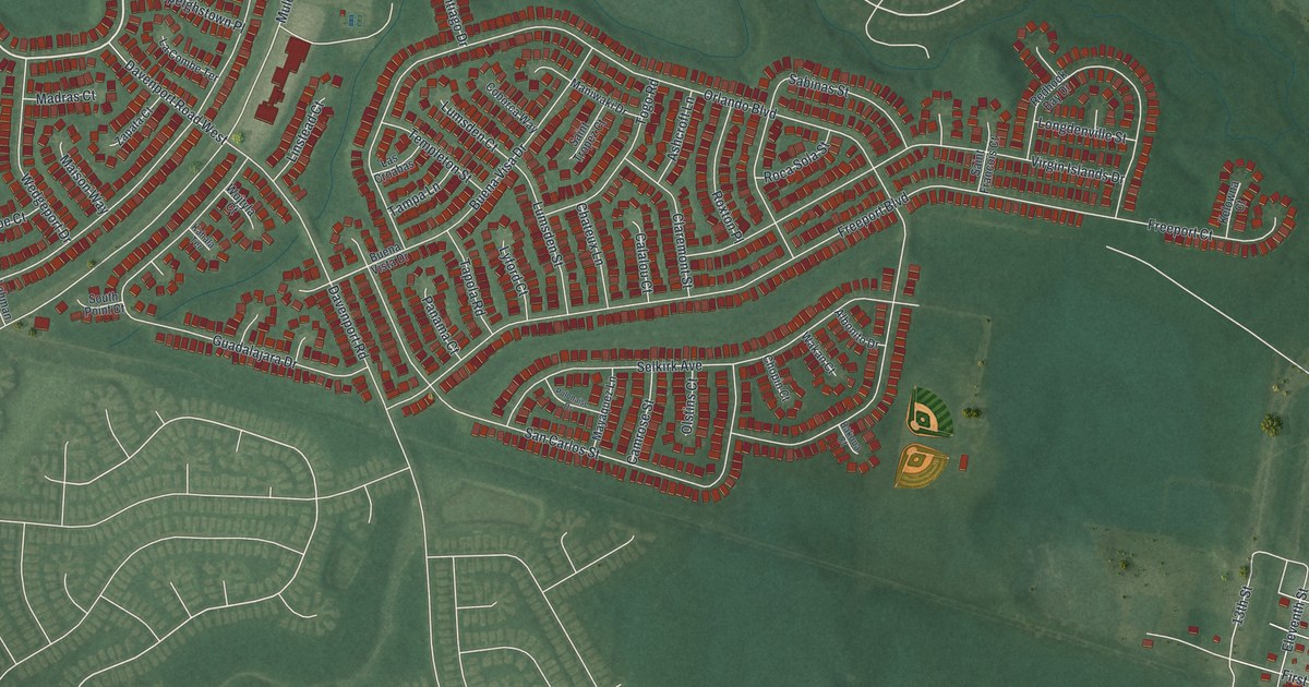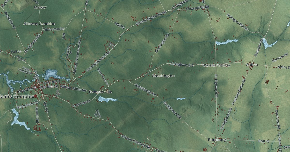
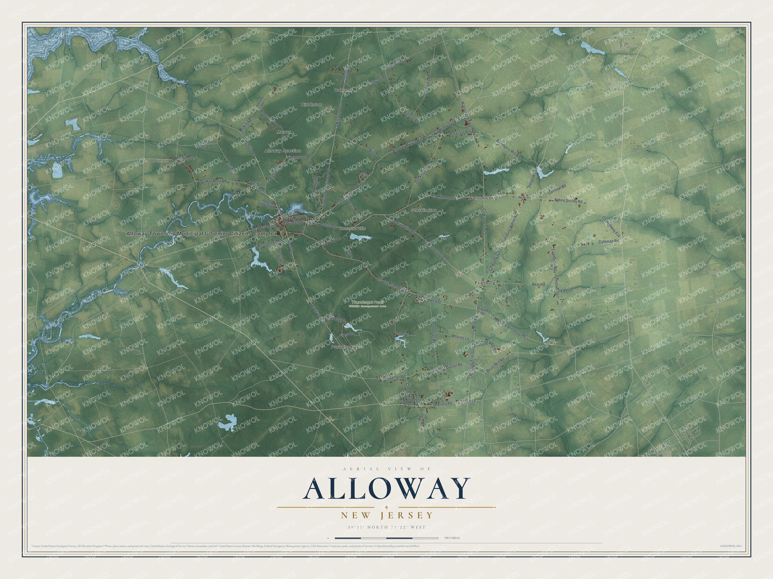
This beautifully detailed map of Alloway, New Jersey was created in 2026 using aerial imagery combined with modern topographical, census, street and landmark data. It’s a one-of-a-kind view of Alloway that combines accurate data with a vintage aesthetic. The map shows every building in its true location, many of the roads carry their names, and the shaded topographic relief shows the shape of the land.
Explore an aerial view of Alloway, New Jersey
On the map you’ll find Alloway Township Municipal & Senior Citizens Complex, Penton, Thundergut Pond Wildlife Management Area, Aldine, Alloway Junction, Cohansey, Friesburg, Mower, Oakland, Paradise Lakes, Remsterville, Riddleton, and more. If you look closely you can even find your house accurately drawn in its correct location. Zoom in on the preview to look for yours.
Did You Know?
Alloway takes its name from Allowas, a local Native American chief. The village is part of Alloway Township in Salem County. The township was created by a royal charter in 1767 as Upper Alloways Creek Township. It adopted the shorter name Alloway Township in 1884.
Take a closer look at the Alloway map
Names on this map
These names are printed on this map.
Places: Alloway Township Municipal & Senior Citizens Complex, Penton, Thundergut Pond Wildlife Management Area, Aldine, Alloway Junction, Cohansey, Friesburg, Mower, Oakland, Paradise Lakes, Remsterville, Riddleton, Stockington and Watson Corner.
Streets and roads: Alloway Aldine Road, Route 540, Telegraph Road, Daretown Road, East Main Street, Cohansey Road, West Main Street, County Highway 635, County Highway 581, Cohansey Friesburg Road, Friesburg Aldine Road, Aldine Road.
More street names, A to Z
Aldine Shirley Road, Alloway-Mulica Hill Road, Alloway-Woodstown Road, Alloway Friesburg Road, Ballingers Mill Road, Beal Road, Beals Mill Road, Brickyard Road, Camp Edge Road, Canhouse Road, Cobbs Mill Road, Coleman Road, Commissioners Pike, County Highway 603, County Highway 611, County Highway 614, County Highway 640, County Highway 656, County Highway 657, County Highway 663, County Highway 664, County Highway 672, Davis Road, Deerfield Friesburg Road, Dorrell Lane, Earnest Garton Road, East Canal Street, Ernest Garton Road, Foggs Landing Road, Friesburg Road, Fuller Lane, Garrison Road, Glass House Lane, Greenwich Street, Hackett Road, Hart Lane, Kerlin Road, Kristine Court, Lakeview Drive, McKillip Road, Moores Lane, Mowers Station Road, Neil Court, Nnp, Penton Station Road, Pierson Road, Pleasant Hill Road, Plummer Lane, Quaker Neck Road, Remsterville Road, Sawmill Road, Sims Drive, Spillway Drive, Stockington Road, Stretch Road, Swing West Road, Thomas Road, Tice Lane, Timberman Road, Waterworks Road, Watsons Mill Road, Welchville Road, Williams Road, Wilson Road, Wistars Mill Lane, Witt Road, Woodstown Alloway Road, Yorketown Road.
See it on a wall
The Alloway map as an 18 x 24 inch print in a black frame.

This beautifully detailed map of Alloway makes an attractive addition to your office, library, or den, and it can even be used to teach children the geography and history of the area. It also makes a great gift for anyone with Alloway roots. When you’re done exploring, click here to get your copy of the Alloway map.