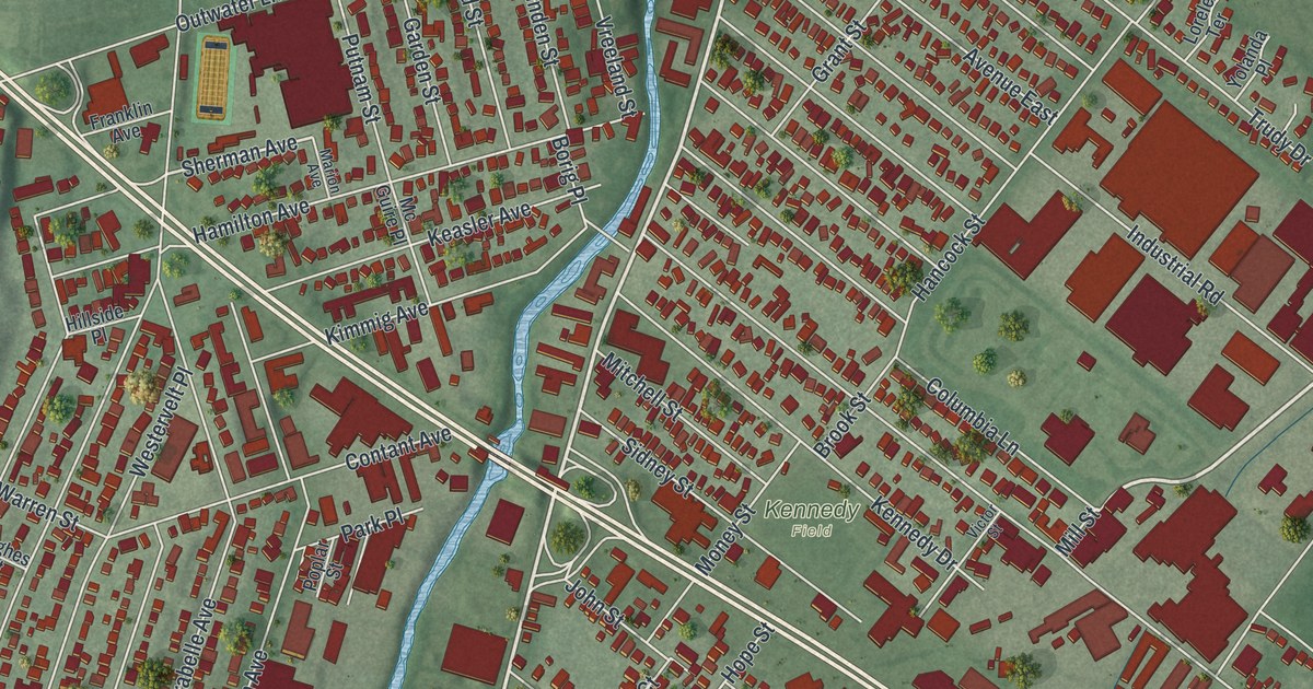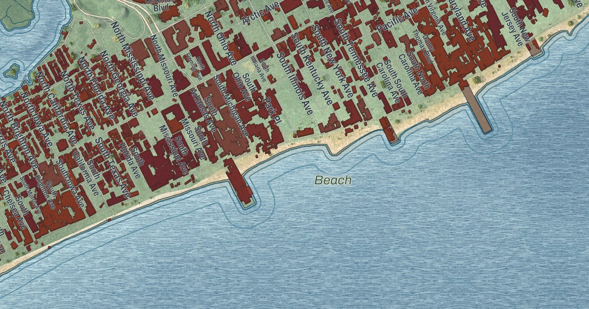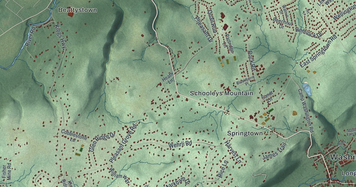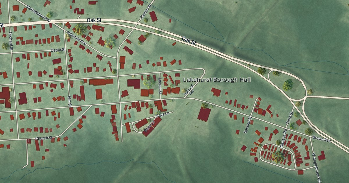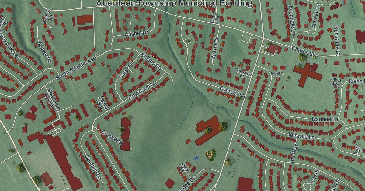
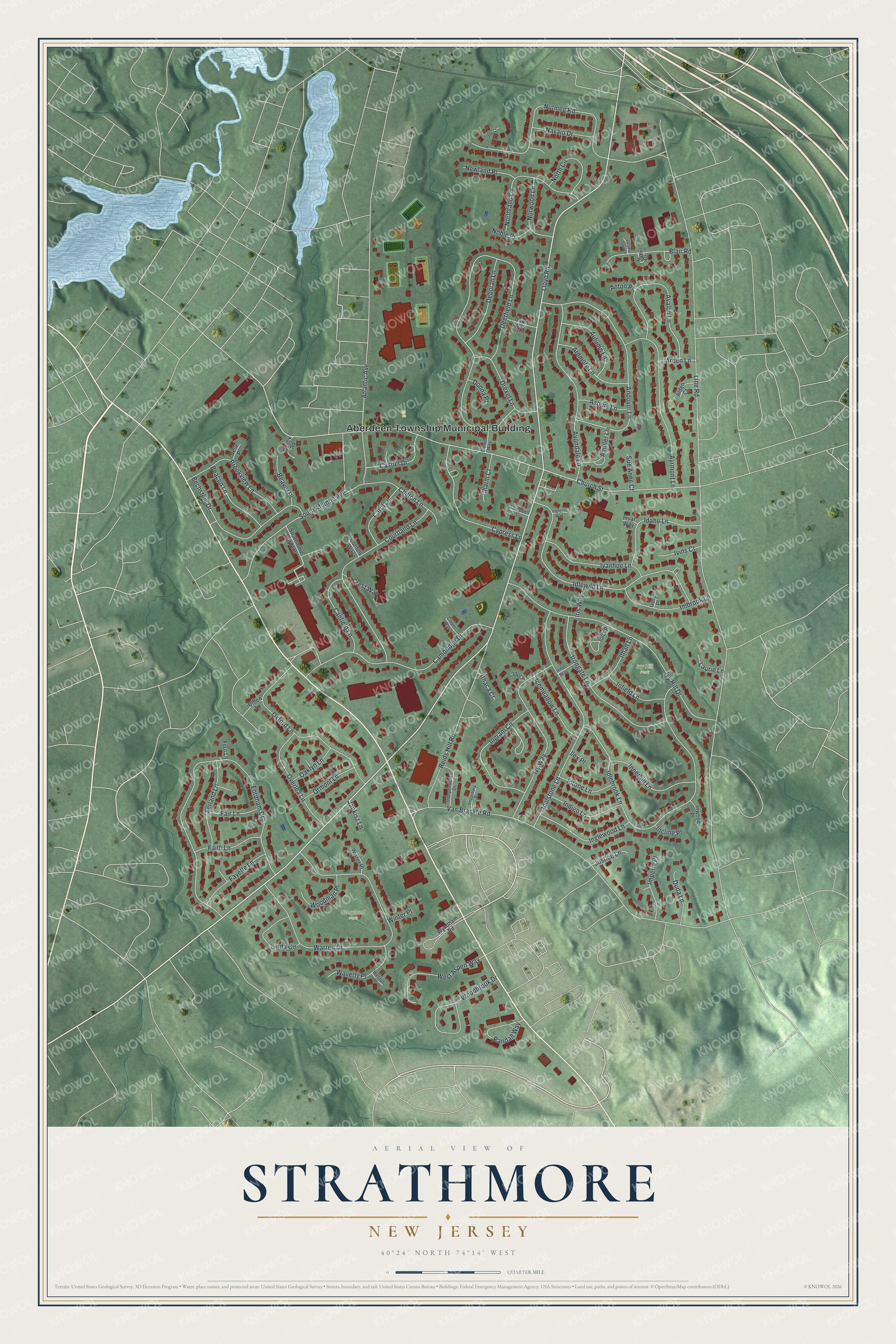
This beautifully detailed map of Strathmore, New Jersey was created in 2026 using aerial imagery combined with modern topographical, census, street and landmark data. It's a modern aerial view of Strathmore in Monmouth County, New Jersey, that combines modern data with a vintage aesthetic. The roads feature printed names, and if you look closely you can find your exact house accurately shown in its correct location.
Explore an aerial view of Strathmore, New Jersey
On this map you'll find Aberdeen Township Municipal Building, Storyland Park, Ivy Hill Park, Lloyd Road, Church Street, Line Road, Deerfield Lane, Van Brackle Road, Fordham Drive, Idlebrook Lane, Warren Drive, Ivy Hill Drive, and more. Each red shape is a building, so zoom in on the preview and look for yours.
Strathmore is a community in Monmouth County. The Census Bureau counted 7,225 people here in 2020. The map prints the town name in its title panel, with the coordinates below it.
Take a closer look at the Strathmore map
Names on this map
These names are printed on this map.
Places: Aberdeen Township Municipal Building, Storyland Park and Ivy Hill Park.
Streets and roads: Lloyd Road, Church Street, Line Road, Deerfield Lane, Van Brackle Road, Fordham Drive, Idlebrook Lane, Warren Drive, Ivy Hill Drive, Idlewild Lane, South Atlantic Avenue, Andover Lane.
More street names, A to Z
Alden Court, Ambler Lane, Anton Place, Arden Lane, Ardmore Lane, Asbury Lane, Atlantic Avenue, Autumn Lane, Avalon Lane, Avondale Lane, Ayrmont Lane, Bailey Road, Beacon Lane, Beaver Place, Bechstein Drive, Belle Place, Blair Road, Brookview Lane, Cambridge Drive, Campbell Court, Canfield Lane, Carol Lane, Cashel Drive, Charm Court, Chilton Lane, Clover Way, Cornell Way, Courtland Lane, Crest Way, Cypress Lane, Darwin Way, Dawn Way, Deborah Lane, Donna Place, Drexel Lane, Duda Lane, Fair Lane, Faith Lane, Fayette Lane, Ferland Lane, Fern Lane, Heather Glen Drive, Hyer Court, Icemeadow Lane, Idaho Lane, Idol Place, Idolstone Lane, Ilex Place, Imaginary Place, Imbrook Lane, Imperia Place, Incline Place, Independence Drive, Indigo Lane, Infield Lane, Inglewood Lane, Ingram Circle, Ingress Way, Innerhill Lane, Inner Way, Intone Lane, Invar Way, Inwood Place, Iona Place, Iris Way, Irongate Lane, Ithaca Court, Ithan Lane, Ivanhoe Lane, Ivins Court, Ivory Place, Ivy Way, Jankisz Lane, Justice Lane, Laurie Lane, Linda Circle, Navajo Drive, Newland Place, Noble Place, Normandy Court, North Circle, Northland Lane, Norwood Lane, Nutmeg Road, Oaklyn Lane, Olden Lane, Ormont Lane, Overlea Lane, Oxford Lane, Randall Way, Reids Hill Road, Strathmore Gardens, Sue Anne Court, Waverly Place, West Aspen Way, Weston Place, Winter Place, Wister Place, Woodbrook Drive, Woodman Place, Wyndham Road.
See it on a wall
The Strathmore map as a framed print. Swipe for more.


Created by KNOWOL in 2026. The buildings are small red shapes, the roads carry their printed names, and shaded relief shows the shape of the land. The title panel reads "AERIAL VIEW OF STRATHMORE, NEW JERSEY" with 40°24' NORTH 74°14' WEST.
Hang it in the hallway, the office or the cabin, or give it to someone who left Strathmore and still calls it home. Open the preview and look for a street you know. See sizes and frames for the Strathmore map.