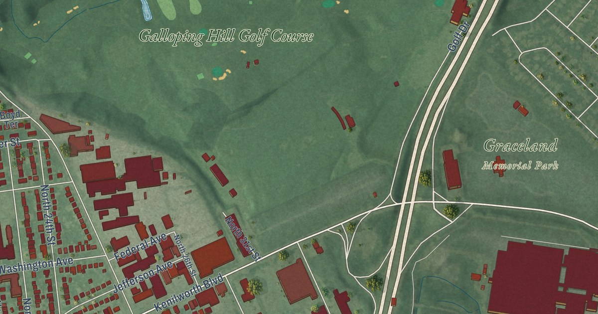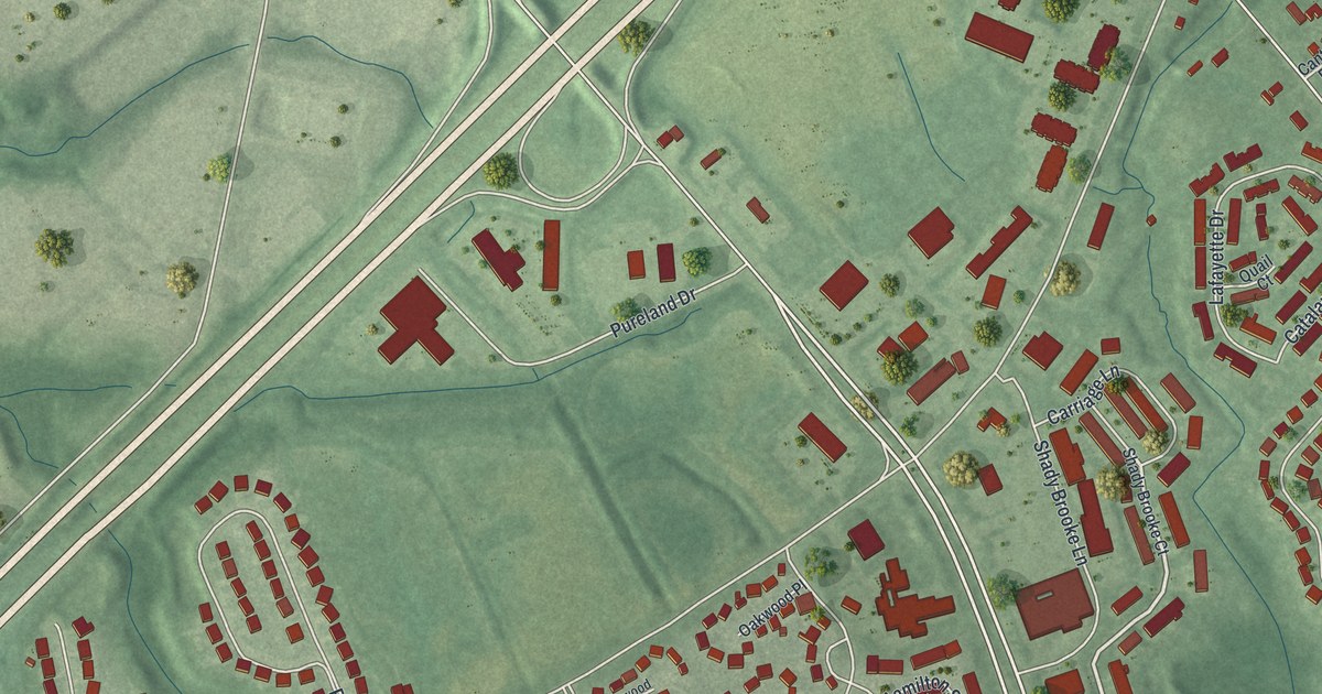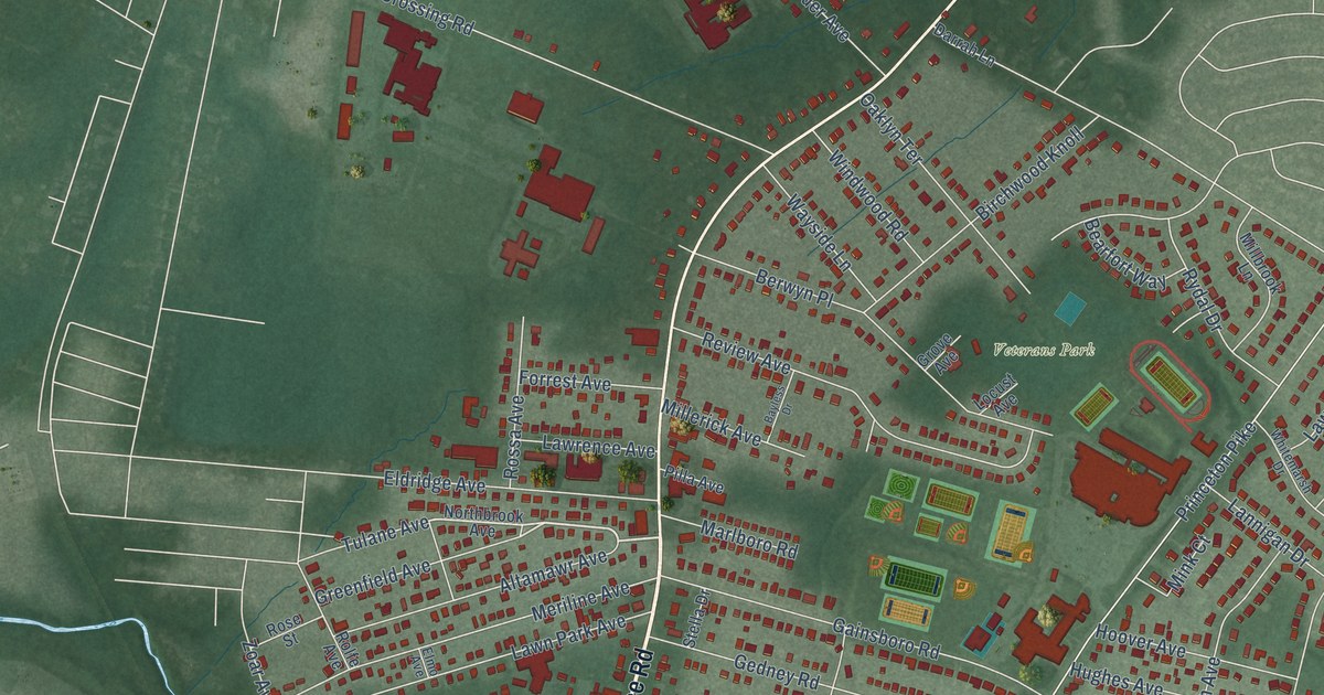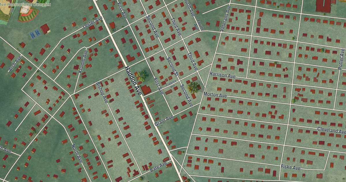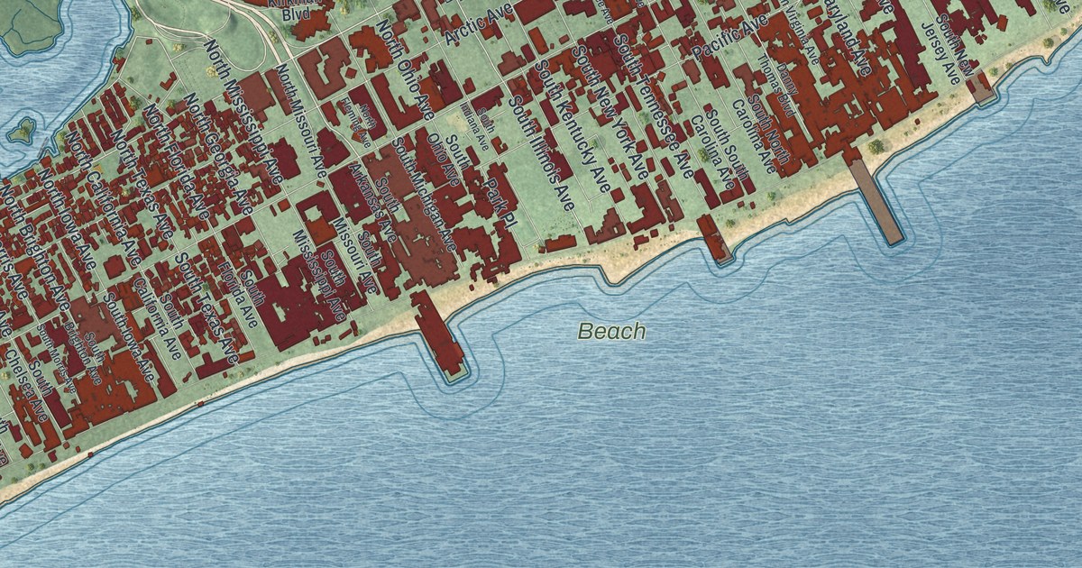
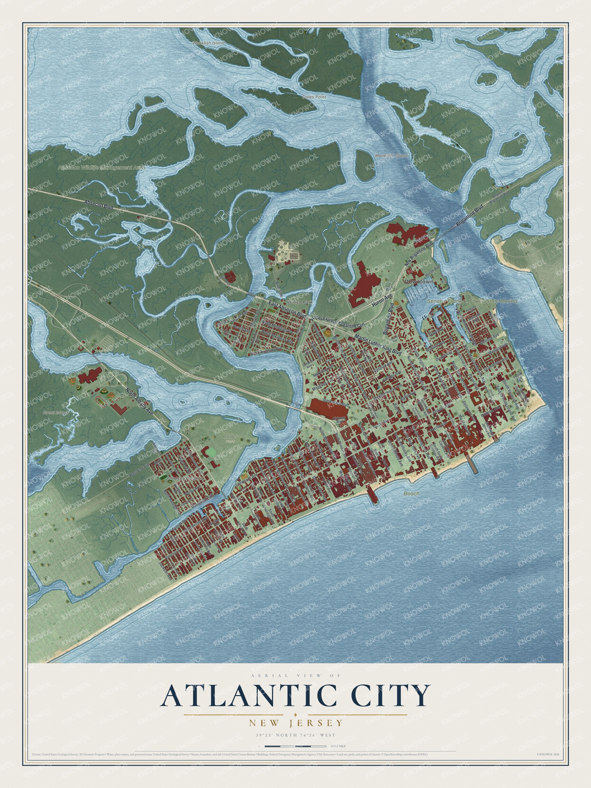
This beautifully detailed map of Atlantic City, New Jersey was created in 2026 using aerial imagery combined with modern topographical, census, street and landmark data. It’s a one-of-a-kind view of Atlantic City that combines accurate data with a vintage aesthetic. The map shows every building in its true location, many of the roads carry their names, and the shaded topographic relief shows the shape of the land.
Explore an aerial view of Atlantic City, New Jersey
On the map you’ll find Downtown, Chelsea Heights, Venice Park, Doles Point, Great Island, Mankiller Island, Weakfish Island, Absecon Wildlife Management Area, Beach, and Bader Field, along with Huron Avenue, North Albany Avenue, and more. If you look closely you can even find your house accurately drawn in its correct location. Zoom in on the preview to look for yours.
Did You Know?
Jonathan Pitney, called the Father of Atlantic City, first hoped to make the beach a health resort. He convinced local officials that a railroad to the shore would help. The railroad owned the United States Hotel, the city’s first hotel. When it was finished, it was the largest hotel in the nation.
Take a closer look at the Atlantic City map
Names on this map
These names are printed on this map.
Places: Downtown, Chelsea Heights, Venice Park, Doles Point, Great Island, Mankiller Island, Weakfish Island, Absecon Wildlife Management Area, Beach, Senator Frank S. Farley State Marina and Bader Field.
Streets and roads: Huron Avenue, North Albany Avenue, Brigantine Boulevard, Absecon Boulevard, East Absecon Boulevard, Martin Luther King Boulevard, Baltic Avenue, North Pennsylvania Avenue, Revel Boulevard, Madison Avenue, North Arkansas Avenue, North Drive Martin Luther King Junior Boulevard.
More street names, A to Z
Adriatic Avenue, Annapolis Avenue, Arctic Avenue, Atlantic Avenue, Atlantic Brigantine Boulevard, Atl City Express-Brigantine Con, Bacharach Boulevard, Bay Street, Beach Avenue, Blaine Avenue, Borgata Way, Boston Court, Boulevard Avenue, Carson Avenue, Caspian Avenue, City Avenue, Columbia Avenue, Danny Thomas Boulevard, Delaware Avenue, Drexel Avenue, East Riverside Drive, Erie Avenue, Euclid Avenue, Fairmount Avenue, Grammercy Avenue, Hamilton Avenue, Harrah's Boulevard, Jackson Avenue, Kirkman Boulevard, Kuehnle Avenue, Lincoln Place, Magellan Avenue, Mainsail Way, Marmora Avenue, Maryland Avenue, McKinley Avenue, Mediterranean Avenue, Melrose Avenue, Monroe Avenue, Montgomery Avenue, Murray Avenue, New Brigantine Boulevard, Norsex Avenue, North Brighton Avenue, North California Avenue, North Chelsea Avenue, North Connecticut Avenue, North Delaware Avenue, North Dover Avenue, North Drive, North Drive Martin Luther King Boulevard, North Fleming Avenue, North Florida Avenue, North Georgia Avenue, North Hartford Avenue, North Indiana Avenue, North Iowa Avenue, North Kentucky Avenue, North Kingston Avenue, North Maine Avenue, North Maryland Avenue, North Massachusetts Avenue, North Michigan Avenue, North Mississippi Avenue, North Missouri Avenue, North Morris Avenue, North New Jersey Avenue, North New York Avenue, North North Carolina Avenue, North Ohio Avenue, North Plaza Place, North Raleigh Avenue, North Rhode Island Avenue, North Riverside Avenue, North South Carolina Avenue, North Sovereign Avenue, North Tennessee Avenue, North Texas Avenue, North Trenton Avenue, North Virginia Avenue, Ontario Avenue, Oriental Avenue, Pacific Avenue, Park Place, Parkside Avenue, Penrose Avenue, Porter Avenue, Reading Avenue, Riverside, Sewell Avenue, South Albany Avenue, South Annapolis Avenue, South Arkansas Avenue, South Bartram Place, South Brighton Avenue, South California Avenue, South Chelsea Avenue, South Dover Avenue, South Florida Avenue, South Illinois Avenue, South Indiana Avenue, South Iowa Avenue, South Kentucky Avenue, South Massachusetts Avenue, South Michigan Avenue, South Mississippi Avenue, South Missouri Avenue, South Morris Avenue, South New Hampshire Avenue, South New Jersey Avenue, South New York Avenue, South North Carolina Avenue, South Ohio Avenue, South Providence Avenue, South Raleigh Avenue, South Rhode Island Avenue, South Richmond Avenue, South South Carolina Avenue, South Sovereign Avenue, South Tennessee Avenue, South Texas Avenue, South Vermont Avenue, South Virginia Avenue, Stewart Avenue, Sunset Avenue, Sussex Avenue, Trinity Avenue, Ventnor Avenue, Wabash Avenue, Warrena Road, West End Avenue, West Riverside Avenue, Winchester Avenue, Windsor Road.
See it on a wall
The Atlantic City map as an 18 x 24 inch print in a black frame.

This beautifully detailed map of Atlantic City makes an attractive addition to your office, library, or den, and it can even be used to teach children the geography and history of the area. It also makes a great gift for someone who left Atlantic City and still calls it home. When you’re done exploring, click here to get your copy of the Atlantic City map.