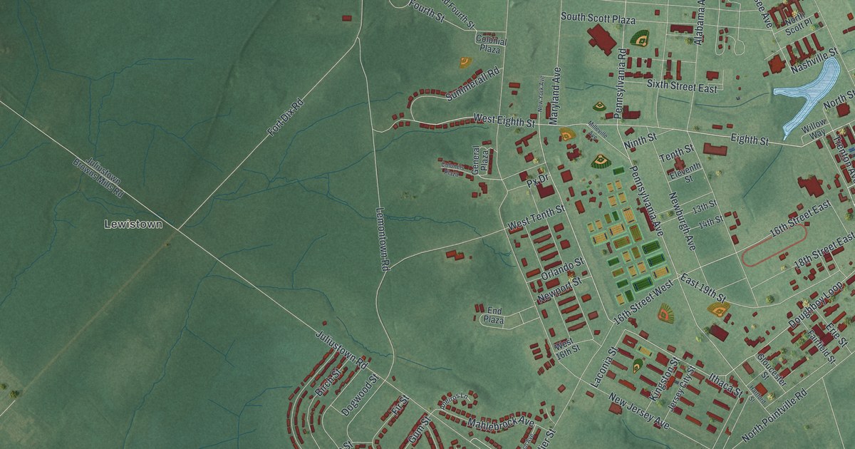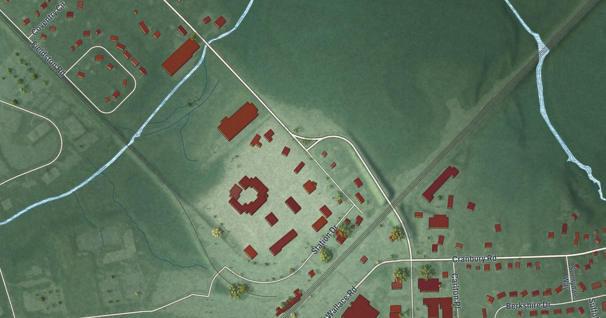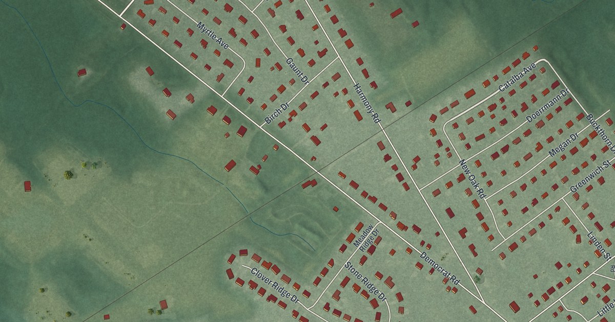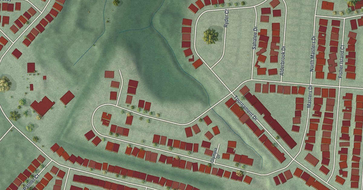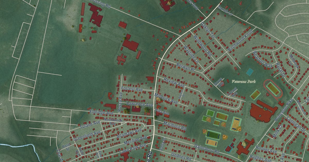
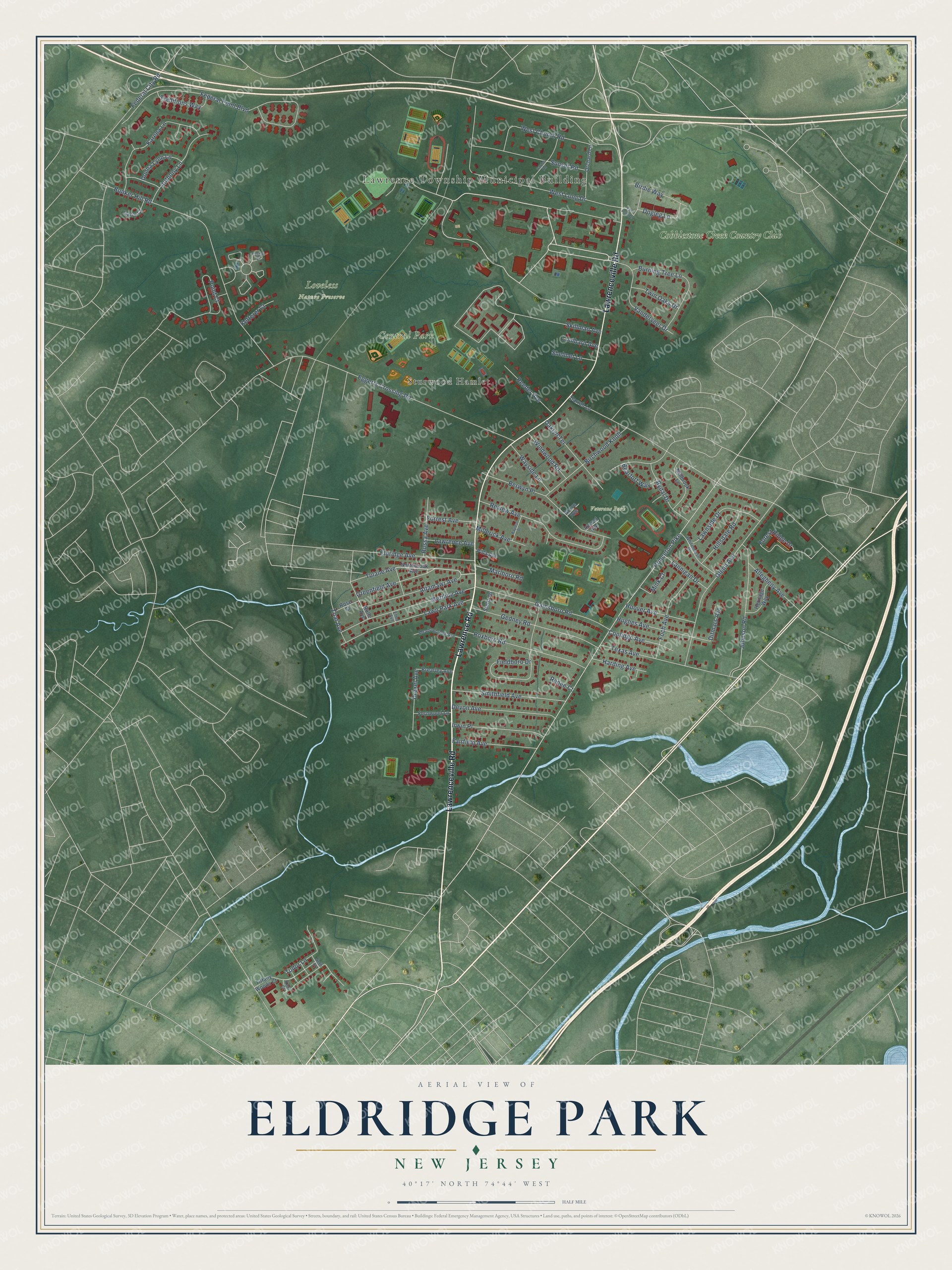
This beautifully detailed map of Eldridge Park, New Jersey was created in 2026 using aerial imagery combined with modern topographical, census, street and landmark data. It’s a one-of-a-kind view of Eldridge Park that combines accurate data with a vintage aesthetic. The map shows every building in its true location, many of the roads carry their names, and the shaded topographic relief shows the shape of the land.
Explore an aerial view of Eldridge Park, New Jersey
On the map you’ll find Lawrence Township Municipal Building, Central Park, Loveless Nature Preserve, Veterans Park, Sturwood Hamlet, and Cobblestone Creek Country Club, along with Lawrence Road, Lawrenceville Road, Princeton Pike, Eggerts Crossing Road, Federal Point Boulevard, Bunker Hill Road, and more. If you look closely you can even find your house accurately drawn in its correct location. Zoom in on the preview to look for yours.
Did You Know?
From Internet Archive: "With the present enrolment, the playground areas are 136 square feet per pupil for the Eldridge Park School and 76 square feet for the Lawrenceville school."
Eldridge Park is a community in Mercer County.
Take a closer look at the Eldridge Park map
Names on this map
These names are printed on this map.
Places: Lawrence Township Municipal Building, Central Park, Loveless Nature Preserve, Veterans Park, Sturwood Hamlet and Cobblestone Creek Country Club.
Streets and roads: Lawrence Road, Lawrenceville Road, Princeton Pike, Eggerts Crossing Road, Federal Point Boulevard, Bunker Hill Road, Fieldboro Drive, West Long Drive, Glenn Avenue, Point Court, Review Avenue, Berwyn Place.
More street names, A to Z
Allegheny Avenue, Altamawr Avenue, Anthony Lane, Bayless Drive, Bearfort Way, Birchwood Knoll, Birdie Way, Brearley Avenue, Burning Tree Lane, Coolidge Avenue, Darrah Lane, Devon Avenue, Ditmars Avenue, Dogleg Lane, Donna Lynn Lane, Drexel Avenue, East Long Drive, Eldridge Avenue, Elmo Avenue, Fairfield Avenue, Federal City Road, Fernwood Lane, Foch Avenue, Forest Ridge Drive, Forrest Avenue, Foxtail Court, Gainsboro Road, Garden Road, Garry Court, Gedney Road, Greenfield Avenue, Grove Avenue, Harding Avenue, Heritage Way, Hillsdale Road, Hoover Avenue, Hughes Avenue, Irwin Place, Johnson Road, Karena Lane, Kent Court, Ketterer Court, Lannigan Drive, Lawn Park Avenue, Lawnside Drive, Lawrence Avenue, Locust Avenue, Lombard Avenue, Marlboro Road, Meadowbrook Avenue, Meriline Avenue, Millbrook Lane, Millerick Avenue, Mink Court, Northbrook Avenue, Oaklyn Terrace, Orchard Lane, Pilla Avenue, Reeder Avenue, Renee Court, Rolfe Avenue, Rose Street, Rossa Avenue, Roxboro Road, Rydal Drive, Seth Court, Shelmet Lane, Skillman Avenue, Smithfield Avenue, Stella Drive, Sunset Road, Texas Avenue, Tiffany Woods Court, Traditions Way, Tudor Lane, Tulane Avenue, Twin Oaks Drive, Vanderveer Drive, Wayside Lane, West Church Road, Whitemarsh Drive, Windwood Road, Zoar Avenue.
See it on a wall
The Eldridge Park map as a framed print. Swipe for more.


This beautifully detailed map of Eldridge Park makes an attractive addition to your office, library, or den, and it can even be used to teach children the geography and history of the area. It also makes a great gift for anyone who grew up in Eldridge Park or moved away. When you’re done exploring, click here to get your copy of the Eldridge Park map.