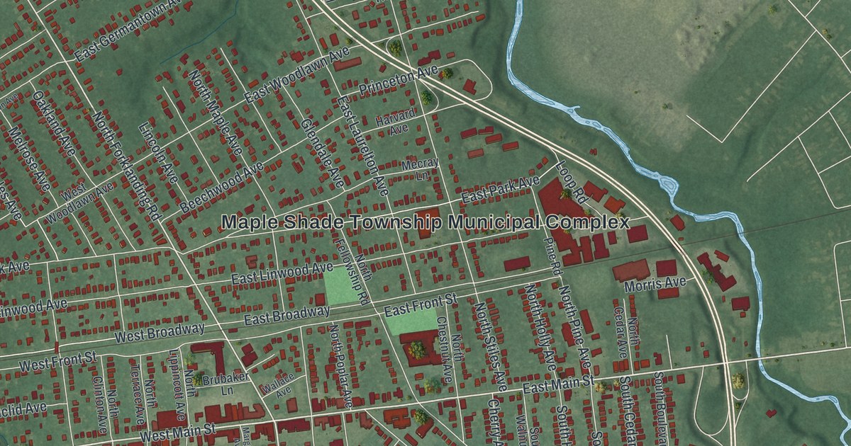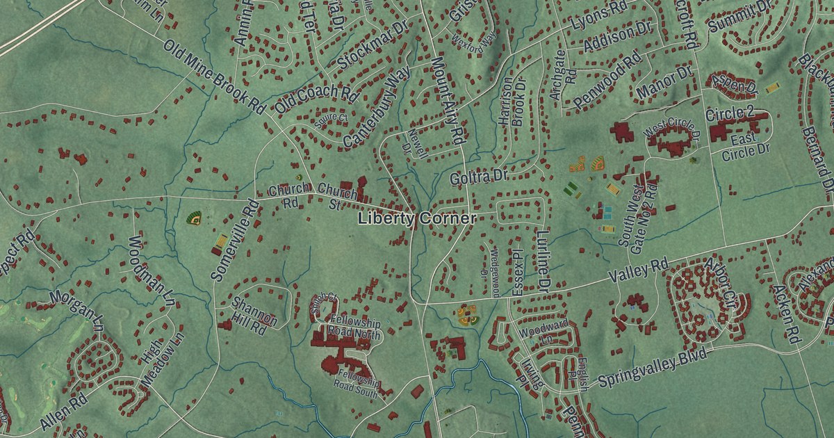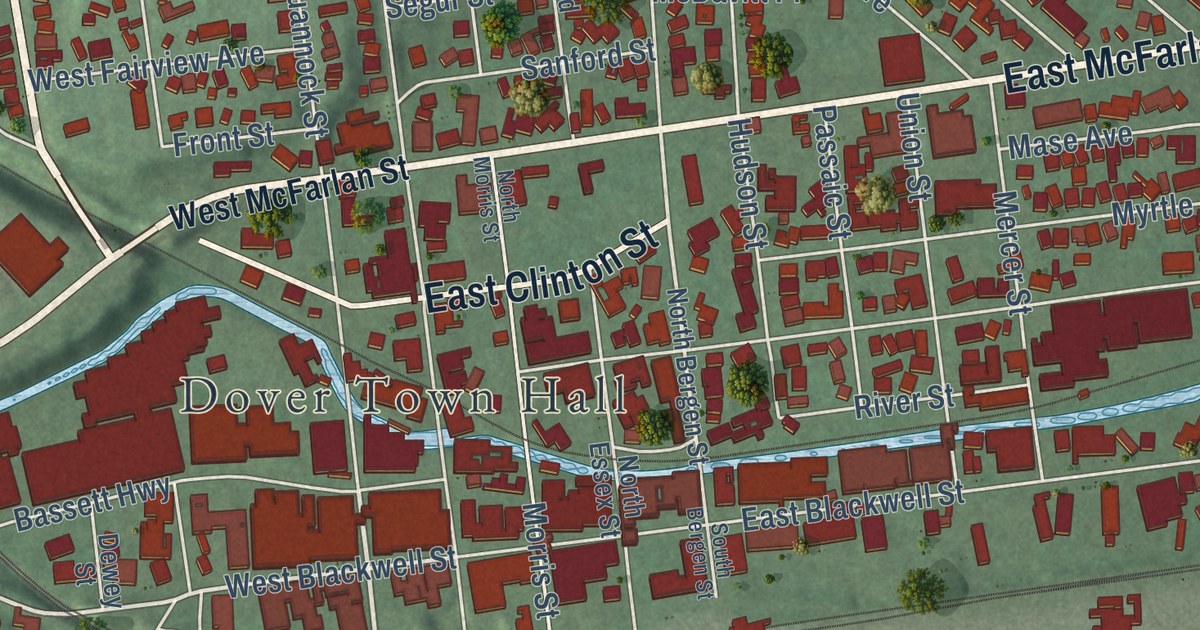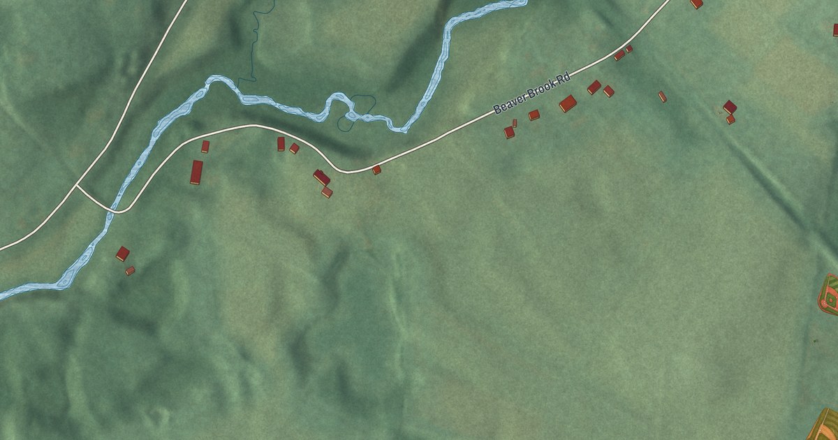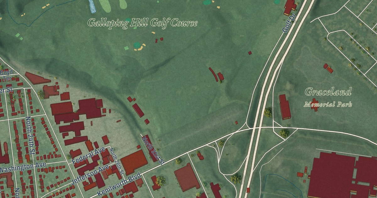
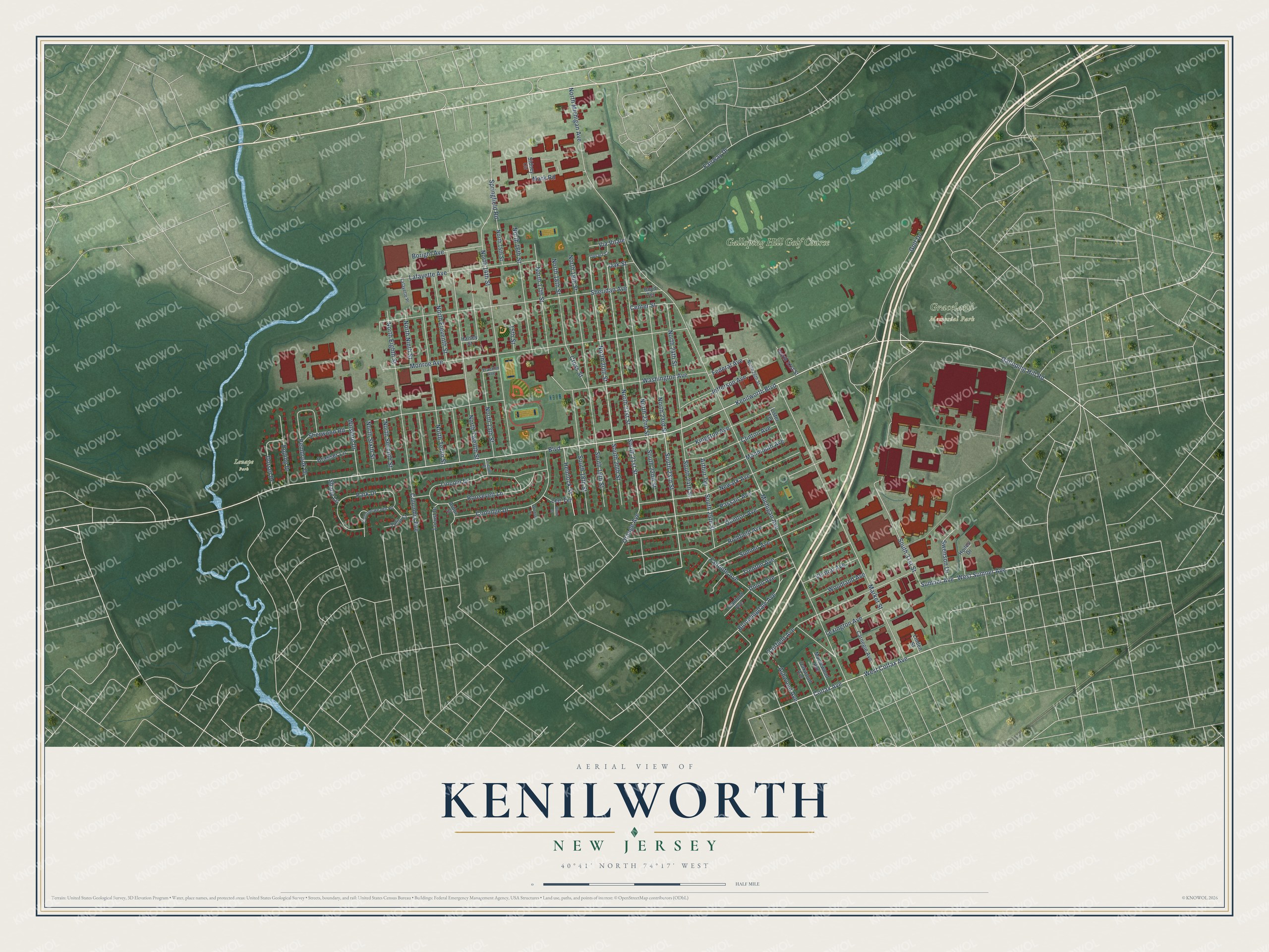
This beautifully detailed map of Kenilworth, New Jersey was created in 2026 using aerial imagery combined with modern topographical, census, street and landmark data. It’s a one-of-a-kind view of Kenilworth that combines accurate data with a vintage aesthetic. The map shows every building in its true location, many of the roads carry their names, and the shaded topographic relief shows the shape of the land.
Explore an aerial view of Kenilworth, New Jersey
On the map you’ll find Blackbrook Park, Graceland Memorial Park, Lenape Park, and Galloping Hill Golf Course, along with Roosevelt Lane, Sumner Avenue, West Sumner Avenue, North 14th Street, West Colfax Avenue, South 21st Street, North 20th Street, North 21st Street, and more. If you look closely you can even find your house accurately drawn in its correct location. Zoom in on the preview to look for yours.
Did You Know?
The area was first called New Orange, but people often mixed it up with the Oranges in Essex County. When the borough incorporated in 1907, it chose Kenilworth instead. The name came from a literary society of local businessmen. That club was named for the 1821 Sir Walter Scott novel Kenilworth.
Take a closer look at the Kenilworth map
Names on this map
These names are printed on this map.
Places: Graceland Memorial Park, Lenape Park and Galloping Hill Golf Course.
Streets and roads: Roosevelt Lane, Sumner Avenue, West Sumner Avenue, North 14th Street, West Colfax Avenue, South 21st Street, North 20th Street, North 21st Street, South 23rd Street, Bloomingdale Avenue, Kenilworth Boulevard, Boulevard.
More street names, A to Z
15th Street, Arbor Street, Arthur Terrace, Ashwood Avenue, Birch Street, Boright Avenue, Boyd Terrace, Brasser Lane, Carnegie Avenue, Center Street, Clinton Avenue, Colfax Avenue, Columbia Avenue, Commonwealth Road, Coolidge Drive, Cranford Avenue, Cross Street, Dorset Drive, Epping Drive, Fairfield Avenue, Fairway Drive, Faitoute Avenue, Federal Avenue, Franklin Avenue, Galloping Hill Road, Golf Drive, Halsey Street, Hemlock Street, Hoiles Drive, Jefferson Avenue, Kingston Avenue, Lafayette Avenue, Lafayette Place, Lee Terrace, Lexington Avenue, Lincoln Drive, Lincoln Place, Linden Street, Lister Terrace, Locust Drive, Maplewood Avenue, Market Street, Mark Road, Michigan Avenue, Monmouth Avenue, Monroe Avenue, Newark Avenue, North 13th Street, North 15th Street, North 16th Street, North 17th Street, North 18th Street, North 19th Street, North 22nd Street, North 23rd Street, North 24th Street, North 26th Street, North 31st Street, North Eighth Street, North Eleventh Street, North Michigan Avenue, North Ninth Street, North Seventh Street, North Sixth Street, North Tenth Street, North Twelfth Street, Oak Street, Oakwood Avenue, Orange Avenue, Park Drive, Passaic Avenue, Pembrook Drive, Quinton Avenue, Richfield Avenue, Shady Lane, Sheridan Avenue, Sherwood Road, Sidney Circle, South 18th Street, South 19th Street, South 20th Street, South 22nd Street, South 24th Street, South 25th Street, South 31st Street, Springfield Road, Summit Avenue, Swenson Drive, Trenton Avenue, Tulip Court, Union Avenue, Upsala Court, Vernon Avenue, Via Vitale, Washington Avenue, Wilshire Drive, Windsor Place, Woodland Avenue.
See it on a wall
The Kenilworth map as an 18 x 24 inch print in a black frame.

This beautifully detailed map of Kenilworth makes an attractive addition to your office, library, or den, and it can even be used to teach children the geography and history of the area. It also makes a great gift for anyone with Kenilworth roots. When you’re done exploring, click here to get your copy of the Kenilworth map.