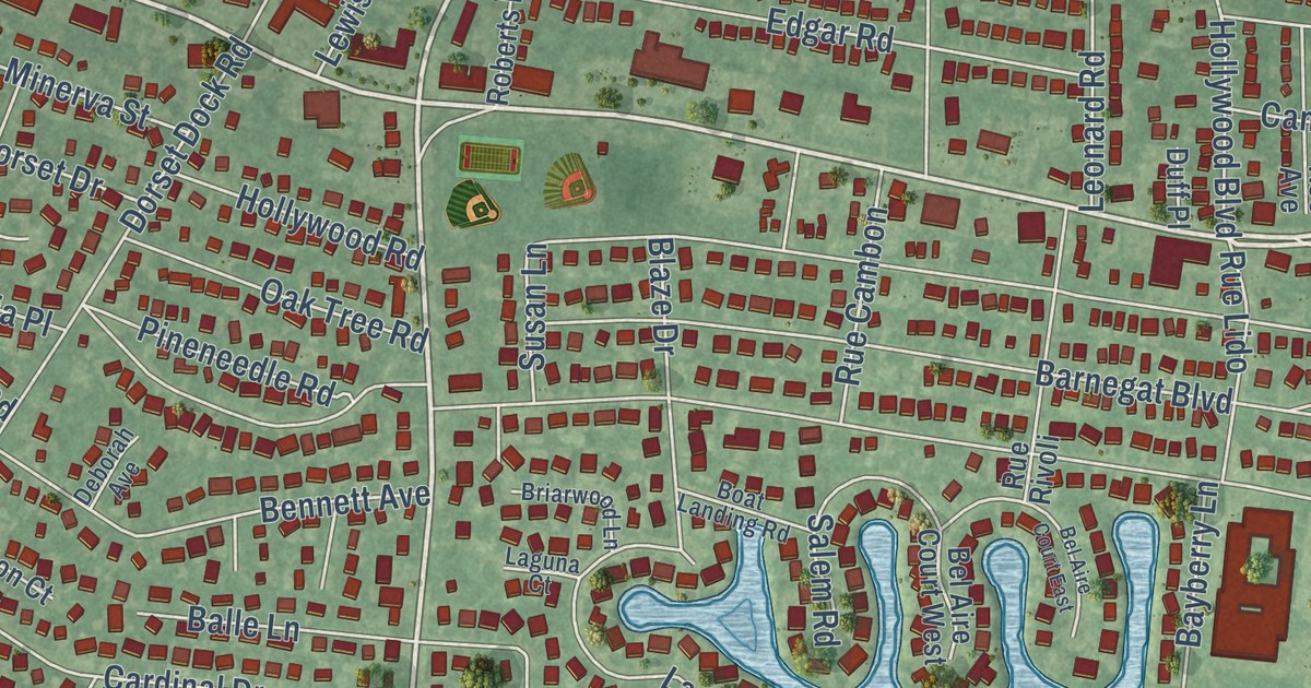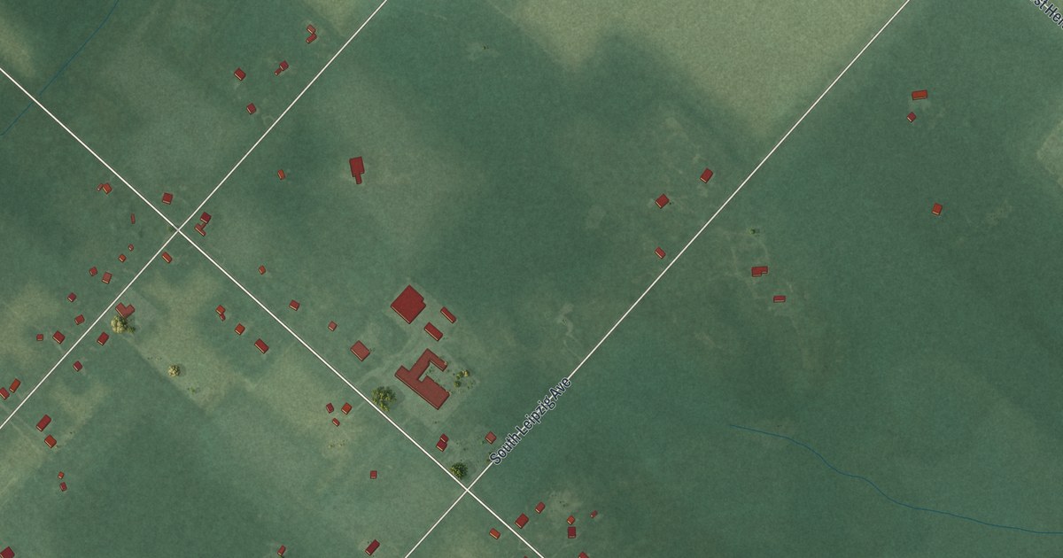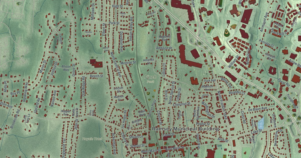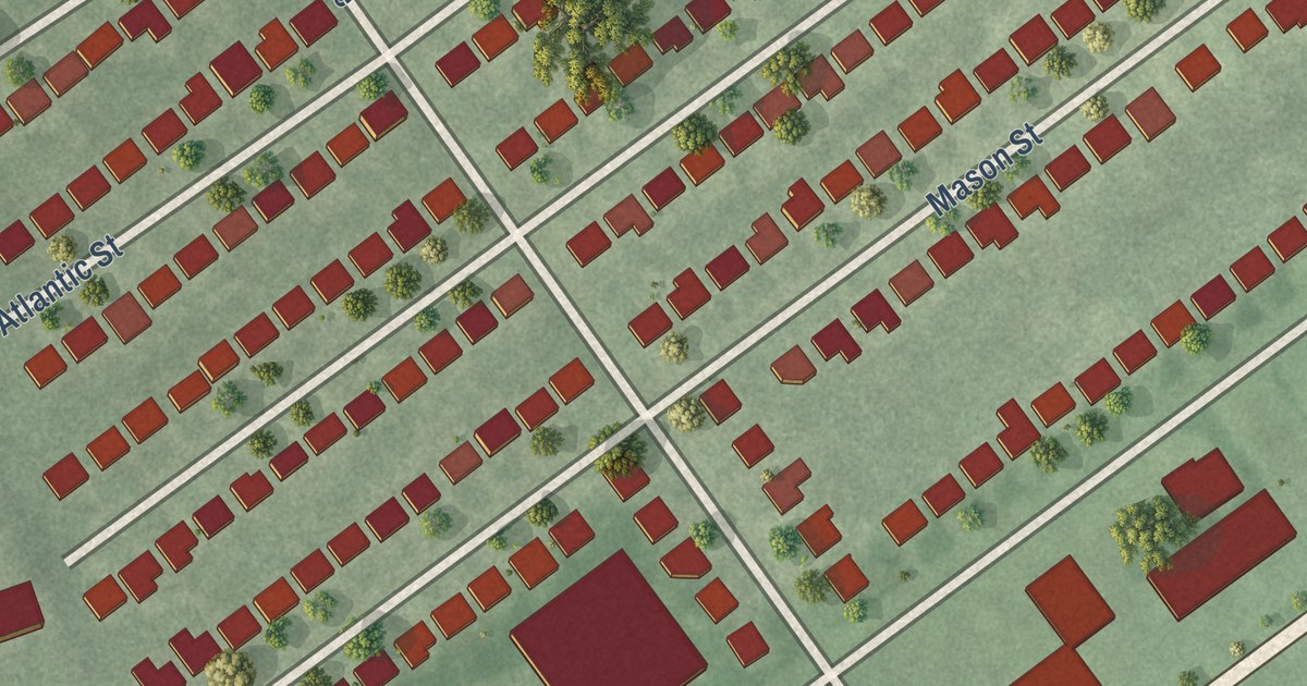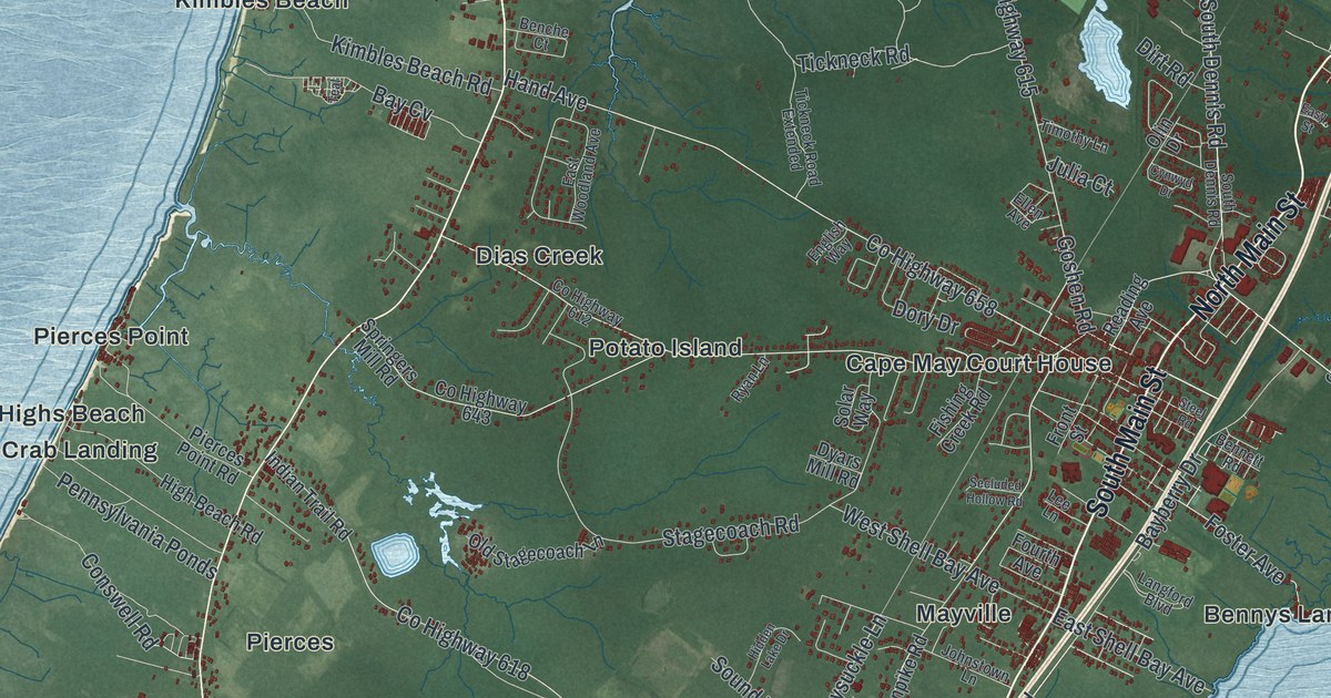
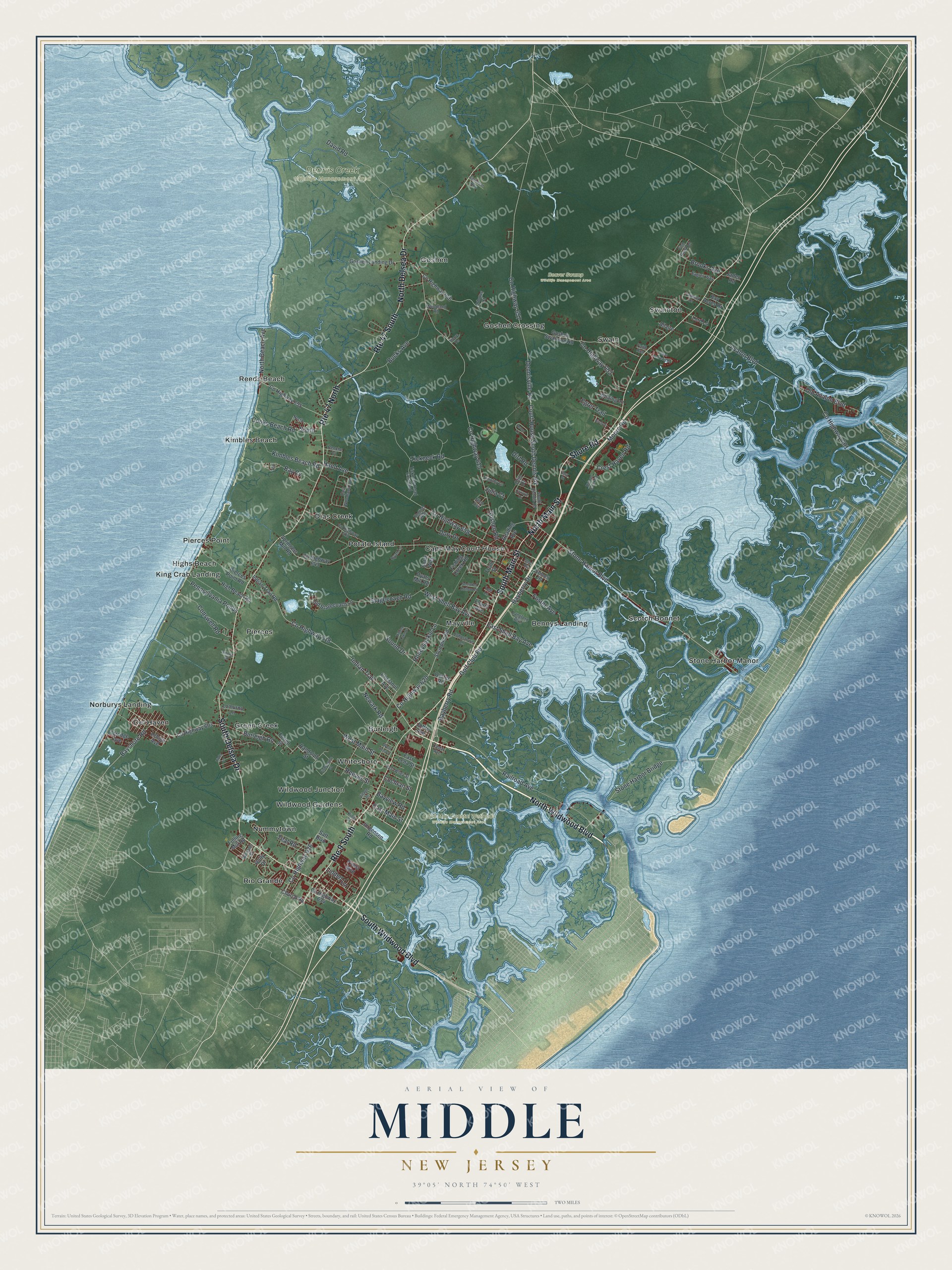
This beautifully detailed map of Middle, New Jersey was created in 2026 using aerial imagery combined with modern topographical, census, street and landmark data. It’s a one-of-a-kind view of Middle that combines accurate data with a vintage aesthetic. The map shows every building in its true location, many of the roads carry their names, and the shaded topographic relief shows the shape of the land.
Explore an aerial view of Middle, New Jersey
On the map you’ll find Bennys Landing, Burleigh, Cape May Court House, Del Haven, Dias Creek, Beaver Swamp Wildlife Management Area, Cape May Coastal Wetlands Wildlife Management Area, and Dennis Creek Wildlife Management Area, along with Wildwood Boulevard, Main Street, Delsea Drive, Shore Road, Honeysuckle Lane, and more. If you look closely you can even find your house accurately drawn in its correct location. Zoom in on the preview to look for yours.
Did You Know?
Middle Township dates to 1723, when Cape May was split into three townships. Lower Township and Upper Township were created at the same time. Middle took its name from its place between them. Its Cape May Court House section is now the county seat.
Take a closer look at the Middle map
Names on this map
These names are printed on this map.
Places: Beaver Swamp Wildlife Management Area, Cape May Coastal Wetlands Wildlife Management Area, Dennis Creek Wildlife Management Area, Bennys Landing, Burleigh, Cape May Court House, Del Haven, Dias Creek, Goshen, Goshen Crossing, Green Creek, Highs Beach, Kimbles Beach, King Crab Landing, Mayville, Norburys Landing, Nummytown, Pierces, Pierces Point, Potato Island, Reeds Beach, Rio Grande, Scotch Bonnet, Stone Harbor Manor, Swain, Swainton, Whitesboro, Wildwood Gardens and Wildwood Junction.
Streets and roads: Route 47 South, North Wildwood Boulevard, South Main Street, Route 9 South, North Main Street, Route 47 North, South Delsea Drive, Shore Road, North Delsea Drive, South Wildwood Boulevard, County Highway 618, West Main Street.
More street names, A to Z
Acorn Lane, Allaire, Arbutus Court, Avalon Boulevard, Bay Acres Drive, Bayberry Drive, Bayberry Road, Bay Cv, Bayshore Road, Bayview Road, Benche Court, Bennett Road, Birch Drive, Brooks Avenue, Bucks Avenue, Burleigh Road, Cedar Avenue, Chestnut Avenue, Church Road, Cochran Street, Conswell Road, Cooks Beach Road, County Highway 601, County Highway 603, County Highway 612, County Highway 615, County Highway 620, County Highway 626, County Highway 634, County Highway 643, County Highway 646, County Highway 652, County Highway 655, County Highway 657, County Highway 658, Court House South Dennis Road, Crest Haven Road, Cynwyd Drive, David Road, Dennisville Road, Dirt Road, Dory Drive, Dyars Mill Road, Eagles Way, Easement Row, East Lena Street, East Main Street, East Shell Bay Avenue, East Wiley Street, East Woodland Avenue, Easy Street, Egret Trail, Eldredge Avenue, Ellen Avenue, English Way, Fairway Drive, Faith Run, Fishbourne Street, Fish Hawk Lane, Fishing Creek Road, Foster Avenue, Fourth Avenue, Front Street, Fulling Mill Road, Fulton Street, Golf Club Road, Goshen Landing Drive, Goshen Road, Goshen Swainton Road, Hand Avenue, Hidden Lake Drive, High Beach Road, Holly Drive, Holmes Creek Road, Honeysuckle Lane, Indian Trail, Indian Trail Road, Jaden Road, Joffre Avenue, Johnstown Lane, Jorgensen Road, Julia Court, Kimbles Beach Road, King Street, Langford Boulevard, Lee Lane, Lehigh Avenue, Linda Lane, Linden Lane, Lomurno Lane, Lord Lane, Moore Road, Moore Terrace, Newark Road, North, North Beach Avenue, Old Avalon Boulevard, Old Stagecoach Lane, Olin Drive, Oyster Road, Pennsylvania Ponds, Pierces Point Road, Priest Boulevard, Railroad Avenue, Randolph Street, Reading Avenue, Reeves Street, Ryan Lane, Saint Andrews Drive, Satt Boulevard, Secluded Hollow Road, Shunpike Road, Smoke Road, Solar Way, Sound Drive, South, South Dennis Road, Springers Mill Road, Stagecoach Road, Steel Road, Stone Harbor Boulevard, Stone Harbor Bridge, Teal, Teal Road, Tickneck Road, Tickneck Road Extended, Timothy Lane, Village Drive, West Lena Street, West Shell Bay Avenue, Whiting Lane, Williams Street, Woodland Road.
See it on a wall
The Middle map as an 18 x 24 inch print in a black frame.

This beautifully detailed map of Middle makes an attractive addition to your office, library, or den, and it can even be used to teach children the geography and history of the area. It also makes a great gift for anyone with Middle roots. When you’re done exploring, click here to get your copy of the Middle map.