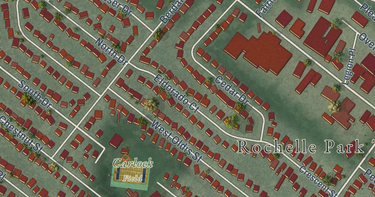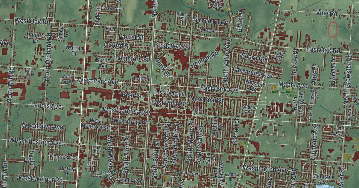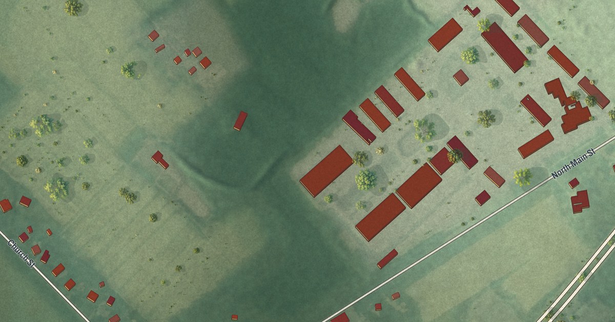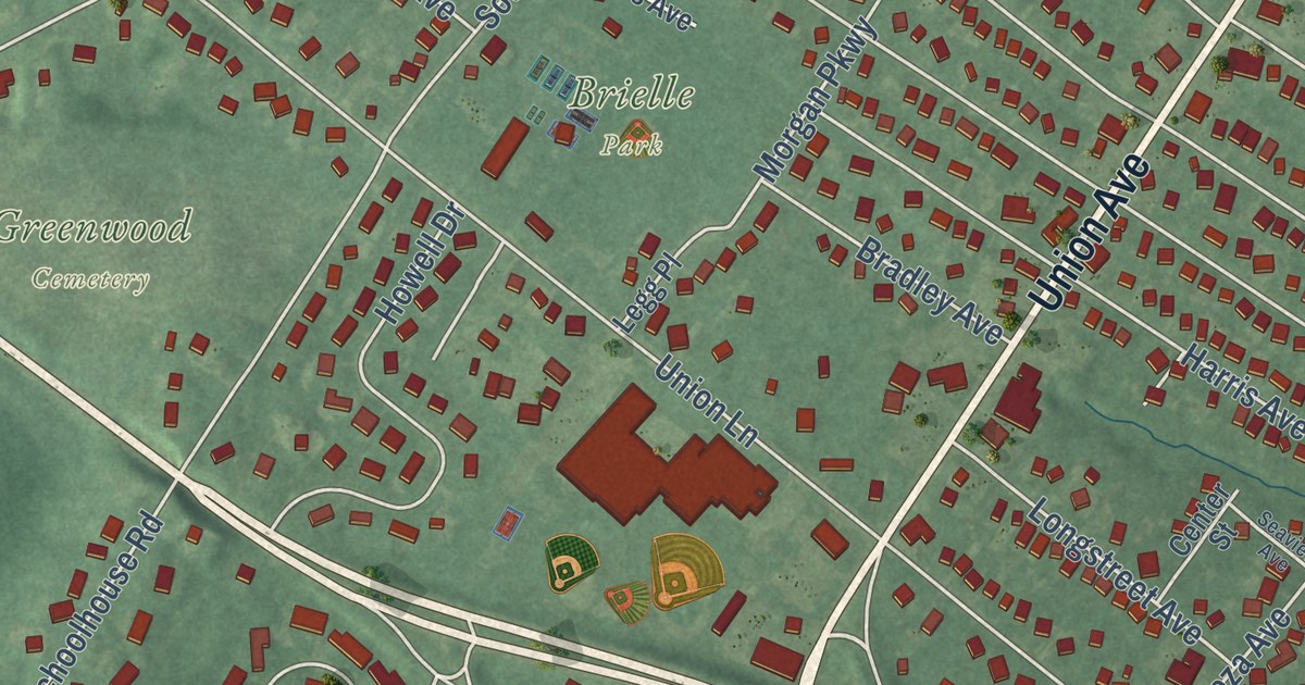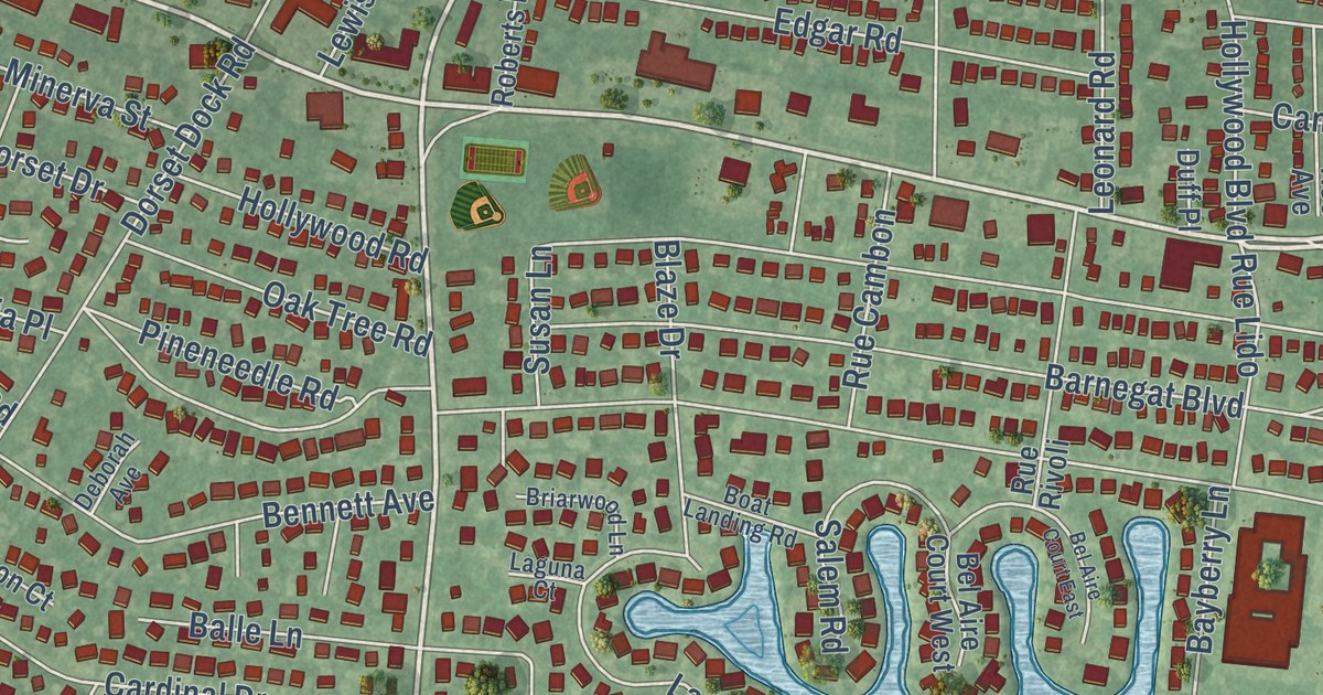
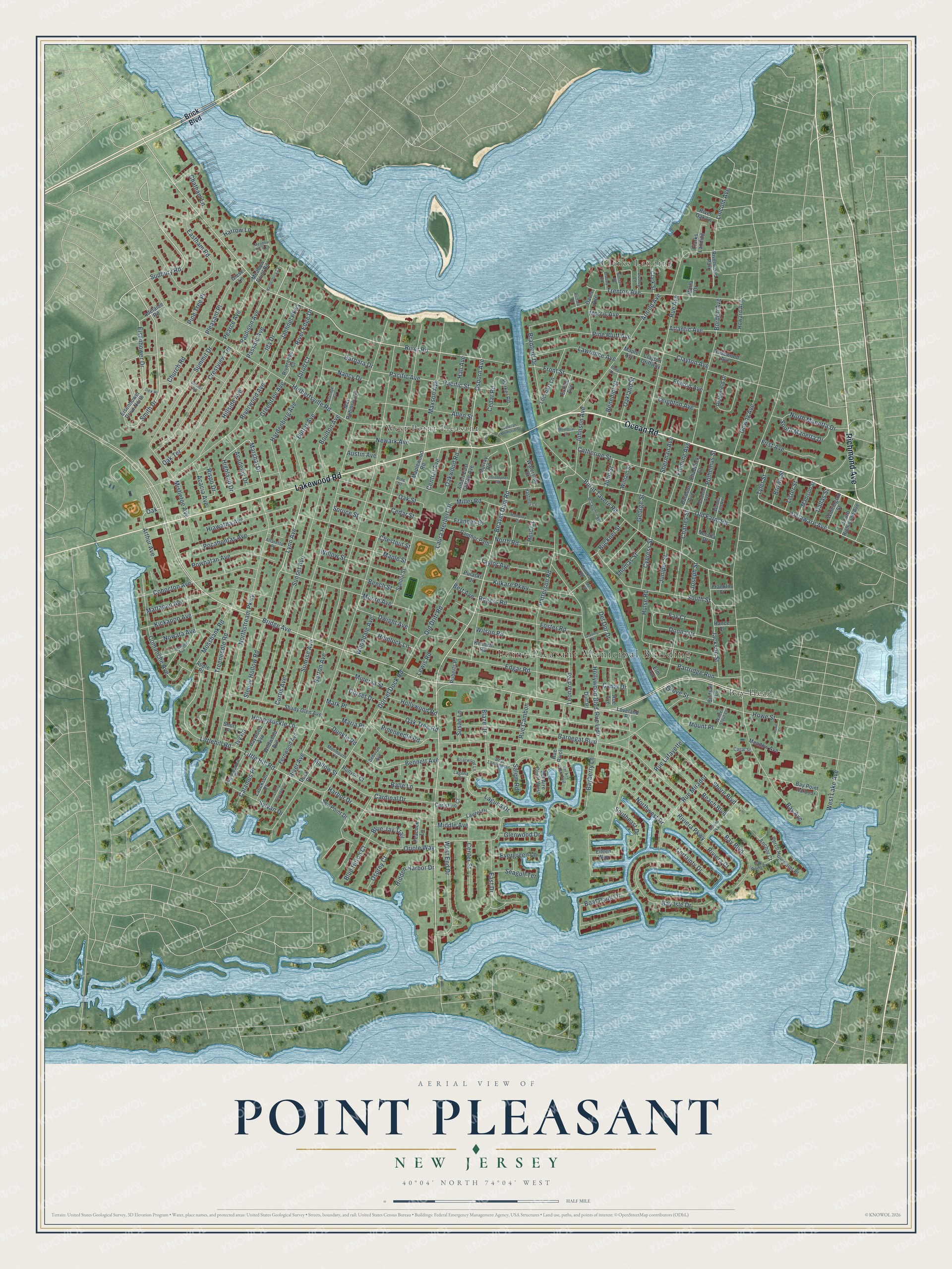
This beautifully detailed map of Point Pleasant, New Jersey was created in 2026 using aerial imagery combined with modern topographical, census, street and landmark data. It’s a one-of-a-kind view of Point Pleasant that combines accurate data with a vintage aesthetic. The map shows every building in its true location, many of the roads carry their names, and the shaded topographic relief shows the shape of the land.
Explore an aerial view of Point Pleasant, New Jersey
On the map you’ll find Point Pleasant Municipal Building, Bay Head, Clarks Landing, and West Point Pleasant, along with Ocean Road, Lakewood Road, Richmond Avenue, Brick Boulevard, and more. If you look closely you can even find your house accurately drawn in its correct location. Zoom in on the preview to look for yours.
Did You Know?
Around 1500 this ground was a ceremonial meeting place for the Lenape. They called it the Land of Tall Timber. Fishermen, farmers and boat builders from Europe settled here about 1665. The borough split from Brick Township in 1920, yet its post office was called West Point Pleasant until 1956.
Take a closer look at the Point Pleasant map
Names on this map
These names are printed on this map.
Places: Point Pleasant Municipal Building, Clarks Landing, West Point Pleasant, Bay Head and Riverwood Park.
Streets and roads: Ocean Road, Lakewood Road, Richmond Avenue, Bridge Avenue, Beaver Dam Road, River Road, Lynn Avenue, Marshal Drive, Oak, Smith Drive, Osborn Avenue, Sudbury Road.
More street names, A to Z
Acacia Avenue, Academy Drive, Adelaide Road, Albert East Clifton Avenue, Alfaretta Place, Allen Street, Anchor Court, Apple Place, Arnold Avenue, Arthur Avenue, Atlantic Avenue, Austin Avenue, Balle Lane, Barbara Drive, Barbour Avenue, Barnegat Boulevard, Barton Avenue, Bay Avenue, Bayberry Lane, Bay Boulevard, Bay Isle Drive, Bay Point Harbour, Bay Point Place, Baywood Avenue, Beach Boulevard, Beech Street, Bel Aire Court East, Bel Aire Court West, Benedict Street, Bennett Avenue, Bert Avenue, Birdsall Lane, Blaze Drive, Blue Heron Court, Blue Jay Trail, Boat Landing Road, Boat Point Drive, Borden Avenue, Boulton Avenue, Bradford Drive, Bradley Road, Briarwood Lane, Brick Boulevard, Brooks Road, Brown Street, Buckner Street, Burnt Tavern Road, Butler Avenue, Calamus Place, Canal Drive, Canal Street, Cardinal Drive, Catherine Street, Cedar Road, Cedar Street, Center Street, Central Avenue, Certainty Drive, Chadwick Court, Charles Street, Chatham Lane, Cherry Blossom Lane, Chestnut Street, Chicopee Avenue, Christine Court, Christopher Road, Church Road, Claridge Court, Clark Street, Clayton Avenue, Clayton Driftway, Cohocton Avenue, Comanche Avenue, Crestview Terrace, Curtis Avenue, Cypress Street, Dallas Street, Davis Avenue, Deborah Avenue, Delaware Avenue, Del Dor Drive, Dock Place, Donna Drive, Dorset Dock Road, Dorset Drive, Dudley Lane, Duff Place, Dunkle Road, Dwight Avenue, East Drive, Eastham Road, Edgar Road, Eileen Way, Eisenhower Drive, Eisenhower Drive North, Ellison Avenue, Elm Avenue, Estelle Avenue, Evergreen Lane, Fay Court, Fernwood Avenue, First Avenue, Fleming Avenue, Foster Road, Frances Drive, Franklin Street, Front Street, Gardens Avenue, George Street, Giese Lane, Glenwood Drive, Gowdy Avenue, Grasing Terrace, Greentree Avenue, Grove Street, Hall Avenue, Hance Place, Harbor Drive, Hardenberg Avenue, Hardenburg Cv, Harrow Lane, Hastings Lane, Heid Court, Hemlock Lane, Herbertsville Road, Hiawatha Avenue, Hidden Harbor Drive, Highland Drive, Highmeadow Drive, Hillside Avenue, Hollywood Boulevard, Hollywood Road, Honeysuckle Lane, Howard Avenue, Howe Court, Howe Street, Hulse Road, Ida Drive, Ilex Place, Ivy Road, Jackson Street, Jaehnel Parkway, Jarob Court, Johnson Avenue, John Street, Joseph Street, Juniper Street, Kenneth Road, Kickapoo Avenue, Kilkare Parkway, Laguna Court, Laguna Drive, Lauckson Place, Laura Herbert Drive, Laurel Drive, Lawrence Avenue, Leighton Avenue, Leonard Road, Lewis Road, Lincoln Avenue, Lister Street, Little Hill Road, Littlehill Road, Lockhart Lane, Loveland Place, Madison Street, Mahoney Drive, Mallow Street, Maple Avenue, Maple Street, Maplewood Road, Maria Place, Marine Parkway, Mark Place, Marla Drive, Mattapan Avenue, Matt Robinson Lane, Maxson Avenue, McLaughlin Avenue, Meadow Avenue, Meadow Point Lane, Meadow Point Road, Meli Drive, Memorial Drive, Middle Avenue, Miller Road, Minerva Street, Mistletoe Avenue, Monmouth Court, Moore Avenue, Morris Avenue, Mossbank Road, Mount Place, Murray Road, Nancy Drive, Nersita Drive, Newark Avenue, North Manetta Drive, North Road, Northstream Parkway, Northwest Drive, Nowata Avenue, Oakland Street, Oak Street, Oak Terrace, Oak Tree Road, Oakwood Road, Old Drift Road, Old Farm Road, Oriole Way, Osprey Court, Pacific Avenue, Pacific Street, Panther Path, Parker Road, Partridge Run, Passaic Avenue, Patterson Road, Paulison Avenue, Peacock Lane, Pearce Avenue, Perch Hole Point Place, Phila Avenue, Pine Bluff Avenue, Pineneedle Road, Pine Street, Pine Tree Place, Pleasant Place, Pocahontas Avenue, Polhemus Street, Powhatan Avenue, Pulaski Drive, Richard Road, Ridgefield Drive, Rispo Drive, River Avenue, Riveredge Court, River Edge Drive, River Oak Lane, Riverwood Avenue, Riviera Court, Riviera Parkway, Roberts Place, Roe Avenue, Rogers Road, Rosewood Avenue, Rue Avenue, Rue Cambon, Rue Lafayette, Rue Lido, Rue Mirador, Rue Rivoli, Runyon Court, Salem Road, School Street, Seagull Terrace, Sea Point Drive, Shady Glen Avenue, Sherman Avenue, Shore Boulevard, Short Place, Sinclair Road, Sleepy Hollow Road, Southeast Drive, South Manetta Drive, South Richmond Avenue, South Street, Spruce Street, Summit Drive, Summit Road, Sunrise Avenue, Sunset Avenue, Susan Lane, Sylvan Drive, Taylor Avenue, Thomas Street, Treeneedle Road, Trenton Avenue, Tyler Street, Veteran Memorial Drive, Walter Slout Lane, Waterside Court, West End Drive, West Lake Avenue, Wildwood Avenue, William Street, Willow Street, Wilmington Street, Wilson Road, Wooddale Avenue, Woods End Road.
See it on a wall
The Point Pleasant map as an 18 x 24 inch print in a black frame.

This beautifully detailed map of Point Pleasant makes an attractive addition to your office, library, or den, and it can even be used to teach children the geography and history of the area. It also makes a great gift for someone who left Point Pleasant and still calls it home. When you’re done exploring, click here to get your copy of the Point Pleasant map.