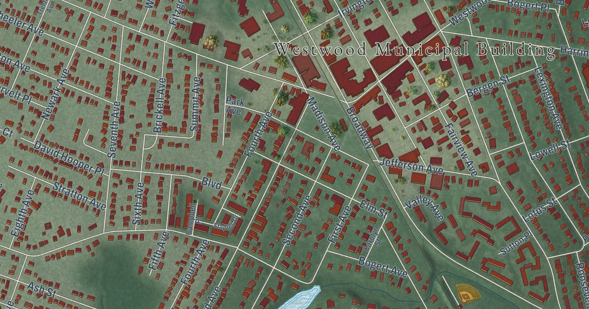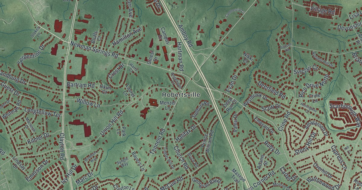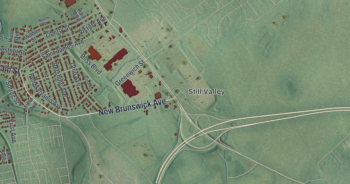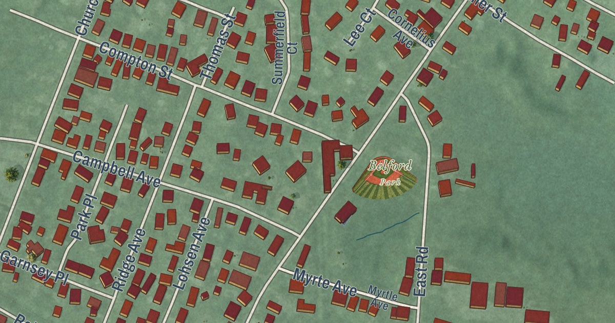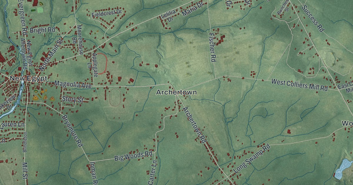
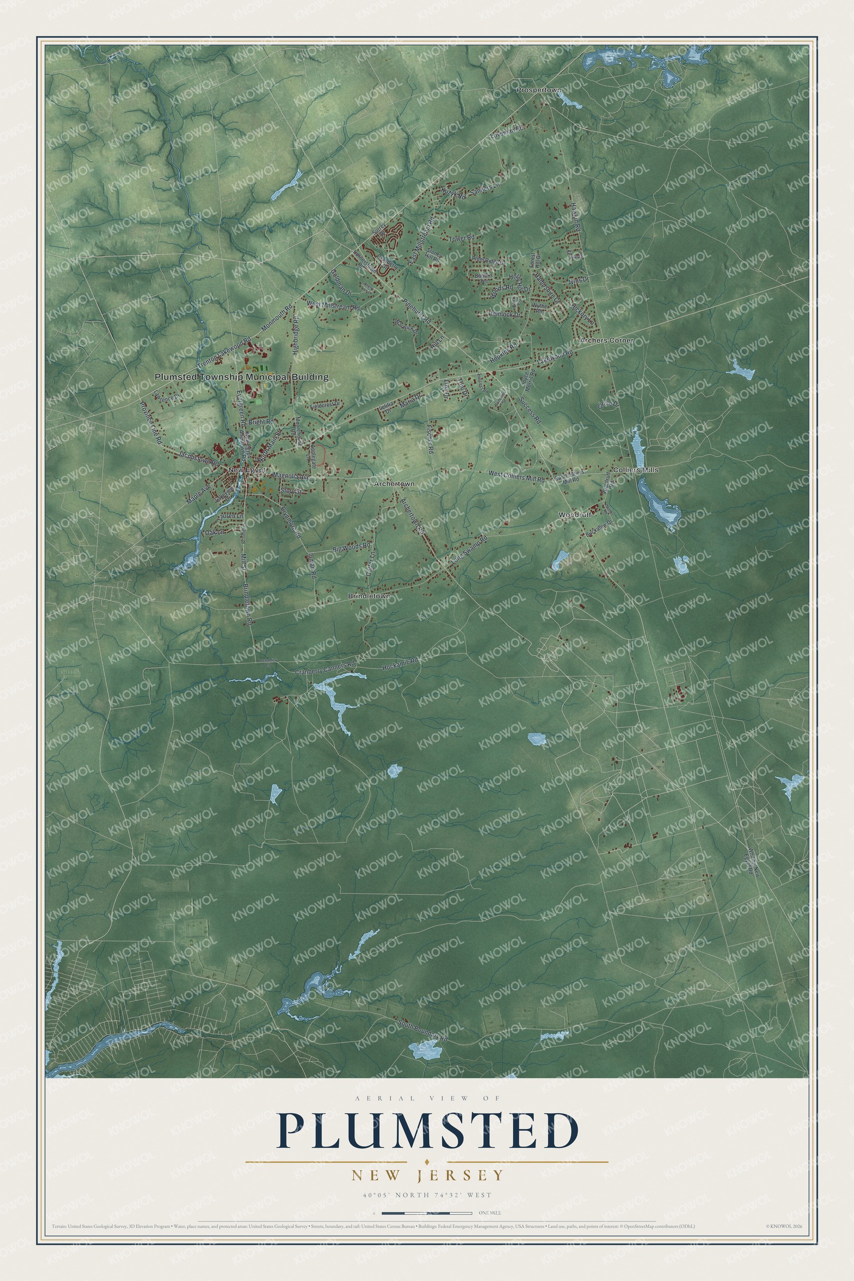
This beautifully detailed map of Plumsted, New Jersey was created in 2026 using aerial imagery combined with modern topographical, census, street and landmark data. It’s a one-of-a-kind view of Plumsted that combines accurate data with a vintage aesthetic. The map shows every building in its true location, many of the roads carry their names, and the shaded topographic relief shows the shape of the land.
Explore an aerial view of Plumsted, New Jersey
On the map you’ll find Plumsted Township Municipal Building, Archers Corner, Archertown, Brindletown, Colliers Mills, and New Egypt, along with Archertown Road, Jacobstown Road, Magnolia Avenue, Province Line Road, and more. If you look closely you can even find your house accurately drawn in its correct location. Zoom in on the preview to look for yours.
Did You Know?
Plumsted took its name from Clement Plumstead, an English Quaker. He bought a large tract of land here but never once visited it. The New Jersey Legislature created the township in 1845 from parts of Jackson Township, when the area still belonged to Monmouth County.
Take a closer look at the Plumsted map
Names on this map
These names are printed on this map.
Places: Plumsted Township Municipal Building, Archers Corner, Archertown, Brindletown, Colliers Mills, New Egypt, Prospertown and Woodruff.
Streets and roads: Archertown Road, Jacobstown Road, Magnolia Avenue, Province Line Road, Maple Avenue, North Main Street, Pinehurst Road, Lakewood Road, Hawkin Road, Brindletown Road, Mill Street, South Boundary Road.
More street names, A to Z
Applegate Lane, Big Woods Road, Bobbi's Terrace, Bright Road, Brindleton, Brynmore Road, Buckalew Drive, Bunches Street, Carter Lane, Cherry Tree Lane, Circle Drive, Cranberry Canners Road, Cranberry Drive, East Colliers Mill Road, East Millstream Road, Evergreen Road, Fieldcrest Drive, Fischer Road, Forest Hill Drive, Goldman Drive, Hampshire Court, Hemlock Drive, Hickory Lane, Highbridge Road, Hill Lane, Hockamick Road, Hockamic Road, Holly Hill Drive, Holmes Road, Hopkins Road, Hornerstown Road, Inman Road, Ivins Drive, Joyce Morris Road, Kenyon Drive, Kuzyk Road, Lakeview Drive, Lauren Lane, Lawrence Drive, Letitia Drive, Lina Drive, Long Swamp Road, Loveman Road, Maria Drive, Monmouth Road, Moorehouse Road, New Egypt Allentown Road, Oak Lane, Pin Oak Drive, Plum Ridge Drive, Sanders Lane, Stoney Hill Road, Story Street, Success Place, Success Road, Surrey Drive, Toni Drive, Tower Road, Trenton Lakewood Road, Warwick Drive, West Colliers Mill Road, West Millstream Road, Whiting-New Egypt Road, Woodruff Road, Woods Road, Wythe Road.
See it on a wall
The Plumsted map as an 18 x 24 inch print in a black frame.

This beautifully detailed map of Plumsted makes an attractive addition to your office, library, or den, and it can even be used to teach children the geography and history of the area. It also makes a great gift for anyone with Plumsted roots. When you’re done exploring, click here to get your copy of the Plumsted map.