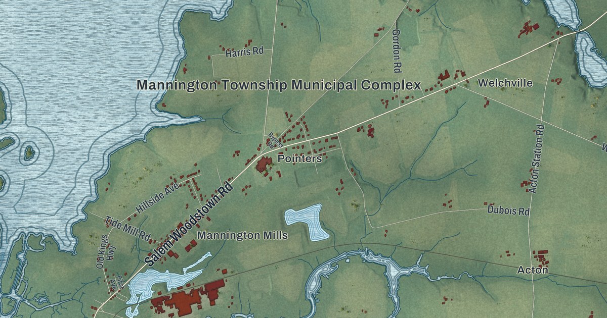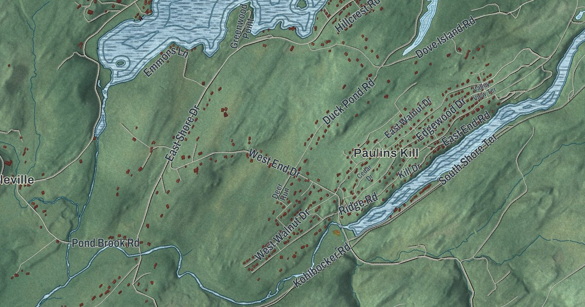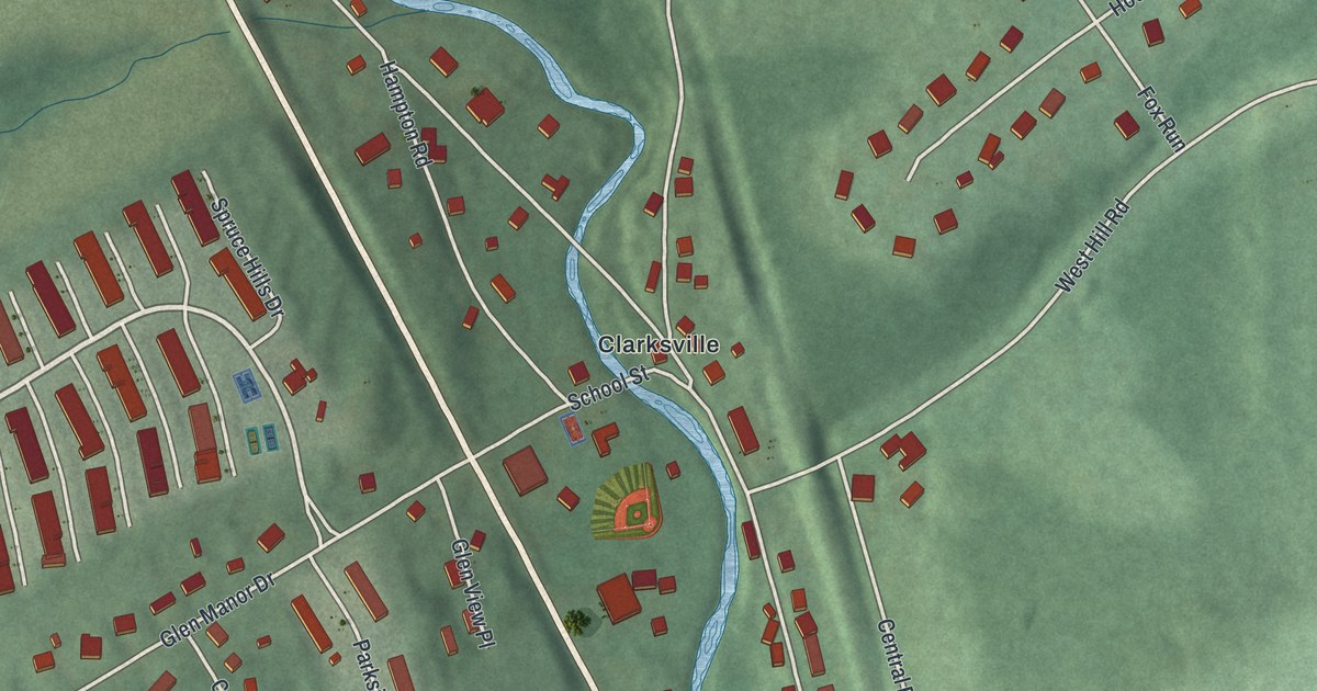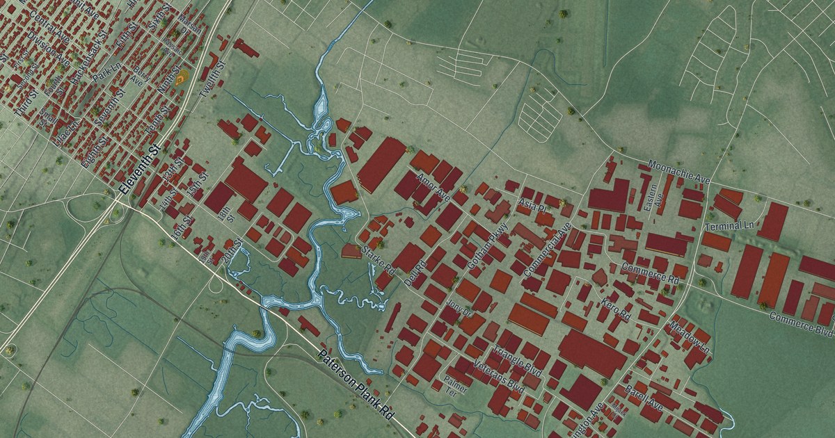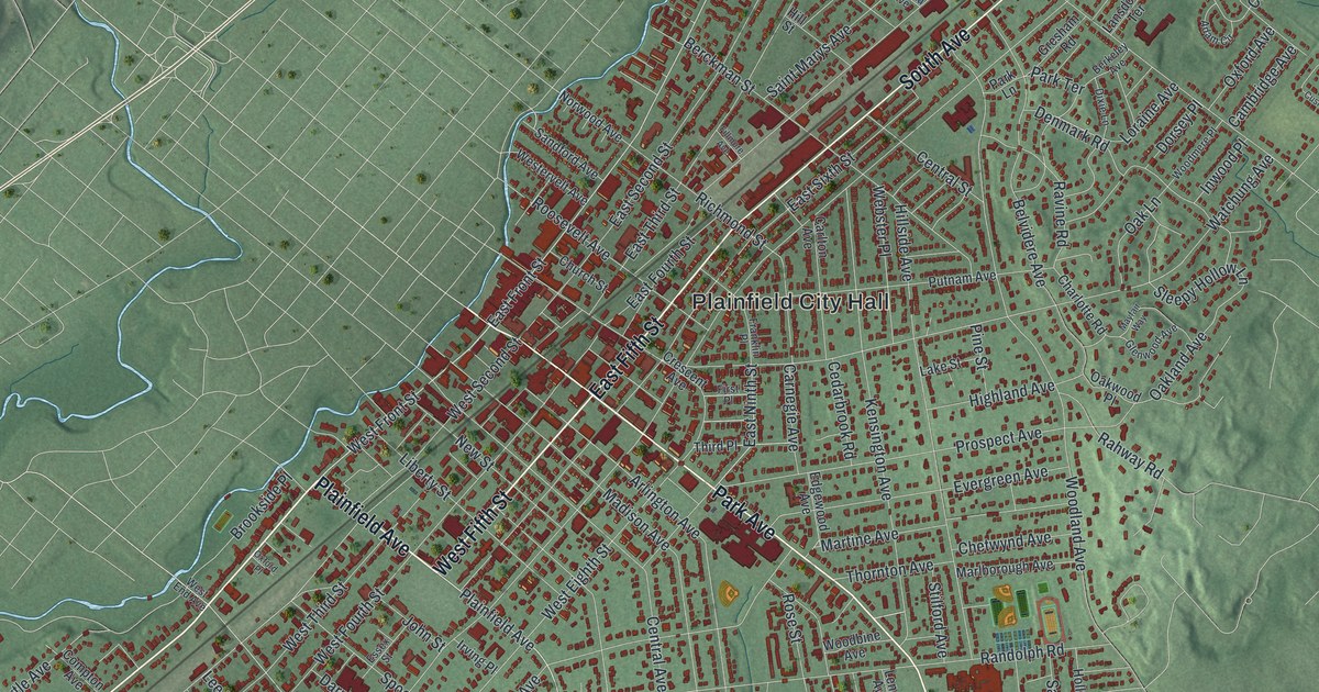
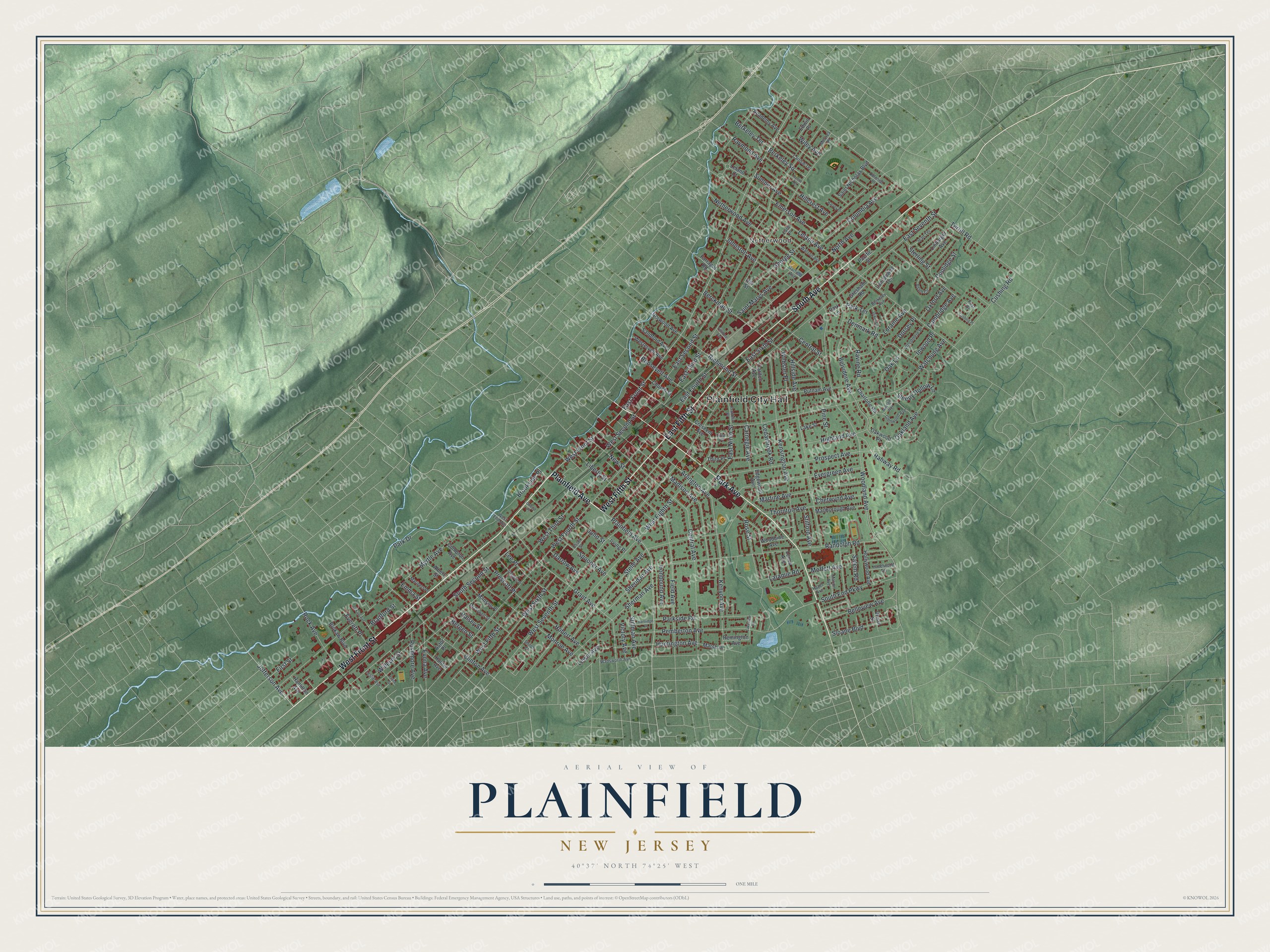
This beautifully detailed map of Plainfield, New Jersey was created in 2026 using aerial imagery combined with modern topographical, census, street and landmark data. It’s a one-of-a-kind view of Plainfield that combines accurate data with a vintage aesthetic. The map shows every building in its true location, many of the roads carry their names, and the shaded topographic relief shows the shape of the land.
Explore an aerial view of Plainfield, New Jersey
On the map you’ll find Plainfield City Hall and Netherwood, along with Front Street, Fifth Street, Plainfield Avenue, Park Avenue, and more. If you look closely you can even find your house accurately drawn in its correct location. Zoom in on the preview to look for yours.
Did You Know?
Quakers settled Plainfield in 1684, and it became a city in 1869. The Nathaniel Drake House was built in 1746. In June 1777, during the fighting at Short Hills, the house is remembered as the headquarters of George Washington.
Take a closer look at the Plainfield map
Names on this map
These names are printed on this map.
Places: Plainfield City Hall and Netherwood.
Streets and roads: West Front Street, West Fifth Street, East Fifth Street, Plainfield Avenue, Park Avenue, South Avenue, Park Drive, East Front Street, Jefferson Avenue, Grant Avenue, Pemberton Avenue, Woodland Avenue.
More street names, A to Z
Academy Avenue, Adam Circle, Albert Street, Arlington Avenue, Astor Place, Belleview Avenue, Belvidere Avenue, Berckman Street, Bergen Street, Berkeley Avenue, Berkeley Square, Berkeley Terrace, Bradford Street, Brokaw Boulevard, Brookside Place, Cambridge Avenue, Carlisle Terrace, Carlton Avenue, Carnegie Avenue, Cedarbrook Road, Central Avenue, Central Street, Charlotte Road, Chetwynd Avenue, Church Street, Clinton Avenue, Colonial Place, Columbia Avenue, Compton Avenue, Coolidge Street, Crescent Avenue, Cushing Place, Cushing Road, Darrow Avenue, Dekalb Avenue, Denmark Road, Dixie Lane, Dorsey Place, Earle Place, East Fourth Street, East Ninth Street, East Second Street, East Seventh Street, East Sixth Street, East Third Street, Edgewood Avenue, Edwin Place, Emerson Avenue, Emma Street, Essex Street, Everett Place, Evergreen Avenue, Evona Avenue, Farragut Road, Field Avenue, Fillmore Avenue, First Place, First Street, Frace Street, Franklin Place, Garfield Avenue, George Street, Glenwood Avenue, Gresham Road, Halsey Street, Hamilton Avenue, Hartridge Place, Harvey Place, Hazel Avenue, Hazelwood Terrace, Highland Avenue, Hillcrest Avenue, Hillside Avenue, Hill Street, Hobert Avenue, Hollywood Avenue, Hunter Avenue, Huntington Avenue, Inwood Place, Ironbound Avenue, Irving Place, Jean Terrace, Johnston Avenue, John Street, Kensington Avenue, Kenyon Avenue, Lake Street, Lakeview Terrace, Lansdowne Terrace, Laramie Road, Lee Place, Leland Avenue, Leland Court, Lenox Avenue, Leslie Avenue, Lewis Avenue, Liberty Street, Linbarger Avenue, Loraine Avenue, Madison Avenue, Manson Place, Mariners Place, Marion Avenue, Marlborough Avenue, Marsh Place, Martine Avenue, Mayfair Way, McCrea Place, McDowell Street, Moffett Avenue, Monroe Avenue, Myrtle Avenue, Netherwood Avenue, New Street, North Avenue, Norwood Avenue, Oakland Avenue, Oak Lane, Oakwood Place, Oxford Avenue, Oxford Place, Pacific Street, Park Lane, Parkside Road, Park Terrace, Pine Street, Post Drive, Prescott Place, Prospect Avenue, Putnam Avenue, Rahway Road, Randolph Road, Ravine Road, Raymond Avenue, Reeve Terrace, Remington Avenue, Richmond Street, Rock Avenue, Roosevelt Avenue, Rose Street, Rushmore Avenue, Saint Marys Avenue, Saint Nicholas Boulevard, Salem Road, Sandford Avenue, Sheridan Avenue, Sherman Avenue, Shiloh Court, Sleepy Hollow Lane, Sloane Boulevard, South End Parkway, South Second Street, Spooner Avenue, Stebbins Place, Stelle Avenue, Sterling Street, Stilford Avenue, Stillman Avenue, Sumner Avenue, Terrill Road, Third Place, Thornton Avenue, Victory Avenue, Vivian Street, Wadsworth Avenue, Watchung Avenue, Watson Avenue, Webster Place, West Eighth Street, West End Avenue, Westervelt Avenue, West Fourth Street, West Second Street, West Seventh Street, West Sixth Street, West Third Street, Wiley Avenue, Willever Street, Woodbine Avenue, Woodmere Place.
See it on a wall
The Plainfield map as an 18 x 24 inch print in a black frame.

This beautifully detailed map of Plainfield makes an attractive addition to your office, library, or den, and it can even be used to teach children the geography and history of the area. It also makes a great gift for anyone who grew up in Plainfield or moved away. When you’re done exploring, click here to get your copy of the Plainfield map.