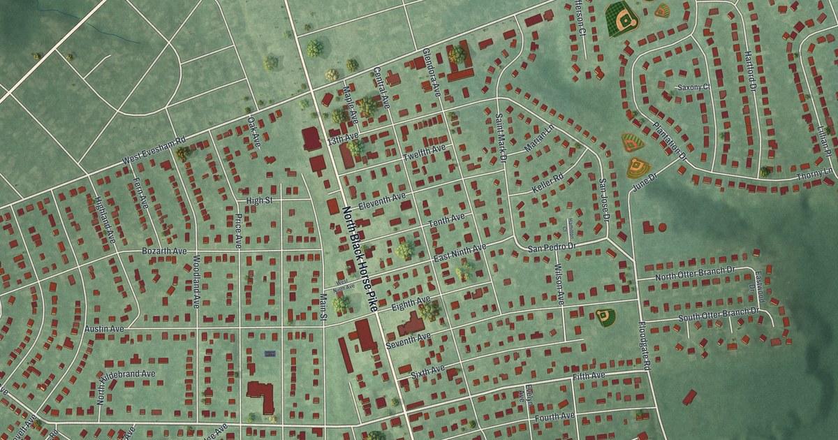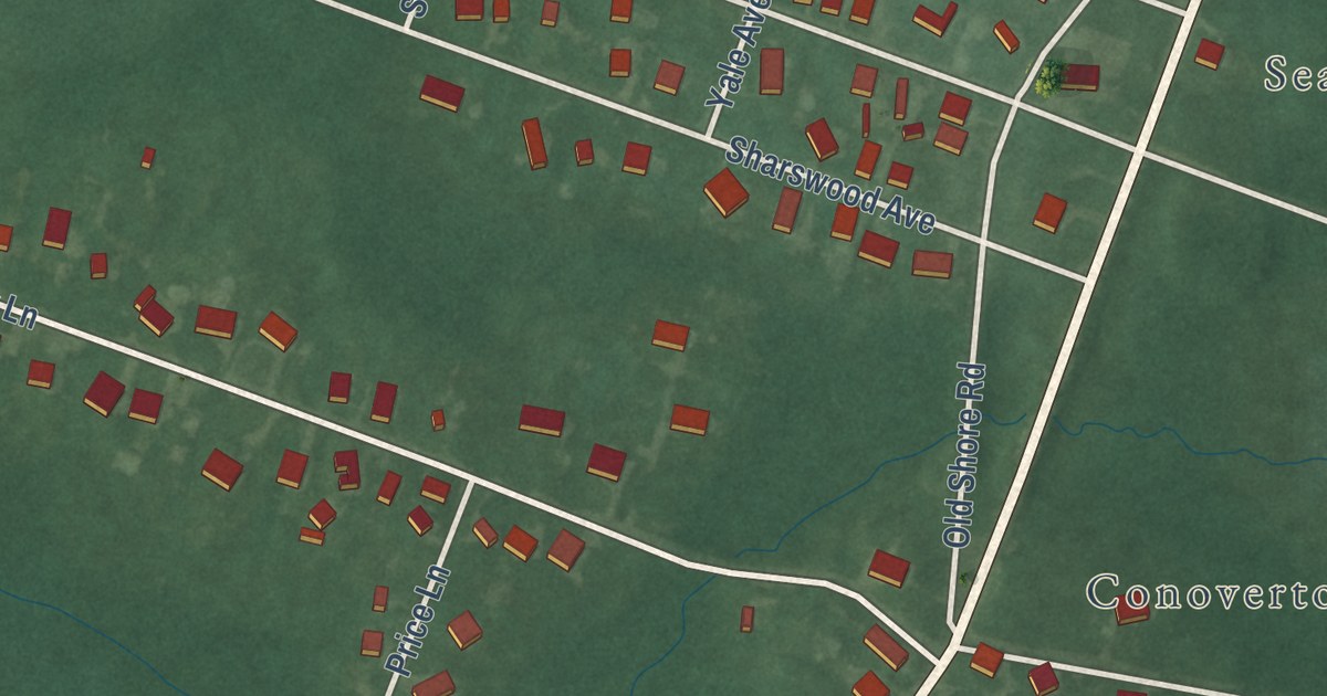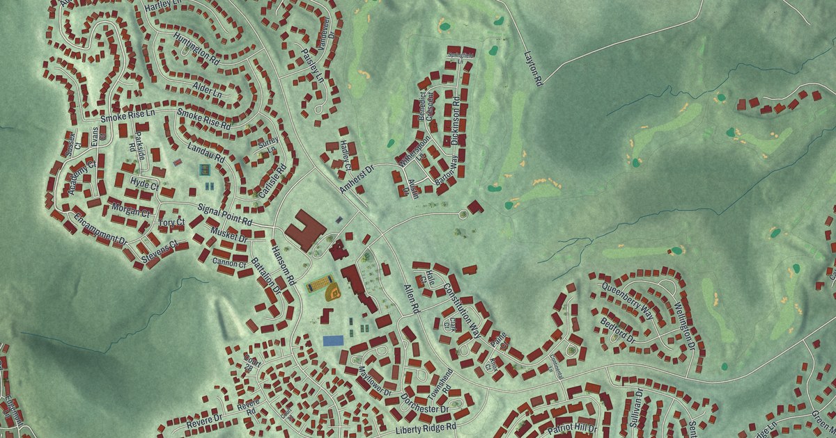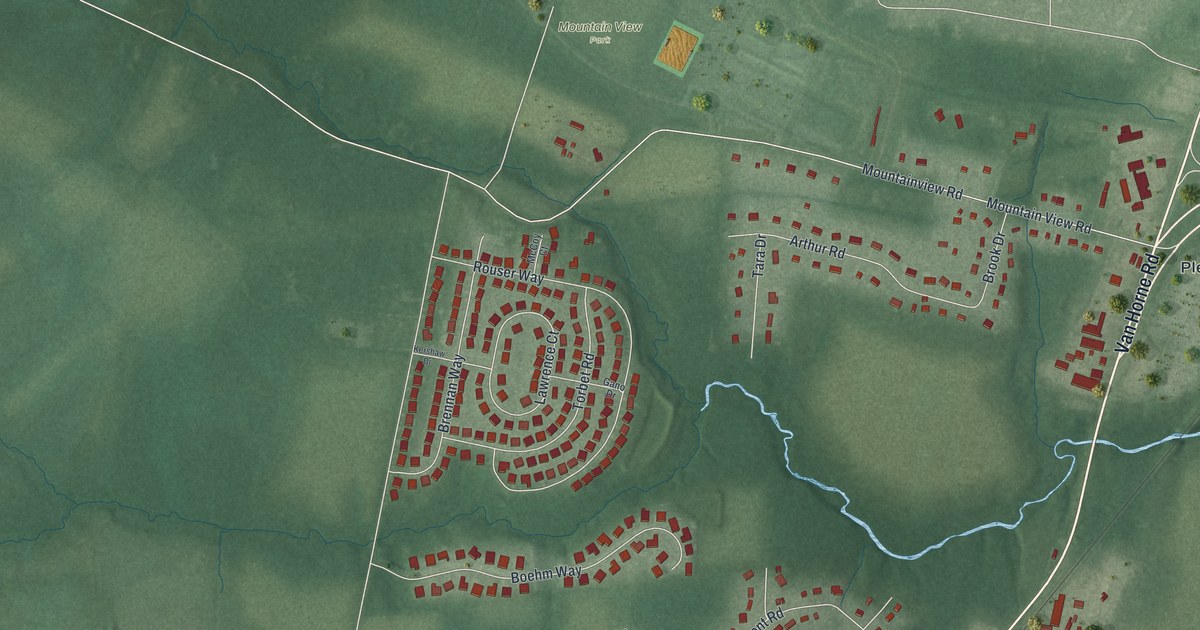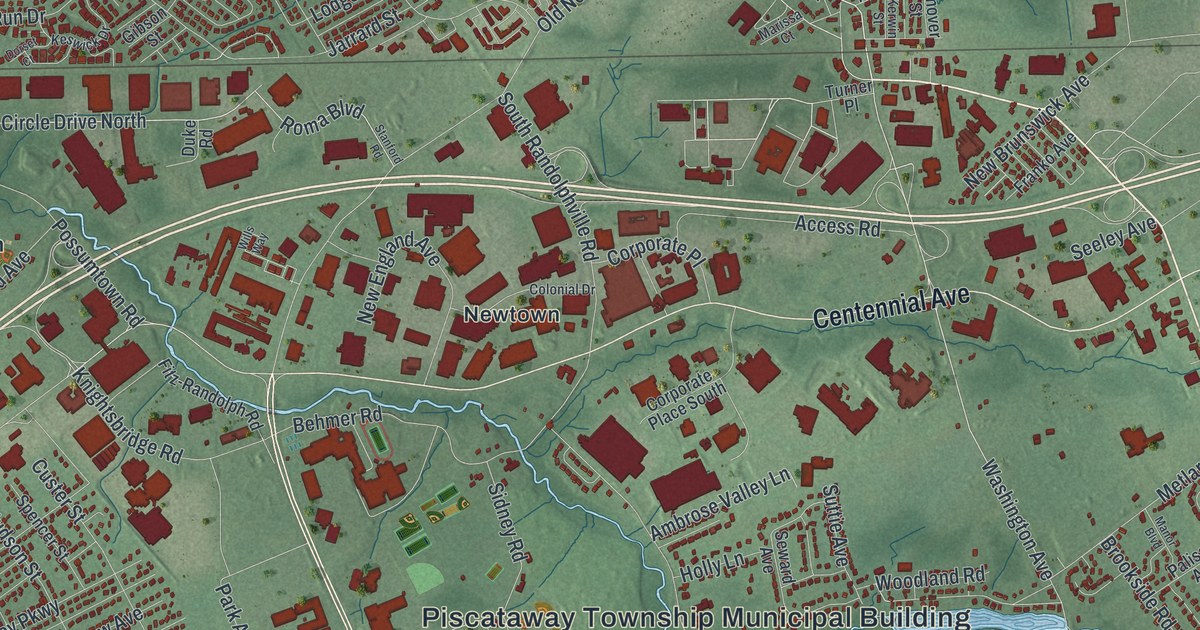
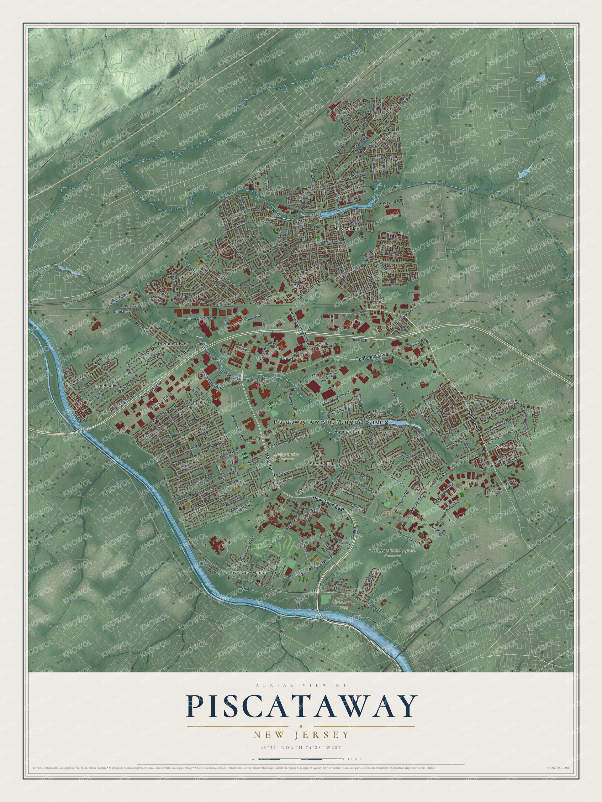
This beautifully detailed map of Piscataway, New Jersey was created in 2026 using aerial imagery combined with modern topographical, census, street and landmark data. It’s a one-of-a-kind view of Piscataway that combines accurate data with a vintage aesthetic. The map shows every building in its true location, many of the roads carry their names, and the shaded topographic relief shows the shape of the land.
Explore an aerial view of Piscataway, New Jersey
On the map you’ll find Piscataway Township Municipal Building, North Stelton, Fieldville, New Market, Newtown, Possumtown, Johnson Park, Resurrection Cemetery, and Rutgers Ecological Preserve, along with Stelton Road, Hoes Lane, Centennial Avenue, Washington Avenue, and more. If you look closely you can even find your house accurately drawn in its correct location. Zoom in on the preview to look for yours.
Did You Know?
In 1666 Governor Philip Carteret gave twelve settlers from Massachusetts a grant of 100 square miles. That land became Piscataway and Woodbridge. The settlers signed twelve Articles of Agreement with him. The articles promised land, liberty, religious freedom and the right to elect their own leaders.
Take a closer look at the Piscataway map
Names on this map
These names are printed on this map.
Places: Piscataway Township Municipal Building, North Stelton, Johnson Park, Resurrection Cemetery, Rutgers Ecological Preserve, Fieldville, New Market, Newtown, Possumtown, Randolphville, Riverview Manor and Society Hill.
Streets and roads: Stelton Road, Hoes Lane, Hoes Lane East, Centennial Avenue, South Washington Avenue, Bevier Road, Davidson Road, Circle Drive North, Baekeland Avenue, River Road, County Route 622, Washington Avenue.
More street names, A to Z
Access Road, Adams Street, Albert Street, Alger Avenue, Allison Road, Ambrose Valley Lane, Ames Street, Andrews Way, Anita Drive, Ann Street, Aspen Court, Atlanta Avenue, Avenue East, Azalea Place, Ballas Lane, Barbour Place, Barnett Place, Beatty Street, Behmer Road, Ben Place, Berrue Circle, Bev Avenue, Beverly Road, Birch Run Drive, Birchview Drive, Blackford Avenue, Blue Ridge Avenue, Brentwood Drive, Bret Street, Brett Road, Brook Avenue, Brookside Road, Brotherhood Street, Buckingham Drive, Buena Vista Avenue, Buttonwood Drive, Campus Road, Carlton Avenue, Carlton Club Drive, Carriage Drive, Cedarwood Drive, Center Street, Central Avenue, Charles Terrace, Charter Street, Chestnut Place, Church Street, Clay Avenue, Colonial Drive, Corporate Place, Corporate Place South, County Route 22, Coventry Circle, Crestwood Street, Curtis Avenue, Custer Street, Dahlia Court, Darby Lane, Davis Avenue, Day Avenue, Deerfield Avenue, Desna Street, Dey Street, Dial Avenue, Division Avenue, Dorset Court, Dover Street, Doyle Street, Drake Lane, Dryden Street, Duke Road, Dunbar Avenue, Dunellen Avenue, Dupont Avenue, East Lincoln Avenue, Edwards Avenue, Eighth Street, Eleventh Street, Elk Street, Ellis Parkway, Ethel Road, Ethel Road West, Evans Avenue, Eva Street, Evona Avenue, First Avenue, Fisher Avenue, Fitch Road, Fitz-Randolph Road, Forest Drive, Fountain Avenue, Franko Avenue, Freedom Avenue, Frelinghuysen Road, Fuller Avenue, Gates Avenue, Gibson Street, Glenwood Drive, Golf Links Avenue, Gordon Road, Gramercy Drive, Grandview Avenue, Grant Avenue, Greenwood Drive, Haight Avenue, Haines Avenue, Hall Street, Hamilton Boulevard, Hampshire Court, Hancock Road, Hanover Street, Hanson Avenue, Harper Street, Harte Place, Haywood Avenue, Hazelwood Place, Henry Place, Highland Avenue, High Street, Hillcrest Drive, Hillside Avenue, Hoes Lane West, Holly Lane, Honors Plaza, Hopkinson Avenue, Hospital Road, Howard Street, Howell Avenue, Hudson Street, Hunt Drive, International Avenue, Jackson Street, Jarrard Street, Jefferson Drive, Jesse Way, Johnson Drive, Johnson Park Road, Joyce Drive, Joyce Kilmer Road, Justice Street, Karen Court, Karnell Drive, Kate Terrace, Kerwin Street, Keswick Drive, Kingsbridge Road, Knightsbridge Road, Lackland Avenue, Lake Park Drive, Lakeside Drive South, Lakeview Avenue, Landing Lane, Levgar Street, Lexington Drive, Lilac Way, Lillian Terrace, Lily Lane, Lodge Street, Logan Lane, Ludlow Street, Manor Boulevard, Maple Avenue, Maplehurst Lane, Marcel Lane, Marissa Court, Mayfield Lane, Meister Street, Metlars Lane, Mill Brook Road, Mindy Lane, Mitchell Avenue, Mohill Place, Morris Avenue, Morris Lane, Morris Road, Mountain Avenue, Muriel Avenue, Murray Avenue, Mynipoti Court, Nelson Place, Netherwood Avenue, New Brunswick Avenue, New Durham Road, New England Avenue, New Market Road, Normandy Drive, North Randolphville Road, Old New Brunswick Road, Olive Street, Orchard Road, Orchard Street, Orlon Road, Orris Avenue, Overbrook Road, Palisade Avenue, Park Access Road, Park Avenue, Patton Avenue, Pelmont Place, Perrine Avenue, Pinelli Drive, Pine Valley Way, Plainfield Avenue, Pleasantview Drive, Plum Street, Poplar Road, Possumtown Road, Princeton Road, Prospect Avenue, Rachel Terrace, Raven Avenue, Redbud Road, Revere Road, Rivercrest Drive, Riverview Avenue, Rock Avenue, Rockefeller Road, Roma Boulevard, Roosevelt Avenue, Ross Hall Boulevard North, Royal Drive, Runyon Avenue, Rushmore Avenue, Rutgers Road, Rye Street, Saint Marks Avenue, School Street, Scott Street, Second Avenue, Seeley Avenue, Sefton Circle, Seward Avenue, Sewell Avenue, Seymour Terrace, Shady Oak Court, Sherman Avenue, Sherwood Drive, Shirley Parkway, Sidney Road, Silas Place, Silverton Place, Skiles Avenue, Smith Street, Snowdrift Drive, South Avenue, South Randolphville Road, Spear Street, Spencer Street, Stanford Road, Stanton Avenue, Sturbridge Drive, Summershade Circle, Sunset Road, Surrey Lane, Sutphen Road, Suttie Avenue, Suttons Lane, Tabb Avenue, Taylor Road, Third Avenue, Thornton Lane, Tower Boulevard, Turner Place, Vera Street, Victoria Avenue, Wade Street, Water Street, Westfield Avenue, West Fifth Street, West Fourth Street, West Seventh Street, West Sixth Street, West Third Street, Whittier Avenue, Wickley Avenue, William Street, Willow Avenue, Wills Way, Witherspoon Street, Wood Lake Drive, Woodland Road, Wyckoff Avenue, Zirkel Avenue.
See it on a wall
The Piscataway map as an 18 x 24 inch print in a black frame.

This beautifully detailed map of Piscataway makes an attractive addition to your office, library, or den, and it can even be used to teach children the geography and history of the area. It also makes a great gift for someone who left Piscataway and still calls it home. When you’re done exploring, click here to get your copy of the Piscataway map.