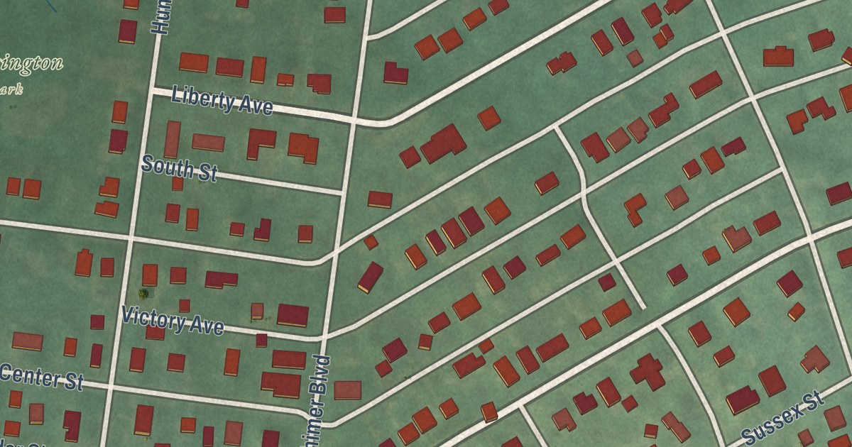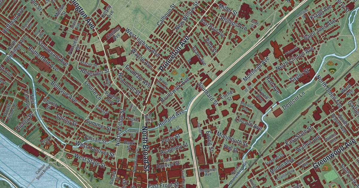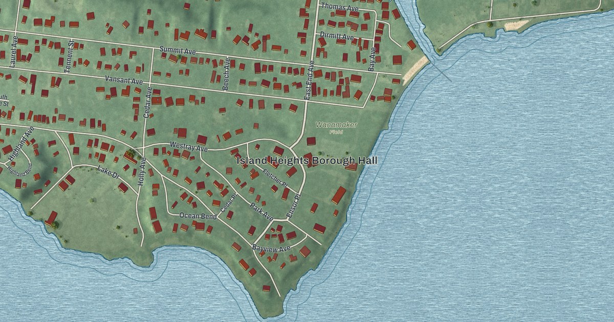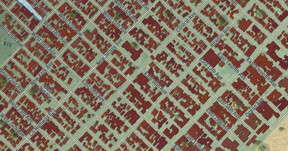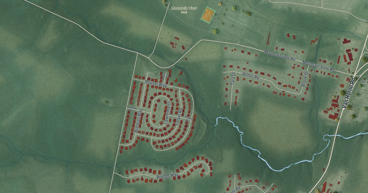
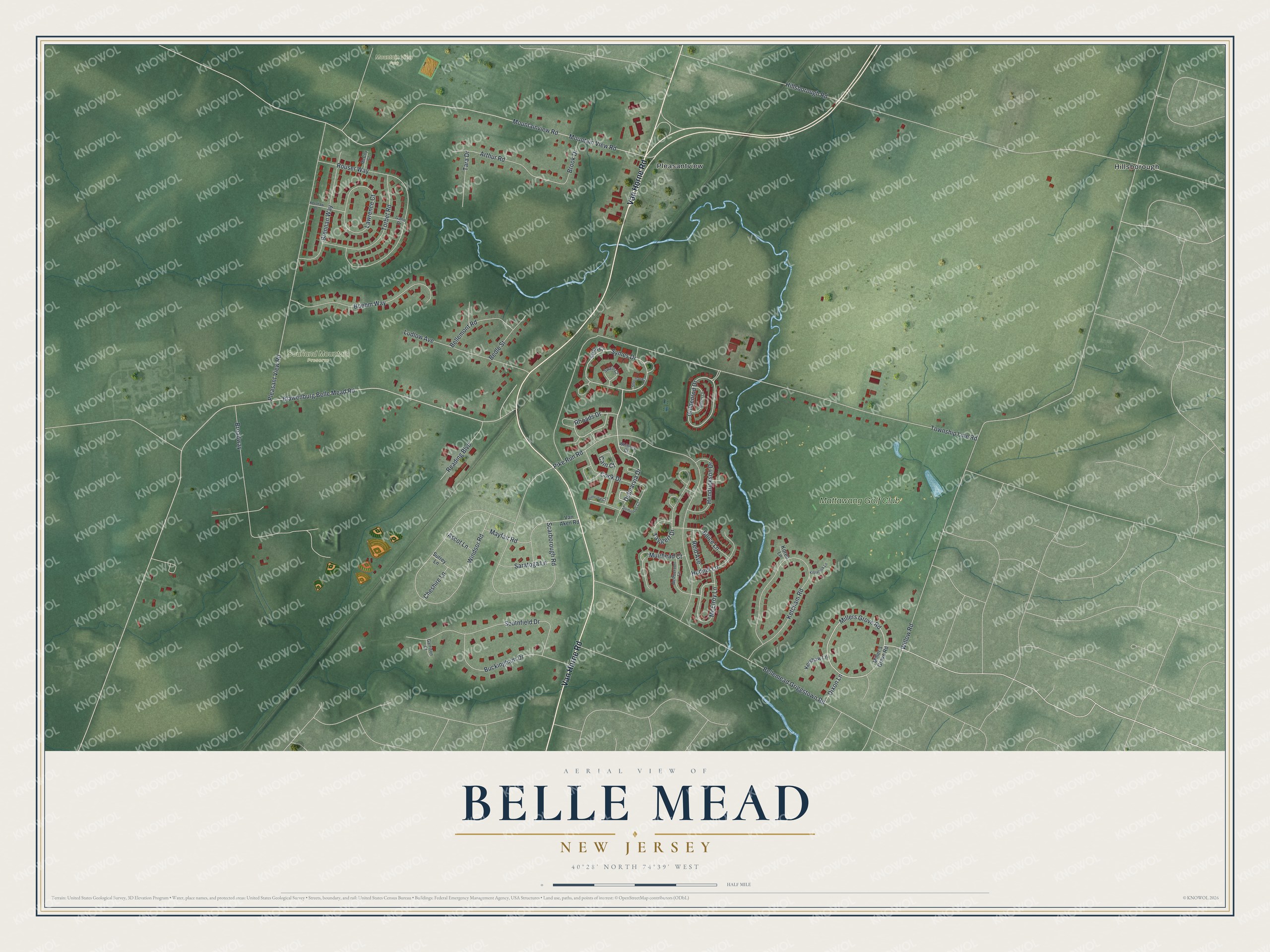
This beautifully detailed map of Belle Mead, New Jersey was created in 2026 using aerial imagery combined with modern topographical, census, street and landmark data. It’s a one-of-a-kind view of Belle Mead that combines accurate data with a vintage aesthetic. The map shows every building in its true location, many of the roads carry their names, and the shaded topographic relief shows the shape of the land.
Explore an aerial view of Belle Mead, New Jersey
On the map you’ll find Mountain View Park, Sourland Mountain Preserve, Hillsborough, Pleasantview, and Mattawang Golf Club, along with Van Horne Road, Delmarvia Drive, Symes Drive, Millers Grove Road, Goldenrod Drive, Rhoads Drive, McElroy Lane, and more. If you look closely you can even find your house accurately drawn in its correct location. Zoom in on the preview to look for yours.
Did You Know?
During World War II, the Belle Mead Army Depot was the largest military supply base in the nation. In the early 1940s, the author James Baldwin worked at the depot and lived nearby in Belle Mead. The depot closed in 1991. Part of its land is now a county park.
Take a closer look at the Belle Mead map
Names on this map
These names are printed on this map.
Places: Mountain View Park, Sourland Mountain Preserve, Hillsborough, Pleasantview and Mattawang Golf Club.
Streets and roads: Van Horne Road, Delmarvia Drive, Symes Drive, Millers Grove Road, Goldenrod Drive, Rhoads Drive, McElroy Lane, Willow Road, Township Line Road, Blawenburg Belle Mead Road, Pleasant View Road, Hillsborough Road.
More street names, A to Z
Arthur Road, Ascot Lane, Bedle Street, Bellemead Griggstown Road, Bellemont Road, Boehm Way, Boice Lane, Brennan Way, Broadway, Brook Drive, Buckingham Drive, Cain Court, Cheshire Lane, Cook Drive, Dixon Lane, Dominicus Court, Gano Drive, Garrison Court, Hendrickson Drive, Hudnut Lane, Kershaw Drive, Kershaw Lane, Ketcham Road, Kilpatrick Lane, Koren Lane, Lawrence Court, Ludlow Avenue, Mayfair Road, McCoy Court, McPherson Lane, Miller's Grove Road, Mountain View Road, Mountainview Road, Muirhead Court, Pike Run Road, Primrose Court, Reading Boulevard, Reid Avenue, Rouser Way, Saratoga Lane, Scarborough Road, Scully Court, Sherman Court, Southfield Drive, Surrey Lane, Swain Court, Taggert Drive, Tara Drive, Torbet Road, Van Aken Road, Waters Lane, Whitlock Court, Windsor Road.
See it on a wall
The Belle Mead map as an 18 x 24 inch print in a black frame.

This beautifully detailed map of Belle Mead makes an attractive addition to your office, library, or den, and it can even be used to teach children the geography and history of the area. It also makes a great gift for anyone with Belle Mead roots. When you’re done exploring, click here to get your copy of the Belle Mead map.