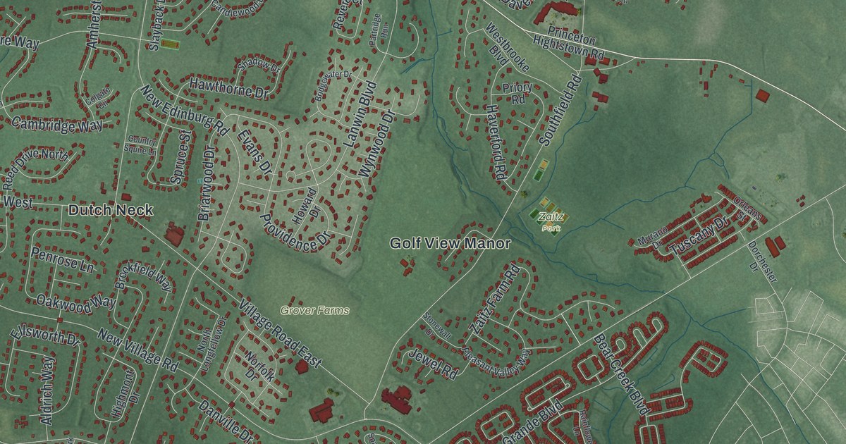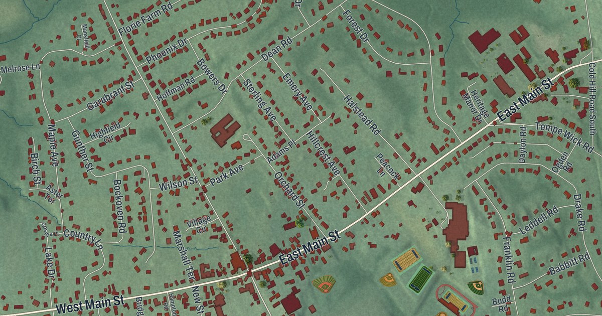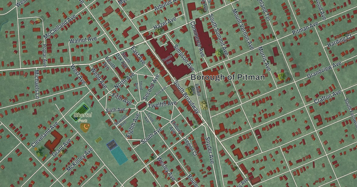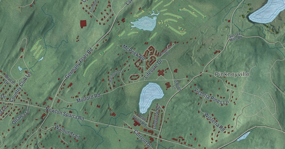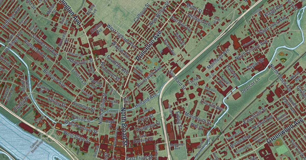
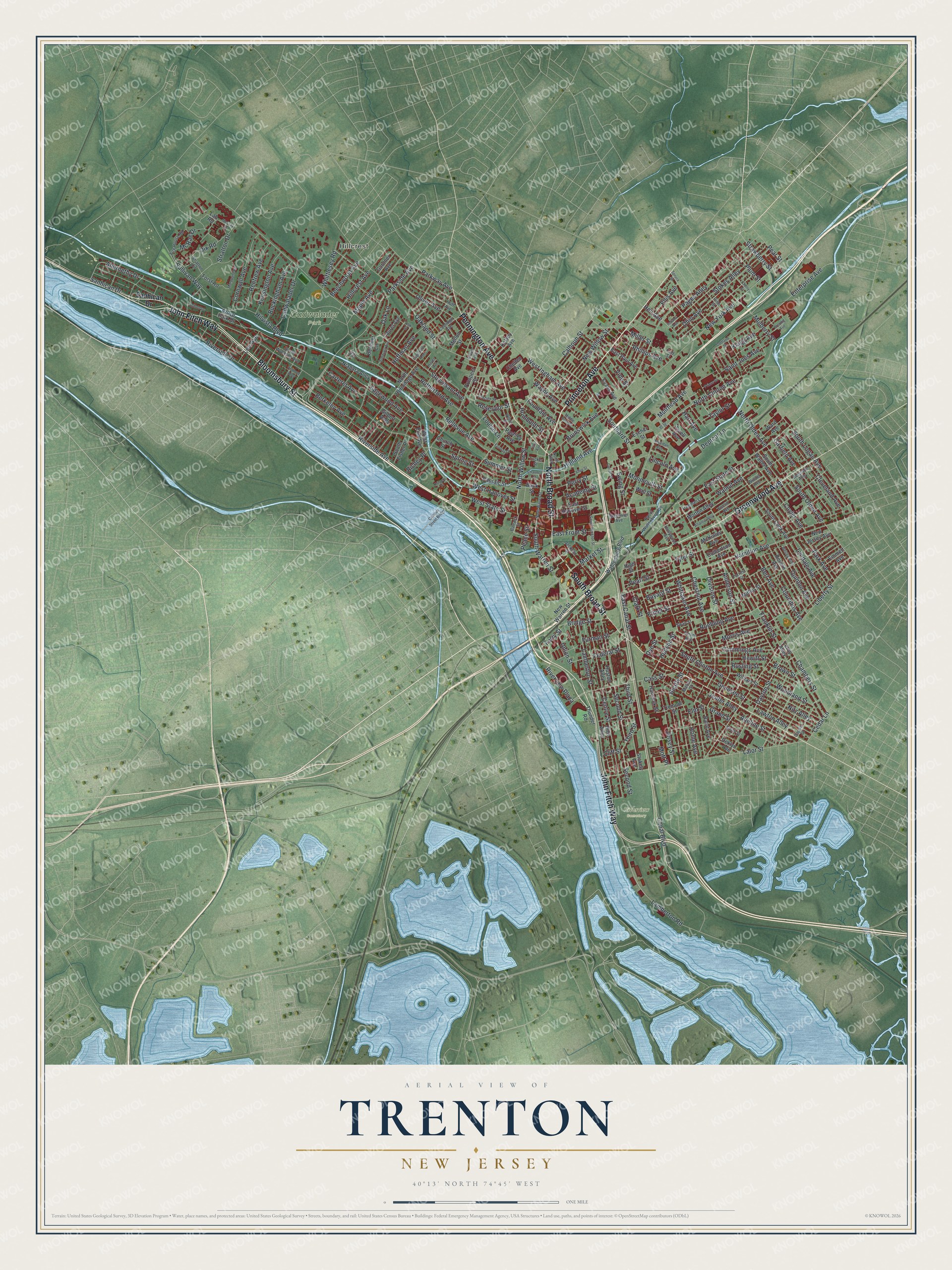
This beautifully detailed map of Trenton, New Jersey was created in 2026 using aerial imagery combined with modern topographical, census, street and landmark data. It’s a one-of-a-kind view of Trenton that combines accurate data with a vintage aesthetic. The map shows every building in its true location, many of the roads carry their names, and the shaded topographic relief shows the shape of the land.
Explore an aerial view of Trenton, New Jersey
On the map you’ll find Hillcrest, Cadwalader Park, and Riverview Cemetery, along with Pennington Avenue, Princeton Avenue, Bloomsbury Street, Broad Street, John Fitch Way, and more. If you look closely you can even find your house accurately drawn in its correct location. Zoom in on the preview to look for yours.
Did You Know?
Quakers led by Mahlon Stacy of England settled at the Falls of the Delaware in 1679. They came seeking religious freedom. William Trent later bought much of the land from the Stacy family. By 1719 the town was called Trent-towne after him, and the name was later shortened to Trenton.
Take a closer look at the Trenton map
Names on this map
These names are printed on this map.
Places: Hillcrest, Cadwalader Park and Riverview Cemetery.
Streets and roads: Pennington Avenue, Princeton Avenue, Bloomsbury Street, North Broad Street, John Fitch Way, South Broad Street, Greenwood Avenue, Parkside Avenue, North Willow Street, Riverview Plaza, Humboldt Street, South Warren Street.
More street names, A to Z
Abernethy Drive, Academy Street, Adeline Street, Alden Avenue, Allen Street, Anderson Street, Atlantic Alley, Bank Street, Barnt Avenue, Barrack Street, Bayard Street, Beatty Street, Beechwood Avenue, Belgrade Alley, Bellevue Avenue, Belmont Circle, Berkeley Avenue, Bert Avenue, Breunig Avenue, Bridge Street, Brown Street, Bruce Park Drive, Brunswick Avenue, Buckingham Avenue, Cadwalader Drive, Calhoun Street, Calhoun Street Bridge, Canal Boulevard, Capner Street, Carroll Street, Carteret Avenue, Cass Street, Cedar Lane, Centre Street, Chambers Street, Chauncy Street, Chelten Avenue, Cherry Street, Chestnut Avenue, Church Street, Clark Street, Cleveland Avenue, Cliff Street, Columbus Avenue, Coolidge Avenue, Cornwall Avenue, Cortland Street, Culbertson Avenue, Cummings Avenue, Cuyler Avenue, Dayton Street, Deklyn Avenue, Deptcor Lane, Division Street, Dix Road, Dye Street, East Canal Street, East Front Street, East Hanover Street, East Paul Avenue, East State Street, Edgemere Avenue, Edgewood Avenue, Ellis Avenue, Elmer Street, Elmhurst Avenue, Elm Street, Emmett Avenue, Emory Avenue, Enterprise Avenue, Escher Street, Euclid Avenue, Evans Avenue, Ewing Street, Fairway Drive, Federal Street, Ferry Street, Fire House Road, Forrest Street, Forst Road, Fountain Avenue, Franklin Street, Frazier Street, Freeman Lane, Fuld Street, Furman Street, Gardner Avenue, Garfield Avenue, Genesee Street, Gilbert Alley, Grand Street, Hamilton Avenue, Hancock Street, Hart Avenue, Hayes Avenue, Heil Avenue, Hewitt Street, High Street, Hillcrest Avenue, Hills Alley, Hilvista Boulevard, Hoffman Avenue, Holland Avenue, Hollywood Avenue, Home Avenue, Hudson Street, Huff Avenue, Huston Alley, Indiana Avenue, Ivy Court, Jackson Street, Jenter Alley, Jersey Street, Kelsey Avenue, Kensington Avenue, Klagg Avenue, Lab Road, Lalor Street, Lamberton Road, Lamberton Street, Laurel Avenue, Lawton Alley, Lee Avenue, Leroy Alley, Liberty Street, Lincoln Avenue, Louise Lane, Lyndale Avenue, Magowan Avenue, Malone Street, Maple Avenue, Market Street, Marquand Road, McCray Drive, McKinley Avenue, McRae Drive, Mellon Street, Middle Rose Street, Mifflin Street, Miller Street, Monmouth Street, Morris Avenue, Morton Alley, Mott Place, Muirhead Avenue, Mulberry Street, New Jersey Avenue, New Warren Street, New Willow Street, New York Avenue, Niagara Alley, Nitz Alley, North Alley, North Clinton Avenue, North Hermitage Avenue, North Olden Avenue, North Warren Street, Oakland Street, Oak Lane, Ohio Avenue, Oliver Avenue, Ott Street, Pages Alley, Park Avenue, Parkway Avenue, Pashley Avenue, Passaic Street, Peace Street, Pearl Street, Pear Street, Perry Street, Phillips Avenue, Pine Street, Plum Street, Prince Street, Prospect Street, Quinton Avenue, Raoul Wallenberg Avenue, Renfrew Avenue, Reservior Street, Revere Avenue, Richey Place, Riverside Avenue, Riverside Drive, Roebling Avenue, Rusling Street, Rutgers Place, Rutherford Avenue, Saint Joes Avenue, Sanhican Drive, School Lane, Second Street, Sheridan Avenue, Smith Street, Southard Street, South Clinton Avenue, South Cook Avenue, South Fisher Place, South Logan Avenue, South Olden Avenue, South Stockton Street, South Walter Avenue, South Wyoming Avenue, Spring Street, Spruce Street, Stokely Avenue, Stokes Alley, Stratton Circle, Stratton Drive, Strawberry Street, Stuyvesant Avenue, Sullivan Way, Summer Street, Swan Street, Taylor Street, Third Street, Thunder Road, Titus Avenue, Tremont Street, Tucker Street, Tyler Street, Tyrell Avenue, Union Street, Vermont Alley, Vine Street, Volk Street, Wahlenberg Boulevard, Wall Street, Walnut Avenue, Ward Avenue, Wayne Avenue, Wesley Alley, West End Avenue, West Hanover Street, West Ingham Avenue, West State Street, Whittaker Avenue, Whittlesey Road, William Street, Wilson Street, Winder Avenue, Woodland Street.
See it on a wall
The Trenton map as an 18 x 24 inch print in a black frame.

This beautifully detailed map of Trenton makes an attractive addition to your office, library, or den, and it can even be used to teach children the geography and history of the area. It also makes a great gift for anyone with Trenton roots. When you’re done exploring, click here to get your copy of the Trenton map.