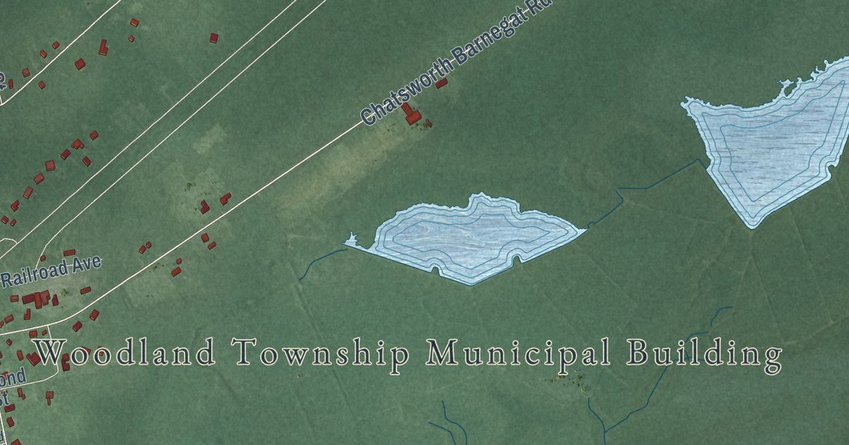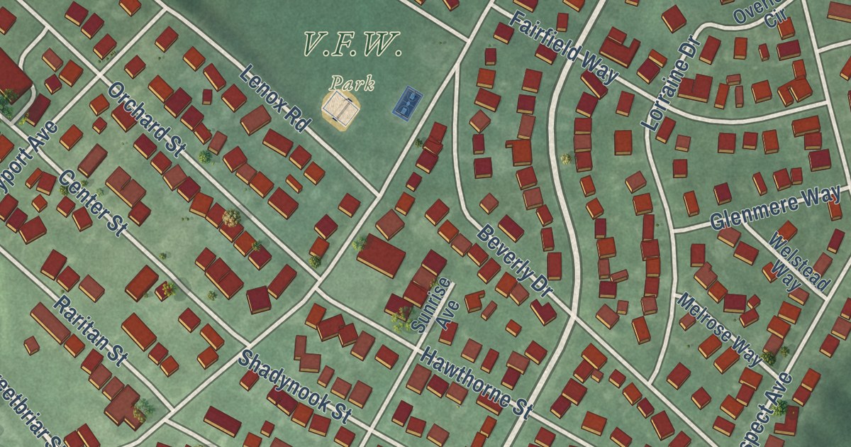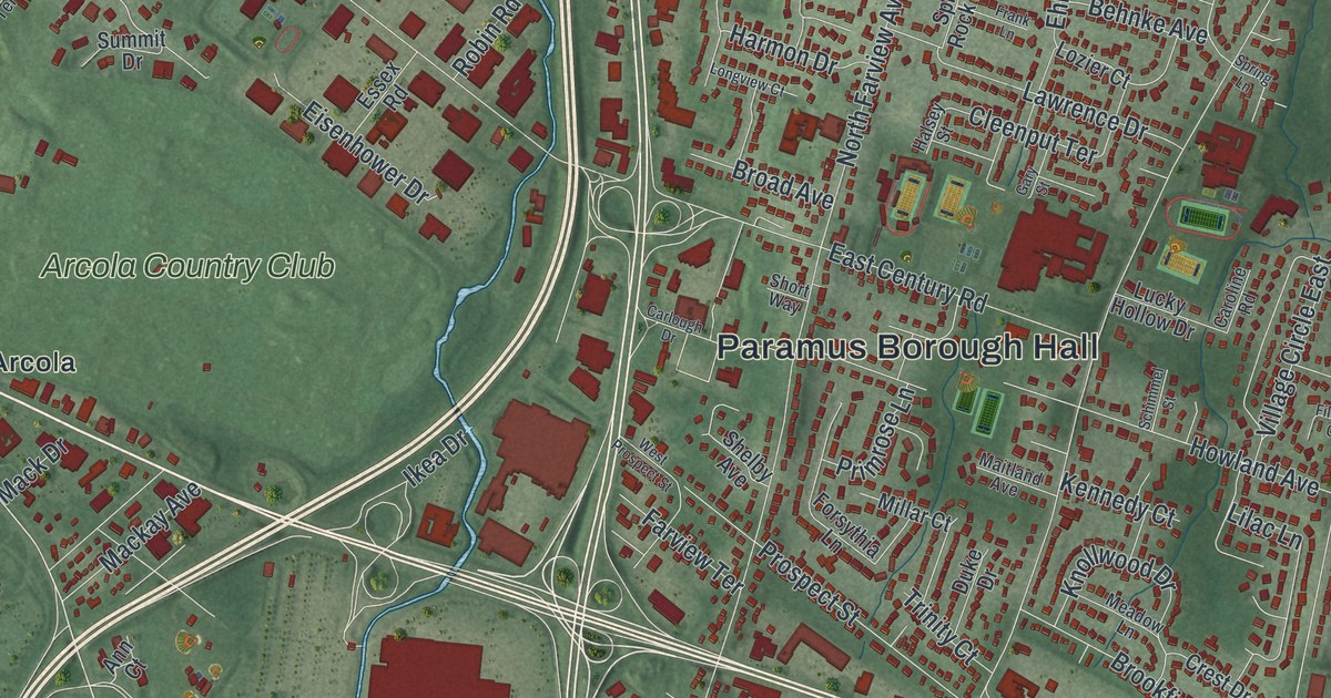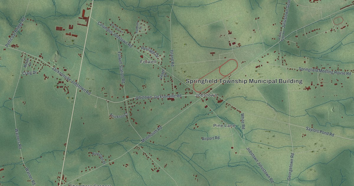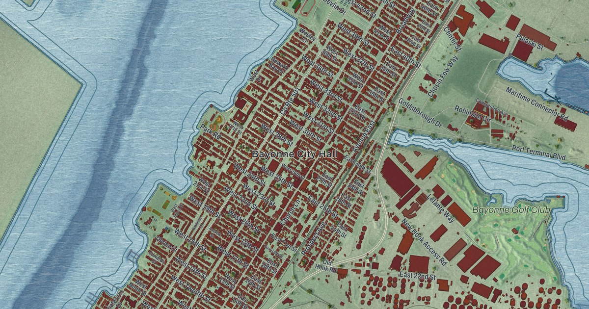
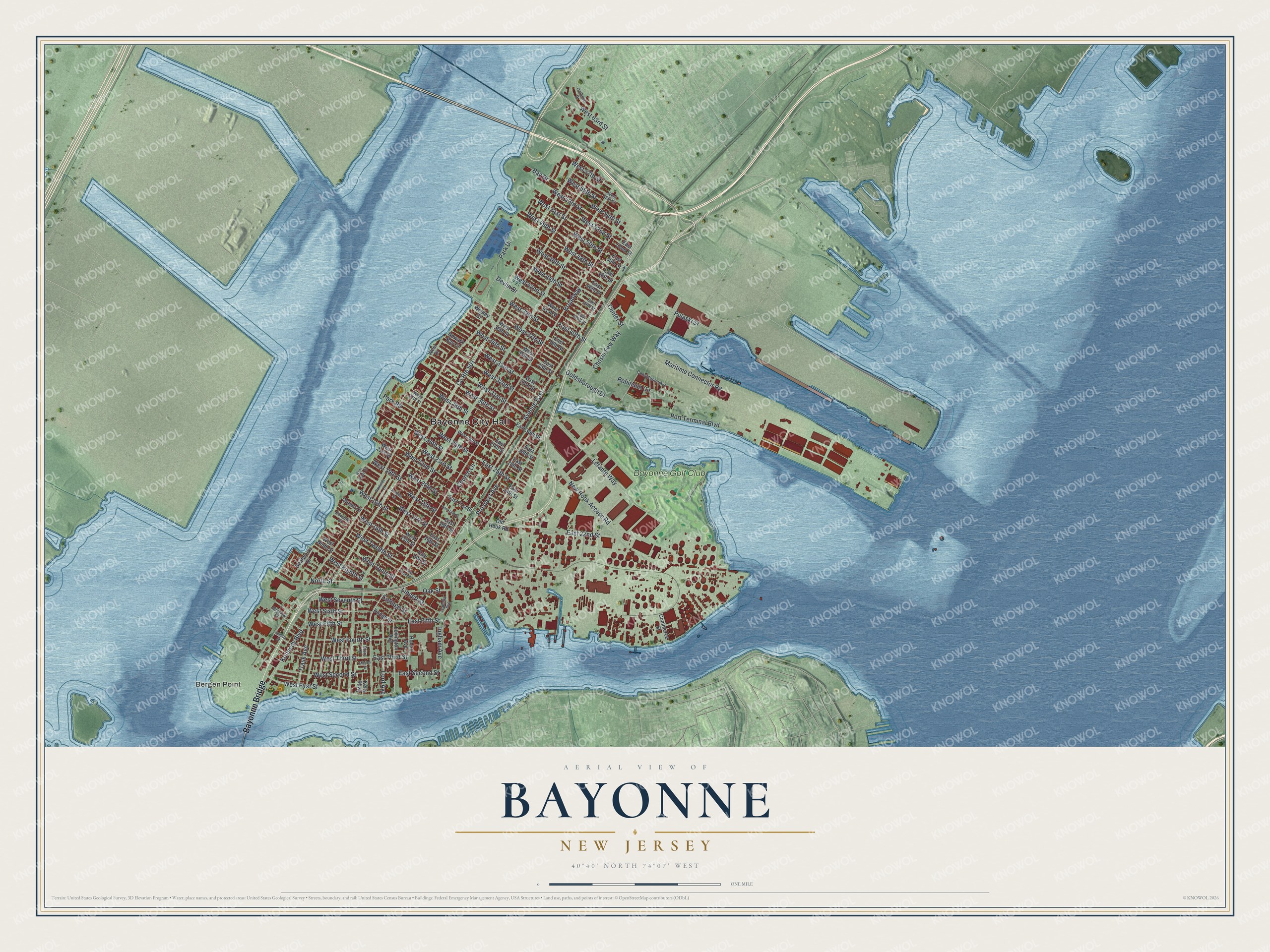
This beautifully detailed map of Bayonne, New Jersey was created in 2026 using aerial imagery combined with modern topographical, census, street and landmark data. It’s a one-of-a-kind view of Bayonne that combines accurate data with a vintage aesthetic. The map shows every building in its true location, many of the roads carry their names, and the shaded topographic relief shows the shape of the land.
Explore an aerial view of Bayonne, New Jersey
On the map you’ll find Bayonne City Hall, Bergen Point, Bayonne Golf Club, Bayonne Bridge, and Broadway, along with Avenue East, West Eighth Street, West First Street, West 50th Street, Lefante Way, Prospect Avenue, West Third Street, and more. If you look closely you can even find your house accurately drawn in its correct location. Zoom in on the preview to look for yours.
Did You Know?
The Bayonne Bridge opened in 1931 as the longest steel arch span in the world. It crossed the Kill Van Kull and gave the city its first physical link to New York. It held that title for over 45 years. Between 2013 and 2019, workers rebuilt the bridge and lifted its span so larger Panamax ships could pass.
Take a closer look at the Bayonne map
Names on this map
These names are printed on this map.
Places: Bayonne City Hall, Bergen Point and Bayonne Golf Club.
Streets and roads: Bayonne Bridge, County Route 501, Avenue East, West Eighth Street, Broadway, West First Street, West 50th Street, Lefante Way, Prospect Avenue, West Third Street, West 30th Street, East Third Street.
More street names, A to Z
Andrew Street, Bay Drive, Bayview Court, Boatworks Drive, Center Street, Chosin Few Way, Church Lane, Colonial Drive, Commerce Street, Constitution Avenue, Cottage Street, Devlin Drive, Dodge Street, East 14th Street, East 16th Street, East 18th Street, East 19th Street, East 21st Street, East 22nd Street, East 24th Street, East 25th Street, East 26th Street, East 27th Street, East 28th Street, East 30th Street, East 33rd Street, East 35th Street, East 38th Street, East 40th Street, East 42nd Street, East 44th Street, East 46th Street, East 48th Street, East 50th Street, East 52nd Street, East Eleventh Street, East Fifth Street, East Second Street, Edwards Court, Goldsborough Drive, Hobart Avenue, Ingham Avenue, Isabella Avenue, Juliette Street, Kelly Parkway, Kennedy Boulevard, Lexington Avenue, Linnett Street, Lord Avenue, Marion Court, Maritime Connector Road, Newark Bay Court, New Hook Access Road, North Street, Oak Street, Obrien Court, Old Hook Road, Park Drive, Park Road, Parkside Lane, Port Terminal Boulevard, Pulaski Street, Robinson Circle, Story Court, Trask Avenue, Wesley Court, West 14th Street, West 15th Street, West 16th Street, West 17th Street, West 18th Street, West 19th Street, West 20th Street, West 21st Street, West 22nd Street, West 23rd Street, West 24th Street, West 25th Street, West 26th Street, West 27th Street, West 28th Street, West 31st Street, West 32nd Street, West 33rd Street, West 34th Street, West 35th Street, West 36th Street, West 37th Street, West 39th Street, West 41st Street, West 42nd Street, West 44th Street, West 46th Street, West 48th Street, West 49th Street, West 51st Street, West 52nd Street, West 53rd Street, West 54th Street, West 55th Street, West 56th Street, West 57th Street, West 63rd Street, West Drive, West Fifth Street, West Fourth Street, West Ninth Street, West Second Street, West Seventh Street, West Shore Drive, West Sixth Street, West Tenth Street, West Twelfth Street.
See it on a wall
The Bayonne map as an 18 x 24 inch print in a black frame.

This beautifully detailed map of Bayonne makes an attractive addition to your office, library, or den, and it can even be used to teach children the geography and history of the area. It also makes a great gift for someone who left Bayonne and still calls it home. When you’re done exploring, click here to get your copy of the Bayonne map.