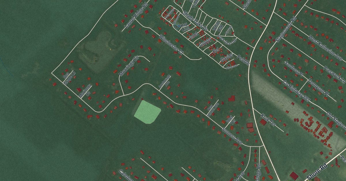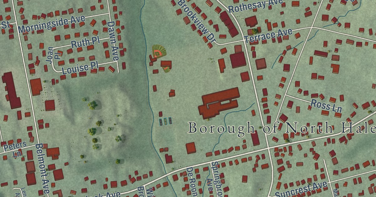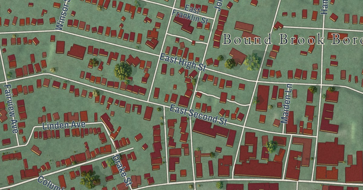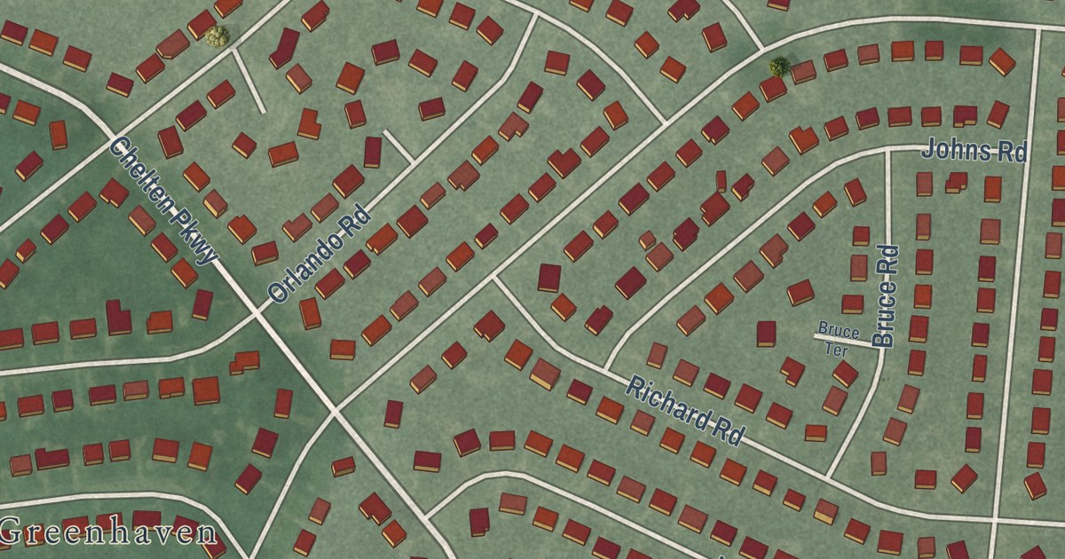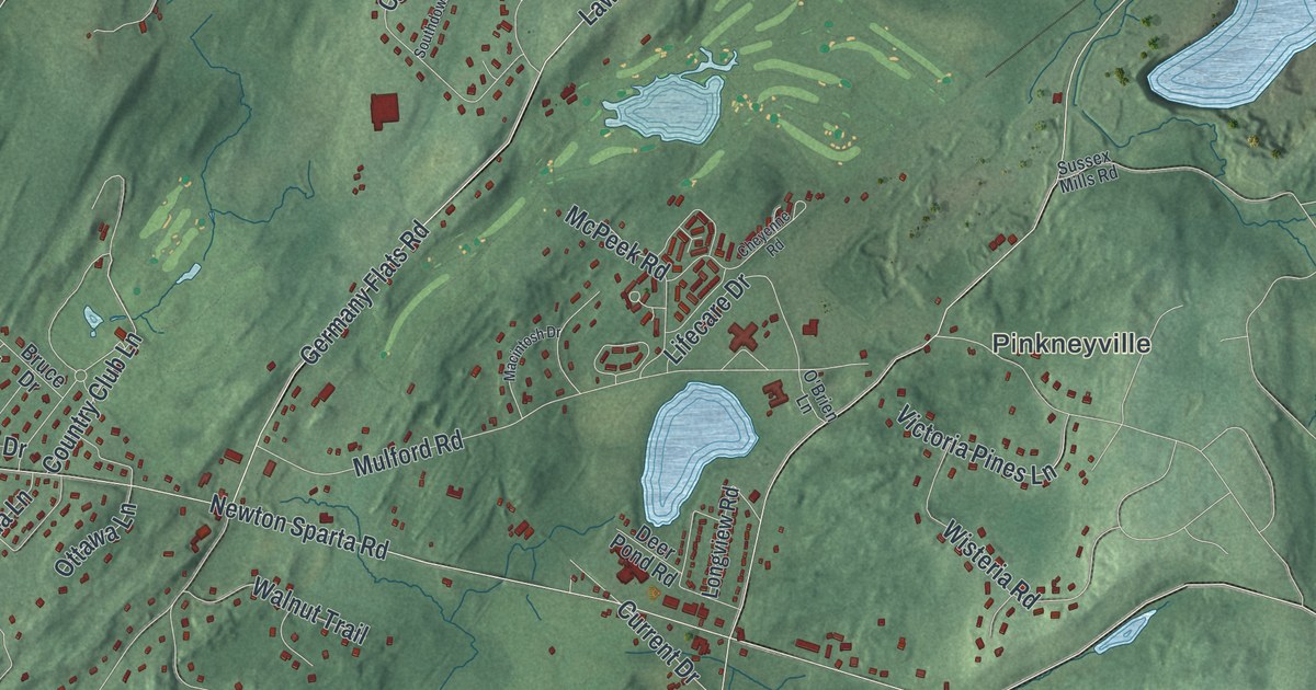
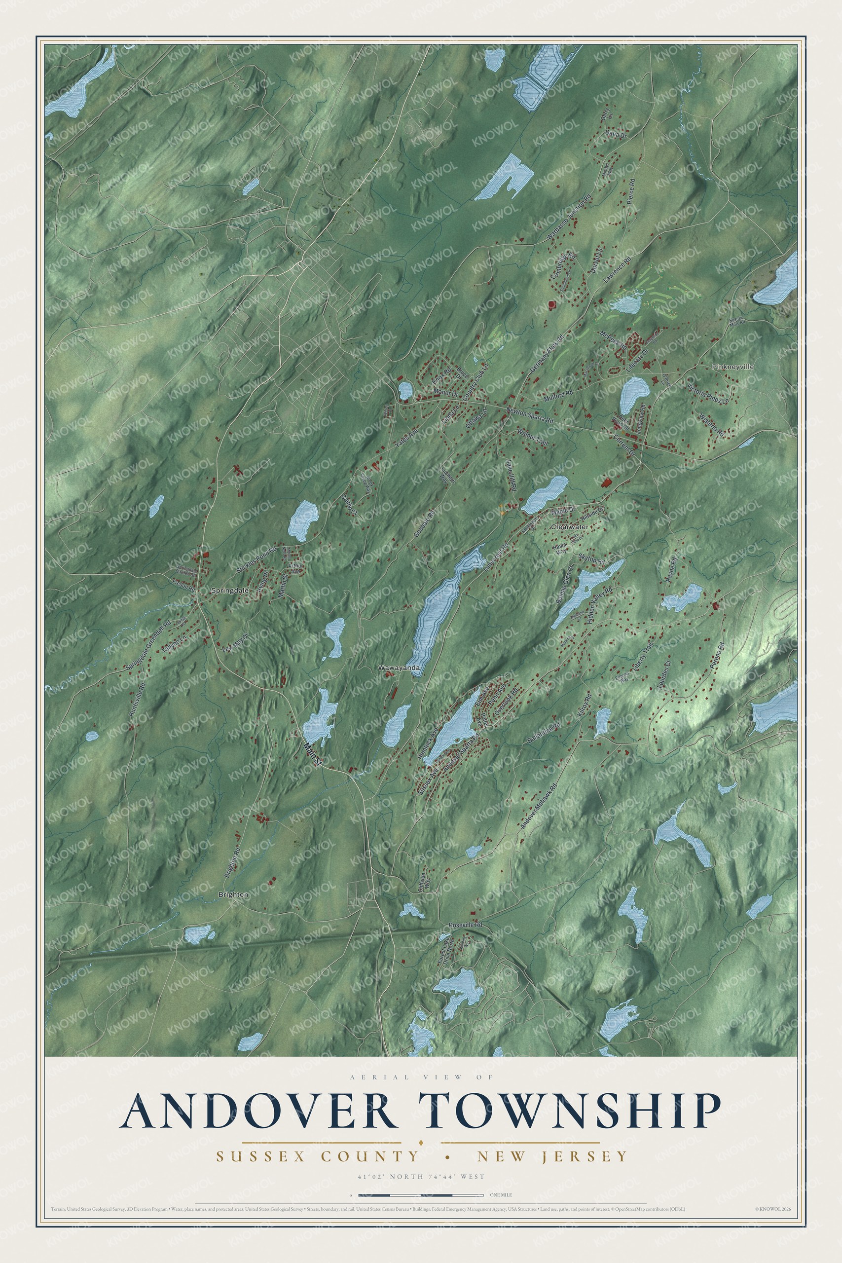
This beautifully detailed map of Andover, Sussex County, New Jersey was created in 2026 using aerial imagery combined with modern topographical, census, street and landmark data. It’s a one-of-a-kind view of Andover that combines accurate data with a vintage aesthetic. The map shows every building in its true location, many of the roads carry their names, and the shaded topographic relief shows the shape of the land.
Explore an aerial view of Andover, Sussex County, New Jersey
On the map you’ll find Pinkneyville, Brighton, Clearwater, Springdale, and Wawayanda, along with Main Street, Skytop Road, Current Drive, Limecrest Road, Andover Sparta Road, Newton Sparta Road, Goodale Road, and more. If you look closely you can even find your house accurately drawn in its correct location. Zoom in on the preview to look for yours.
Did You Know?
Andover became a borough in 1904, when the state legislature carved it out of the older township of the same name. Its name traces back through the township to Andover in Hampshire, England. The town once had a forge and furnace, and its Iron Master’s Mansion was part of those works.
Take a closer look at the Andover, Sussex County map
Names on this map
These names are printed on this map.
Places: Pinkneyville, Brighton, Wawayanda, Clearwater and Springdale.
Streets and roads: Main Street, Andover Sparta Road, Current Drive, Limecrest Road, Newton Sparta Road, Goodale Road, Andover Mohawk Road, Stickles Pond Road, Germany Flats Road, Lawrence Road, Warbasse Junction Road, Brighton Road.
More street names, A to Z
Arthur Avenue, Ballantine Road, Bonnie Glen Court, Brook Valley Way, Bruce Drive, Caitlin Court, Cambridge Road, Cheyenne Road, Cliffside Way, Country Club Lane, Dana Drive, Deer Pond Road, Dorset Lane, Eileens Way, Elm Avenue, Forest Lake Drive North, Fredon Road, Garry Lane, Hasta Way, Hemlock Avenue, Hidden Valley Road, Highland Court, Hillside Drive, Huntsville Road, Irving Place, Kilroy Road, Knollwood Drive, Knox Road, Lake Iliff Road, Lake View Drive, Lenape Avenue, Lew May Drive, Liberty Trail, Lifecare Drive, Linda Lane, Longview Road, Lourdes Court, Luchetti Way, Macintosh Drive, Manor Drive, Maple Drive, Marlene Lane, Martin Street, McPeek Road, Mindys Way, Mount Nebo Road, Mulford Road, O'Brien Lane, Ottawa Lane, Overlook Road, Payne Road, Penn Avenue, Perona Road, Pierce Road, Potter Avenue, Roseville Road, Skytop Road, Southdown Drive, Springdale Garden Road, Springdale Greendell Road, Sussex Avenue, Sussex Mills Road, Tallyho Lane, Victoria Pines Lane, Walnut Trail, Wilson Place, Winding Way, Wisteria Road, Yates Avenue, Youngs Road.
See it on a wall
The Andover Township, Sussex County map as an 18 x 24 inch print in a black frame.

This beautifully detailed map of Andover, Sussex County makes an attractive addition to your office, library, or den, and it can even be used to teach children the geography and history of the area. It also makes a great gift for someone who left Andover and still calls it home. When you’re done exploring, click here to get your copy of the Andover, Sussex County map.