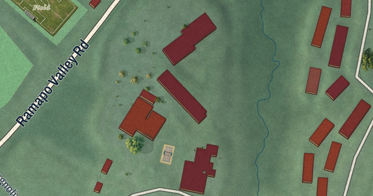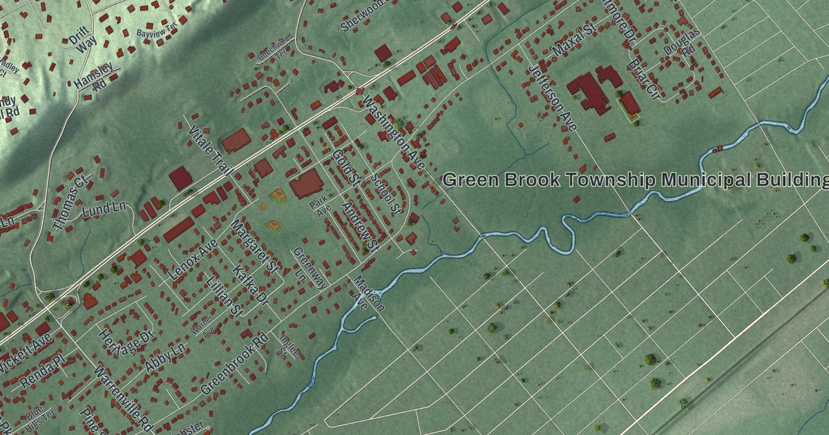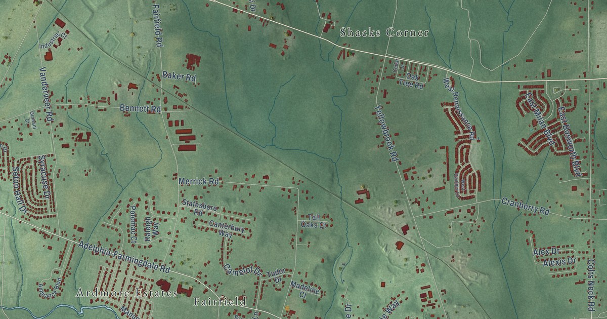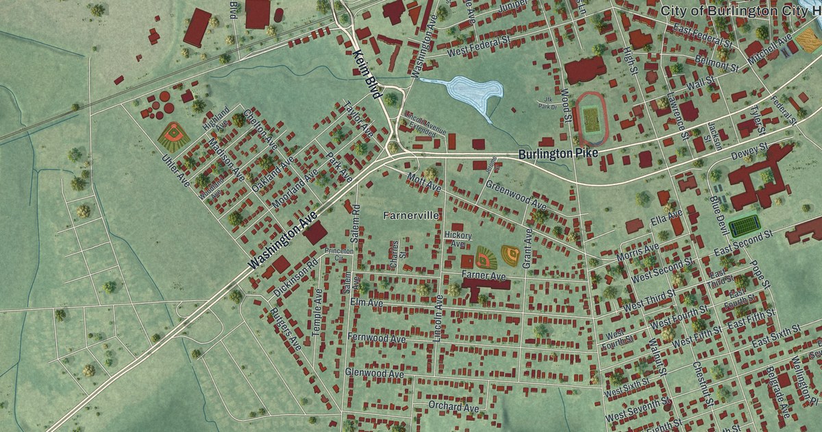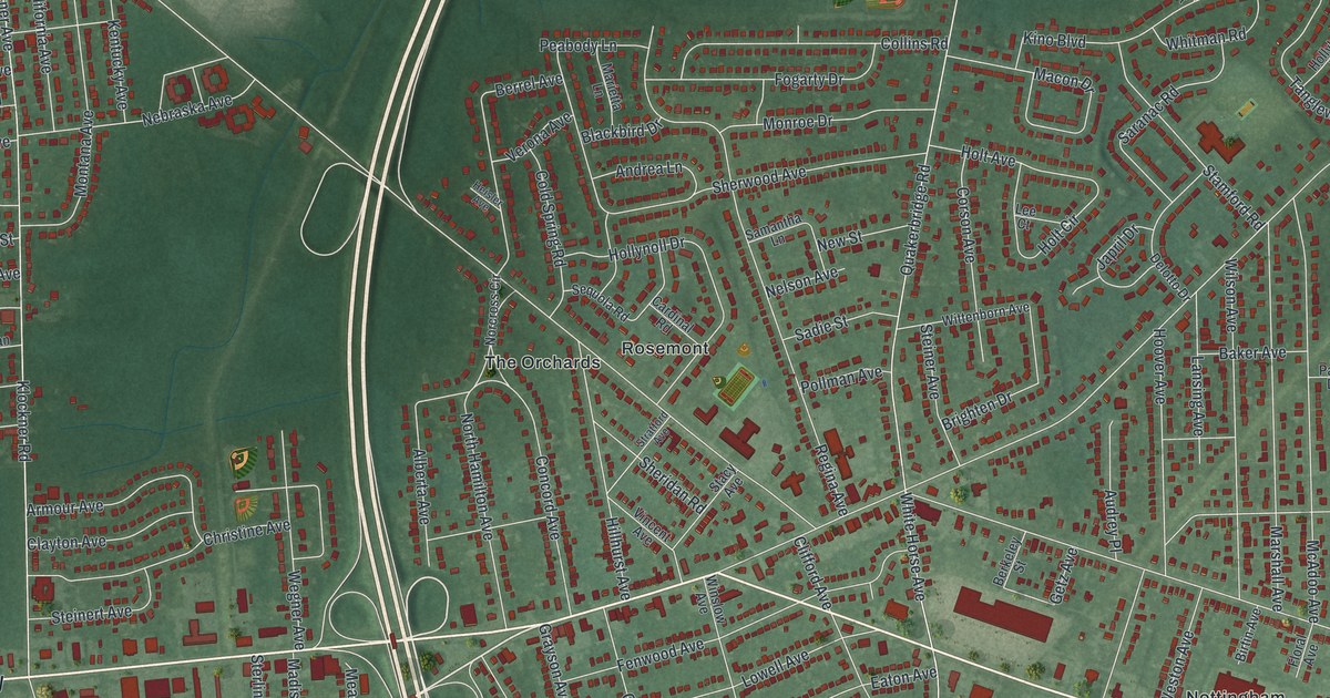
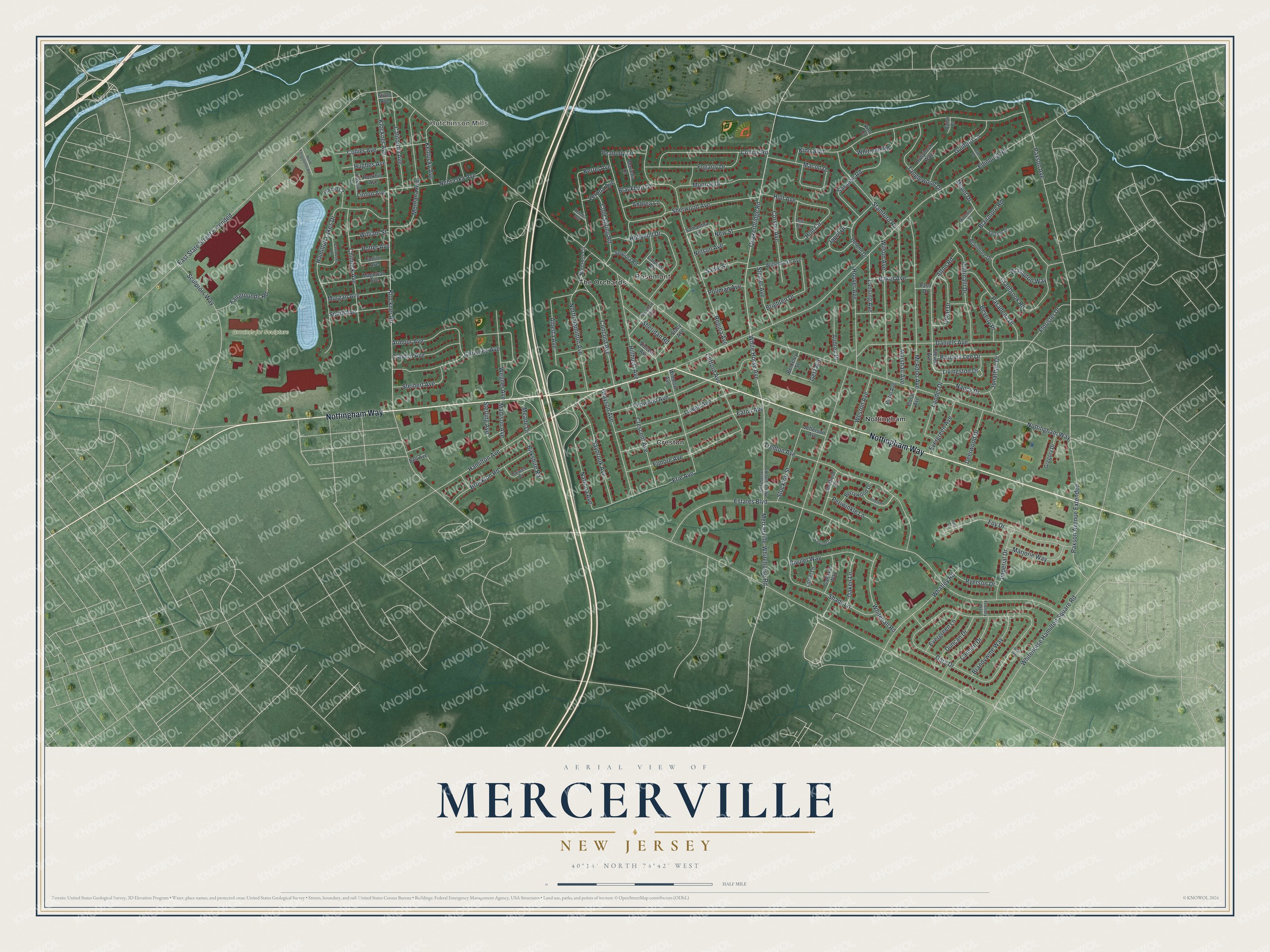
This beautifully detailed map of Mercerville, New Jersey was created in 2026 using aerial imagery combined with modern topographical, census, street and landmark data. It’s a one-of-a-kind view of Mercerville that combines accurate data with a vintage aesthetic. The map shows every building in its true location, many of the roads carry their names, and the shaded topographic relief shows the shape of the land.
Explore an aerial view of Mercerville, New Jersey
On the map you’ll find East State Street Extended, Hutchinson Mills, Creston, Nottingham, Rosemont, and The Orchards, along with Nottingham Way, Trenton Avenue, Hamilton Avenue, Klockner Road, and more. If you look closely you can even find your house accurately drawn in its correct location. Zoom in on the preview to look for yours.
Did You Know?
Mercerville was once known as Sandtown, and later as Five Roads. Its present name honors General Hugh Mercer. He was fatally wounded in the Battle of Princeton. That’s from the 1939 WPA guide to New Jersey.
Take a closer look at the Mercerville map
Names on this map
These names are printed on this map.
Places: Hutchinson Mills, Grounds for Sculpture, Creston, Nottingham, Rosemont and The Orchards.
Streets and roads: Nottingham Way, Trenton Avenue, Hamilton Avenue, Klockner Road, East State Street Extended, Estates Boulevard, Edinburg Road, Klockner Avenue, Shady Lane, Gary Drive, Mercerville-Whitehorse Road, White Horse Avenue.
More street names, A to Z
Alberta Avenue, Alton Road, Andrea Lane, Armour Avenue, Audrey Place, Baker Avenue, Barbara Lee Drive, Bell Avenue, Berkeley Street, Berrel Avenue, Berrywood Drive, Beverly Place, Birkshire Road, Birtin Avenue, Blackbird Drive, Blairmore Drive, Blairmore Road, Bow Road, Brampton Way, Brandywine Way, Brighten Drive, Brockton Road, Cairn Court, California Avenue, Cannon Drive, Cardinal Road, Carrousel Lane, Chinnick Avenue, Christine Avenue, Clayton Avenue, Clifford Avenue, Cold Spring Road, Collier Avenue, Collins Road, Concord Avenue, Coral Drive, Coronet Court, Corson Avenue, Cranbrook Road, Crescent Avenue, Daniels Avenue, Deerwood Drive, Delotto Drive, Dube Road, Duncan Drive, Eaton Avenue, Elmore Avenue, Erie Avenue, Evergreen Avenue, Evergreen Lane, Fairgrounds Road, Fenwood Avenue, Floral Avenue, Florister Drive, Fogarty Drive, Foy Drive, Friendly Way, Gallavan Way, Getz Avenue, Grayson Avenue, Gregory Drive, Guilford Lane, Hamid Court, Hamilton Lakes Drive, Harwick Drive, Heisler Avenue, Hillhurst Avenue, Hollyhock Way, Hollynoll Drive, Holt Avenue, Holt Circle, Hoover Avenue, Hughes Avenue, Imperial Drive, Japril Drive, Jefferson Avenue, Jonathan Drive, Junior Avenue, Kentucky Avenue, Kino Boulevard, Kino Court, Lander Drive, Lansing Avenue, Lee Court, Linton Avenue, Lionel Lane, Livingston Drive, Lowell Avenue, Macon Drive, Madison Avenue, Magowan Avenue, Marietta Lane, Marjorie Way, Marshall Avenue, McAdoo Avenue, Meade Drive, Millenium Court, Monroe Drive, Montana Avenue, Morgan Avenue, Mount Drive, Nancy Drive, Natrona Avenue, Nebraska Avenue, Nelson Avenue, New Street, Norcross Circle, North Fairgrounds Road, North Hamilton Avenue, Oaken Lane, Pasadena Drive, Paso Drive, Paul Drive, Paxson Avenue, Paxson Avenue Extended, Peabody Lane, Periwinkle Lane, Pescia Lane, Pintinalli Drive, Pollman Avenue, Potter Avenue, Quakerbridge Road, Regina Avenue, Rivulet Way, Rockhill Avenue, Ryerson Drive, Sadie Street, Salzano Drive, Samantha Lane, Saranac Road, Saybrook Avenue, Sculptors Way, Sequola Road, Sheffield Road, Sheridan Road, Sherwood Avenue, Smith Avenue, Stacy Avenue, Stamford Road, Steiner Avenue, Steinert Avenue, Sterling Avenue, Steven Avenue, Stockton Street, Stratford Avenue, Stults Avenue, Tanglewood Drive, Treelawn Terrace, Verona Avenue, Vincent Avenue, Wegner Avenue, Weston Avenue, Whatley Road, Whitehall Road, Whitehorse Hamilton Square Road, Whitehorse Mercerville Road, Whitman Road, William Street, Wilson Avenue, Winslow Avenue, Wittenborn Avenue.
See it on a wall
The Mercerville map as an 18 x 24 inch print in a black frame.

This beautifully detailed map of Mercerville makes an attractive addition to your office, library, or den, and it can even be used to teach children the geography and history of the area. It also makes a great gift for anyone who grew up in Mercerville or moved away. When you’re done exploring, click here to get your copy of the Mercerville map.