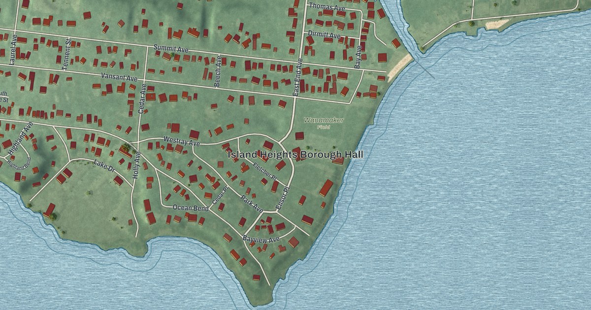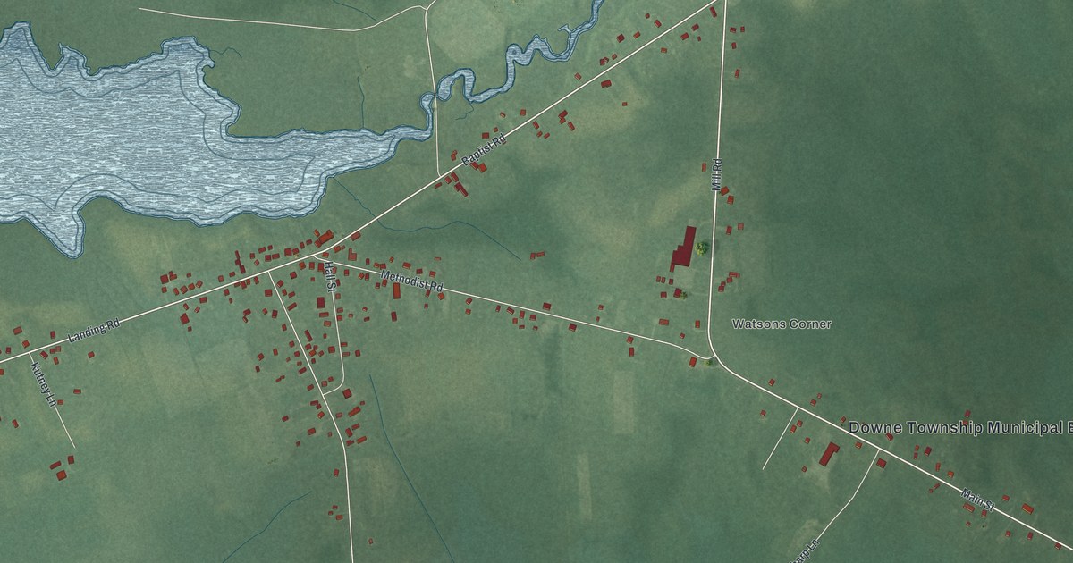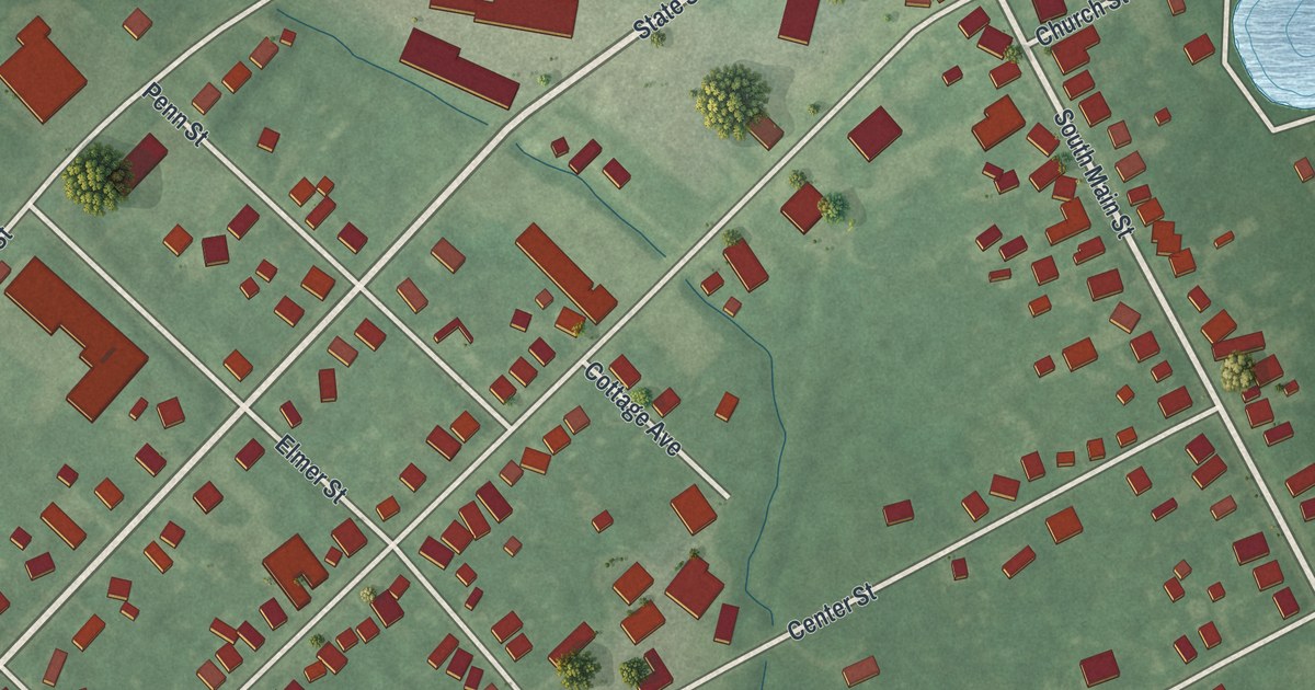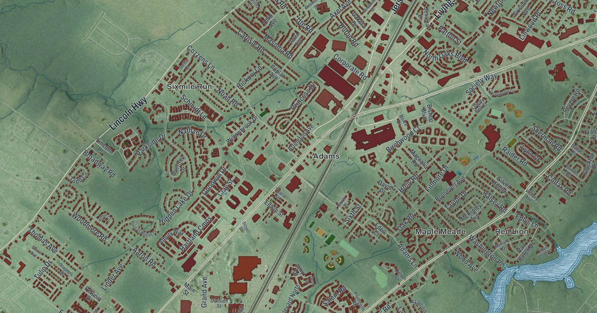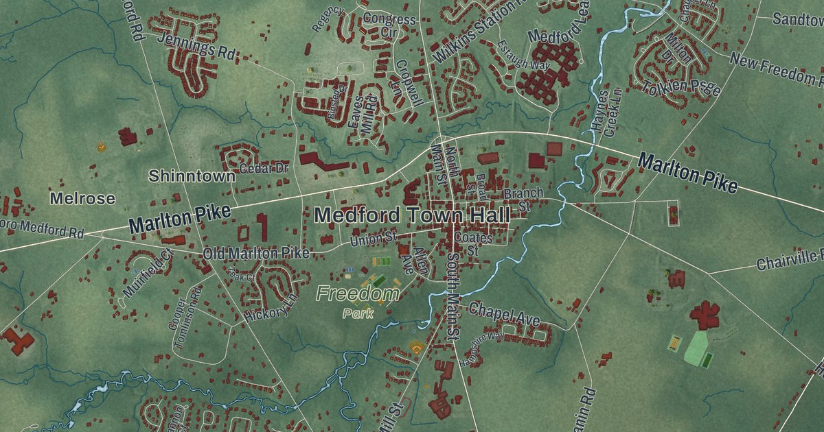
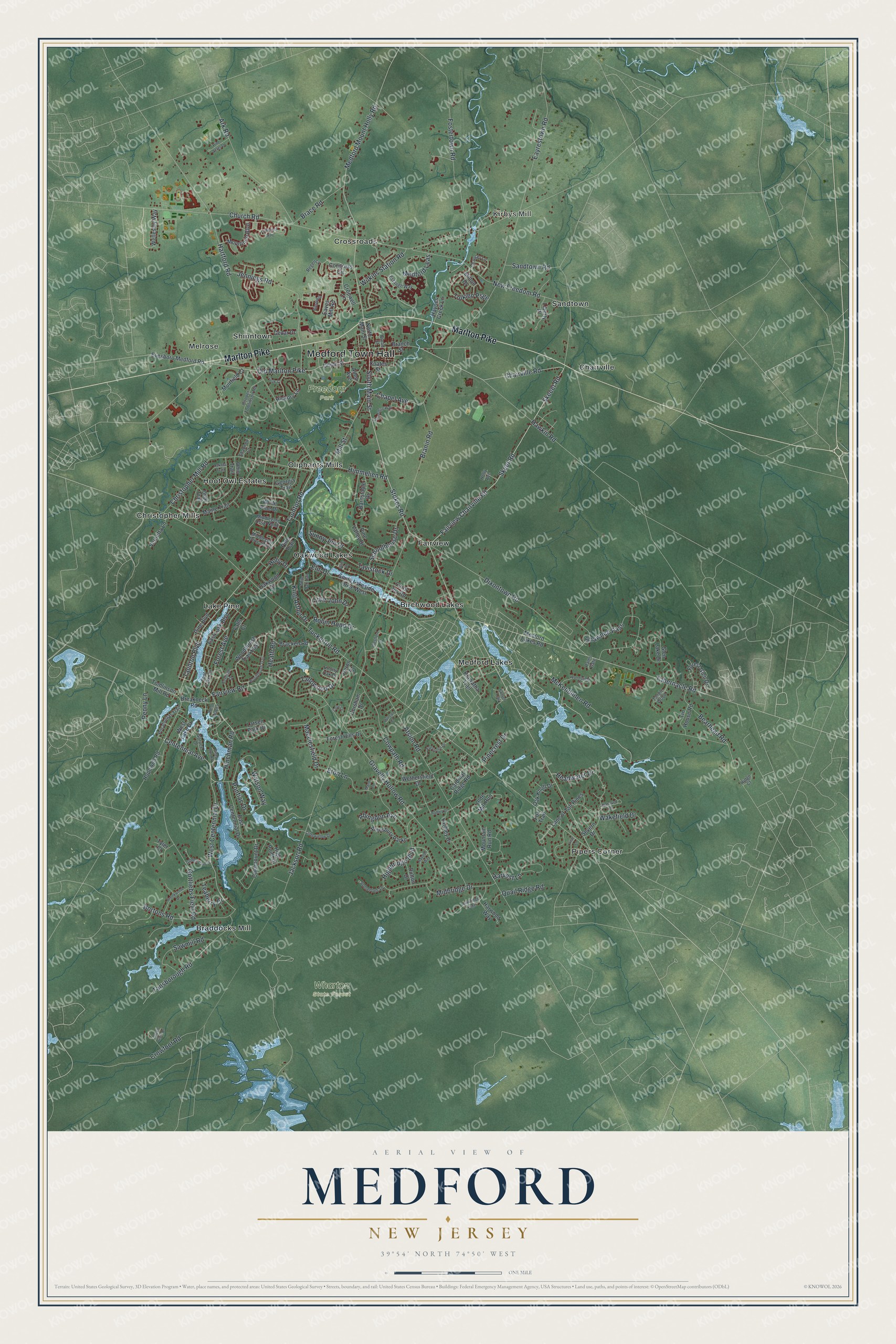
This beautifully detailed map of Medford, New Jersey was created in 2026 using aerial imagery combined with modern topographical, census, street and landmark data. It’s a one-of-a-kind view of Medford that combines accurate data with a vintage aesthetic. The map shows every building in its true location, many of the roads carry their names, and the shaded topographic relief shows the shape of the land.
Explore an aerial view of Medford, New Jersey
On the map you’ll find Medford Town Hall, Kirbys Mill, Birchwood Lakes, Braddocks Mill, Chairville, Christopher Mills, Freedom Park, and Wharton State Forest, along with Marlton Pike, Stokes Road, Fairview Chairville Road, Skeet Road, and more. If you look closely you can even find your house accurately drawn in its correct location. Zoom in on the preview to look for yours.
Did You Know?
Medford was first called Upper Evesham. Developer Mark Reeve had recently visited Medford, Massachusetts, and he proposed the new name. The village took it when its post office was established. European settlement here began in 1670, when Samuel Coles bought 900 acres.
Take a closer look at the Medford map
Names on this map
These names are printed on this map.
Places: Medford Town Hall, Kirbys Mill, Freedom Park, Wharton State Forest, Birchwood Lakes, Braddocks Mill, Chairville, Christopher Mills, Crossroads, Fairview, Hoot Owl Estates, Lake Pine, Medford Lakes, Melrose, Oakwood Lakes, Oliphants Mills, Pipers Corner, Sandtown and Shinntown.
Streets and roads: Marlton Pike, Stokes Road, Fairview Chairville Road, Skeet Road, Chairville Road, Old Marlton Pike, Taunton Boulevard, Taunton Road, Medford Leas, Centennial Avenue, Skeeet Road, South Main Street.
More street names, A to Z
Abingdon Avenue, Allen Avenue, Amesbury Parke, Ark Road, Atsion Road, Barnstable Drive, Baydon Way, Bearhead Road, Binsted Drive, Bortons Road, Brace Road, Bracken Road, Branch Street, Branin Road, Breakneck Road, Broad Street, Brookwood Drive, Cardinal Ridge Road, Carol Joy Road, Catamount Drive, Cedar Drive, Chapel Avenue, Chaucer Lane, Christopher Mill Road, Church Road, Cliffswallow Drive, Coates Street, Congress Circle, Cooper Tomlinson Road, Corsham Drive, Cove Lane, Covenger Drive, Cowpath Road, Cropwell Lane, Crowfoot Road, Dakota Trail, Dixontown Road, Dufton Drive, Duncan Court, East Centennial Drive, East Lake Boulevard, East Lake Circle, Eaves Mill Road, Eayrestown Road, Elm Drive, Estaugh Way, Eton Lane, Evergreen Drive, Evesboro Medford Road, Fairview Road, Falls Court, Forest Avenue, Forest Glen Drive, Forest Hills Drive, Fostertown Road, Fox Trail, Georgia Trail, Glen Lake Drive, Golden Club Drive, Gottliebs Field Road, Gravelly Hollow Road, Green Glen Drive, Hadley Drive, Hampshire Way, Hanover Drive, Hartford Road, Harvest Lane, Harwood Way, Hawkin Road, Haynes Creek Lane, Headwater Drive, Heath Road, Heron Court, Hiawatha Trail, Hickory Lane, Highbridge Boulevard, High Point Drive, Himmelien Road, Hinchman Road, Holly Avenue, Holly Drive, Hopewell Road, Jackson Road, Jennings Road, King Arthur Drive, Knotty Oak Drive, Lane of Tall Pines, Larsen Park Drive, Liberty Place, Lilac Lane, Little John Drive, Liverpool Way, Lowbridge Psge, Macclesfield Drive, Maine Trail, Manor Lane, McKendimen Road, Medford Lakes Road, Medford Mount Holly Road, Midbridge Drive, Middlegate Drive North, Middlegate Drive South, Mill Street, Milton Drive, Moorlinch Boulevard, Mountain Run Road, Muirfield Court, New Freedom Road, North Main Street, Oak Knoll Drive, Oakwood Drive, Ohio Trail, Olde Mill Run, Penny Lane, Pine Acres Drive, Pine Boulevard, Pine Court, Pinecrest Drive, Pine Trail, Pine Valley Drive, Piney Run Road, Pocahontas Trail, Pontiac Drive, Quail Ridge Road, Rams Gate, Regency, Ridge Court, Robin Hood Drive, Sandtown Road, Sawmill Road, Schoolhouse Drive, Severn Drive, Shannon Court, Shawnee Pass, Somerton Square, South Lakeside Drive West, Spruce Drive, Sunny Jim Drive, Sunset Trail, Tabernacle Road, Tallowood Drive, Tangle Wood, Tansborough Road, Tavistock Drive, Teaberry Drive, Teak Court, Tin House Road, Tolkien Psge, Tomlinson Mill Road, Tuckerton Road, Tyler Court, Union Street, Utah Trail, Vernetta Lane, Wakefield Drive, Watson Way, Wellesley Way, West Centennial Drive, Westford Drive, West Lake Drive, West Wyetta, Wethersfield Drive, White Oak Trail, White Pine Drive, Wilkins Station Road, Woodsfield Court, Woodthrush Trail, Woodthrush Trail East, Yardley Drive.
See it on a wall
The Medford map as an 18 x 24 inch print in a black frame.

This beautifully detailed map of Medford makes an attractive addition to your office, library, or den, and it can even be used to teach children the geography and history of the area. It also makes a great gift for anyone who grew up in Medford or moved away. When you’re done exploring, click here to get your copy of the Medford map.