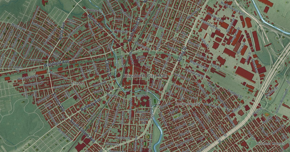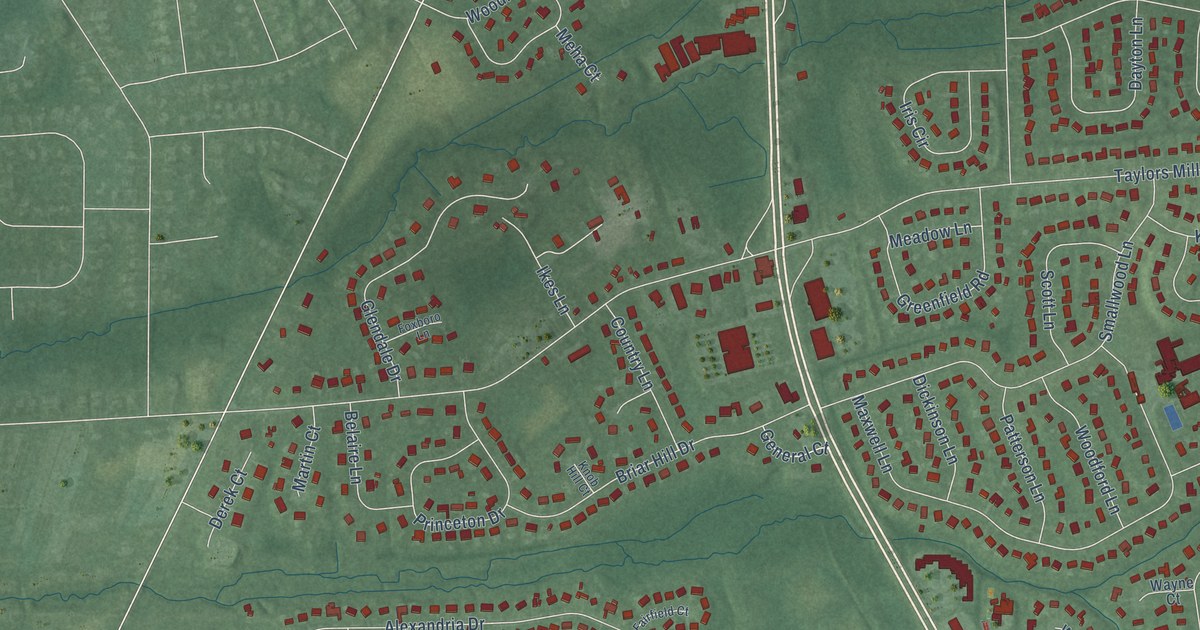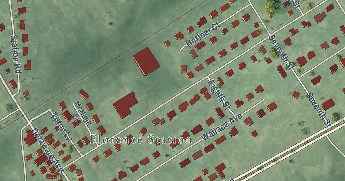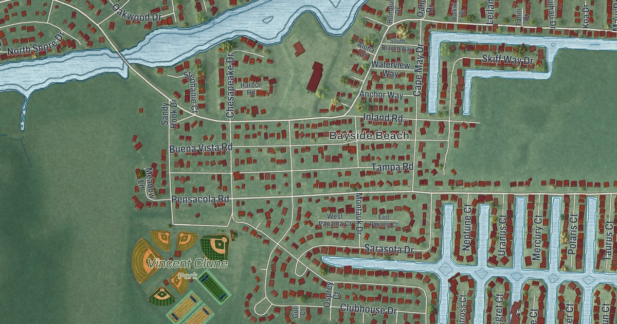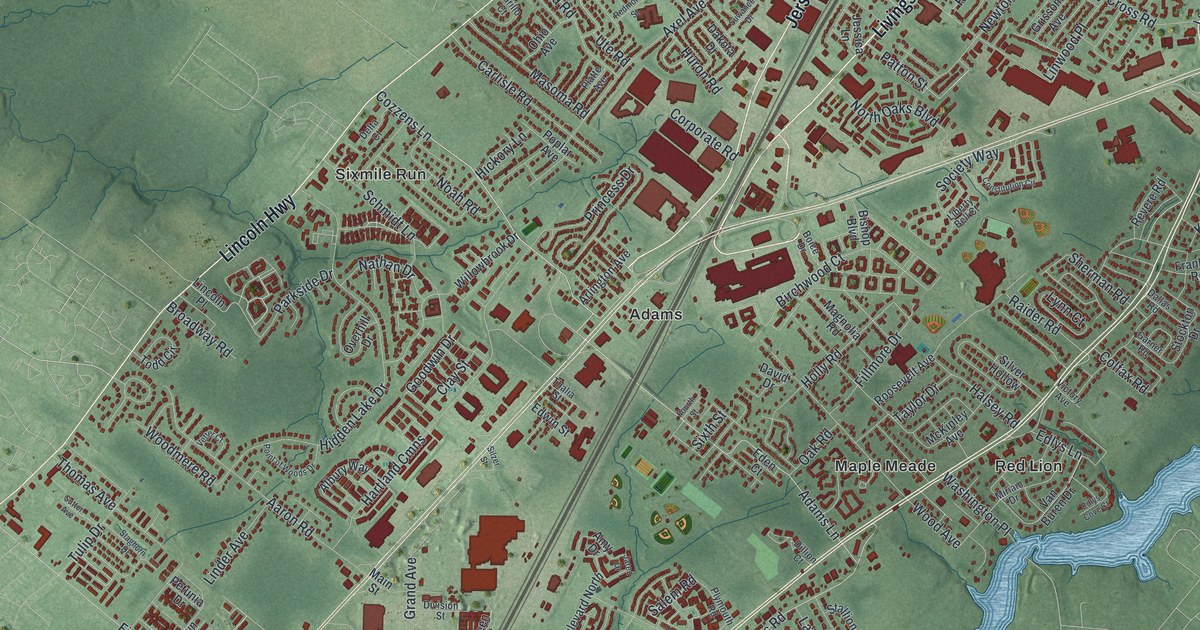
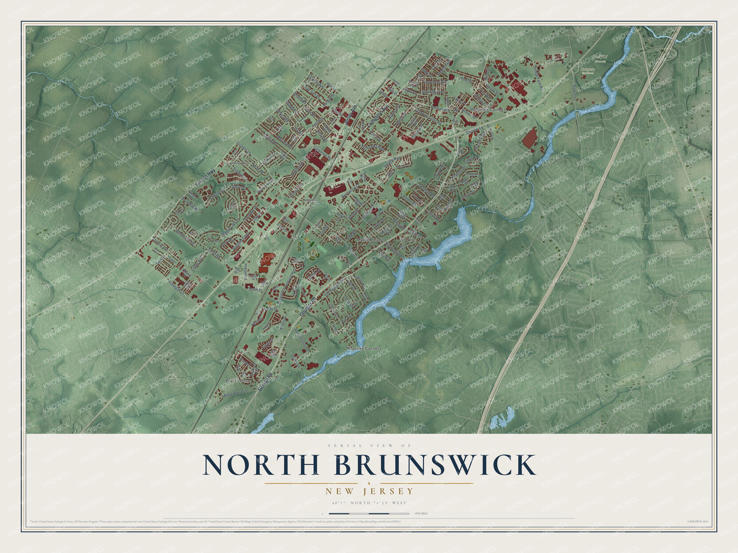
This beautifully detailed map of North Brunswick, New Jersey was created in 2026 using aerial imagery combined with modern topographical, census, street and landmark data. It’s a one-of-a-kind view of North Brunswick that combines accurate data with a vintage aesthetic. The map shows every building in its true location, many of the roads carry their names, and the shaded topographic relief shows the shape of the land.
Explore an aerial view of North Brunswick, New Jersey
On the map you’ll find Adams, Berdines Corners, Black Horse, Maple Meade, Patricks Corners, Elmwood Cemetery, and Rutgers Gardens, along with Jersey Avenue, Georges Road, Lincoln Highway, Livingston Avenue, George Road, and more. If you look closely you can even find your house accurately drawn in its correct location. Zoom in on the preview to look for yours.
Did You Know?
Goalkeeper Tim Howard was born in North Brunswick in 1979. He played 121 games for the United States men’s national team, more than any other keeper. At the 2014 World Cup he set a record for saves in one match, stopping 16 shots against Belgium.
Take a closer look at the North Brunswick map
Names on this map
These names are printed on this map.
Places: Elmwood Cemetery, Helyar Woods, Rutgers Gardens, Adams, Berdines Corners, Black Horse, Maple Meade, Patricks Corners, Red Lion and Sixmile Run.
Streets and roads: Jersey Avenue, Georges Road, Lincoln Highway, Livingston Avenue, George Road, Thomas Avenue, Adams Lane, Cozzens Lane, Finnegan Lane, Old Georges Road, Hidden Lake Drive, Kearney Drive.
More street names, A to Z
14th Street, 16th Street, Aaron Road, Airport Road, Albury Way, Alex Drive, Amy Drive, Apple Orchard Lane, Arlington Avenue, Axel Avenue, Azalea Drive, Bergen Avenue, Beverly Avenue, Birchwood Court, Bishop Boulevard, Black Horse Lane, Boice Drive, Briarwood Drive, Broadway Road, Burns Road, Carlisle Road, Carolier Lane, Church Lane, Clay Street, Cleremont Avenue, Colfax Road, College Farm Road, Constitution Circle, Corporate Road, Cranbury Cross Road, Curtis Place, Cypress Avenue, Dakota Drive, Dallas Road, David Drive, Deerbrook Boulevard, Delta Court, Dickens Road, Dillion Court, Division Street, Eagle Drive, Eden Court, Edlys Cove Court, Edlys Lane, Edwin Street, Fillmore Drive, First Avenue, Forest Lane, Fourth Street, Franklin Road, Garner Road, Glenridge Avenue, Goodwin Drive, Grand Avenue, Green Street, Grissom Avenue, Gwyn Avenue, Halsey Road, Hartland Cmns, Hedges Street, Hermann Road, Hickory Lane, Hillside Drive, Holly Road, Hoover Drive, How Lane, Huron Road, Jared Drive, Jerome Place, Jessica Lane, Lake Drive, La Rose Avenue, Laurel Place, Leary Drive, Lee Avenue, Liberty Bell Court, Lincoln Place, Linder Avenue, Lindsey Drive, Linwood Place, Lisa Place, Lovell Place, Lynn Court, Magnolia Road, Main Street, Maple Avenue, Mare Haven Court, Marigold Street, Masoma Road, McKinley Avenue, Milltown Road, Miriam Drive, Morris Drive, Mount Drive, Nassau Street, Nathan Drive, Newton Street, Noah Road, North Main Street, North Oaks Boulevard, Oak Road, Oak Tree Drive, Ohio Avenue, Omaha Road, Osage Road, Overhill Drive, Parillo Court, Parkside Drive, Patton Street, Perry Drive, Petunia Drive, Pine Street, Platte Avenue, Plymouth Road, Poe Road, Point of Woods Drive, Polk Avenue, Poplar Avenue, Princess Drive, Prospect Avenue, Quarry Lane, Raider Road, Redmond Street, Remsen Avenue, Renaissance Boulevard North, Revere Road, Riverton Street, Roosevelt Avenue, Ryders Lane, Salem Road, Schmidt Lane, Schweitzer Place, Seneca Road, Sherman Road, Silver Hollow, Silzer Street, Sioux Road, Sixth Street, Society Way, South Drive, Staghorn Drive, Stallion Way, Stockton Drive, Sutter Avenue, Suwanee Drive, Tall Oaks Drive, Taylor Drive, Thalia Street, Third Avenue, Timber Ridge Road, Todd Circle, Tulip Drive, Twelfth Street, Ute Road, Van Buren Drive, Vetter Court, Victory Avenue, Washington Place, Willowbrook Drive, Will Way, Wilson Street, Wood Avenue, Woodmere Road.
See it on a wall
The North Brunswick map as an 18 x 24 inch print in a black frame.

This beautifully detailed map of North Brunswick makes an attractive addition to your office, library, or den, and it can even be used to teach children the geography and history of the area. It also makes a great gift for anyone who grew up in North Brunswick or moved away. When you’re done exploring, click here to get your copy of the North Brunswick map.