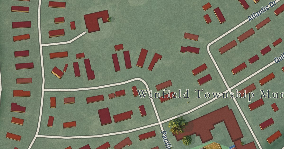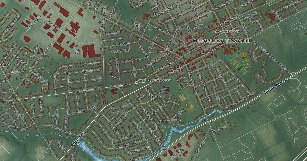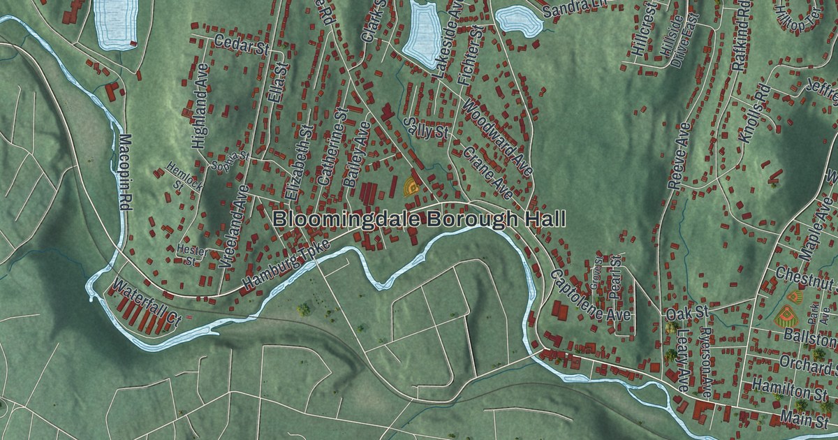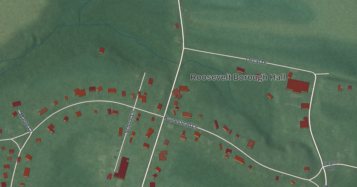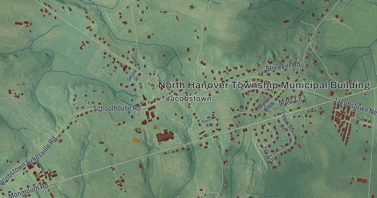
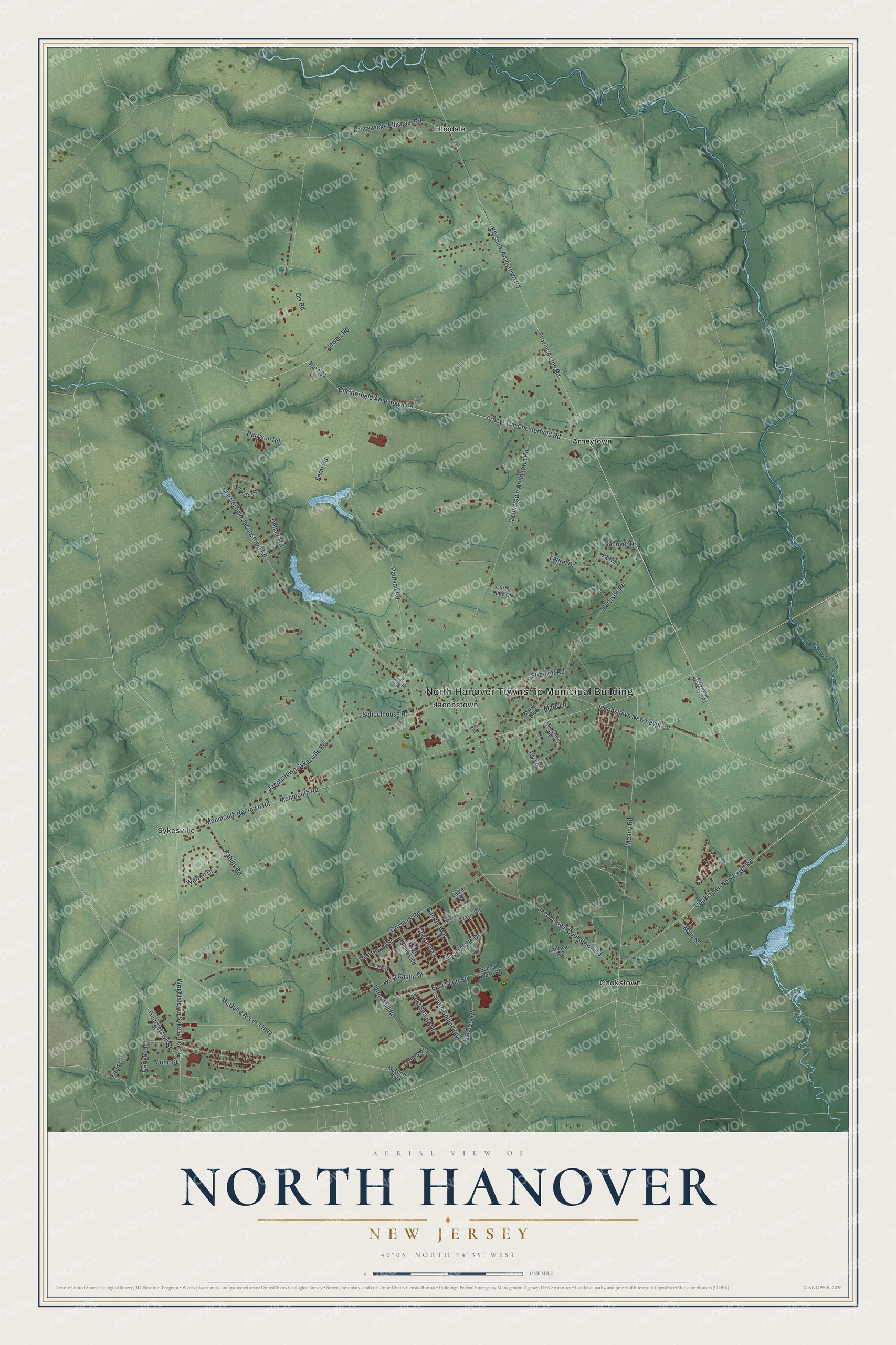
This beautifully detailed map of North Hanover, New Jersey was created in 2026 using aerial imagery combined with modern topographical, census, street and landmark data. It’s a one-of-a-kind view of North Hanover that combines accurate data with a vintage aesthetic. The map shows every building in its true location, many of the roads carry their names, and the shaded topographic relief shows the shape of the land.
Explore an aerial view of North Hanover, New Jersey
On the map you’ll find North Hanover Township Municipal Building, Arneytown, Cookstown, Ellisdale, Jacobstown, and Sykesville, along with Province Line Road, Cookstown New Egypt Road, Ellisdale Arneytown Road, Arneytown Chesterfield Road, and more. If you look closely you can even find your house accurately drawn in its correct location. Zoom in on the preview to look for yours.
Take a closer look at the North Hanover map
Names on this map
These names are printed on this map.
Places: North Hanover Township Municipal Building, Arneytown, Cookstown, Ellisdale, Jacobstown and Sykesville.
Streets and roads: Province Line Road, Cookstown New Egypt Road, Ellisdale Arneytown Road, Arneytown Chesterfield Road, Route 664, Monmouth Road, Wrightstown Sykesville Road, Jacobstown New Egypt Road, Carlyle Drive, McGuire Access Highway, Crosswicks Ellisdale Road, Croshaw Road.
More street names, A to Z
Andrews Lane, Arneytown New Egypt Road, Chenault Lane, Chesterfield Arneytown Road, Chesterfield Jacobstown Road, Curtis Liam Court, Davis Court, Dellaira Court, East Castle Drive, East Scott Street, Edwards Drive, Fairway Court, Farm Road, Field Court, Gander Way, Georgetown Road, Hanover Drive, Harrison Road, Ivy Lane, Jacobstown Arneytown Road, Jacobstown Cookstown Road, Jacobstown Sykesville Road, John Street, Jones Mill Road, Lajes Lane, Larrison Road, Laurel Drive, Levitow Drive, Marc Lane, Mary Street, McGuire Boulevard, Meany Road, Monmouth Rgetown Road, Myron Boulevard, North Bolling Boulevard, Orly Place, Orr Road, Paulson Road, Rahilly Road, Railroad Avenue, Schoolhouse Road, School House Road, School Road, Smylie Drive, South Bolling Boulevard, Stewart Road, Streeker Road, Travis Circle, Travis Street, Warren Drive, West Castle Drive, West George Street, West Spaatz Drive, Yorkshire Terrace.
See it on a wall
The North Hanover map as an 18 x 24 inch print in a black frame.

This beautifully detailed map of North Hanover makes an attractive addition to your office, library, or den, and it can even be used to teach children the geography and history of the area. It also makes a great gift for anyone with North Hanover roots. When you’re done exploring, click here to get your copy of the North Hanover map.