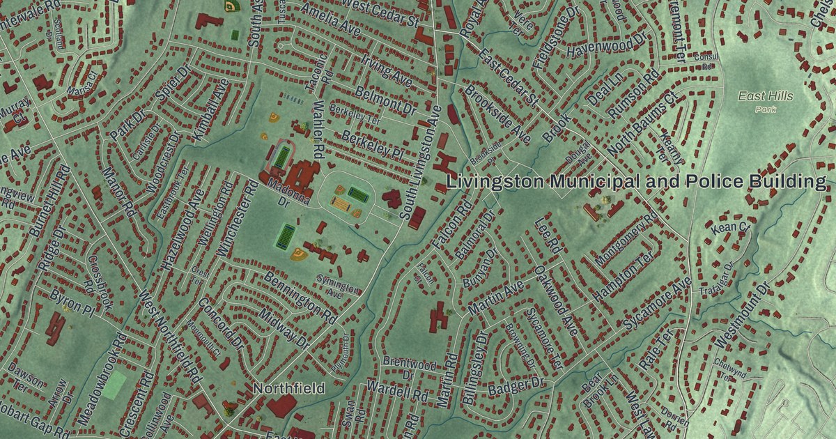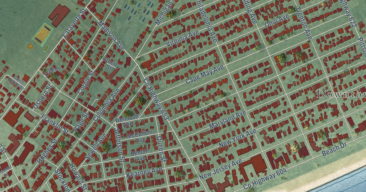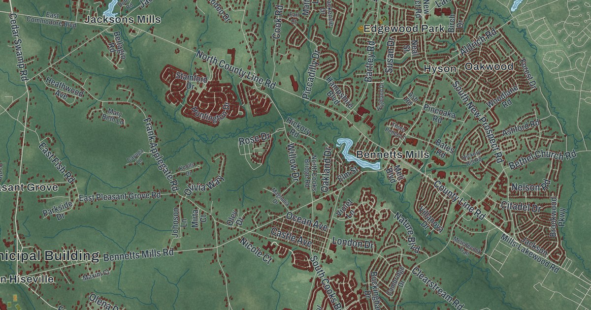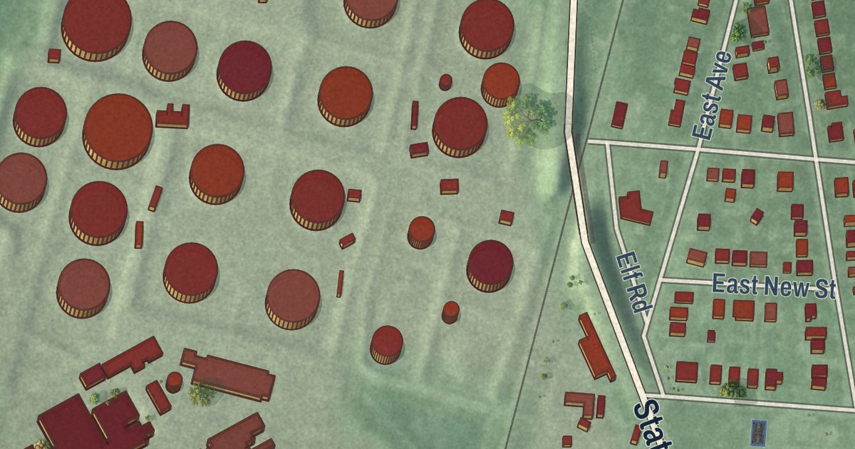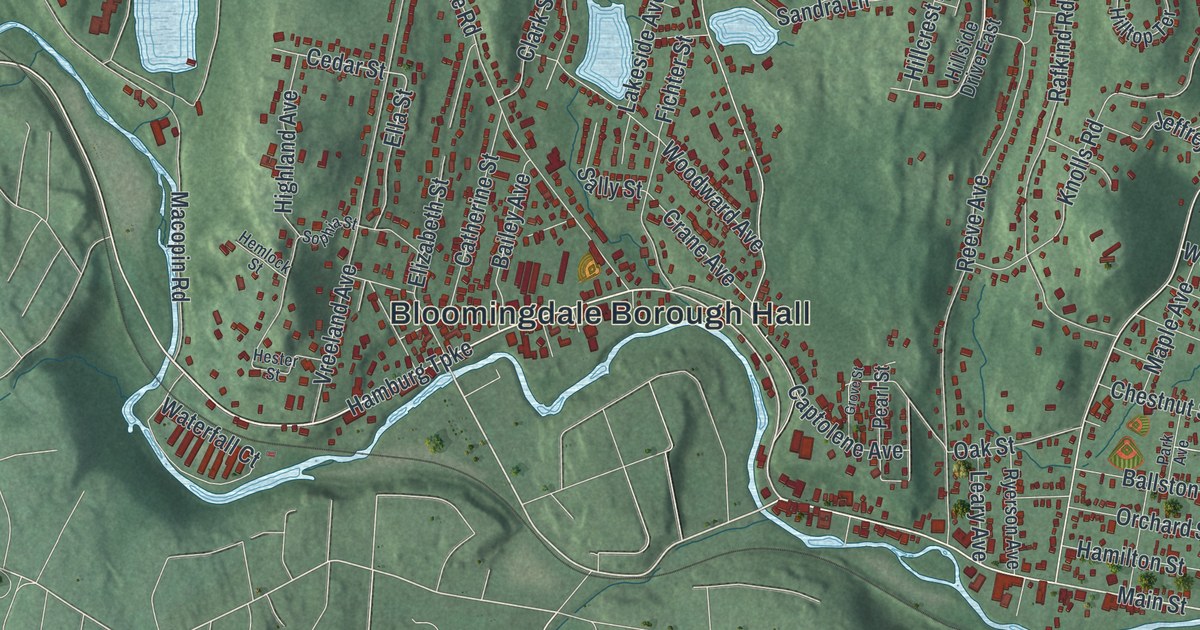
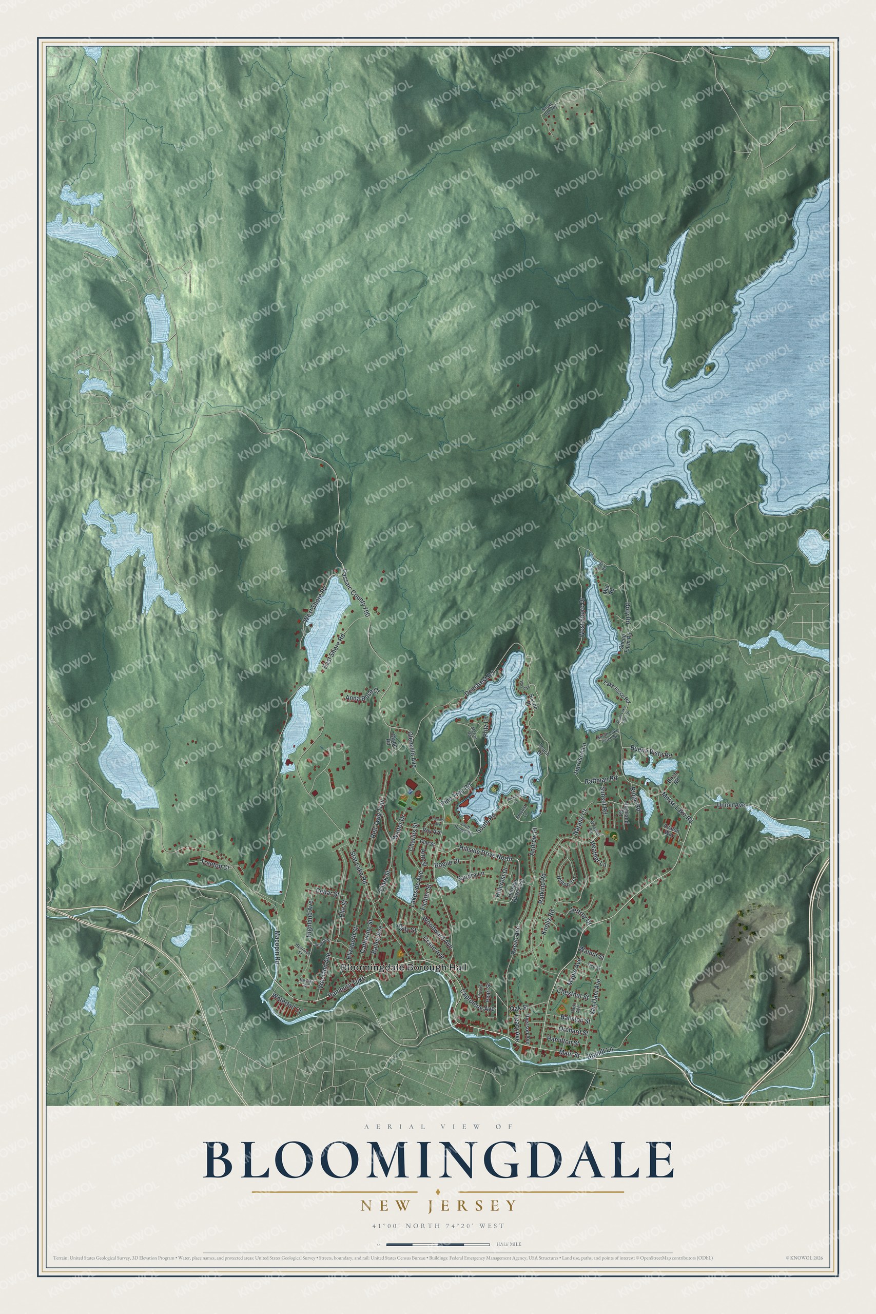
This beautifully detailed map of Bloomingdale, New Jersey was created in 2026 using aerial imagery combined with modern topographical, census, street and landmark data. It’s a one-of-a-kind view of Bloomingdale that combines accurate data with a vintage aesthetic. The map shows every building in its true location, many of the roads carry their names, and the shaded topographic relief shows the shape of the land.
Explore an aerial view of Bloomingdale, New Jersey
On the map you’ll find Bloomingdale Borough Hall and Passaic County 700, along with Main Street, Hamburg Turnpike, South Road, Cedar Street, Ella Street, Glenwild Avenue, Star Lake Road, Union Avenue, Rafkind Road, Macopin Road, and more. If you look closely you can even find your house accurately drawn in its correct location. Zoom in on the preview to look for yours.
Did You Know?
In 1781, Federal Hill in Bloomingdale was the site of the Pompton Mutiny. Continental Army troops rose up in a winter revolt. General Robert Howe crushed it on direct orders from George Washington.
Take a closer look at the Bloomingdale map
Names on this map
These names are printed on this map.
Places: Bloomingdale Borough Hall.
Streets and roads: Main Street, Hamburg Turnpike, South Road, Hillside Drive North, Cedar Street, Ella Street, Glenwild Avenue, Passaic County 700, Star Lake Road, Union Avenue, Rafkind Road, Macopin Road.
More street names, A to Z
Andrew Place, Anna Rose Court, Ann Street, Avalon Way, Bailey Avenue, Ballston Street, Birch Road, Bogue Drive, Brandt Lane, Buena Vista Road, Captolene Avenue, Catherine Street, Charles Street, Chestnut Street, Clark Street, Club House Road, Crane Avenue, Demarest Road, Doty Road, East Shore Road, Elizabeth Street, Elm Street, Fichter Street, Fritz Lane, Glade Road, Grove Street, Hamilton Street, Harrison Lane, Heather Lane, Hemlock Street, Hester Street, Highland Avenue, Highland Road, Hillcrest Drive, Hillside Drive East, Hilltop Terrace, James Avenue, Jeffrey Drive, Knolls Road, Lake Iosco Road, Lakeside Avenue, Leach Drive, Leary Avenue, Maple Avenue, McCul Road, Mickens Lane, Mid Road, Morse Lake Road, Natalie Court, North Road, Oak Street, Orchard Street, Park Avenue, Pearl Street, Pine Tree Road, Provost Lane, Raffman Road, Red Twig Trail, Reeve Avenue, Ridge Road, Roy Avenue, Ryerson Avenue, Sally Street, Sandra Lane, Sheep Farm Road, Siscoe Place, Snake Den Road, Sophia Street, South Lake Iosco Street, South Lake Ioseo Street, Sunset Road, Tice Street, Treetop Court, Van Dam Avenue, Vreeland Avenue, Walnut Street, Walter Drive, Waterfall Court, West Shore Drive, West Shore Road, Woodlot Road, Wood Place, Woodward Avenue.
See it on a wall
The Bloomingdale map as an 18 x 24 inch print in a black frame.

This beautifully detailed map of Bloomingdale makes an attractive addition to your office, library, or den, and it can even be used to teach children the geography and history of the area. It also makes a great gift for anyone who grew up in Bloomingdale or moved away. When you’re done exploring, click here to get your copy of the Bloomingdale map.