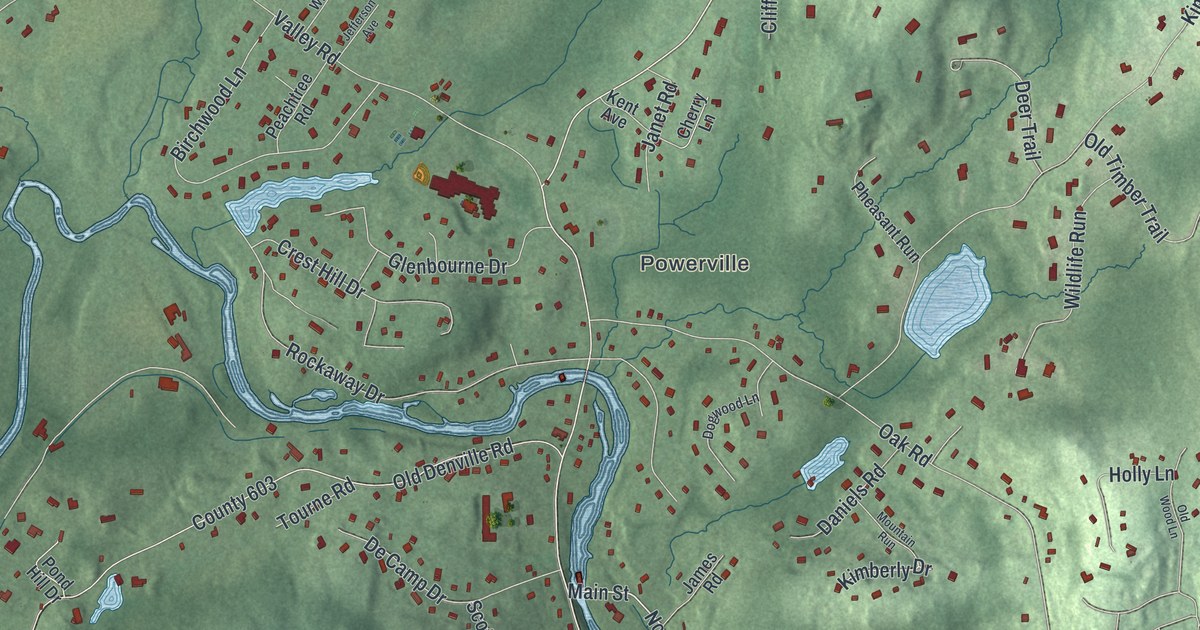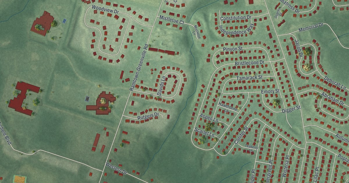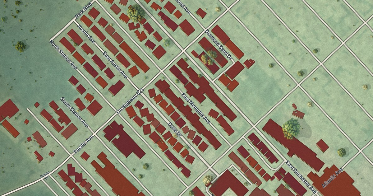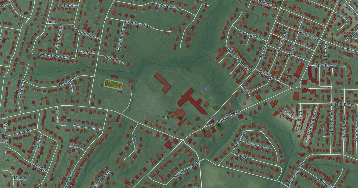
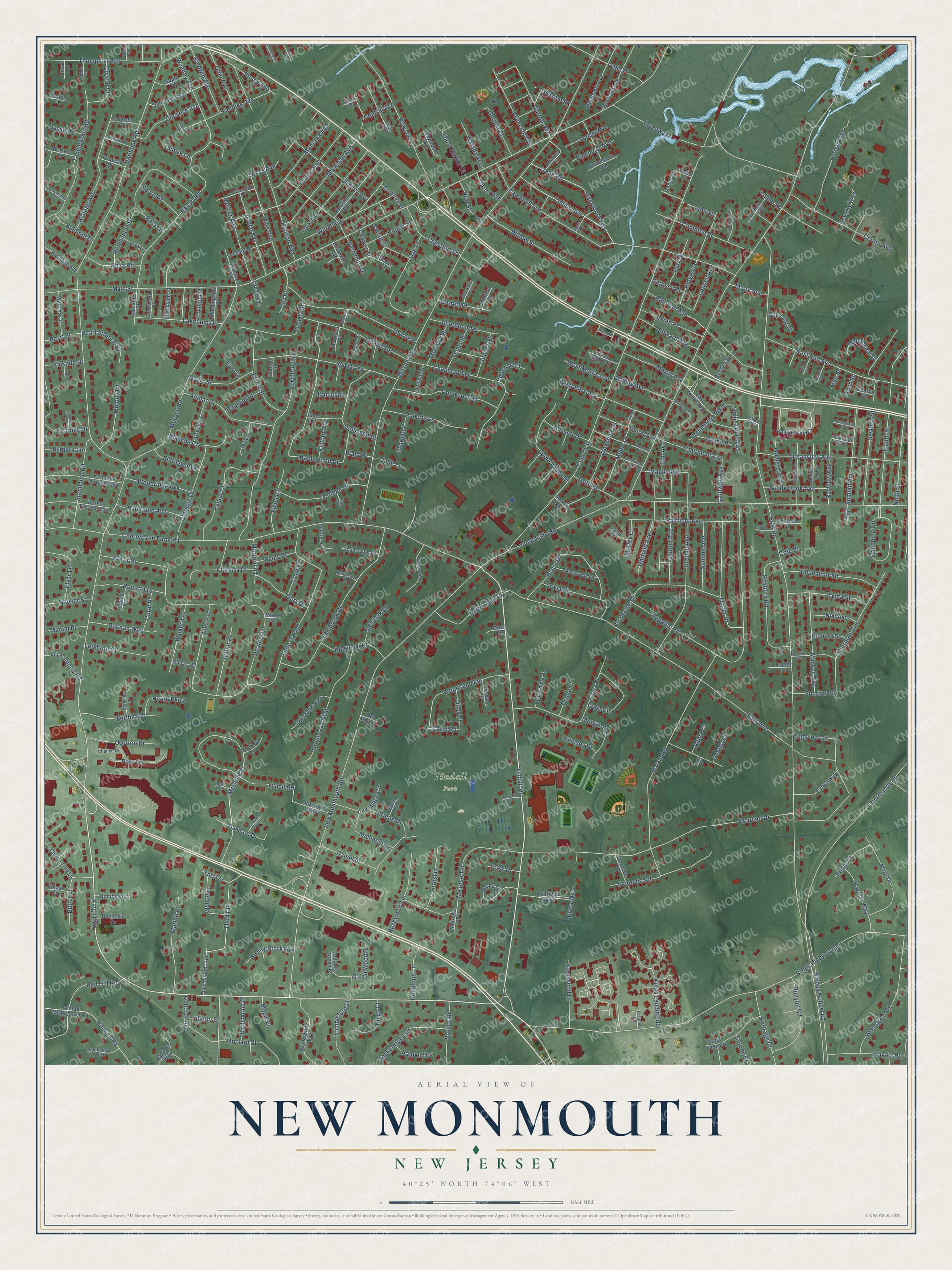
This beautifully detailed map of New Monmouth, New Jersey was created in 2026 using aerial imagery combined with modern topographical, census, street and landmark data. It’s a one-of-a-kind view of New Monmouth that combines accurate data with a vintage aesthetic. The map shows every building in its true location, many of the roads carry their names, and the shaded topographic relief shows the shape of the land.
Explore an aerial view of New Monmouth, New Jersey
On the map you’ll find Tindall Park and McBride Place, along with Kings Highway, Park Avenue, Tindall Road, Main Street, Harmony Road, East Road, Church Street, Wilson Avenue, New Monmouth Road, Cherry Tree Farm Road, and more. If you look closely you can even find your house accurately drawn in its correct location. Zoom in on the preview to look for yours.
Did You Know?
From Internet Archive: "Fie was one of the investors of the railroad operating between New Monmouth station and Atlantic Highlands, now one of the connections of the New York & Long Branch Railroad."
New Monmouth is a community in Monmouth County.
Take a closer look at the New Monmouth map
Names on this map
These names are printed on this map.
Places: Tindall Park.
Streets and roads: Kings Highway, Park Avenue, Tindall Road, McBride Place, Main Street, Harmony Road, East Road, Church Street, Wilson Avenue, New Monmouth Road, Cherry Tree Farm Road, Leonardville Road.
More street names, A to Z
Aberdeen Terrace, Acker Drive, Acorn Drive, Albon Court, Alimar Drive, Allen Place, Alpha Court, Apple Avenue, Apple Valley Drive, Arlene Drive, Arthur Place, Baldwin Avenue, Banfield Court, Barbara Terrace, Baskenridge Drive, Bayberry Lane, Bayview Avenue, Belicose Court, Belmont Drive, Bennett Place, Berman Way, Bertha Road, Beth Drive, Beverly Way, Blanche Court, Bonifacio Court, Bonifacio Drive, Brainard Avenue, Brandywine Way, Bray Avenue, Brian Way, Briarcliff Place, Broadway, Brookside Drive, Butler Lane, Caldwell Avenue, Campbell Avenue, Carolina Avenue, Carol Road, Carter Avenue, Cedar Street, Center Avenue, Central Avenue, Central Place, Chance Drive, Chanceville Place, Chanowich Court, Chapman Terrace, Charles Street, Charmer Court, Cherry Tree Lane, Chestnut Street, Clairmont Avenue, Claridge Drive, Clarissa Drive, Clark Place, Clinton Avenue, Coe Place, Cole Place, Collins Avenue, Collinson Drive, Colonial Square, Colony Drive, Compton Street, Conover Avenue, Coral Place, Cottage Place, Coyne Place, Crab Apple Lane, Craig Place, Crawford Place, Creek Road, Crosby Lane, Crossway, Crystal Court, Dakota Avenue, Daniel Drive, Daniel Street, David Court, Del Ray Court, Delta Court, Division Street, Dogwood Terrace, Dolores Place, Donald Place, Drift Road, Duchess Avenue, East End Avenue, East Morris Avenue, Edgemoor Road, Edward Avenue, Eighth Street, Eldridge Avenue, Elinor Street, Elizabeth Avenue, Elm Avenue, Elyar Terrace, Evergreen Terrace, Fairfield Avenue, Ferraro Court, Fielding Avenue, Fifth Street, First Avenue, Florence Place, Florence Road, Forest Drive, Fourth Street, Frisk Drive, Frost Circle, Galloping Circle, Garfield Avenue, Garnsey Place, Garrett Place, Gary Drive, Gayle Street, Gillridge Parkway, Glen Oak Drive, Gordon Court, Grace Avenue, Greeley Court, Greene Avenue, Green Oak Boulevard, Green Wood Place, Grove Street, Gulfstream Drive, Hamilton Parkway, Harbor Way, Harmony Avenue, Hartshorne Place, Hauser Street, Haven Street, Heather Lane, Heath Parkway, Henry Drive, Heritage Drive, Hialeah Avenue, Highview Circle, Hockin Street, Holland Road, Hollie Drive East, Hollie Drive West, Holmdel Middletown Road, Hopi Drive, Hopping Road, Hudson Avenue, Hutchinson Drive, Illinois Avenue, Irving Place, Irwin Place, Ivy Lane, Jane Street, Jay Drive, Jersey Avenue, Joycee Court, Julie Lane, June Terrace, Jupiter Street, Karen Terrace East, Katie Drive, Kearney Drive, Kelesey Drive, Kelley Court, Kenneth Terrace East, Kentucky Avenue, Kenwood Drive, Kevan Place, Kim Court, Kings Court, Kings Highway East, Kings Landing Road, Kinkade Drive, Kitmary Avenue, Knapp Circle, Knollwood Drive, Lakeland Drive, Lakeside Place, Lakewood Place, Lauer Court, Lawrence Circle, Lee Avenue, Lee Court, Leighton Court, Lenison Avenue, Libby Place, Liberty Street, Linda Street, Lisa Lane, Locust Street, Locust Terrace, Lohsen Avenue, Lone Oak Road, Louis Court, Louise Place, Lusan Lane, Lydia Place, Lynch Road, Lynn Court, Mackenn Place, Mackey Avenue, Maple Avenue, Maple Drive, Maple Lane, Maple Leaf Drive, Maple Street, Maplewood Drive, Marlpit Place, Marsha Drive, Martel Court, Marvin Road, McCormick Place, Melody Lane, Melrose Place, Melrose Terrace, Mercer Avenue, Mercury Street, Merkel Drive, Michael Drive, Michigan Avenue, Millbrook Drive, Millbrook Place, Mills Avenue, Miriam Place, Monmouth Avenue, Montana Avenue, Moore Court, Morford Road, Morgan Road, Morley Court, Morningside Place, Morris Avenue, Morris Way, Murphy Road, Myrte Avenue, Navaho Way, Neil Avenue, Neptune Street, New Street, Niles Avenue, Ninth Street, Normandy Road, North Lake Drive, Oakdale Drive, Oakes Avenue, Oakland Avenue, Oak Leaf Drive, Oak Street, Oakwood Way, Oceanview Avenue, Ohio Avenue, Old Country Road, Omega Court, Orchard Avenue, Orchard Place, Orchard Street, Overton Drive, Palmer Street, Park Place, Pate Drive, Patriots Way, Pauls Place, Pearl Street, Pearl Street East, Pedee Place, Penelope Lane, Pinehurst Avenue, Pineridge Avenue, Plymouth Avenue, Pomo Court, Poplar Street, Princeton Place, Pulsch, Railroad Avenue, Raphael Place, Ravatt Road, Raymond Avenue, Red Hill Road, Renier Court, Reta Lane, Rhea Road, Richard Street, Ridge Avenue, Roberta Drive, Roberts Lane, Rosewood Terrace, Roxbury Road, Runyon Road, Russett Drive, Salisbury Avenue, Sandy Hook Avenue, Schelly Drive, Scott Road, Seeley Street, Seventh Street, Shadyside Place, Sherman Avenue, Shirly Place, Shoal Harbor Court, Simek Lane, Sixth Street, Sleepy Hollow Road, Sophia Court, Southview West, Spradley Lane, Springfield Avenue, Spruce Drive, Stanley Lane, Stavola Road, Stephanie Road, Stratton Place, Suffolk Avenue, Summerfield Court, Summit Avenue, Sumner Avenue, Sunrise Place, Sunrise Road, Sunset Avenue, Sunset Place, Susan Avenue, Swartzel Drive, Sylvia Terrace, Tanglewood Court, Tanglewood Road, Texas Avenue, The Lenape Trail, The Terrace, The Trail, The Vista, Third Street, Thompson Avenue, Thorne Place, Trimbleford Lane, Tropical Drive, Trotter Terrace, Truex Place, Turner Drive, Twilight Place, Twin Oak Avenue, Union Avenue, Venus Street, Vermont Avenue, Veronica Place, Village Green Court, Village Lane, Virginia Avenue, Walada Avenue, Walker Terrace, Walling Avenue, Walnut Street, Ward Place, Warren Place, Waterview Avenue, Wealthy Avenue, Wedgewood Circle, West Farm Road, West Morris Avenue, West Park Avenue, Willet Road, Willow Street, Winding Brook Way, Wood Avenue, Woodbine Street, Woodgate Road, Woodland Avenue, Woodlawn Avenue, Woodnut Place, Woodridge Avenue, Woodsend Road, Woodstock Avenue, York Avenue, Zerman Drive, Zilinski Drive.
See it on a wall
The New Monmouth map as a framed print. Swipe for more.


This beautifully detailed map of New Monmouth makes an attractive addition to your office, library, or den, and it can even be used to teach children the geography and history of the area. It also makes a great gift for anyone with New Monmouth roots. When you’re done exploring, click here to get your copy of the New Monmouth map.