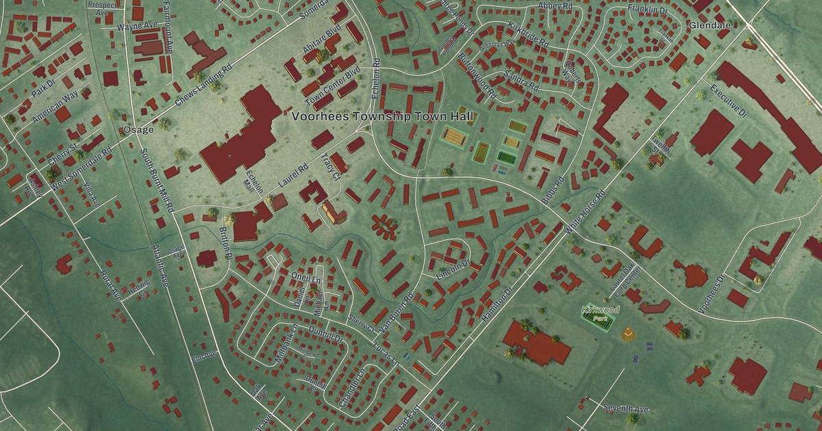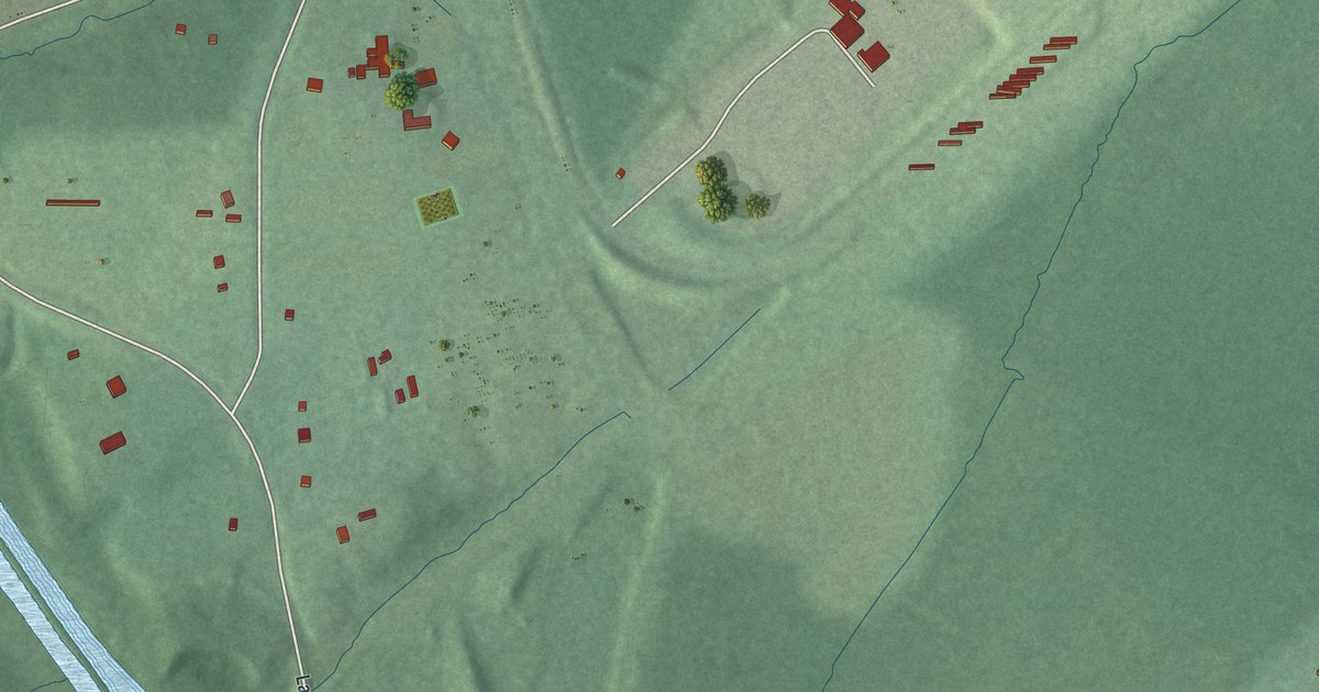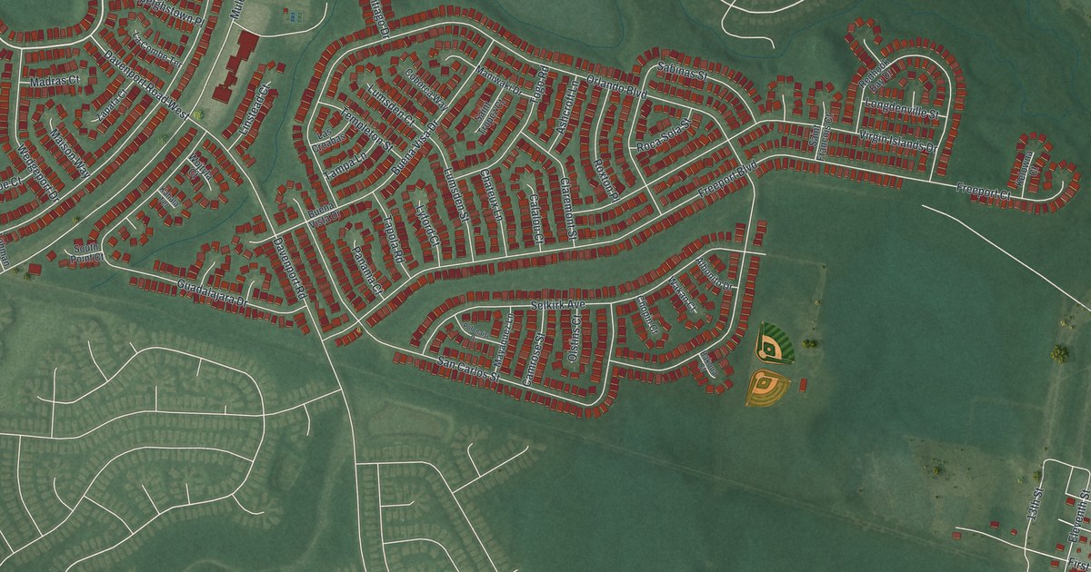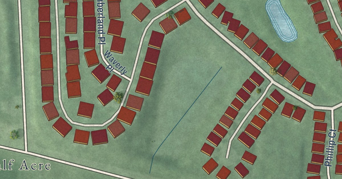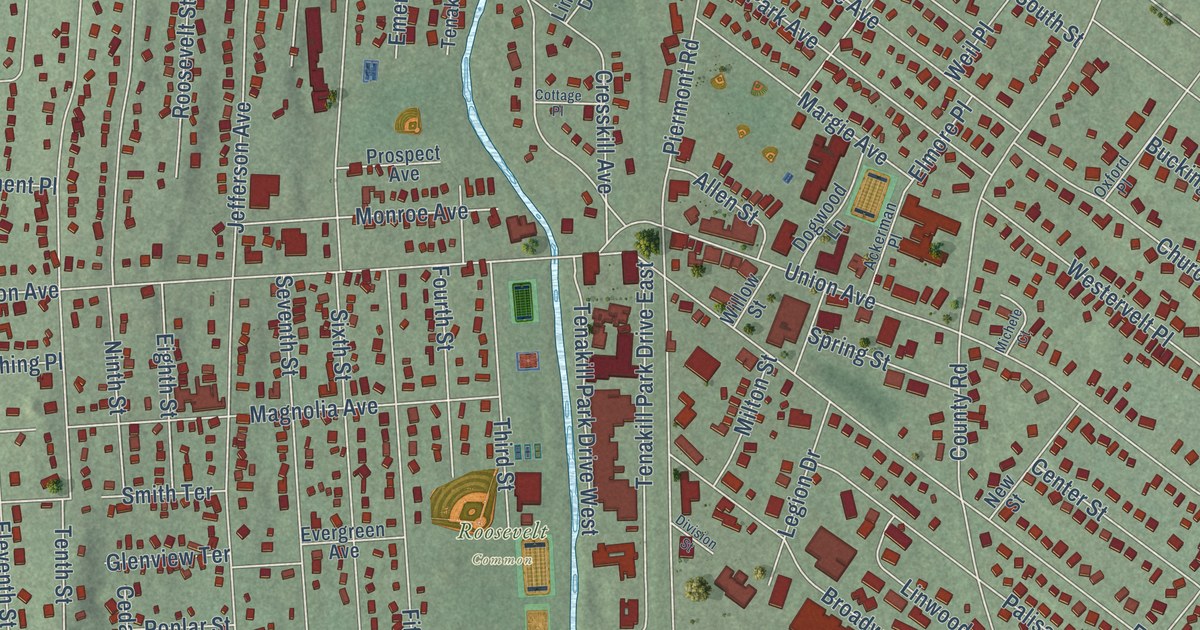
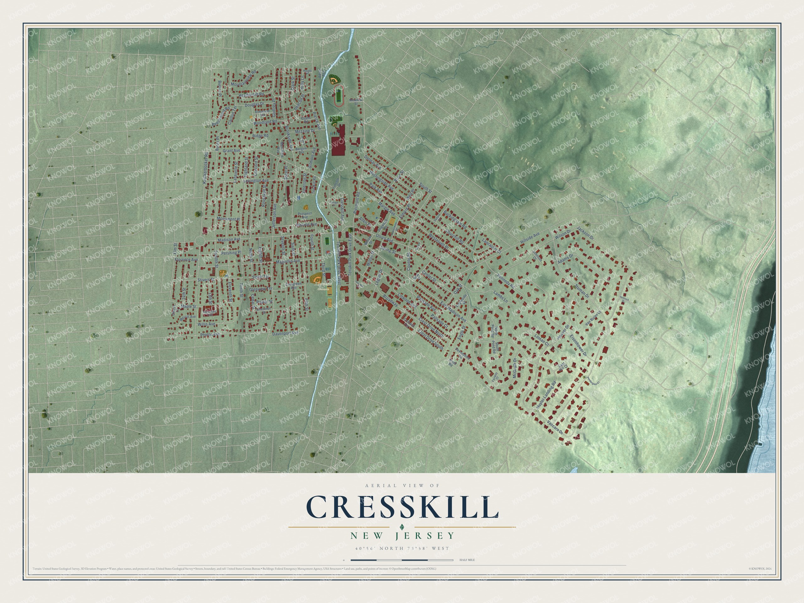
This beautifully detailed map of Cresskill, New Jersey was created in 2026 using aerial imagery combined with modern topographical, census, street and landmark data. It’s a one-of-a-kind view of Cresskill that combines accurate data with a vintage aesthetic. The map shows every building in its true location, many of the roads carry their names, and the shaded topographic relief shows the shape of the land.
Explore an aerial view of Cresskill, New Jersey
On the map you’ll find Roosevelt Common, along with Knickerbocker Road, Piermont Road, Truman Drive, East Madison Avenue, Hillside Avenue, Eleventh Street, Grant Avenue, Jefferson Avenue, Twelfth Street, Brookside Avenue, Hoover Drive, and more. If you look closely you can even find your house accurately drawn in its correct location. Zoom in on the preview to look for yours.
Did You Know?
Cresskill took its name from two old words. Cress stood for watercress growing in local streams, and kill was an old word for a stream. The borough was incorporated on May 8, 1894, from parts of Palisades Township.
Take a closer look at the Cresskill map
Names on this map
These names are printed on this map.
Places: Roosevelt Common.
Streets and roads: Knickerbocker Road, Piermont Road, Truman Drive, East Madison Avenue, Hillside Avenue, Eleventh Street, Grant Avenue, Jefferson Avenue, Twelfth Street, Brookside Avenue, Hoover Drive, Madison Avenue.
More street names, A to Z
13th Street, 14th Street, Ackerman Place, Adams Drive, Adele Avenue, Allen Street, Beechwood Road, Bergen Terrace, Broadway, Buckingham Road, Burns Place, Burton Place, Carlton Terrace, Cedar Street, Center Street, Cherry Court, Chestnut Street, Churchill Road, Clark Street, Concord Street, Cottage Place, County Road, Cresskill Avenue, Crest Drive North, Crest Drive South, Davenport Avenue, Deacon Place, Delmar Avenue, Devonshire Road, Division Street, Dogwood Lane, Douglas Drive, East Hill Court, Eighth Street, Eisenhower Drive, Elmore Place, Elm Street, Elmwood Terrace, Emerson Street, Engleside Street, Engle Street, Evans Road, Evergreen Avenue, Fairway Court, Fifth Street, Florence Avenue, Fourth Street, Gilmore Avenue, Glenview Terrace, Godfrey Place, Haight Place, Harvard Street, Heatherhill Road, Hemlock Drive, Highland Street, Holly Lane, Huyler Landing Road, Jackson Drive, Johnson Court, Kennedy Road, Knoll Road, Lafayette Street, Lambs Lane, Lancaster Court, Legion Drive, Lexington Avenue, Lincoln Drive, Linwood Avenue, Loman Court, Magnolia Avenue, Maple Street, Margie Avenue, McGrath Drive, Meadow Street, Merrifield Way, Merritt Avenue, Mezzine Drive, Michele Court, Milton Street, Monroe Avenue, Monument Place, Morningside Avenue, Mountainview Road, New Street, Ninth Street, North Pond Road, Oak Street, Orchard Terrace, Oxford Place, Palisade Avenue, Palisade Court, Park Avenue, Pendergast Court, Pershing Place, Phelps Avenue, Pierce Avenue, Poplar Street, Prospect Avenue, Ridge Road, Roosevelt Street, Rose Street, Seventh Street, Short Place, Sixth Street, Smith Terrace, South Pond Road, South Street, Spring Street, Stivers Street, Stonegate Trail, Tenakill Park Drive East, Tenakill Park Drive West, Tenakill Road, Tenth Street, Third Street, Union Avenue, Vaccaro Drive, Van Buren Court, Weil Place, Westervelt Place, Willis Avenue, Willow Street, Wilson Drive, Woodland Road.
See it on a wall
The Cresskill map as an 18 x 24 inch print in a black frame.

This beautifully detailed map of Cresskill makes an attractive addition to your office, library, or den, and it can even be used to teach children the geography and history of the area. It also makes a great gift for someone who left Cresskill and still calls it home. When you’re done exploring, click here to get your copy of the Cresskill map.