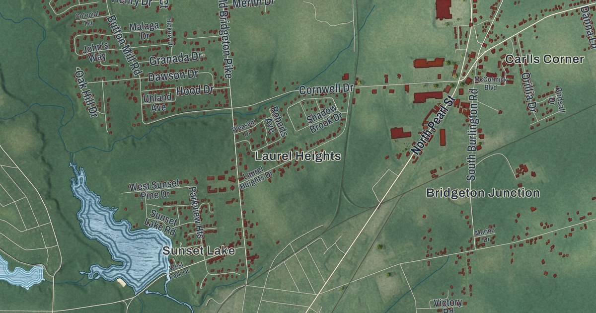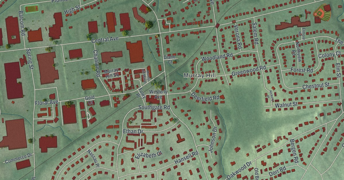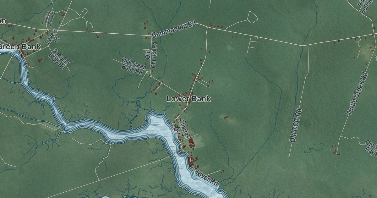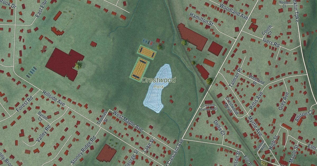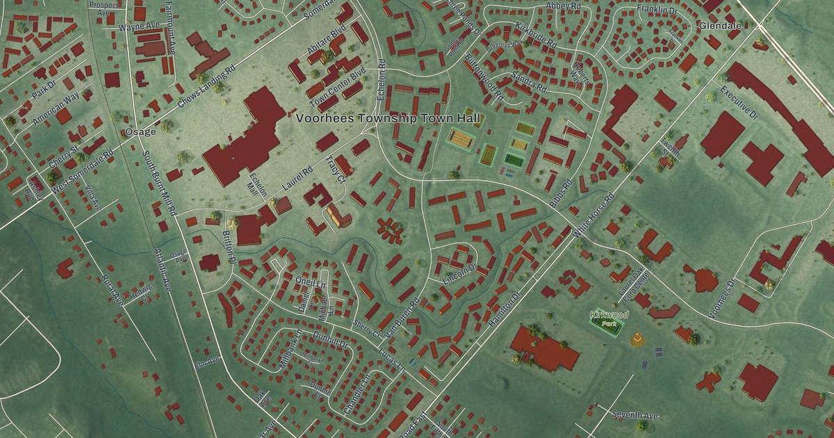
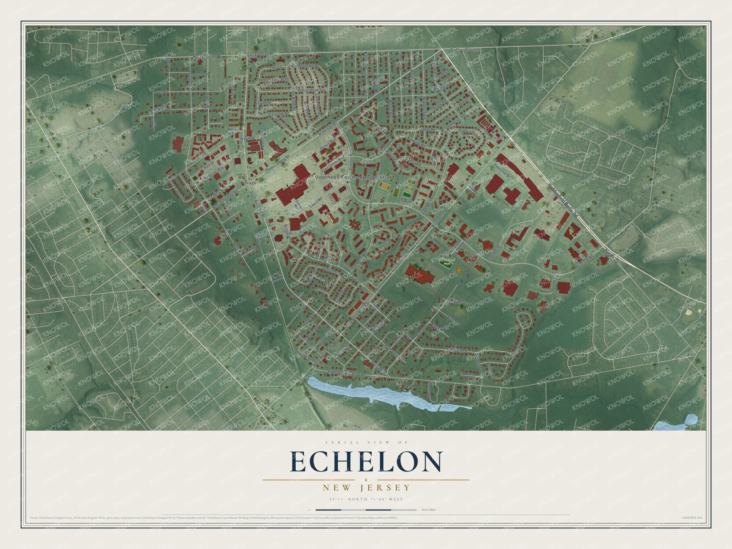
This beautifully detailed map of Echelon, New Jersey was created in 2026 using aerial imagery combined with modern topographical, census, street and landmark data. It's a modern aerial view of Echelon in Camden County, New Jersey, that combines modern data with a vintage aesthetic. The roads feature printed names, and if you look closely you can find your exact house accurately shown in its correct location.
Explore an aerial view of Echelon, New Jersey
On this map you'll find Voorhees Township Town Hall, Kirkwood Park, Coffins Corner, Glendale, Osage, Haddonfield Berlin Road, Chews Landing Road, Somerdale Road, East Evesham Road, West Somerdale Road, South Burnt Mill Road, Pine Avenue, and more. Each red shape is a building, so zoom in on the preview and look for yours.
Here is a piece of Echelon history. Echelon began as a plan for a big shopping center on the abandoned Echelon Airport, where the Strawbridge and Clothier company took an option on 125 acres. With the Rouse Company, the plan grew into a 400 acre planned community, and the name chosen for the new suburb was Echelon. That's from the Strawbridge and Clothier centennial history.
Echelon is a community in Camden County. The Census Bureau counted 11,896 people here in 2020. The map prints the town name in its title panel, with the coordinates below it.
Take a closer look at the Echelon map
Names on this map
These names are printed on this map.
Places: Voorhees Township Town Hall, Kirkwood Park, Coffins Corner, Glendale and Osage.
Streets and roads: Haddonfield Berlin Road, Chews Landing Road, Somerdale Road, East Evesham Road, West Somerdale Road, South Burnt Mill Road, Pine Avenue, White Horse Road, White Horse Road East, Laurel Oak Road, Alpha Avenue, Echelon Road.
More street names, A to Z
Abbey Road, Abitare Boulevard, Acorn Lane, American Way, Ashley Run, Ashriver Court, Atlantic Avenue, Bergen Avenue, Bibbs Road, Blue Ridge Road, Britton Place, Burlington Avenue, Burnt Mill Road, Buttonwood Road, Camden Avenue, Carriagebrooke Drive, Cedar Avenue, Chandler Lane, Cherry Street, Chestnut Avenue, Country Lane, Daniel Lane, Duck Pond Court, Dumont Circle, Dunhill Court, Dunhill Drive, Eaton Place, Ebert Avenue, Echelon Mall, Elm Avenue, Essex Avenue, Executive Drive, Fairmount Avenue, Fairview Avenue, Farmhouse Lane, Fifth Street, Ford Avenue, Franklin Drive, Franklin Place, Front Street, Gibbsboro Kirkwood Road, Golden Pond Court, Great Oak Road, Green Ridge Road, Gregorys Way, Haddon Avenue, Hamilton Drive, Hedwig Court, Homer Avenue, Horseshoe Drive, Hudson Avenue, Kirkbride Road, Laurel Oak Corp Center, Laurel Road, Lennox Avenue, Lincoln Drive, Linden Avenue, Locust Avenue, Long Lane, Lotus Avenue, Lucas Lane, Mansion Avenue, Maple Avenue, Mercer Avenue, Michael Lane, Middlesex Avenue, Millbank Court, Millbank Lane, Morris Avenue, Oak Avenue, Oneil Lane, Osage Avenue, Park Drive, Passaic Avenue, Pelham Place, Pelham Road North, Pelham Road South, Poplar Avenue, Preston Avenue, Prospect Avenue, Ridge Road, Roberts Way, Round Hill Road, Rural Avenue, Saddle Ridge Road, Salem Avenue, Sandra Road, Second Avenue, Second Street, Seventh Avenue, Sherry Court, Sixth Avenue, Somerset Avenue, South Fifth Street, South Fourth Street, Spino Court, Spruce Avenue, Stevens Drive, Surrey Road, Sussex Avenue, Sycamore Avenue, Three Ponds Drive, Town Center Boulevard, Tracy Court, Turnberry Court, Twelfth Street, Van Buren Road, Villa Avenue, Voorhees Drive, Walnut Avenue, Warren Avenue, Wayne Avenue, West End Avenue, West Evesham Road, White Horse Road West.
See it on a wall
The Echelon map as a framed print. Swipe for more.


Created by KNOWOL in 2026. The buildings are small red shapes, the roads carry their printed names, and shaded relief shows the shape of the land. The title panel reads "AERIAL VIEW OF ECHELON, NEW JERSEY" with 39°51' NORTH 75°00' WEST.
It suits a den, a classroom or a front hall, and it makes a gift for anyone with Echelon roots. Open the preview and find the block you know. See sizes and frames for the Echelon map.