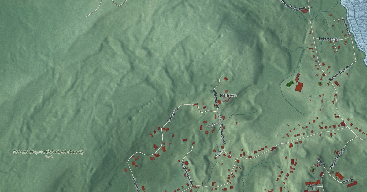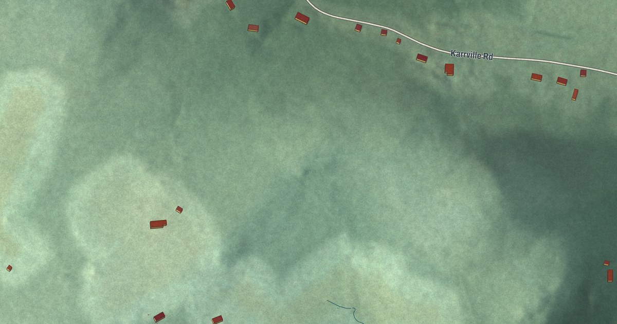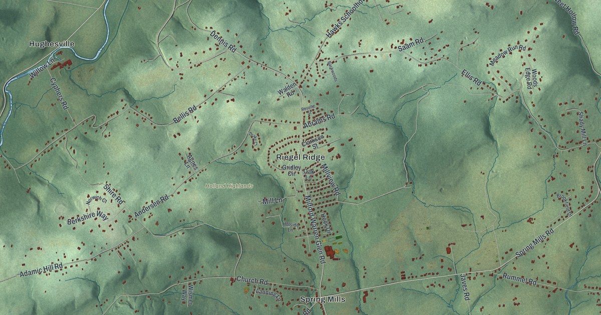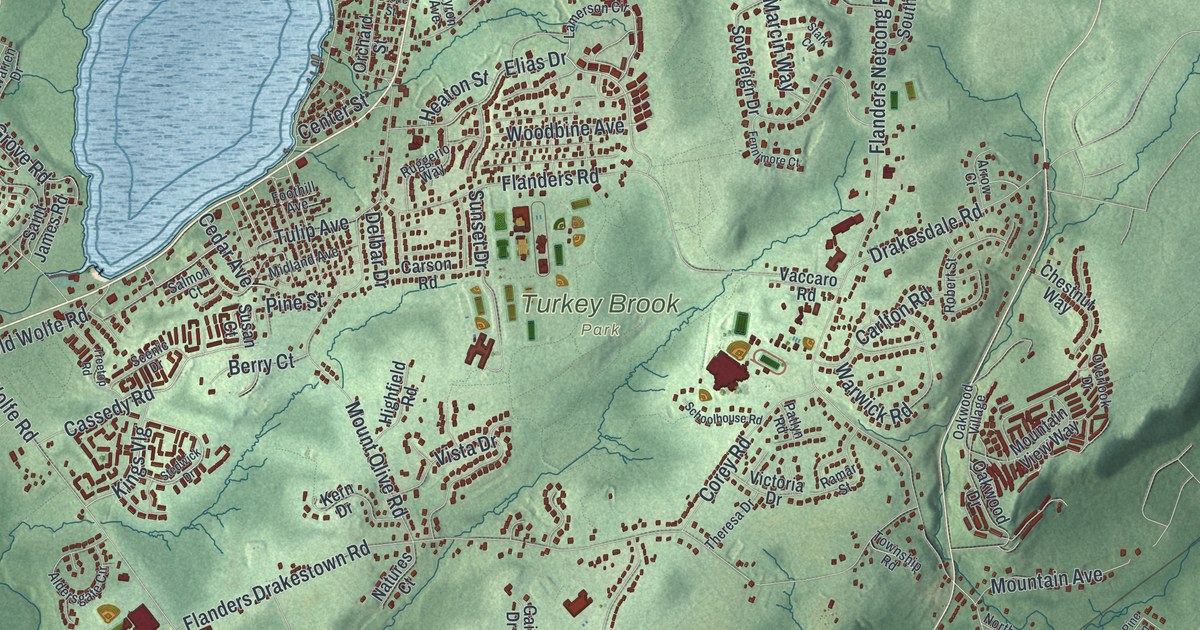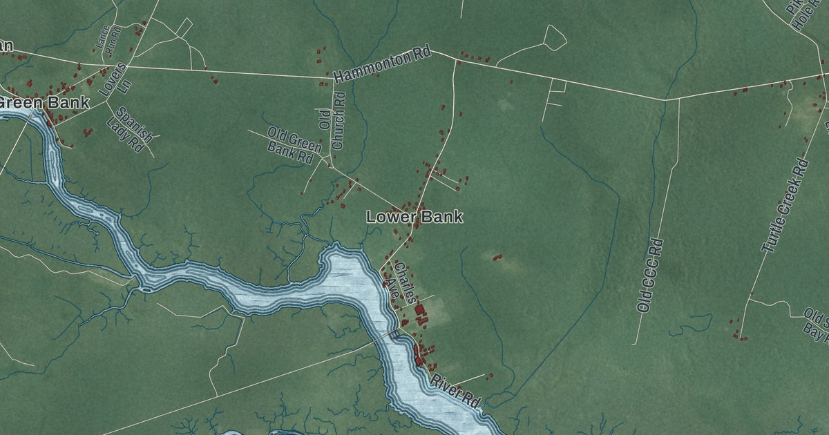
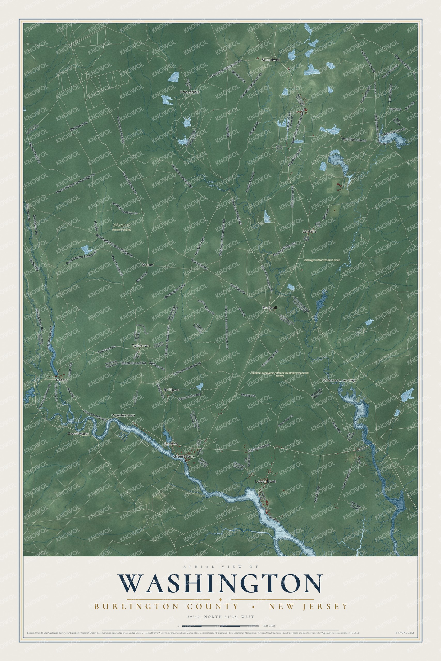
This beautifully detailed map of Washington, Burlington County, New Jersey was created in 2026 using aerial imagery combined with modern topographical, census, street and landmark data. It’s a one-of-a-kind view of Washington that combines accurate data with a vintage aesthetic. The map shows every building in its true location, many of the roads carry their names, and the shaded topographic relief shows the shape of the land.
Explore an aerial view of Washington, Burlington County, New Jersey
On the map you’ll find Batsto, Bulltown, Charcoal Landing, Crowleytown, Friendship, Jacques Cousteau National Estuarine Research Reserve, and Wharton State Forest, along with Green Bank Chatsworth Road, Devious Mount Road, Mount Road, Batona Trail, Hawkins Bridge Road, and more. If you look closely you can even find your house accurately drawn in its correct location. Zoom in on the preview to look for yours.
Did You Know?
The township honors George Washington, the first president. More than ten New Jersey communities share that tribute. The state created it on November 19, 1802, from parts of Evesham, Little Egg Harbor and Northampton townships. Later it gave up land to form Shamong, Bass River and Woodland.
Take a closer look at the Washington, Burlington County map
Names on this map
These names are printed on this map.
Places: Jacques Cousteau National Estuarine Research Reserve, Oswego River Natural Area, Wharton State Forest, Batsto, Bulltown, Charcoal Landing, Crowleytown, Friendship, Green Bank, Herman, Jenkins, Lower Bank, Maxwell, Mount, Speedwell, Sweetwater and Tylertown.
Streets and roads: Route 542, Green Bank Chatsworth Road, Devious Mount Road, Mount Road, Batona Trail, Hawkins Bridge Road, Tylertown Road, Hammonton Road, Hawkins Turnpike, Ridge Road, Batsto Lake Road, Little Deer Run Road.
More street names, A to Z
Adams Feedstrip, Allen Road, Batsto Bridgeport Road, Batsto Road, Bills Swamp Road, Bulldozed Road, Bulltown Hawkins Road, Bulltown Maxwell Road, Bulltown Road, Burnt Schoolhouse Road, Cabin Road, Carranza Road, Cedar Lane, Charles Avenue, Chatsworth Road, Constable Bridge Road, Cranberry Bog Access Road, Cranberry Bogs Access Road, D-S Road, Deep Hollow Road, Deer Run Road, Eagle Road, Eleanor Adams Road, Franks Ford Road, Friendship Speedwell Road, Gagers Lane, Godfrey Bridge Road, Goodwater Road, Grassy Pond Road, Hawkins Lowland Road, Hawkins Road, Hawkins Speedwell Road, Hayes Crossway, Hay Road, Hog Wallow Airstrip Road, Hog Wallow Road, Iona Gun Club Road, Iron Pipe Road, Jemima Feedstrip Road, Jones Field Road, Lake Oswego Road, Lance Run Road, Little Hawkin Road, Lost Lane Road, Lovers Lane, Lower Forge High Crossing Road, Maja Leek Field Road, Mannis Pond Road, Maple Branch Road, Maxwell Friendship Road, Mick Lane, Middle Road, Mile Run Road, Mordecai Swamp Road, Mount Sandy Ridge Road, Mullica River Road, Old Bulltown Hawkins Road, Old CCC Road, Old Church Road, Old Elwood Batsto Road, Old Evans Bridge Harrisville Road, Old Green Bank Bulltown Road, Old Green Bank Mill Washington Road, Old Green Bank Road, Old Swan Bay Road, Old Wading River Maxwell Road, Penn Road, Penn Swamp Branch Road, Penn Swamp Road, Pike Hole Road, Pine Street, Piney Pond Feedstrip, Piney Pond Road, Pleasant Mills Road, Quaker Bridge Sandy Ridge Road, River Road, Route 563, Sooy Road, Spanish Lady Road, Stormy Hill Road, Straight Road, Swamp Road, The Forks Road, Tranquility Road, Tuckerton Road, Turtle Creek Road, Tylertown Feedstrip, Washington Quaker Bridge Road, Washington Speedwell Road, Washington Turnpike, Weeks Road.
See it on a wall
The Washington, Burlington County map as an 18 x 24 inch print in a black frame.

This beautifully detailed map of Washington, Burlington County makes an attractive addition to your office, library, or den, and it can even be used to teach children the geography and history of the area. It also makes a great gift for anyone who grew up in Washington or moved away. When you’re done exploring, click here to get your copy of the Washington, Burlington County map.