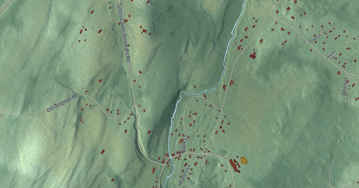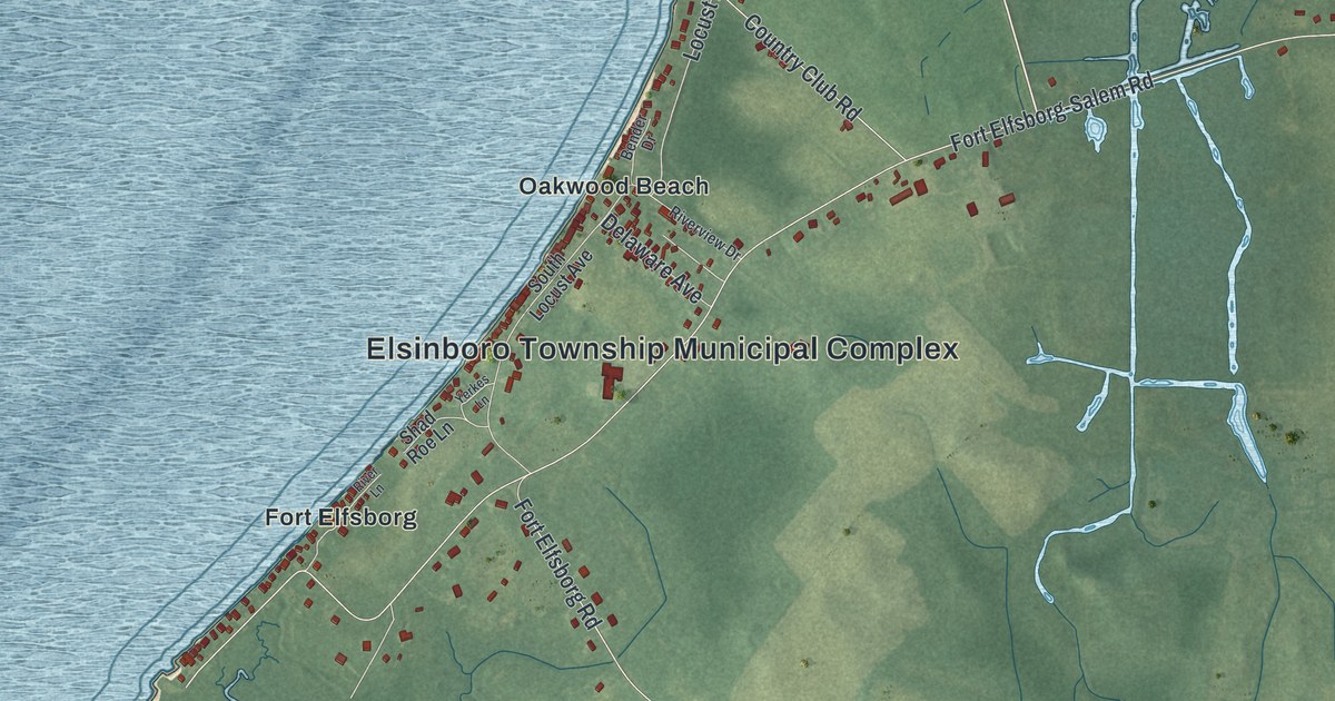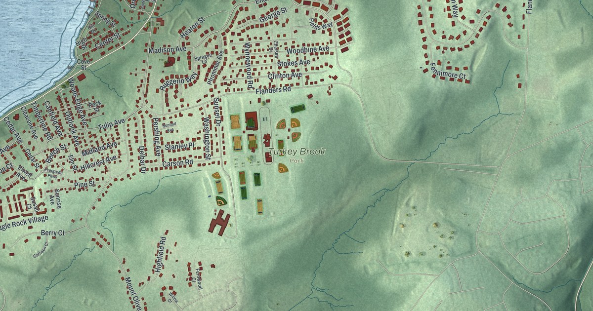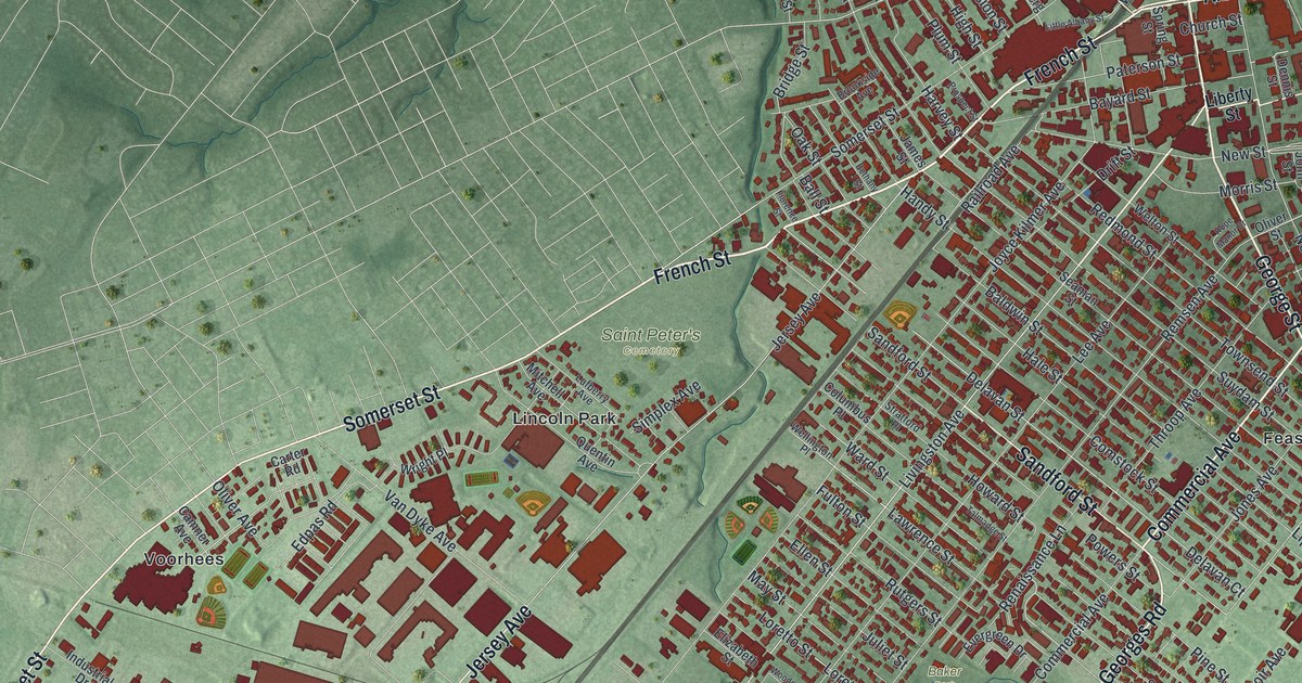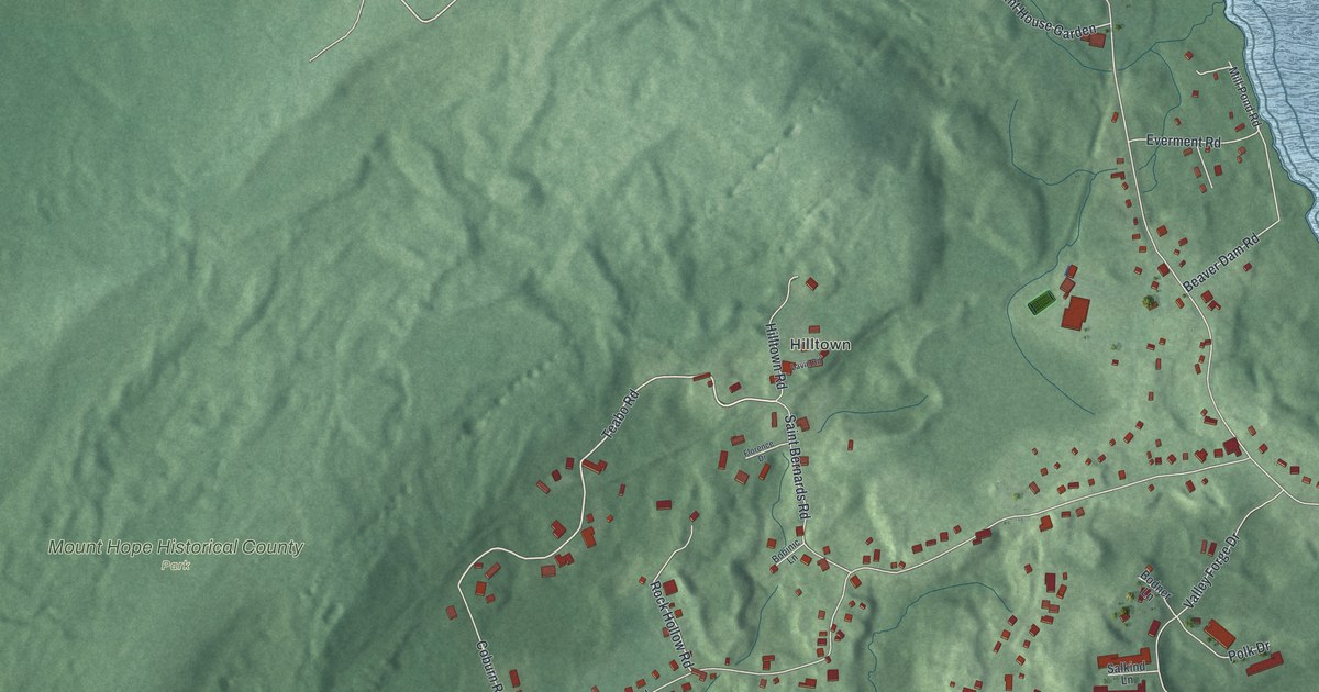
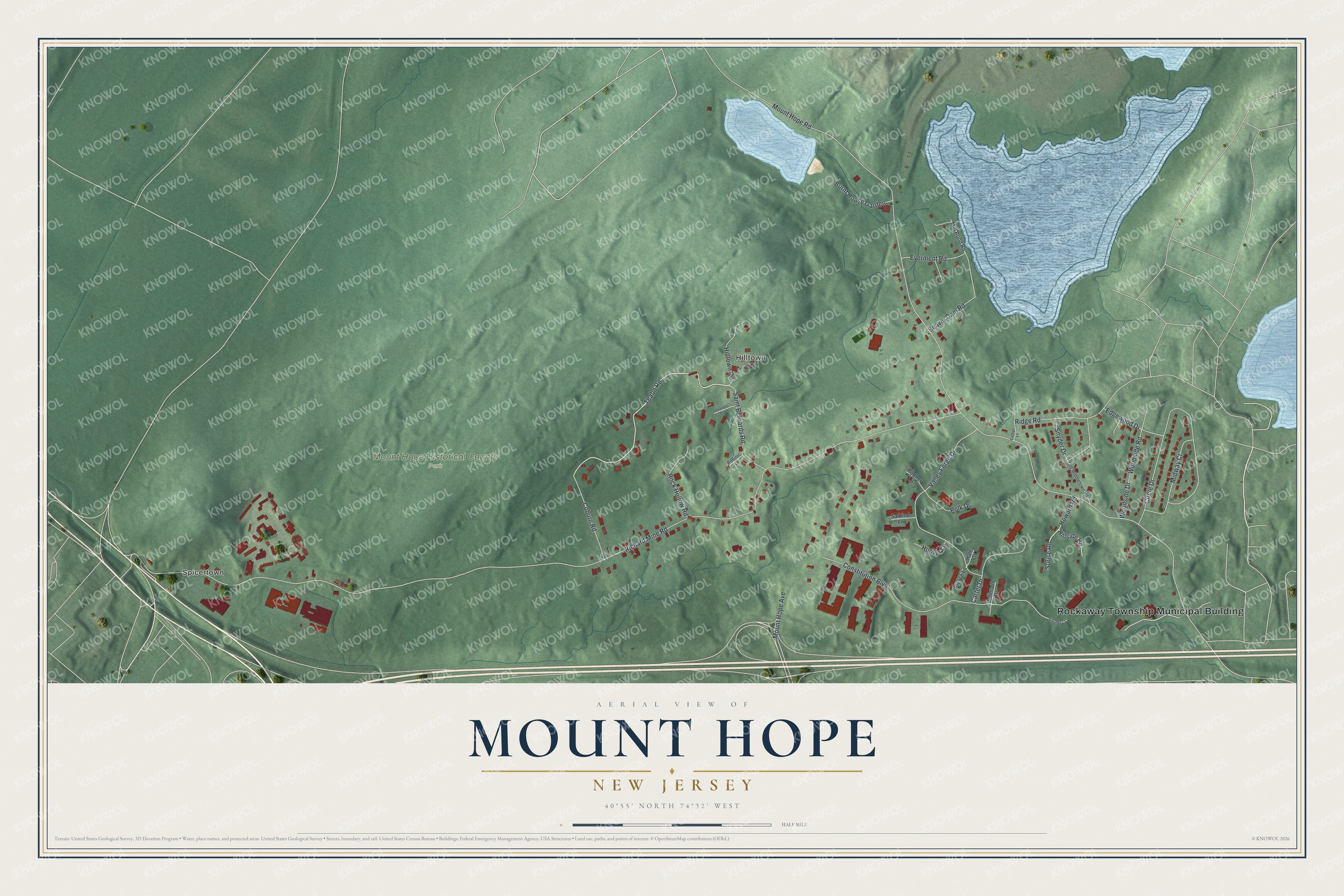
This beautifully detailed map of Mount Hope, New Jersey was created in 2026 using aerial imagery combined with modern topographical, census, street and landmark data. It's a modern aerial view of Mount Hope in Morris County, New Jersey, that combines modern data with a vintage aesthetic. The roads feature printed names, and if you look closely you can find your exact house accurately shown in its correct location.
Explore an aerial view of Mount Hope, New Jersey
On this map you'll find Rockaway Township Municipal Building, Spicertown, Hilltown, Mount Hope Historical County Park, Teabo Road, Surise Road, Richard Mine Road, Mount Hope Road, Constitution Boulevard, Circle Drive, Valley Forge Drive, Saint Bernards Road, and more. Each red shape is a building, so zoom in on the preview and look for yours.
Here is a piece of Mount Hope history, in the words of the record. The New York-New Jersey Trail Conference puts it this way: "Mount Hope Historical Park was once a booming iron mining and processing site. It forms a part of the original Mount Hope Tract, first developed by John Jacob Faesch in 1772." The land was split among three owners, who worked the Teabo, Allen and Richard mines on three veins of ore.
Mount Hope is a community in Morris County. The Census Bureau counted 2,930 people here in 2020.
Take a closer look at the Mount Hope map
Names on this map
These names are printed on this map.
Places: Rockaway Township Municipal Building, Spicertown, Hilltown and Mount Hope Historical County Park.
Streets and roads: Teabo Road, Surise Road, Richard Mine Road, Mount Hope Road, Constitution Boulevard, Circle Drive, Valley Forge Drive, Saint Bernards Road, Mount Hope Avenue, Beaver Dam Road, Midway Court, Carter Drive.
More street names, A to Z
Bobinic Lane, Bodner Lane, Burnt House Garden, Cathys Lane, Coburn Road, Edgewood Drive, Everment Road, Fischer Court, Florence Drive, Hale Drive, Hillside Road, Hilltown Road, Hoover Lane, Howard Road, Johnson Drive, Lavin Road, Mill Pond Road, Old Middletown Road, Pierce Lane, Polk Drive, Ridge Road, Rock Hollow Road, Salkind Lane, Snyder Drive, Woodside Drive, Woodside Road.
See it on a wall
The Mount Hope map as a framed print. Swipe for more.


Created by KNOWOL in 2026. The buildings are small red shapes, the roads carry their printed names, and shaded relief shows the shape of the land. The title panel reads "AERIAL VIEW OF MOUNT HOPE, NEW JERSEY" with 40°55' NORTH 74°32' WEST.
It suits a den, a classroom or a front hall, and it makes a gift for anyone with Mount Hope roots. Open the preview and find the block you know. See sizes and frames for the Mount Hope map.