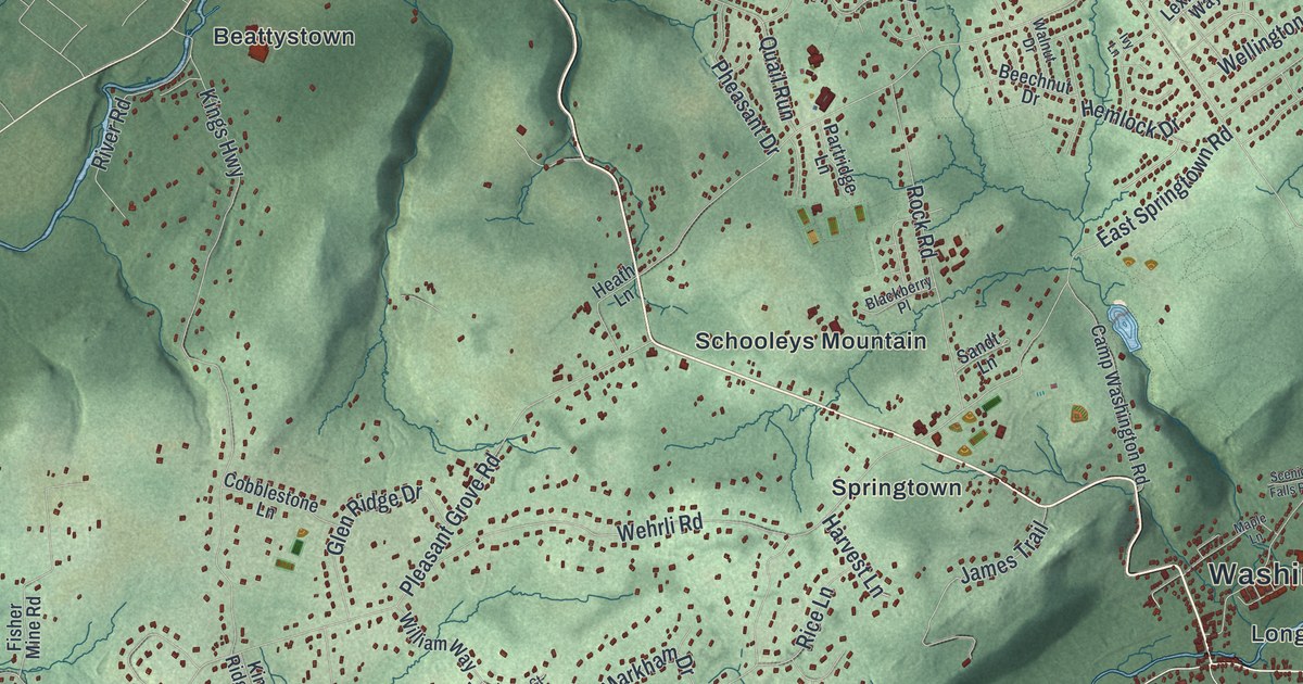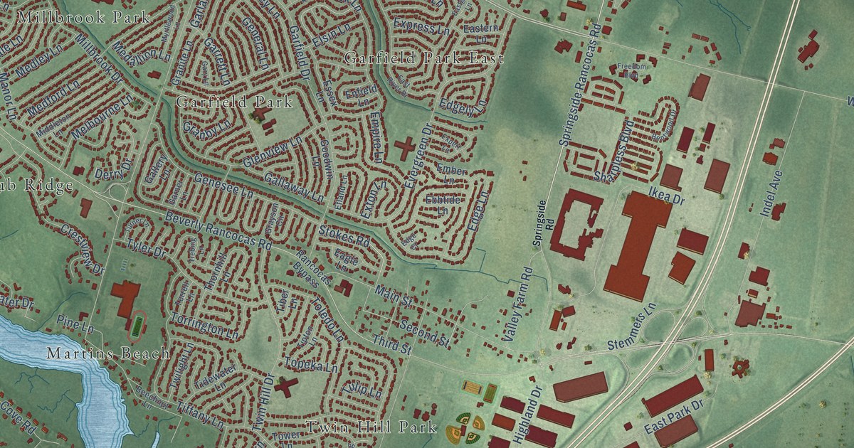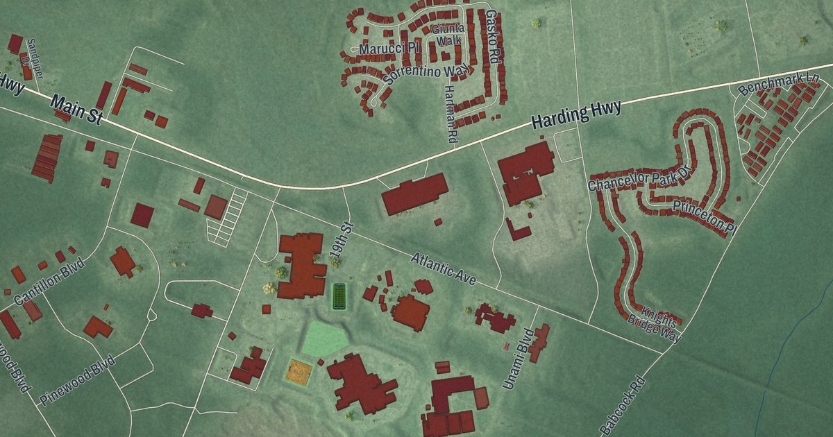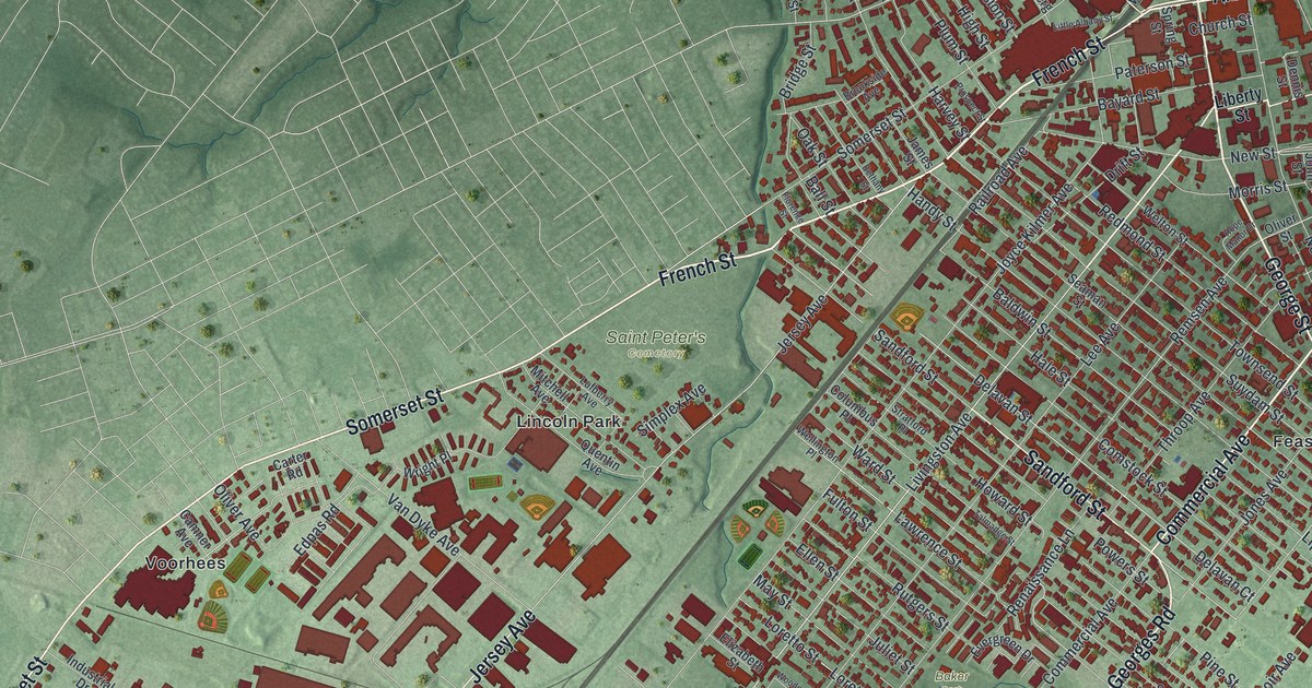
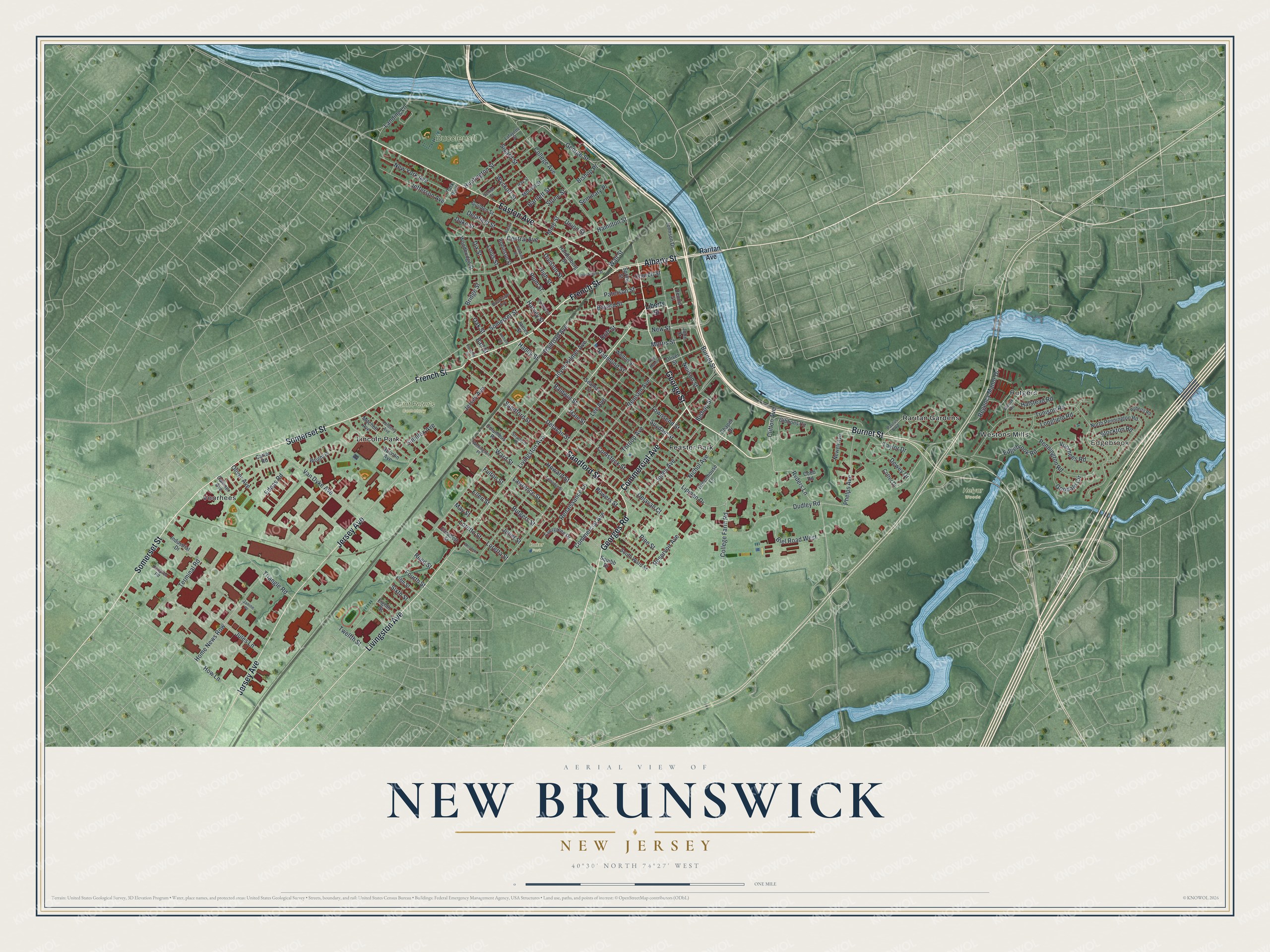
This beautifully detailed map of New Brunswick, New Jersey was created in 2026 using aerial imagery combined with modern topographical, census, street and landmark data. It’s a one-of-a-kind view of New Brunswick that combines accurate data with a vintage aesthetic. The map shows every building in its true location, many of the roads carry their names, and the shaded topographic relief shows the shape of the land.
Explore an aerial view of New Brunswick, New Jersey
On the map you’ll find Edgebrook, Feaster Park, Lincoln Park, Raritan Gardens, Rutgers, Buccleuch Park, Saint Peter’s Cemetery, and Baker Park, along with George Street, French Street, Commercial Avenue, Easton Avenue, Somerset Street, and more. If you look closely you can even find your house accurately drawn in its correct location. Zoom in on the preview to look for yours.
Did You Know?
The college that became Rutgers held its first classes in New Brunswick in 1771. They met in a tavern called the Sign of the Red Lion. There was one teacher, one sophomore and a few freshmen. That sophomore, Matthew Leydt, became the first graduate in 1774, alone in his class.
Take a closer look at the New Brunswick map
Names on this map
These names are printed on this map.
Places: Edgebrook, Buccleuch Park, Helyar Woods, Saint Peter's Cemetery, Baker Park, Feaster Park, Lincoln Park, Raritan Gardens, Rutgers, Voorhees and Westons Mills.
Streets and roads: George Street, French Street, Commercial Avenue, Easton Avenue, Somerset Street, Georges Road, Sandford Street, Burnet Street, Jersey Avenue, Livingston Avenue, Albany Street, Clifton Avenue.
More street names, A to Z
Baldwin Street, Ball Street, Bartlett Street, Bayard Street, Bethany Street, Biel Road West, Bishop Place, Bishop Street, Bridge Street, Bristol Street, Brookside Avenue, Camner Avenue, Carter Road, Central Avenue, Chapel Drive, Church Street, Cobb Road, College Avenue, College Farm Road, Columbus Place, Comstock Street, Cotter Drive, Delafield Street, Delavan Court, Delavan Street, Dennis Street, Dewey Drive, Division Street, Dix Street, Drift Street, Dudley Road, Duke Street, Edgebrook Road, Edpas Road, Eighth Street, Elizabeth Street, Ellen Street, Evergreen Drive, Fifth Street, Florence Street, Fourth Street, Fulton Street, Gibbons Circle, Goodale Circle, Greenhouse Lane, Guilden Street, Hale Street, Halstead Road, Hamilton Street, Hampton Road, Handy Street, Hardenberg Street, Hartwell Street, Harvey Street, High Street, Home News Row, Hope Manor Drive, Howard Street, How Lane, Huntington Street, Industrial Drive, James Street, Janine Place, Jefferson Avenue, Johnson Drive, John Street, Jones Avenue, Joyce Kilmer Avenue, Jules Lane, Juliet Street, Lafayette Street, Landing Lane, Lawrence Street, Lee Avenue, Liberty Street, Lipman Drive, Little Albany Street, Longfield Road, Loretta Street, Loretto Street, Louis Street, Lufberry Avenue, May Street, Mine Street, Mitchell Avenue, Morrell Street, Morris Street, Neilson Street, Newell Avenue, New Street, New York Avenue, Nichol Avenue, North Pennington Road, Oak Street, Oliver Avenue, Oliver Street, Park Boulevard, Paterson Street, Paulus Boulevard, Pennington Road, Phelps Avenue, Pine Street, Plum Street, Powers Street, Prospect Street, Quentin Avenue, Railroad Avenue, Raritan Avenue, Ray Street, Redmond Street, Reed Street, Regency Manor Drive, Remsen Avenue, Renaissance Lane, Reservoir Avenue, Roberts Road, Robinson Street, Rutgers Street, Ryders Lane, Seaman Street, Seminary Place, Senior Street, Sicard Street, Simplex Avenue, Sixth Street, South Ward Street, Spring Street, Squibb Drive, Stockton Road, Stone Street, Stratford Place, Suydam Street, Talmadge Street, Taylor Drive, Terminal Road, Throop Avenue, Townsend Street, Triangle Road, Tunison Road, Twelfth Street, Union Street, Van Dyke Avenue, Voorhees Road, Wall Street, Ward Street, Wellington Place, Welton Street, Wilcox Road, Woodbridge Street, Woodnor Court, Wright Place, Wyckoff Street.
See it on a wall
The New Brunswick map as an 18 x 24 inch print in a black frame.

This beautifully detailed map of New Brunswick makes an attractive addition to your office, library, or den, and it can even be used to teach children the geography and history of the area. It also makes a great gift for anyone who grew up in New Brunswick or moved away. When you’re done exploring, click here to get your copy of the New Brunswick map.