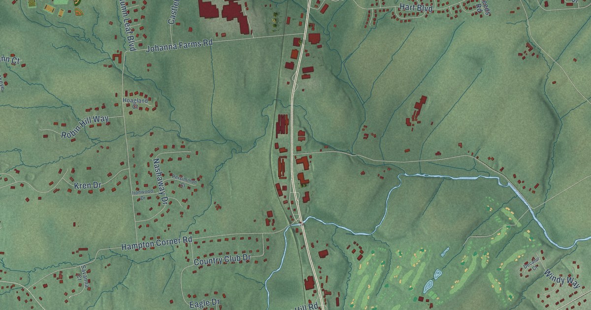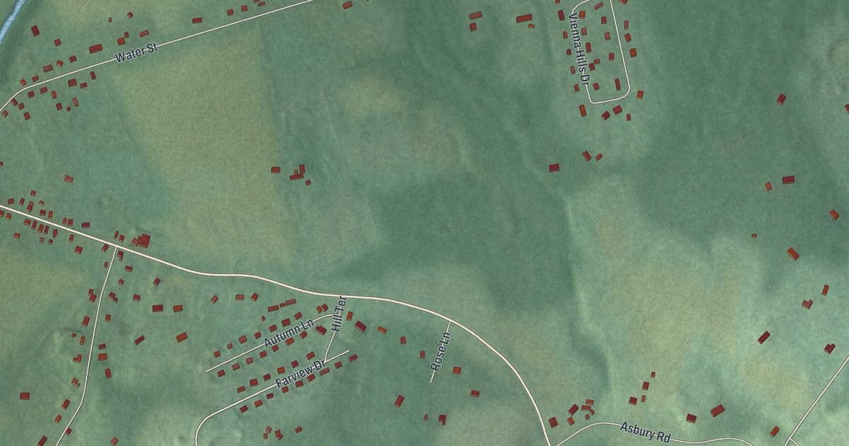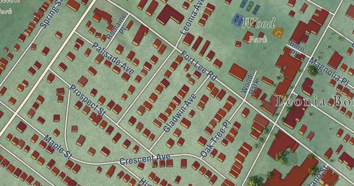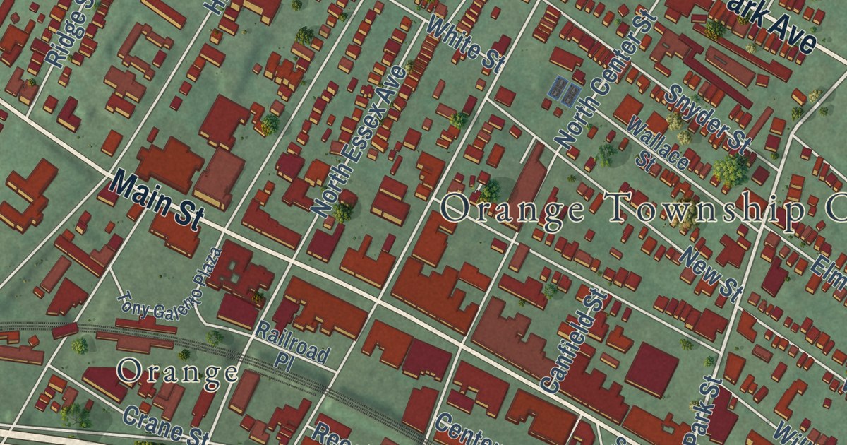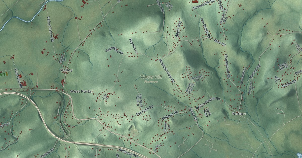
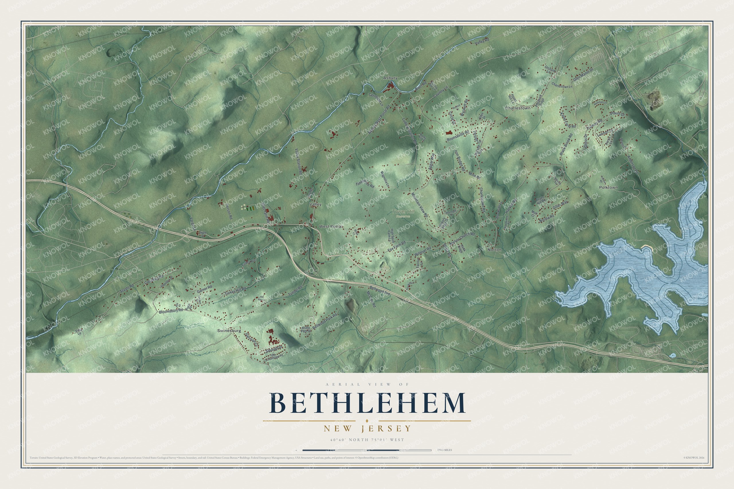
This beautifully detailed map of Bethlehem, New Jersey was created in 2026 using aerial imagery combined with modern topographical, census, street and landmark data. It’s a one-of-a-kind view of Bethlehem that combines accurate data with a vintage aesthetic. The map shows every building in its true location, many of the roads carry their names, and the shaded topographic relief shows the shape of the land.
Explore an aerial view of Bethlehem, New Jersey
On the map you’ll find Tower Hill Reserve, Asbury, Charlestown, Norton, Polktown, Swinesburg, Valley, and West Portal, along with Fox Farm Road, Strotz Road, Mine Road, Thrush Lane, and more. If you look closely you can even find your house accurately drawn in its correct location. Zoom in on the preview to look for yours.
Did You Know?
The township is named for the city of Bethlehem. It appears in official records as early as 1730. In 1798 it became one of New Jersey’s first 104 townships. Alexandria, Union and Kingwood, along with Bloomsbury and Glen Gardner, were all later carved from its land.
Take a closer look at the Bethlehem map
Names on this map
These names are printed on this map.
Places: Tower Hill Reserve, Asbury, Charlestown, Norton, Polktown, Swinesburg, Valley and West Portal.
Streets and roads: Fox Farm Road, Strotz Road, Mine Road, Thrush Lane, River Road, Charlestown Road, Asbury West Portal Road, Black Brook Road, Tunnel Road, Turkey Hill Road, Bloomsbury Road, Hackett Road.
More street names, A to Z
Allen Drive, Alpaugh Drive, Anderson Road, Apgar Way, Bellwood Avenue, Bellwood Park Road, Birch Lane, Bridle Path Drive, Brookside Lane, Charlestown Lane, Circle Drive, Cornfield Lane, Country Lane, Creveling Road, Dervin Lane, Devonald Drive, Diller Way, Farrow Lane, Fox Hill Lane, Garner Road, Garrison Court, Glen Manor Drive, Gross Drive, Haven Hill Lane, Hawk Ridge, Hickory Ridge Drive, High Spirit Farm Lane, Hillside Terrace, Hill View Lane, Hoffman Lane, Iron Bridge Road, Johnston Drive, Kalan Farm Road, Lannon Lane, Ludlow Station Road, Magnolia Lane, McCrea Road, Morning Star Lane, Mott Court, Mountain View Road, Norma Road, Norton Church Road, Old Schoolhouse Road, Orchard Lane, Overlook Road, Person Road, Pfauth Drive, Pheasant Ridge, Pine Court, Polktown Road, Poplar Road, Rockhill Drive, Rocky Hill Lane, Rounsaville Road, Shanti Lane, Skyland Way, Snyder Lane, Staats Road, State Street, Thads Hill Road, Thomas Road, Timberline Road, Turkey Run, Valley Road, Valley Station Road, Vargo Lane, Vista Lane, Vliet Farm Road, Willever Road, Woodbrook Road, Wyckoff Road.
See it on a wall
The Bethlehem map as an 18 x 24 inch print in a black frame.

This beautifully detailed map of Bethlehem makes an attractive addition to your office, library, or den, and it can even be used to teach children the geography and history of the area. It also makes a great gift for anyone who grew up in Bethlehem or moved away. When you’re done exploring, click here to get your copy of the Bethlehem map.