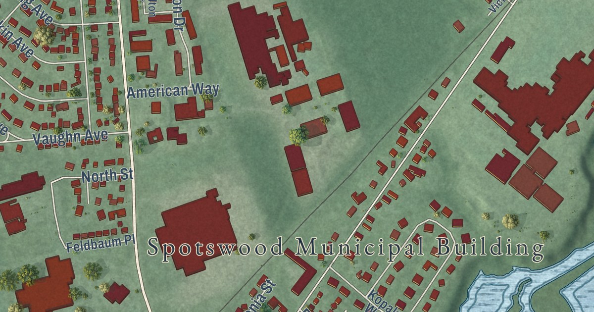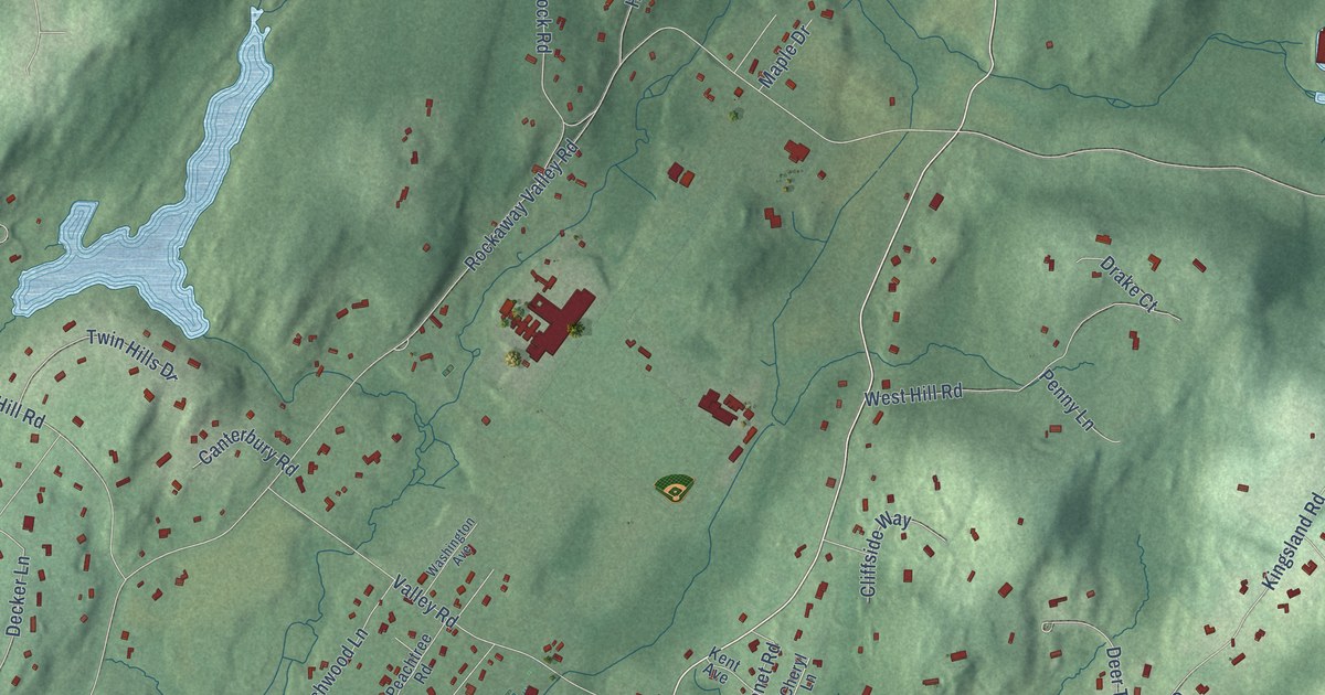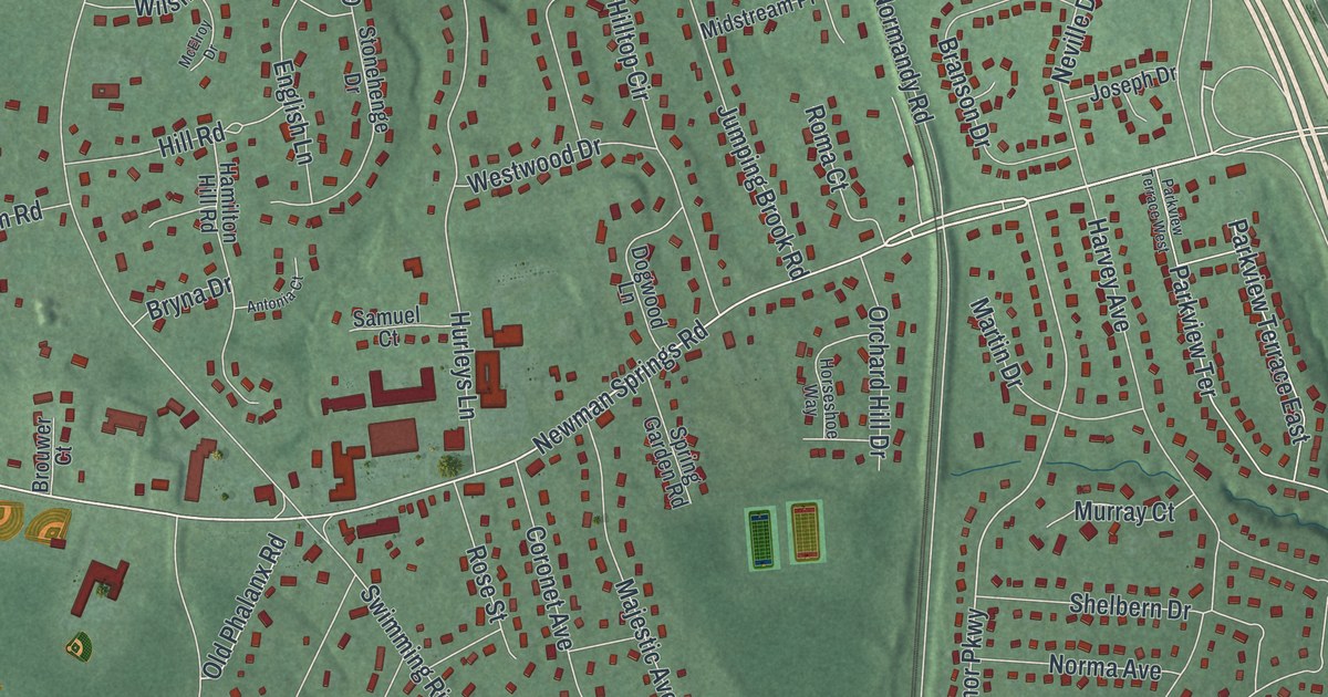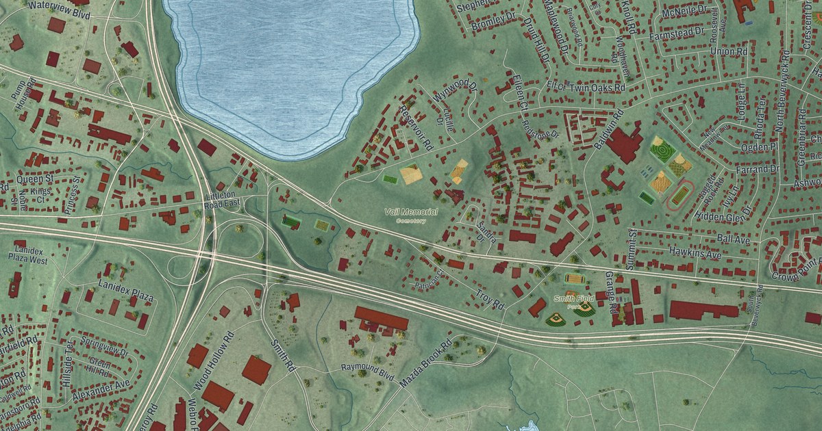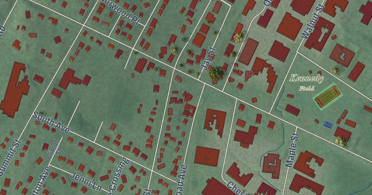
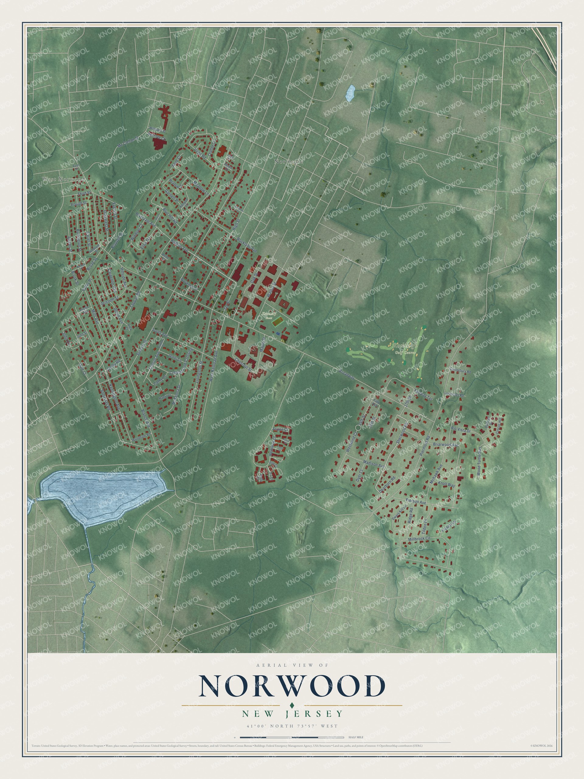
This beautifully detailed map of Norwood, New Jersey was created in 2026 using aerial imagery combined with modern topographical, census, street and landmark data. It’s a one-of-a-kind view of Norwood that combines accurate data with a vintage aesthetic. The map shows every building in its true location, many of the roads carry their names, and the shaded topographic relief shows the shape of the land.
Explore an aerial view of Norwood, New Jersey
On the map you’ll find West Norwood and Northvale, along with Sherwood Road, Clinton Avenue, Tappan Road, Hudson Avenue, Livingston Street, and more. If you look closely you can even find your house accurately drawn in its correct location. Zoom in on the preview to look for yours.
Did You Know?
About 1686, twelve or more families settled the area that became Norwood. Most came from the Dutch Republic and bought their land through the Tappan Patent. The name Norwood grew out of an early way of describing the place as the North-Woods. Norwood split from Harrington Township to form a separate borough on March 14, 1905.
Take a closer look at the Norwood map
Names on this map
These names are printed on this map.
Places: West Norwood, Rockleigh Golf Course, Kennedy Field and Northvale.
Streets and roads: Sherwood Road, Clinton Avenue, Tappan Road, Hudson Avenue, Broadway, Livingston Street, Summit Street, Blanch Avenue, Piermont Road, Hemlock Court, High Street, Kensington Avenue.
More street names, A to Z
14th Street, 15th Street, 17th Street, Adams Street, Anne Court, Aspen Court, Austin Avenue, Beech Court, Belden Place, Belle Court, Blauvelt Street, Blue Hill Road, Briarwood Avenue, Broad Street, Brook Street, Burlington Street, Canterbury Road, Carpenter Avenue, Carter Street, Cathy Court, Cedar Court, Chaffee Circle, Chestnut Street, Clinton Street, Cobblestone Crossing, Crocus Hill, Daffodil Drive, Dale Court, Dearborn Road, Demarest Street, Derby Road, Dercole Court, Dwars Kill Lane, Dyer Court, Elm Court, Eton Terrace, Everett Street, Fairway Terrace, Fifth Avenue, Fir Court, First Street, Fourth Street, Frasco Lane, Garnett Place, Glenn Avenue, Grissom Street, Hazel Court, Helen Court, Hillside Avenue, Holdrum Street, Holly Court, Janice Drive, Jay Street, Jenni Lane, John Circle, John Street, Kenyon Court, Knoll Way, Lamb Court, Lancaster Road, Madison Avenue, Maple Street, Mc Clellan Street, McKenna Drive, Meadow Court, Meadow Lane, Millbrook Circle, Mills Avenue, Mohawk Avenue, Norwood Place, Oak Street, Pierson Avenue, Ridge Road, Rio Vista Drive, Rivervale Avenue, Rockland Avenue, Somerset Road, South Avenue, Third Street, Tilden Place, Valley Place, Villa Court, Virgil Road, Walnut Street, West Railroad Avenue, Westwind Court, Williams Street, Windsor Court, Winthrop Street, Wood Turtle Run, Wyndham Road.
See it on a wall
The Norwood map as an 18 x 24 inch print in a black frame.

This beautifully detailed map of Norwood makes an attractive addition to your office, library, or den, and it can even be used to teach children the geography and history of the area. It also makes a great gift for someone who left Norwood and still calls it home. When you’re done exploring, click here to get your copy of the Norwood map.