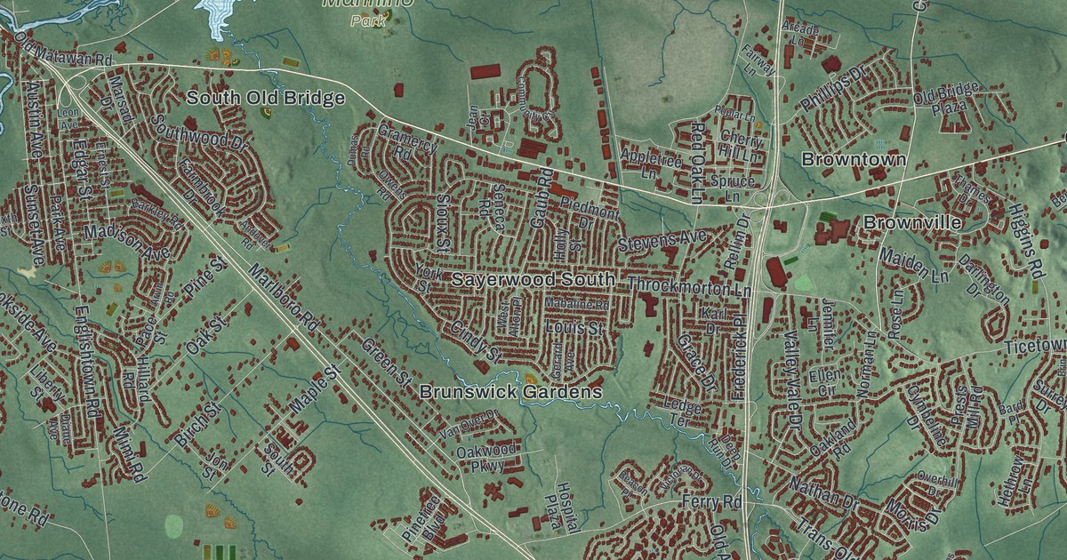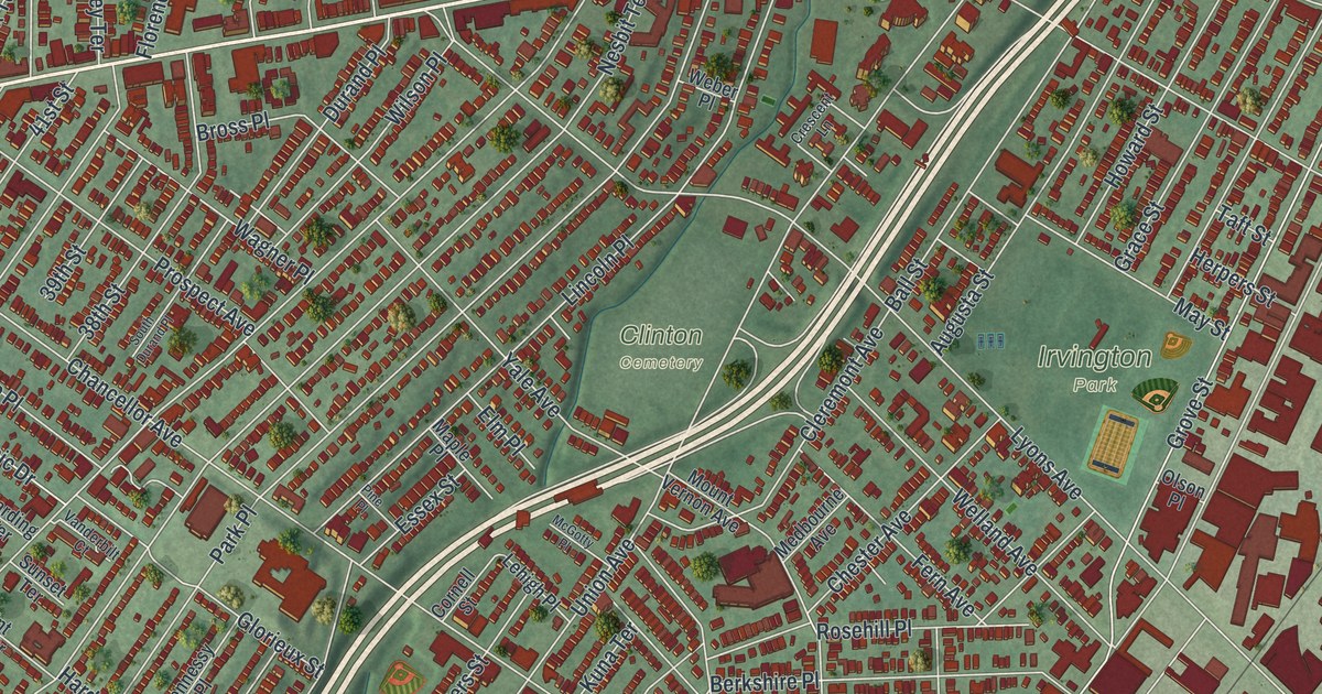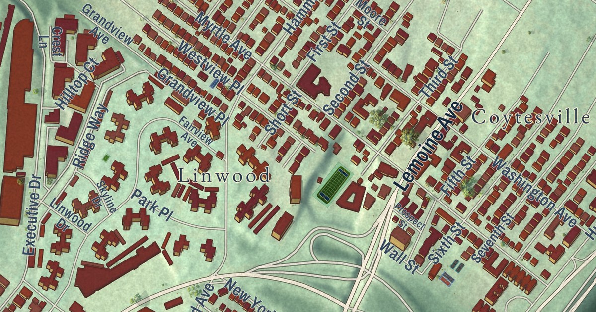
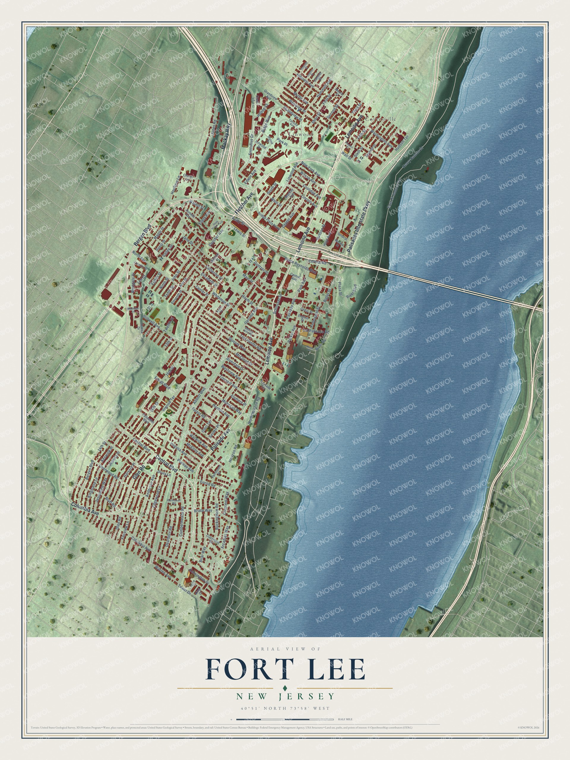
This beautifully detailed map of Fort Lee, New Jersey was created in 2026 using aerial imagery combined with modern topographical, census, street and landmark data. It’s a one-of-a-kind view of Fort Lee that combines accurate data with a vintage aesthetic. The map shows every building in its true location, many of the roads carry their names, and the shaded topographic relief shows the shape of the land.
Explore an aerial view of Fort Lee, New Jersey
On the map you’ll find Coytesville and Linwood, along with Lemoine Avenue, Palisades Interstate Parkway, Central Boulevard, Bergen Boulevard, Palisade Avenue, Mackay Highway, Glen Road, Columbia Avenue, Fletcher Avenue, Park Avenue, and more. If you look closely you can even find your house accurately drawn in its correct location. Zoom in on the preview to look for yours.
Did You Know?
The borough takes its name from General Charles Lee. George Washington’s troops camped at Mount Constitution above Burdett’s Landing to defend New York City. During Washington’s retreat in November 1776, Thomas Paine wrote The American Crisis here. Its famous first line speaks of the times that try men’s souls.
Take a closer look at the Fort Lee map
Names on this map
These names are printed on this map.
Places: Coytesville and Linwood.
Streets and roads: Lemoine Avenue, Palisades Interstate Parkway, Central Boulevard, Bergen Boulevard, Palisade Avenue, Mackay Highway, Glen Road, Columbia Avenue, Fletcher Avenue, Park Avenue, Kelby Street, Central Road.
More street names, A to Z
13th Street, 14th Street, 15th Street, 16th Street, Abbott Boulevard, Anderson Avenue, Ann Street, Arcadian Way, Aston Terrace, Beverly Hills Road, Bigler Street, Bluff Road, Briar Way, Bridge Plaza North, Bridle Way, Bruce Reynolds Boulevard, Buckingham Road, Camner Street, Catherine Street, Cedar Street, Center Avenue, Center Street, Central Avenue, Church Lane, Claremont Road, Coolidge Avenue, Crescent Way, Crest Lane, Cumbermeade Road, Dearborn Road, Deerwood Road, Dorincourt Road, Drury Lane, East Of Hudson Terrace, Edgewood Lane, Edsall Boulevard, Edwin Avenue, Eighth Street, Eleventh Street, Elizabeth Street, Ellery Avenue, Elsmere Place, English Street, Euclid Road, Executive Drive, Fairmount Place, Fairview Avenue, Fairview Lane, Federspiel Street, Fifth Street, First Street, Forest Road, Gerome Avenue, Grandview Avenue, Grandview Place, Guntzer Street, Hammett Avenue, Harmon Avenue, Harvard Place, Henry Hudson Drive, Hillcrest Avenue, Hilltop Court, Hoefleys Lane, Horizon Road, Hoym Street, Hoyt Avenue, Hudson Street, Hudson Terrace, Inwood Terrace, Jane Street, Jassamine Way, John Street, Jones Road, Juanita Place, Kensington Drive, Keswick Place, King Court, Kingsland Lane, Lee Court, Leighton Street, Lenox Court, Lewis Street, Lincoln Avenue, Linwood Avenue, Linwood Drive, Lynette Drive, Mackay Avenue, Madeline Lane, Main Street, Maple Street, Massa Lane, McCloud Drive, McElroy Avenue, Merkle Street, Mohegan Way, Moore Street, Myrtle Avenue, New York Avenue, Ninth Street, North Avenue, North Horizon Road, Old Palisade Road, Oleri Terrace, Palisades Boulevard, Palisade Terrace, Parker Avenue, Park Place, Plateau Avenue, Plaza Street, Ponsi Street, Prospect Street, Ridge Way, River Boulevard, Riverdale Drive, River Road, Rossett Street, Schlosser Street, Second Street, Selden Place, Seventh Street, Short Street, Sixth Street, Skyline Drive, Slocum Way, South Bridge Plaza, South Street, Stillwell Avenue, Summit Avenue, Sylvan Street, Tenth Street, Teresa Drive, Third Street, Tom Hunter Road, Tower Drive, Tremont Avenue, Twelfth Street, Valley Street, Virginia Avenue, Wall Street, Walnut Street, Warren Avenue, Warwick Avenue, Washington Avenue, Westgate Drive, West Street, Westview Avenue, Westview Place, Whiteman Street, William Street, Wilson Avenue.
See it on a wall
The Fort Lee map as an 18 x 24 inch print in a black frame.

This beautifully detailed map of Fort Lee makes an attractive addition to your office, library, or den, and it can even be used to teach children the geography and history of the area. It also makes a great gift for anyone who grew up in Fort Lee or moved away. When you’re done exploring, click here to get your copy of the Fort Lee map.