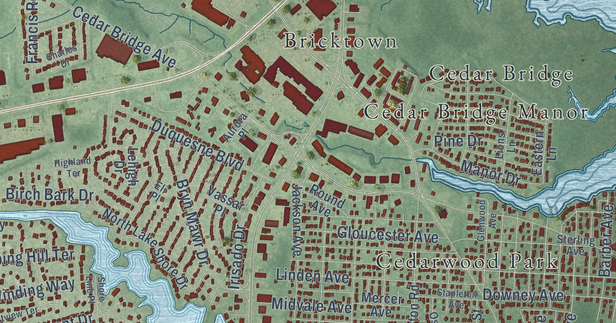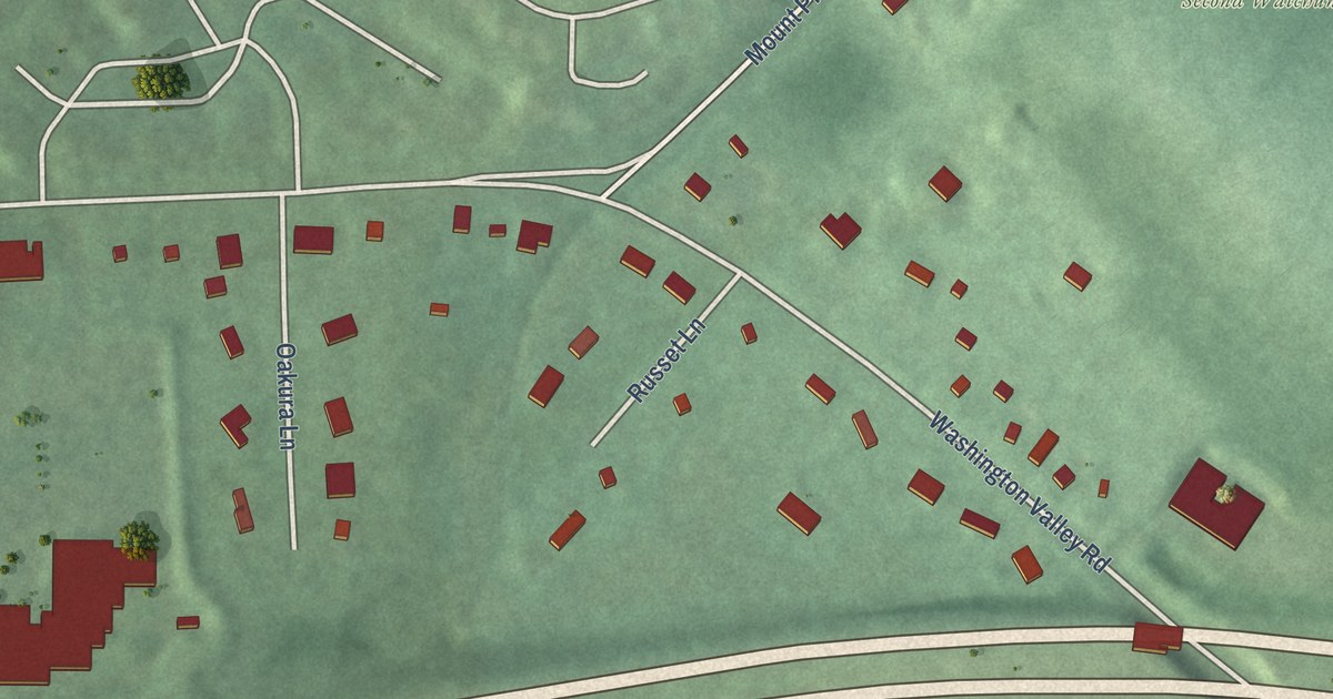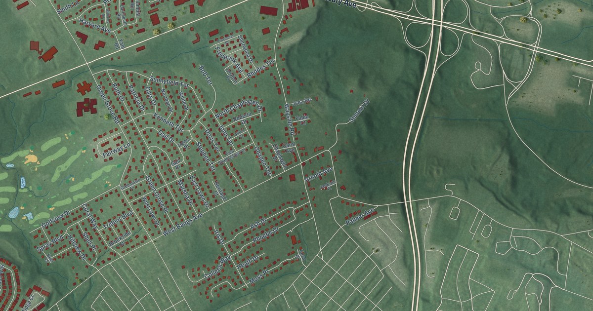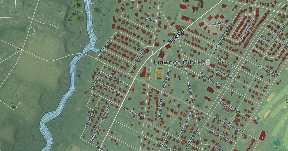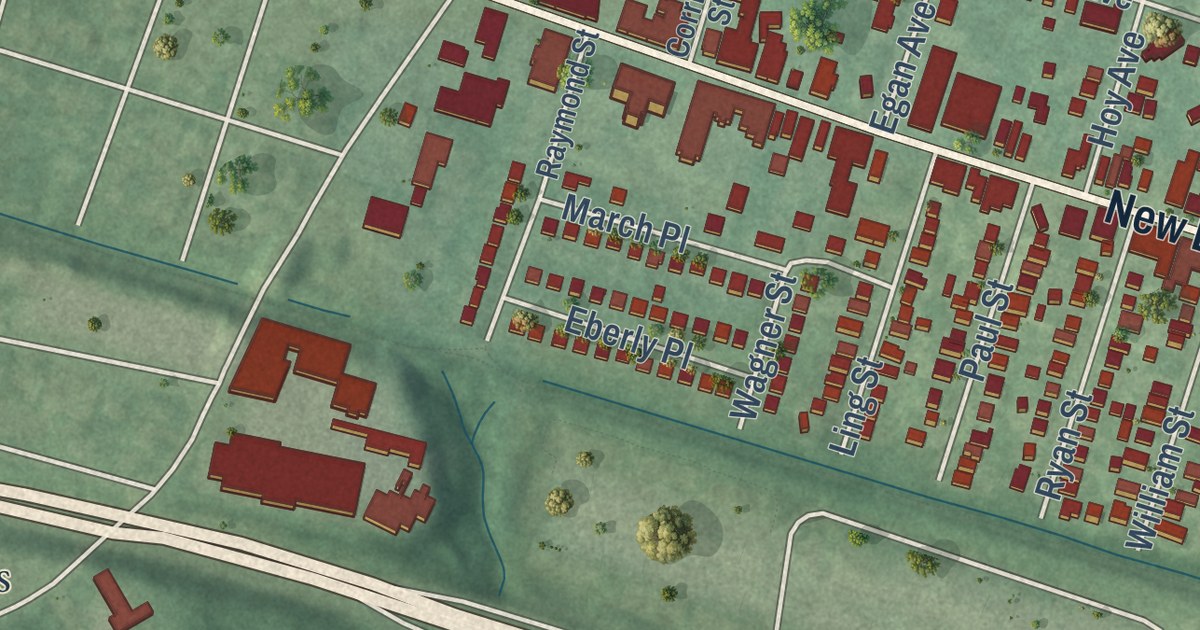
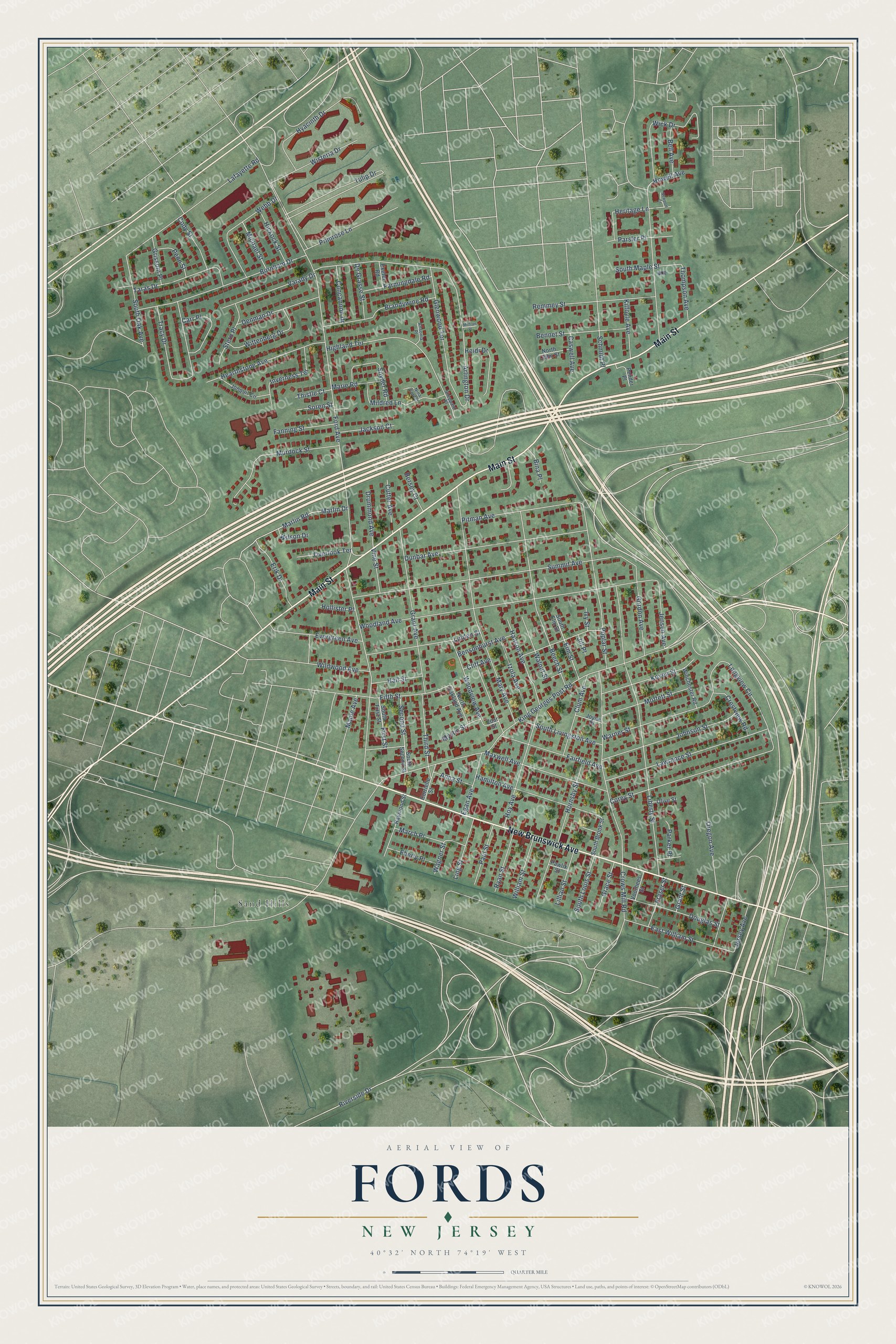
This beautifully detailed map of Fords, New Jersey was created in 2026 using aerial imagery combined with modern topographical, census, street and landmark data. It’s a one-of-a-kind view of Fords that combines accurate data with a vintage aesthetic. The map shows every building in its true location, many of the roads carry their names, and the shaded topographic relief shows the shape of the land.
Explore an aerial view of Fords, New Jersey
On the map you’ll find Sand Hills, along with Main Street, New Brunswick Avenue, Fifth Street, Jensen Avenue, King Georges Post Road, Ford Avenue, Woodland Avenue, Liberty Street, Summit Avenue, Arlington Drive, Crows Mill Road, and more. If you look closely you can even find your house accurately drawn in its correct location. Zoom in on the preview to look for yours.
Take a closer look at the Fords map
Names on this map
These names are printed on this map.
Places: Sand Hills.
Streets and roads: Main Street, New Brunswick Avenue, Fifth Street, Jensen Avenue, King Georges Post Road, Ford Avenue, Woodland Avenue, Liberty Street, Summit Avenue, Arlington Drive, Crows Mill Road, Mary Avenue.
More street names, A to Z
Anna Street, Ansonia Place, Beech Street, Bell Avenue, Bennet Street, Bensonhurst Avenue, Bersey Court, Bina Place, Brandywine Road, Burnham Drive, Carr Place, Caswell Avenue, Cliff Avenue, Clum Avenue, Cody Street, Concannon Drive, Corey Street, Corrielle Street, Crestview Road, Cutter Avenue, De Grasse Street, Denman Drive, Douglas Street, Drummond Avenue, Dunbar Avenue, East William Street, Eberly Place, Egan Avenue, Elm Street, Erik Drive, Evergreen Avenue, Exeter Road, Fairfield Avenue, Fanning Street, Farmingdale Road, First Street, Fraser Street, Glenwood Terrace, Gordon Avenue, Grace Street, Grant Avenue, Grant Street, Grissom Place, Hall Street, Hamilton Avenue, Hanson Avenue, Hearthstone Avenue, Heidi Drive, Heritage Lane, Hickock Street, Highland Terrace, Hollister Place, Hornsby Street, Howell Avenue, Hoy Avenue, Hyacinth Drive, Inverness Terrace, Ivy Street, Izola Avenue, Jackson Court, Jersey Avenue, Jill Place, Johnson Street, Jonquil Circle, Joyce Place, Kilfoyle Avenue, Koyen Street, Lafayette Road, Lawrence Street, Lillian Street, Linden Street, Ling Street, Longview Circle, Maple Avenue, March Place, Marie Road, Marlin Drive, Marlin Road, Maxwell Avenue, Michael Street, Mildred Lane, Milfran Place, Moffett Street, Murdock Street, Mystic Street, Newport Court, Nina Corner, North John Street, North Oakland Avenue, Olive Street, Oregon Avenue, Overlook Terrace, Parker Place, Parsler Place, Paul Street, Pawlik Street, Pender Place, Penn Street, Pitman Avenue, Poplar Street, Primrose Lane, Raymond Street, Remmey Street, Riverside Drive, Ryan Street, Schmidt Place, Second Street, Sheppard Place, Snyder Road, Soren Street, South Brook Street, South Elm Street, South First Street, South Livingston Avenue, South Louis Street, South Maple Street, South Oak Avenue, South Second Street, Stern Place, Taras Drive, Third Street, Thistle Court, Thompson Avenue, Tracy Drive, Tulip Drive, Varady Drive, Vine Street, Voorhees Street, Wagner Street, Walnut Street, Warner Street, Webb Drive, Wick Drive, Wildwood Avenue, William Street, Wilson Drive, Winchester Road, Wisteria Drive, Wittenberg Drive, Woodview Avenue, Zoar Street.
See it on a wall
The Fords map as an 18 x 24 inch print in a black frame.

This beautifully detailed map of Fords makes an attractive addition to your office, library, or den, and it can even be used to teach children the geography and history of the area. It also makes a great gift for someone who left Fords and still calls it home. When you’re done exploring, click here to get your copy of the Fords map.