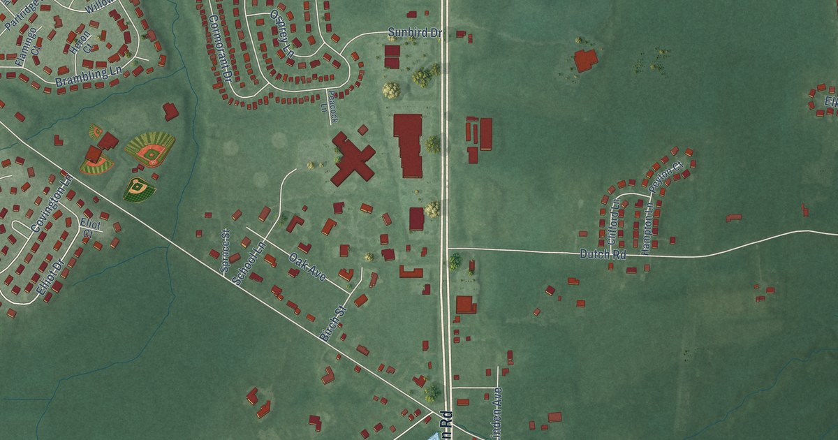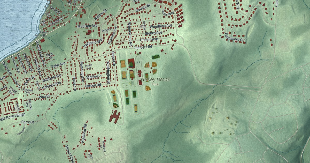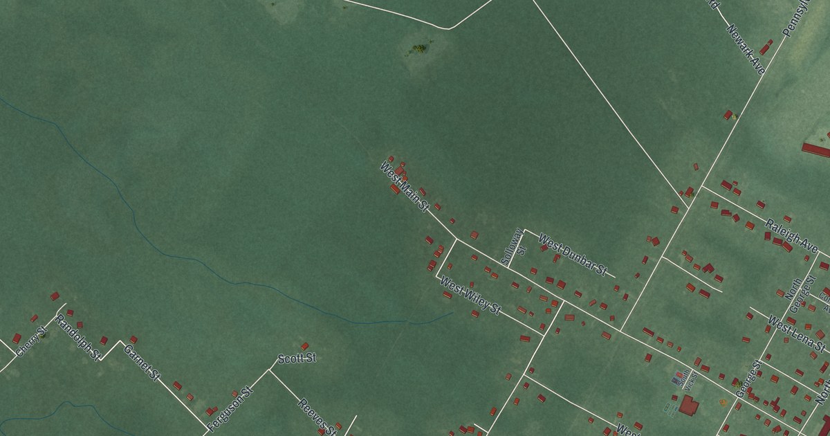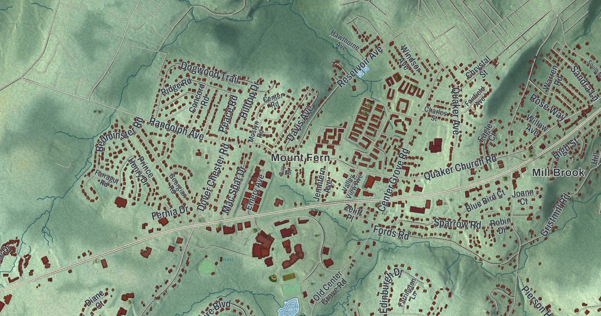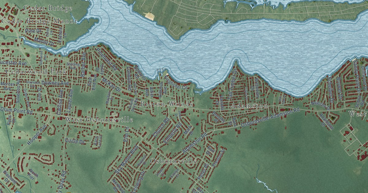
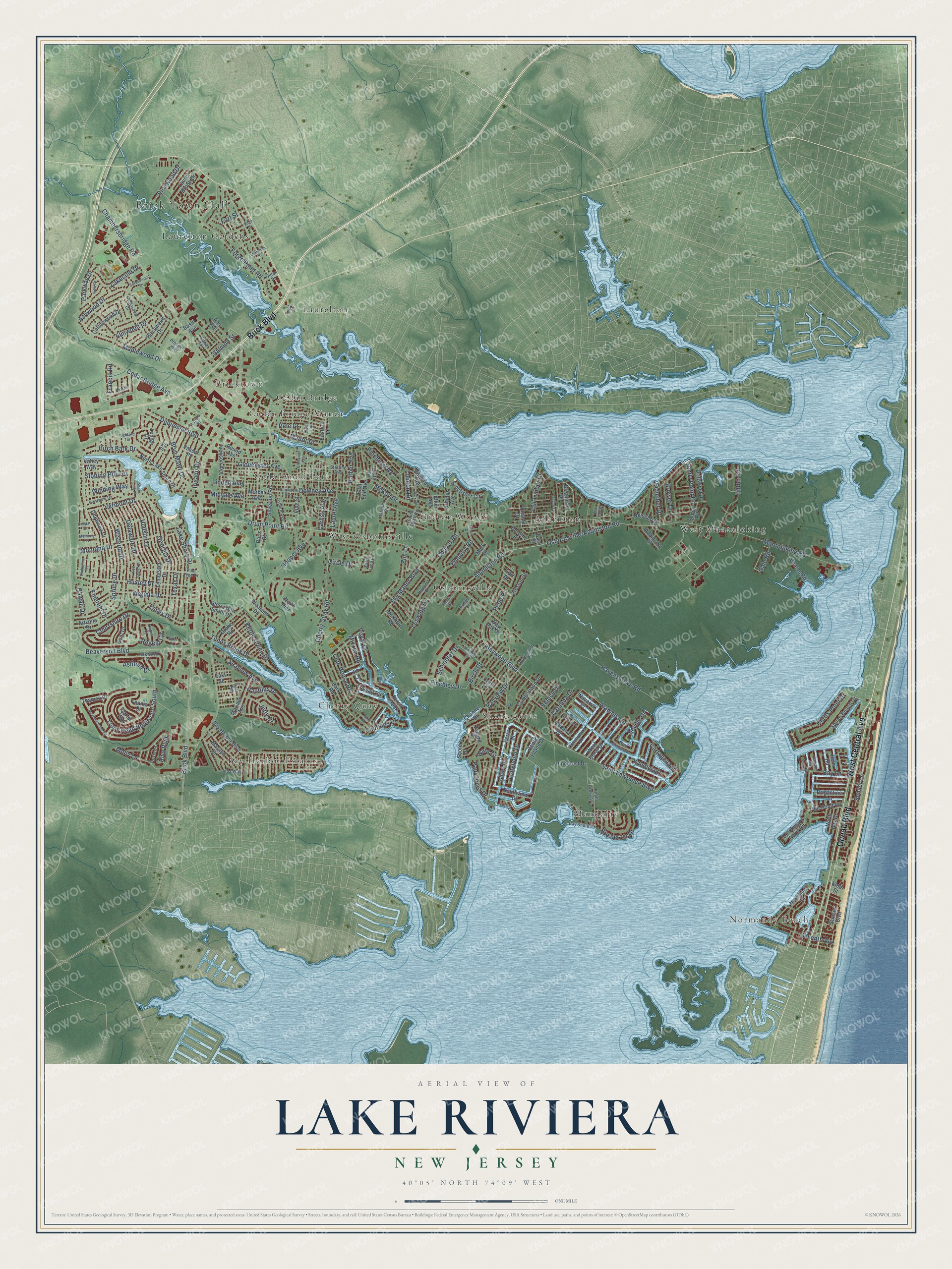
This beautifully detailed map of Lake Riviera, New Jersey was created in 2026 using aerial imagery combined with modern topographical, census, street and landmark data. It’s a one-of-a-kind view of Lake Riviera that combines accurate data with a vintage aesthetic. The map shows every building in its true location, many of the roads carry their names, and the shaded topographic relief shows the shape of the land.
Explore an aerial view of Lake Riviera, New Jersey
On the map you’ll find Brick Town Hall, Normandy Beach, Bay Harbor Estates, West Mantoloking, Osbornsville, Cedar Bridge Manor, Mandalay, Adamston, Cherry Quay, Laurelton Gardens, Breton Woods, Cedarwood Park, and more. If you look closely you can even find your house accurately drawn in its correct location. Zoom in on the preview to look for yours.
Take a closer look at the Lake Riviera map
Names on this map
These names are printed on this map.
Places: Brick Town Hall, Normandy Beach, Bay Harbor Estates, West Mantoloking, Osbornsville, Cedar Bridge Manor, Mandalay, Adamston, Cherry Quay, Laurelton Gardens, Breton Woods, Cedarwood Park, Shore Acres, West Osbornsville, Laurelton, Bricktown and Cedar Bridge.
Streets and roads: Brick Boulevard, West Central Avenue, Ocean Boulevard, Baywood Boulevard, Mantoloking Road, Hooper Avenue, Drum Point Road, Chambersbridge Road, Cedar Bridge Avenue, Lions Head Boulevard South, Birch Bark Drive, Adamston Road.
More street names, A to Z
Adamston Drive, Aida Way, Alameda Drive, Altier Avenue, Arbutus Avenue, Arizona Drive, Aschby Drive, Ashford Drive, Ashwood Drive, Aurora Place, Bara Street, Barber Avenue, Bark Road, Basin Avenue, Bass Road, Bay Harbor Boulevard, Bay Lane, Bay Oak Drive, Bay Shore Drive, Bayview Drive, Beaton Road, Beaverson Boulevard, Birch Drive, Birchwood Drive, Bretonian Drive, Brigantine Lane, Brower Drive, Bryn Mawr Drive, Burlington Drive, Cabana Drive, Captains Drive, Carlisa Avenue, Cartagena Drive, Carter Way, Catalina Drive, Cedar Island Drive, Channel Drive, Charles Drive, Cherry Quay Road, Church Road, Circle Drive, Club House Road, Coast Drive, Commodore Drive, Cottonwood Drive, Courtshire Drive, Crestview Terrace, Crystal Drive, Cumberland Drive, Curtis Point Drive, Delaware Drive, Devin Lane, Dock Road, Dock Street, Dogwood Drive, Dorothy Place, Downey Avenue, Drake Road, Driftwood Drive, Duquesne Boulevard, Dutchmans Point Road, Earl Drive, East End Avenue, Eastern Lane, East Street, Ebb Tide Drive, Edge Street, Edwards Road, Elder Street, Eli Place, Elm Lane, Elmwood Drive, Emberly Road, Emerald Drive, Essex Drive, Evelyn Court, Finchley Drive, Fisher Avenue, Forge Pond Road, Fort Street, Francis Road, Gale Road, Georgia Drive, Glenwood Avenue, Gloria Ann Smith Drive, Gloucester Avenue, Halsey Drive, Havens Cove Road, Hawaii Drive, Helm Road, Highland Terrace, Hollywood Drive, Hudson Drive, Huppert Drive, Huxley Drive, Irisado Drive, Jackson Avenue, Jetty Court, Jib Lane, Katie Lynn Court, Kent Drive, Kettle Creek Drive, Kingfisher Circle, Knoll Crest Avenue, Lakeland Drive, Lake Shore Drive, Laurel Avenue, Laurel Brook Drive, Laurelton Street, Lehigh Drive, Leswing Drive, Linden Avenue, Lions Lane, London Road, Longpoint Drive, Manor Drive, Maplewood Drive, Marilyn Drive, Mariner Avenue, Mark Drive, Mayfair Court, McKay Drive, Meadowbrook Road, Mercer Avenue, Midvale Avenue, Mizzen Road, Molly Lane, Montana Drive, Mulberry Place, Nautilus Drive, Navarra Drive, Nejecho Drive, Normandy Drive, North Bay Drive, North Lake Shore Drive, North Pier, Northrup Road, Olden Street, Osborn Avenue, Osbornsville-Adamston Road, Paris Court, Parkway Drive, Paul Jones Drive, Perch Creek, Perry Drive, Peter Place, Pier Avenue, Pinecrest Drive, Pine Drive, Pinehurst Road, Pine Tree Drive, Pinewood Drive, Pleasant Drive, Pointe Drive, Poppy Court, Port Road, Preston Street, Prosper Way, Red Cedar Drive, Regent Circle, Regent Court, Riva Boulevard, Rochester Drive, Round Avenue, Royal Drive, Saint Lawrence Boulevard, Salmon Street, Sandy Point Drive, Scheiber Drive, Schindler Drive, Scoop Road, Seaview Avenue, Seventh Avenue, Seville Drive, Shore Drive, Shore Line Place, Silverton Road, Sky Manor Boulevard, Sloping Hill Terrace, South Dock Road, Southview Drive, Spruce Drive, Sprucewood Drive, Squan Beach Drive, Stapleton Avenue, Sterling Avenue, Sunset Boulevard, Sunset Lane, Susan Drive, Tall Timber Drive, Taylor Drive, Tennessee Drive, Tennis Court, Texas Drive, Thames Place, Tide Pond Road, Tilton Road, Timberline Place, Topsail Road, Tudor Court, Tunes Brook Drive, Unity Drive, Valencia Drive, Valhalla Drive, Valley Way, Vanada Drive, Vanard Drive, Vassar Place, Venice Drive, Vermont Drive, View Drive, Vine Street, Virginia Drive, Ward Drive, West Coral Drive, West Esplanade, West Granada Drive, Winding Way, Wisteria Drive, Yorkwood Drive.
See it on a wall
The Lake Riviera map as a framed print. Swipe for more.


This beautifully detailed map of Lake Riviera makes an attractive addition to your office, library, or den, and it can even be used to teach children the geography and history of the area. It also makes a great gift for someone who left Lake Riviera and still calls it home. When you’re done exploring, click here to get your copy of the Lake Riviera map.