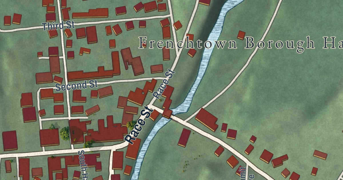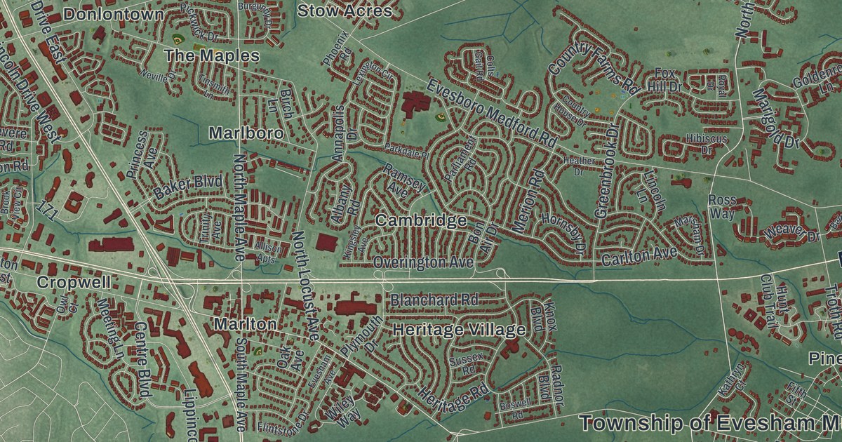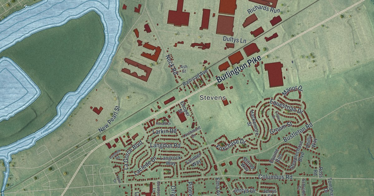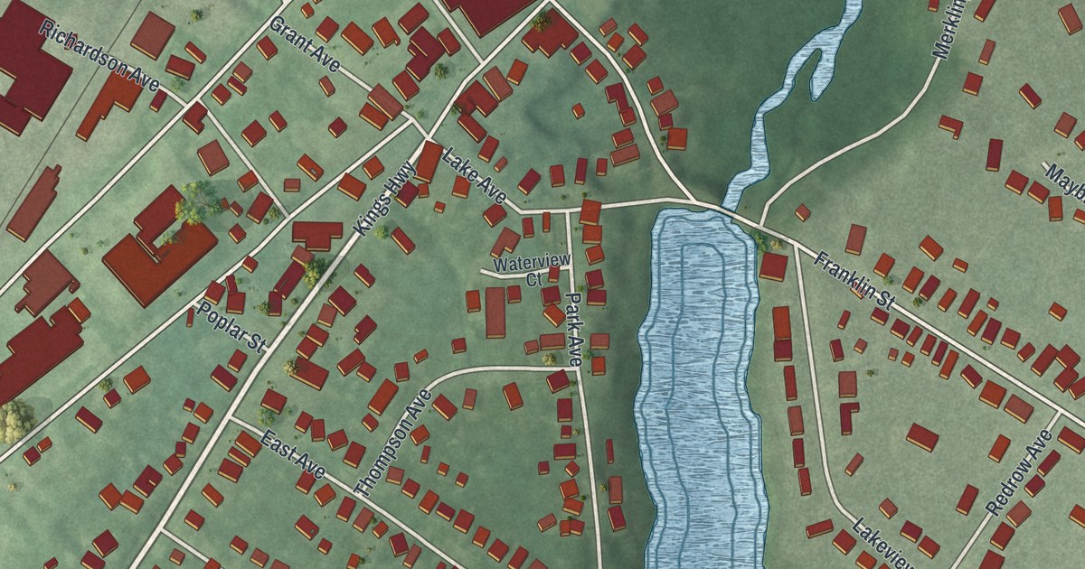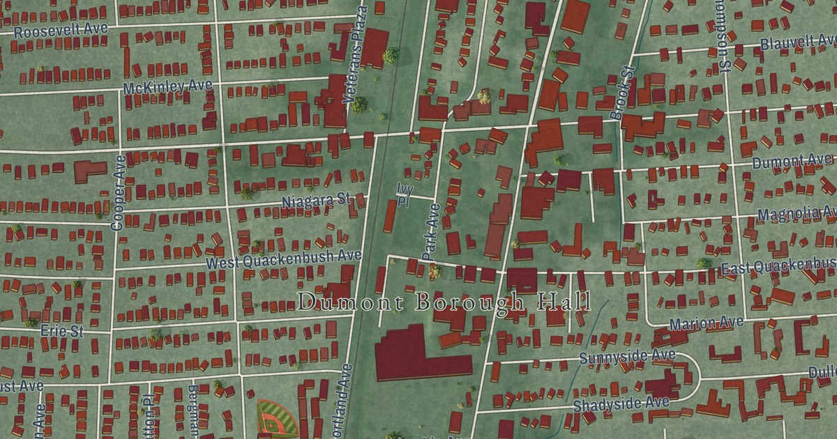
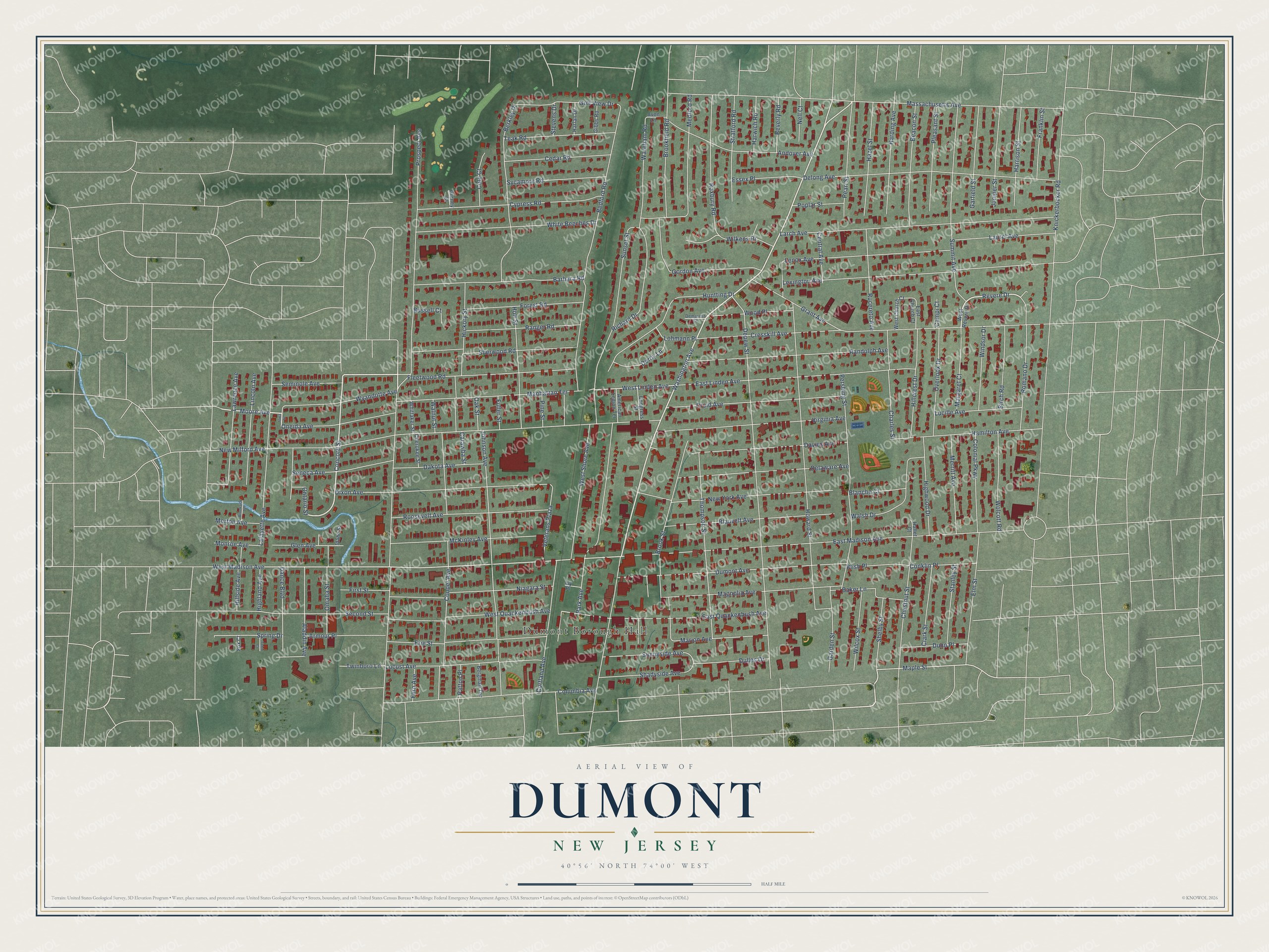
This beautifully detailed map of Dumont, New Jersey was created in 2026 using aerial imagery combined with modern topographical, census, street and landmark data. It’s a one-of-a-kind view of Dumont that combines accurate data with a vintage aesthetic. The map shows every building in its true location, many of the roads carry their names, and the shaded topographic relief shows the shape of the land.
Explore an aerial view of Dumont, New Jersey
On the map you’ll find Dumont Borough Hall and White Beeches Golf and Country Club, along with Washington Avenue, Prospect Avenue, Concord Street, Seminole Avenue, Revere Drive, Moore Avenue, West Madison Avenue, West Quackenbush Avenue, Maple Street, West Linden Avenue, and more. If you look closely you can even find your house accurately drawn in its correct location. Zoom in on the preview to look for yours.
Did You Know?
Dumont was first formed on July 20, 1891, under the name Schraalenburgh. It arose during a Boroughitis craze, when Bergen County created 26 boroughs in 1894 alone. The borough changed its name on June 13, 1898. The new name honored its first mayor, Dumont Clarke.
Take a closer look at the Dumont map
Names on this map
These names are printed on this map.
Places: Dumont Borough Hall.
Streets and roads: Washington Avenue, Prospect Avenue, Concord Street, Seminole Avenue, Revere Drive, Moore Avenue, West Madison Avenue, West Quackenbush Avenue, Maple Street, West Linden Avenue, New Milford Avenue, Knickerbocker Road.
More street names, A to Z
Aladdin Avenue, American Legion Terrace, Andover Avenue, Armour Place, Avon Lane, Baker Lane, Barbara Road, Beacon Street, Bedford Road, Bergman Terrace, Berkley Place, Beverly Road, Birch Road, Blanche Court, Blauvelt Avenue, Blish Place, Brookfield Road, Brookside Terrace, Brook Street, Bussell Court, Campi Court, Catawba Street, Cedar Road, Central Avenue, Charles Street, Cherokee Street, Chestnut Street, Clark Street, Cole Court, Colonial Parkway, Columbia Avenue, Congress Street, Conklin Place, Cooper Avenue, Cortland Avenue, Cresskill Avenue, Cypress Road, Dakota Avenue, Dance Boulevard, Davies Avenue, Delaware Avenue, Delong Avenue, Demarest Court, Depew Street, Derby Lane, Dixon Avenue, Druid Avenue, Dulles Drive, Dumont Avenue, Dunn Place, East Church Court, East Linden Avenue, East Madison Avenue, East Quackenbush Avenue, Elm Street, Erie Street, Essex Place, Fern Avenue, First Street, Fleetwood Road, Forest Road, Fox Court, Franklin Street, Fuller Street, Garden Street, Garfield Street, Gibbs Road, Glen Avenue, Golf View Drive, Gordon Avenue, Grant Avenue, Gurney Court, Hallet Court, Hamilton Avenue, Harding Avenue, Harlan Drive, Harrison Street, Harwich Road, Hazel Street, Hickory Street, Highland Avenue, Highwood Drive, Hillcrest Drive, Hillside Avenue, Holt Street, Howard Street, Huntting Drive, Idaho Street, Iowa Street, Ivy Place, Johnson Avenue, Juniper Street, Lafayette Avenue, Larch Avenue, Laurel Avenue, Lawrence Avenue, Lenox Avenue, Lexington Avenue, Lincoln Avenue, Locust Avenue, Lohmann Place, Lucille Avenue, Magnolia Avenue, Manhattan Terrace, Margaret Court, Marion Avenue, Massachusetts Avenue, McKinley Avenue, Medford Road, Merritt Avenue, Monroe Avenue, Morton Avenue, Nell Court, New York Avenue, Niagara Street, Oak Street, Omaha Street, Oneida Avenue, Ontario Street, Overlook Drive, Park Avenue, Patton Place, Pearl Street, Pershing Street, Pine Street, Pleasant Street, Poplar Street, Randolph Avenue, Ranger Road, Richard Drive, Romano Drive, Roosevelt Avenue, Roxbury Road, Rucereto Avenue, Second Street, Seneca Avenue, Shadyside Avenue, Shelby Street, Sherwood Road, Spring Drive, Stanley Street, Stevens Drive, Stratford Road, Summit Avenue, Sunnyside Avenue, Sunset Street, Sycamore Road, Teak Road, Thompson Street, Tobin Court, Twinboro Lane, Veterans Plaza, Virginia Avenue, Walnut Street, Walsh Drive, Wareham Road, West Church Court, West Revere Drive, West Shore Avenue, White Beeches Drive, Whittaker Street, Wilcox Street, Wilkens Drive, Windsor Drive, Wolcott Road, Wood Place, Wyandotte Avenue.
See it on a wall
The Dumont map as an 18 x 24 inch print in a black frame.

This beautifully detailed map of Dumont makes an attractive addition to your office, library, or den, and it can even be used to teach children the geography and history of the area. It also makes a great gift for someone who left Dumont and still calls it home. When you’re done exploring, click here to get your copy of the Dumont map.