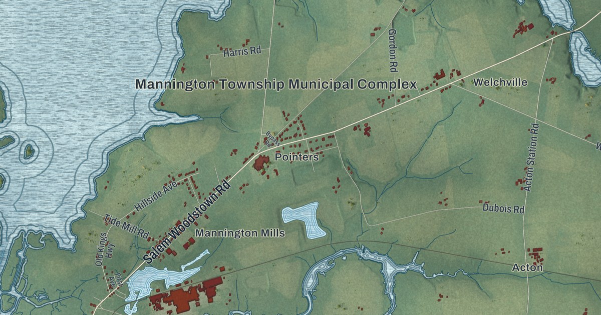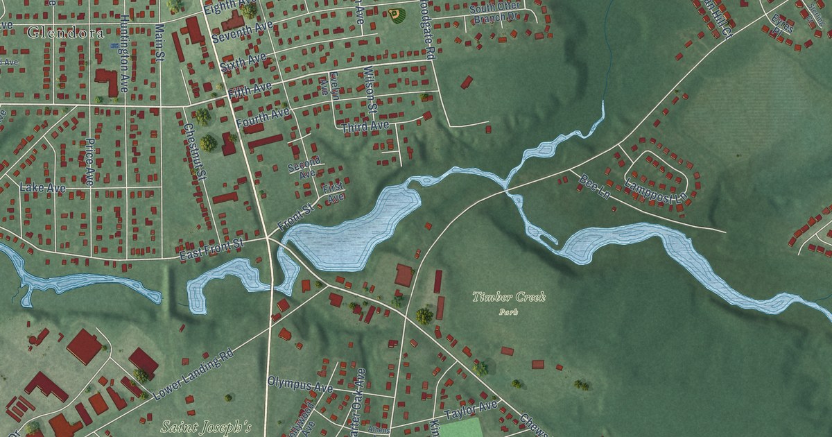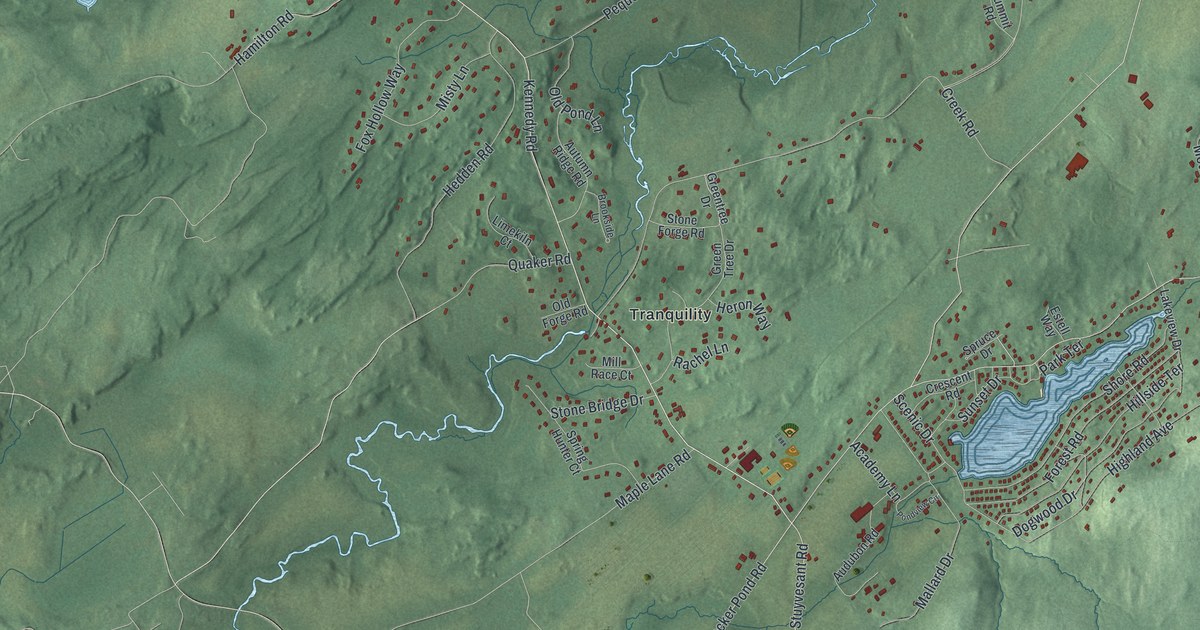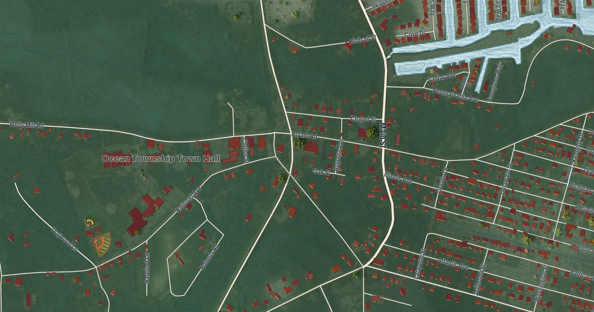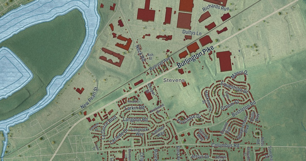
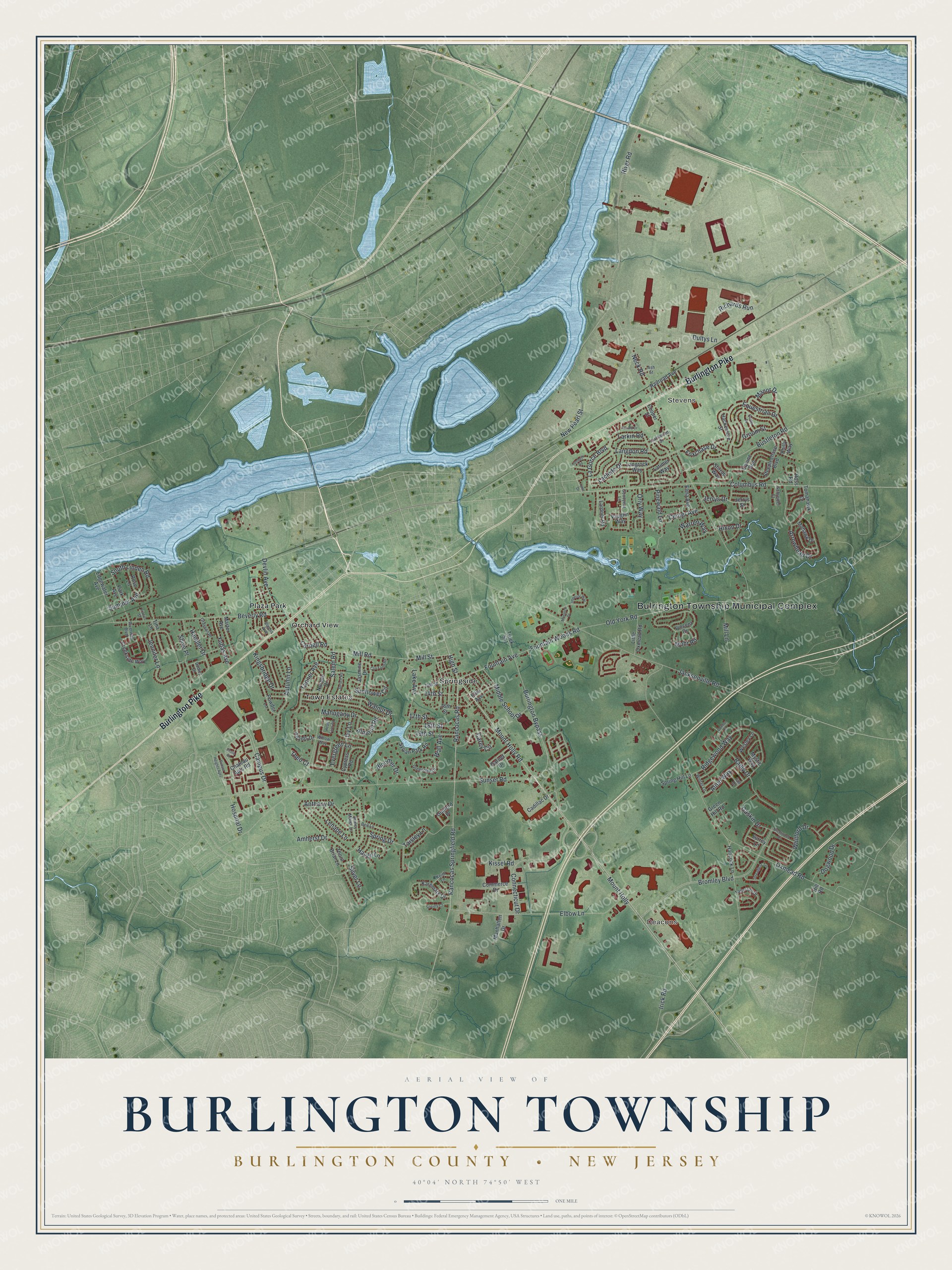
This beautifully detailed map of Burlington, Burlington County, New Jersey was created in 2026 using aerial imagery combined with modern topographical, census, street and landmark data. It’s a one-of-a-kind view of Burlington that combines accurate data with a vintage aesthetic. The map shows every building in its true location, many of the roads carry their names, and the shaded topographic relief shows the shape of the land.
Explore an aerial view of Burlington, Burlington County, New Jersey
On the map you’ll find Bulrington Township Municipal Complex, Deacons, Stevens, Orchard View, Plaza Park, Springside, and Town Estates, along with Burlington Pike, Rancocas Road, Rancocas Springfield Road, Fountain Avenue, High Street, and more. If you look closely you can even find your house accurately drawn in its correct location. Zoom in on the preview to look for yours.
Did You Know?
Burlington Township’s name is a worn-down form of Bridlington, a town in England. The West Jersey proprietors laid it out as a towne, closely tied to Burlington City in its early days. In 1798 it became one of New Jersey’s first 104 townships.
Take a closer look at the Burlington, Burlington County map
Names on this map
These names are printed on this map.
Places: Bulrington Township Municipal Complex, Deacons, Stevens, Plaza Park, Springside, Town Estates and Orchard View.
Streets and roads: Burlington Pike, High Street, Columbus Road, Fountain Avenue, Mount Holly Road, Rancocas Road, Rancocas Springfield Road, Carey Circle, Mount Holly, Bromley Boulevard, Oxmead Road, Neck Road.
More street names, A to Z
13th Street, 14th Street, 16th Street, 17th Street, 18th Street, 19th Street, Adams Drive, Almond Road, Alton Way, Amherst Drive, Anthony Drive, Arrowhead Drive, Ash Street, Autumn Lane, Bailly Drive, Bell Lane, Beverly Road, Bloomer Drive, Brentwood Drive, Burlington Bypass, Bustleton Road, Cadillac Drive, Campus Drive, Canter Drive, Center Avenue, Chateau Apts Road, Commerce Drive, Connecticut Drive, Connor Court, Cooper Street, Cornell Road, Cox Farm Road, Creekside Way, Cypress Road, Devlin Avenue, Dogwood Drive, Dudley Drive, Dultys Lane, Edgewater Avenue, Elbow Lane, Ellis Avenue, Elma Avenue, Equestrian Drive, Equine Run, Etoile Court, Evergreen Lane, Fall Drive, Fountain Woods Road, Foxchase Drive, Frazier Street, Garnet Drive, Gaskin Drive, Goodyear Lane, Grayson Place, Green Hill Road, Greentree Drive, Groom Street, Guilford Place, Hackemore Street, Hancock Lane, Handler Drive, Haven Lane, Heals Farm Road, Hill Road, Hixon Drive, Hospital Drive, Illinois Avenue, Imperial Way, Irick Road, Ivy Lane, Jacksonville Road, Jasmine Drive, Jennifer Lane, Jerrys Drive, Jerrys Street, Karemark Drive, Keith Lane, Kingsbridge Drive, Kissel Road, Laclede Drive, La Gorce Boulevard, Lake Avenue, Lambeth Road, Langdon Road, Langrock Way, Larchmont Drive, Lardner Road, Larkin Road, Latimer Way, Lenape Lane, Little Oxmead Road, Lynn Drive, Mahogany Drive, Manhatten Drive, Manor Drive, Marter Avenue, Middle School Drive, Mill Lane, Mill Road, Mill Street, Mohawk Drive, Mohr Road, Monarch Drive, Mystic Way, New Pearl Street, Noreen Drive, Old York Road, Orly Way, Park Avenue, Philly Way, Pinewald Lane, Powder Lane, Quincy Manor Lane, Railroad Avenue, Richards Run, Ridgewood Way, River Road, Riverwalk Boulevard, Ronald Drive, Rose Lane, Ross Road, Salem Road, Schreibel Court, Shive Place, Silver Lane, Society Court, South Linden Road, Spring Drive, Spring Hill Lane, Spruce Road, Steeplechase Boulevard, Stirrup Way, Summer Avenue, Sunflower Circle, Sunset Heights Apts, Sunset Road, Surrey Lane, Sylvan Park Road, Taisley Lane, Tanner Avenue, Tattersall Drive, Theo Court, Thorn Briar Lane, Threadleaf Terrace, Tina Lane, Tomahawk Drive, Truck 541, Vaughn Way, Vincent Drive, Wall Avenue, Walnut Drive, Warren Way, Wesley Lane, Whitford Drive, Willow Way, Winter Lane, Yubas Avenue.
See it on a wall
The Burlington Township, Burlington County map as an 18 x 24 inch print in a black frame.

This beautifully detailed map of Burlington, Burlington County makes an attractive addition to your office, library, or den, and it can even be used to teach children the geography and history of the area. It also makes a great gift for someone who left Burlington and still calls it home. When you’re done exploring, click here to get your copy of the Burlington, Burlington County map.