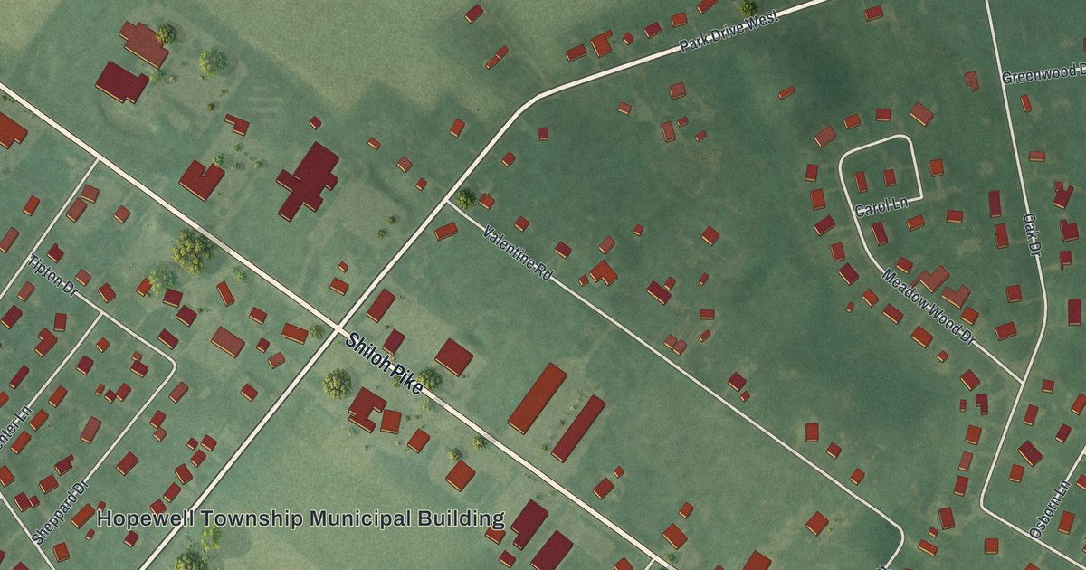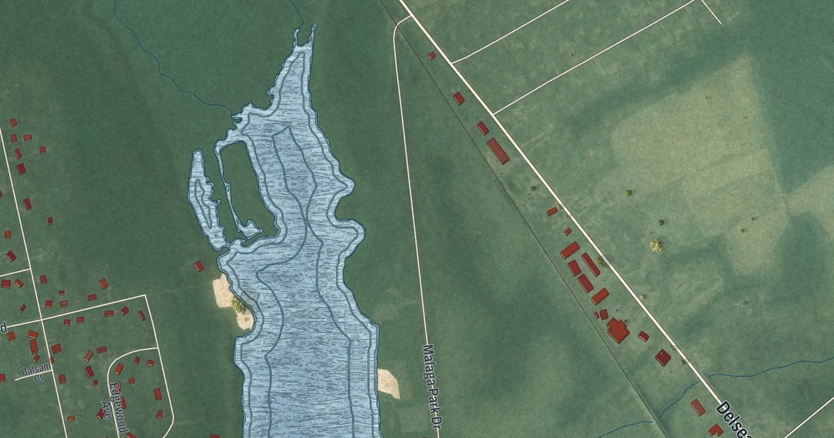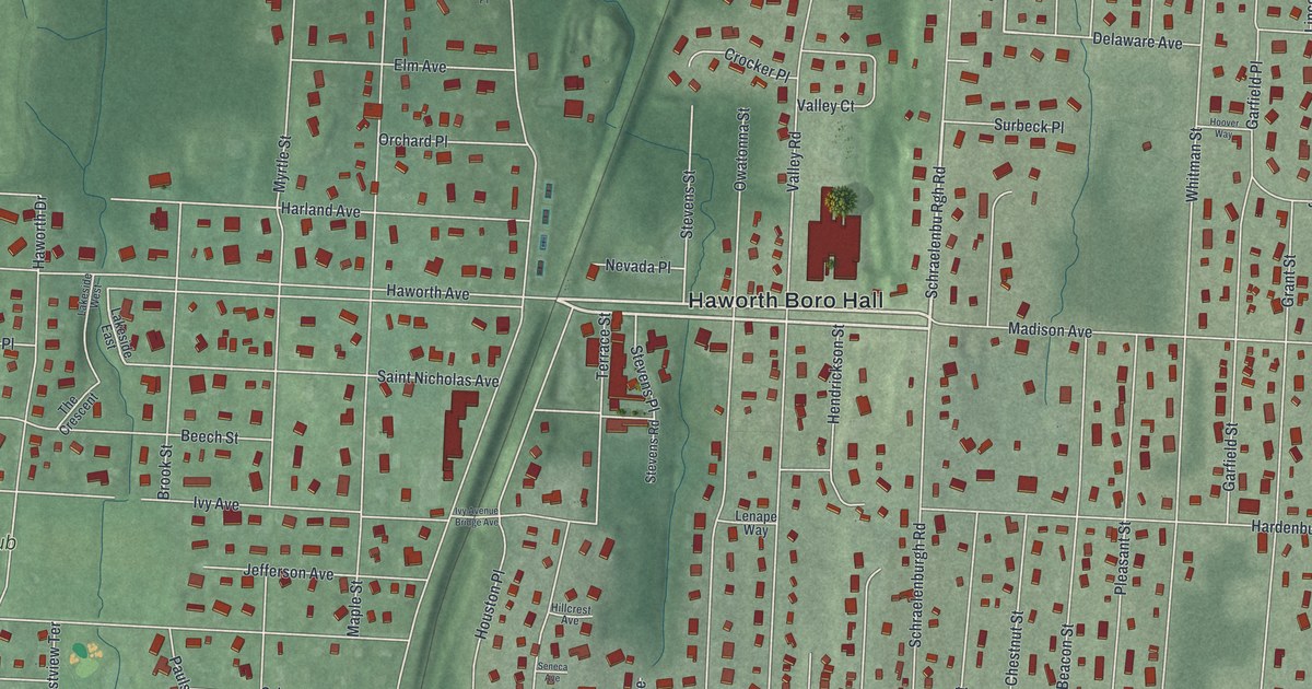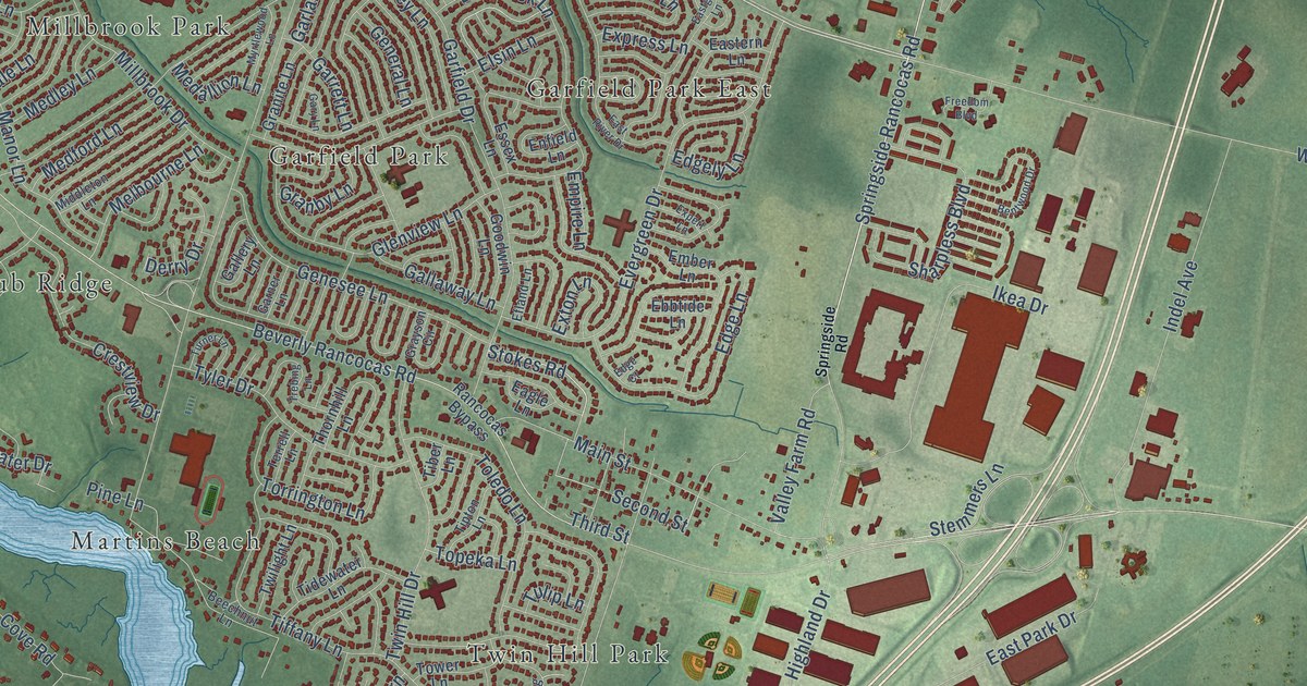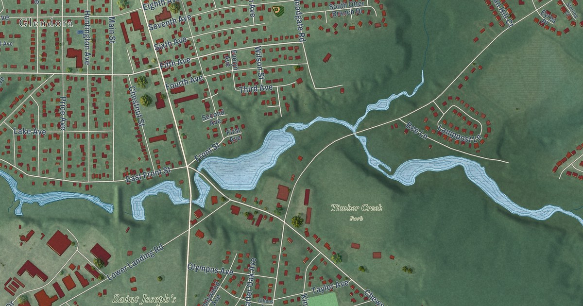
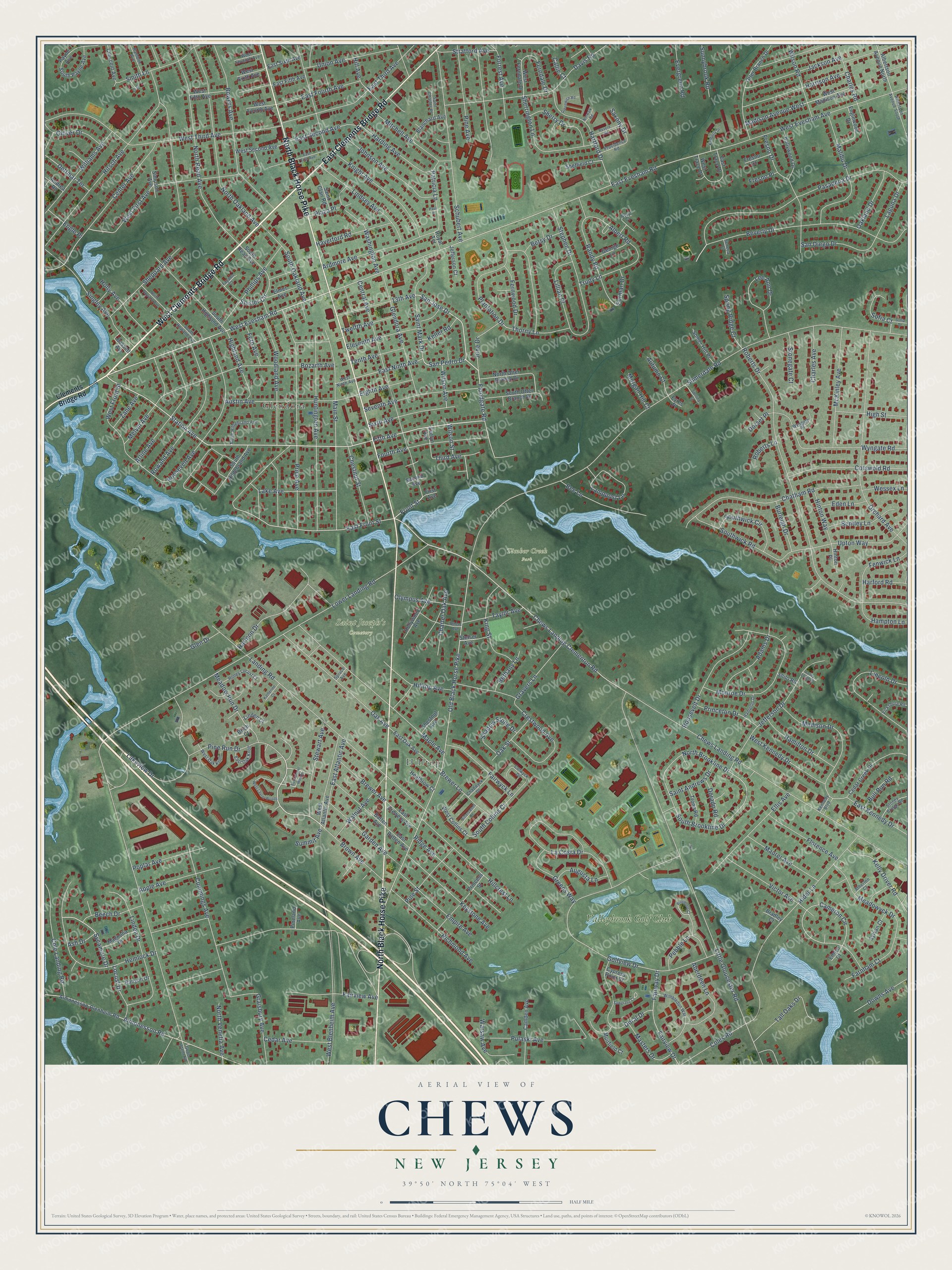
This beautifully detailed map of Chews, New Jersey was created in 2026 using aerial imagery combined with modern topographical, census, street and landmark data. It’s a one-of-a-kind view of Chews that combines accurate data with a vintage aesthetic. The map shows every building in its true location, many of the roads carry their names, and the shaded topographic relief shows the shape of the land.
Explore an aerial view of Chews, New Jersey
On the map you’ll find Saint Joseph’s Cemetery, Timber Creek Park, Glendora, Hilltop, and Valleybrook Golf Club, along with West Clements Bridge Road, North Black Horse Pike, East Clements Bridge Road, Chews Landing Road, Station Avenue, West Evesham Road, Pine Run Drive, and more. If you look closely you can even find your house accurately drawn in its correct location. Zoom in on the preview to look for yours.
Did You Know?
From Internet Archive: "The Chews Landing road was laid about 1800, and the Kaighns Point road about 1810, soon after the ferry was established at that place."
Chews is a community in Camden County.
Take a closer look at the Chews map
Names on this map
These names are printed on this map.
Places: Saint Joseph's Cemetery, Timber Creek Park, Glendora, Hilltop and Valleybrook Golf Club.
Streets and roads: West Clements Bridge Road, North Black Horse Pike, East Clements Bridge Road, Chews Landing Road, Station Avenue, West Evesham Road, Pine Run Drive, Fifth Avenue, San Jose Drive, Floodgate Road, Meadow Run Drive, Front Street.
More street names, A to Z
13th Avenue, Aberdeen Lane, Adams Drive, Albert Road, Albertson Avenue North, Albertson Avenue South, Almonesson-Blenheim Road, Almonesson Road, Andrea Road, Apple Avenue, Ardmore Avenue, Arline Avenue, Ash Drive, Athens Avenue, Atherton Court, Augusta Lane, Austin Avenue, Autumn Court, Banyon Drive, Bassett Avenue, Batten Avenue, Beech Drive, Bee Lane, Bentley Lane, Beryl Court, Bethany Lane, Betsy Drive, Beverly Drive, Birch Court, Bittersweet Drive, Blanchard Avenue, Bowers Avenue, Bozarth Avenue, Bradley Court, Brewer Avenue, Brewer Lane, Brown Avenue, Bull Run Road, Burleigh Drive, Callie Court, Camden Avenue, Cameron Circle, Cedar Avenue, Cedar Creek Drive, Center Avenue, Central Avenue, Chadwyck Drive, Charles Avenue, Charles Road, Charter Oak Avenue, Chatham Road, Chestnut Avenue, Chestnut Street, Chews Landing Clementon Road, Clements Bridge Road, Cole Landing Road, Coles Road, Colwyck Drive, Cotswold Road, Crescent Avenue, Crestwood Avenue, Cummings Avenue, Cypress Point Court, Davis Road, Dettmar Terrace, Dorado Road, Doral Drive, Dorset Place, Downs Avenue, East Atlantic Avenue, East Batten Avenue, East Brewers Avenue, East Evesham Road, East Fifth Avenue, East First Avenue, East Fourth Avenue, East Front Street, East Kennedy Drive, East Laurel Woods, East Ninth Avenue, East Oak Avenue, East Oak Knoll, East Second Avenue, East Sixth Avenue, East Third Avenue, East Trace Drive, Eden Lane, Eighth Avenue, Eleventh Avenue, Ellis Avenue, Elmer Avenue, Emlyn Court, Empire Avenue, Engle Place, Englewood Drive, Evelyn Avenue, Evergreen Road, Eyres Place, Fairview Avenue, Fairview Drive, Fairway Drive, Fairwyck Lane, Farnham Court, Fayann Court, Fenwick Lane, Fern Avenue, Ferndale Drive, Fernwood Drive, First Avenue, Florence Avenue, Forrest Avenue, Fourth Avenue, Fresno Court, Fresno Drive, Fresno Place, Furman Drive, Garden Avenue, George Lane, Glendora Avenue, Glen Drive, Glover Drive, Golfview Drive, Good Intent Road, Graisbury Avenue, Gravers Lane, Greens Way, Greenwich Road, Hamilton Drive, Hampton Drive, Hampton Lane, Harding Avenue, Harford Road, Harmon Drive, Harrison Avenue, Hartford Drive, Haverford Road, Heathrow Court, Hemlock Drive, Hider Lane, Highland Avenue, High Street, Hill Avenue, Hillcrest Lane, Hilltop Avenue, Hinton Place, Hinton Way, Hirsch Avenue, Holly Avenue, Hollywood Avenue, Hollywood Drive, Honey Locust Court, Huntington Avenue, Iva Court, Jackson Avenue, Jefferson Court, Jefferson Drive, Johnson Avenue, June Drive, Katherine Court, Keller Road, Kelly Driver Road, Kennedy Boulevard, Keystone Avenue, Kimberly Drive, King Street, Knight Avenue, La Costa Drive, Laguna Drive, Lake Avenue, Lakeview Drive, Lamppost Lane, Landing Road, Lee Ann Drive, Lillian Place, Lincoln Drive, Linden Court, Linden Drive, Lindsey Avenue, Little Gloucester Road, Locust Drive, Lower Landing Road, Madison Avenue West, Madison Drive, Magnolia Drive, Main Street, Malibu Drive, Maple Avenue, Masters Drive, Maurer Avenue, McKinley Avenue, Meadowyck Drive, Melvin Avenue, Mitchell Avenue, Monroe Drive, Morgan Hill Court, Muirfield Court, North Brookline Drive, North Hildebrand Avenue, North Oakland Avenue, North Otter Branch Drive, North Read Avenue, North Rowand Avenue, North Venetia Avenue, Norwalk Road, Oak Avenue, Oakland Drive, Oak Street, Old Black Horse Pike, Olympus Avenue, Orchard Avenue, Otter Branch Drive, Pasadena Drive, Patricia Lane, Paul Place, Payne Avenue, Pebble Lane, Phillips Avenue, Pine Avenue, Pinehurst Court, Pineland Avenue, Pine Street, Plantation Drive, Plaza Place, Poplar Avenue, Price Avenue, Princess Street, Princeton Drive, Providence Road, Pulaski Avenue, Rambler Avenue, Randy Road, Revere Road, Richmond Avenue, Ridge Avenue, Roberts Drive, Roberts Lane, Roosevelt Avenue, Roosevelt Drive, Rowand Avenue, Royal Terrace, Saint Andrews Drive, Saint Charles Place, Saint Clair Road, Saint Mark Drive, San Diego Drive, San Pedro Drive, Sawgrass Court, Saxony Drive, Schubert Avenue, Second Avenue, Seneca Court, Seventh Avenue, Shadow Stone Drive, Sheffield Court, Sheppard Avenue, Sherrington Lane, Sherry Drive, Shilo Road, Shisler Circle, Simpson Avenue, Singley Avenue, Sixth Avenue, Smith Lane, Sofia Court, Sofia Drive, Somerdale Road, Somer Hill Place, South Brookline Drive, South Collins Court, South Highland Avenue, South Hildebrand Avenue, South Oakland Avenue, South Otter Branch Drive, South Payne Avenue, South Read Avenue, South Rowand Avenue, Southwick Circle, Southwick Road, Spring Ridge Court, Spruce Avenue, Stephen Drive, Sterling Court, Stetser Avenue, Stewart Avenue, Stonegate Court, Stoney Bridge Road, Stratford Avenue, Summit Avenue, Sunnybrook Road, Sycamore Drive, Sylvan Court, Tall Oaks Drive, Taylor Avenue, Tenth Avenue, Third Avenue, Thorny Lane, Troon Road, Trudy Lane, Twelfth Avenue, Union Avenue, Upton Way, Valley Forge Place, Vicksburg Road, Victor Avenue, Walnut Avenue, Warsaw Avenue, Washington Avenue, Wessex Lane, West Atlantic Avenue, West Blenheim Avenue, West Collins Court, West Evesham Avenue, West Ferndale Drive, West Fifth Avenue, West First Avenue, West Fourth Avenue, West Front Street, West Kennedy Drive, West Laurel Woods, West Madison Avenue, West Ninth Avenue, West Oak Knoll, West Second Avenue, West Seventh Avenue, West Sixth Avenue, West Third Avenue, West Trace Drive, Williams Avenue, Wilson Avenue, Wilson Road, Wilson Street, Wimbledon Way, Woodland Avenue, Wyngate Place, Wyngate Road, Zane Avenue.
See it on a wall
The Chews map as a framed print. Swipe for more.


This beautifully detailed map of Chews makes an attractive addition to your office, library, or den, and it can even be used to teach children the geography and history of the area. It also makes a great gift for anyone who grew up in Chews or moved away. When you’re done exploring, click here to get your copy of the Chews map.