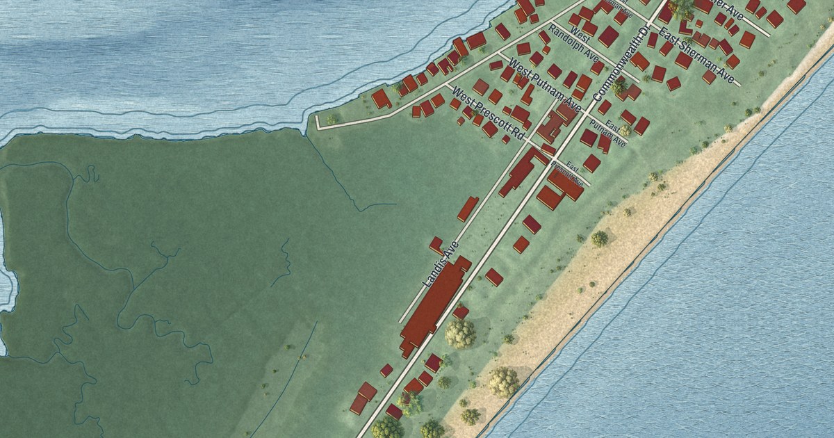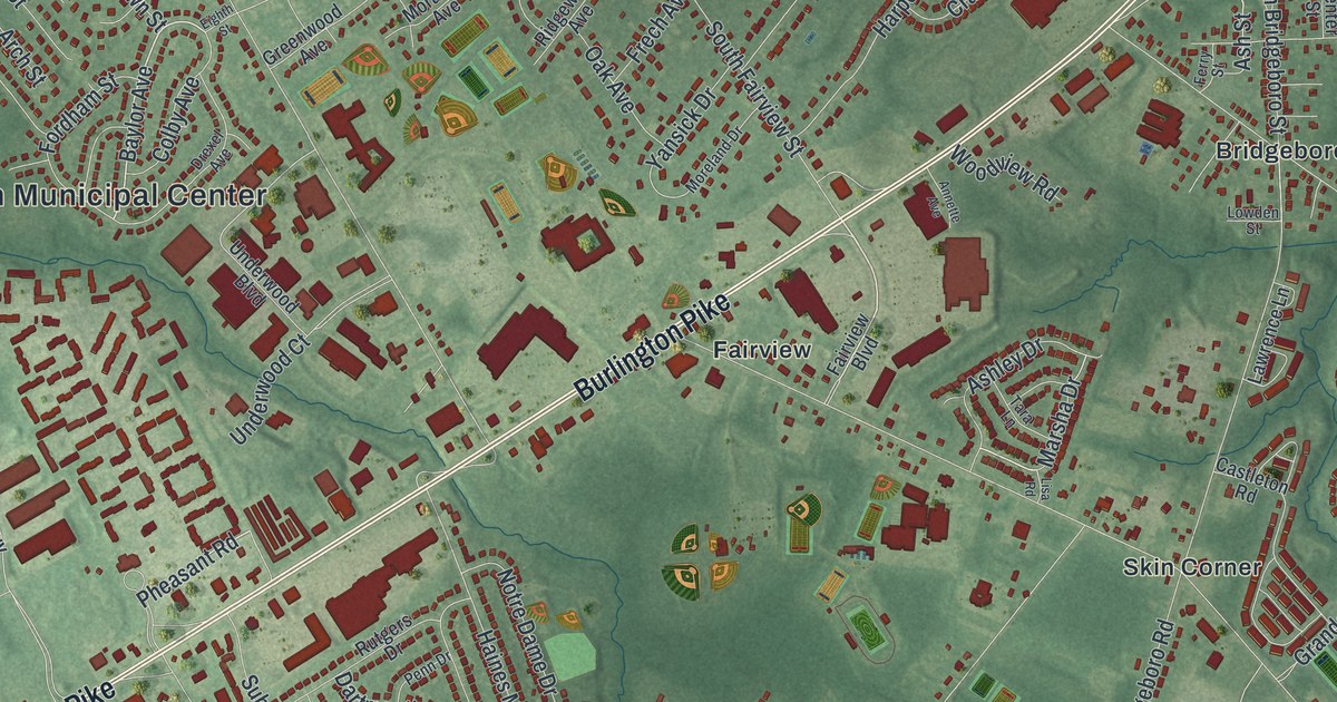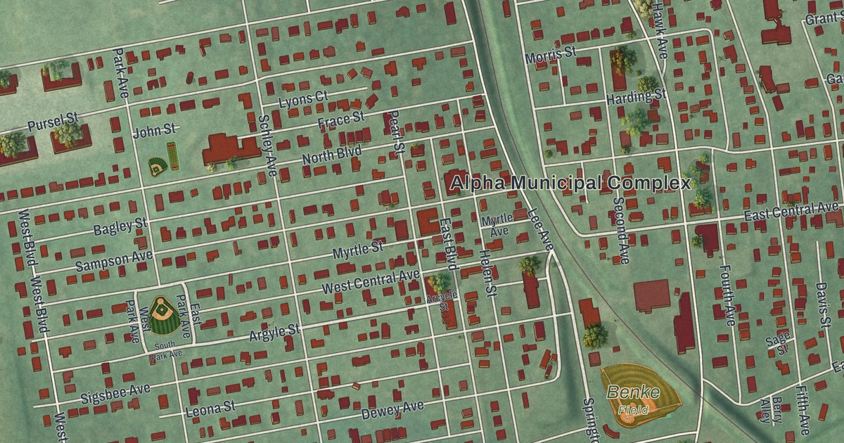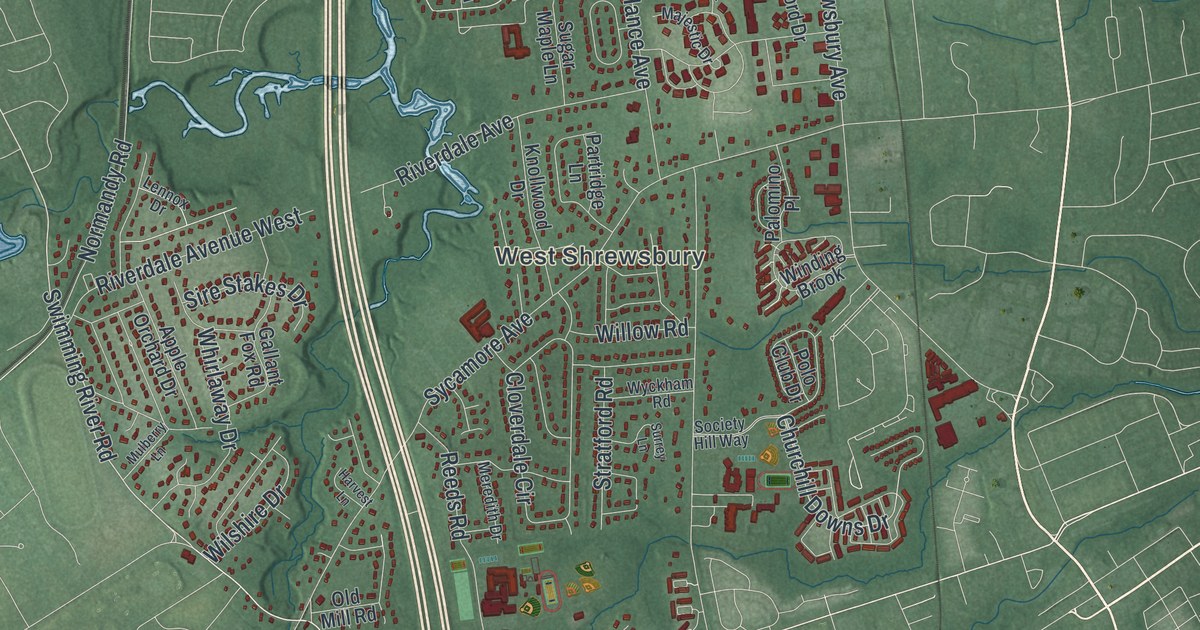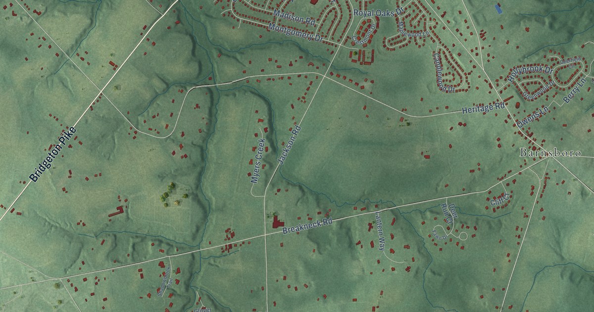
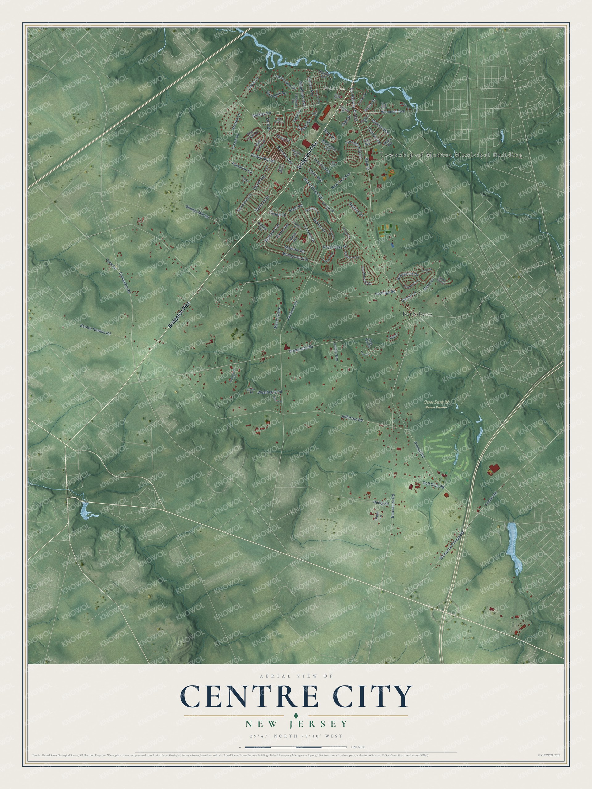
This beautifully detailed map of Centre City, New Jersey was created in 2026 using aerial imagery combined with modern topographical, census, street and landmark data. It’s a one-of-a-kind view of Centre City that combines accurate data with a vintage aesthetic. The map shows every building in its true location, many of the roads carry their names, and the shaded topographic relief shows the shape of the land.
Explore an aerial view of Centre City, New Jersey
On the map you’ll find Township of Mantua Municipal Building, Mantua, Ceres Park & Nature Preserve, and Barnsboro, along with Bridgeton Pike, Main Street, Barnsboro Road, Olympia Street, Berkley Road, Montgomery Drive, Breakneck Road, Mantua Boulevard, and more. If you look closely you can even find your house accurately drawn in its correct location. Zoom in on the preview to look for yours.
Take a closer look at the Centre City map
Names on this map
These names are printed on this map.
Places: Township of Mantua Municipal Building, Mantua, Ceres Park & Nature Preserve and Barnsboro.
Streets and roads: Bridgeton Pike, Main Street, Barnsboro Road, Olympia Street, Berkley Road, Montgomery Drive, Breakneck Road, Mantua Boulevard, County Highway Alt 553, Cohawkin Road, Harrison Avenue, Bismark Avenue.
More street names, A to Z
Arena Street, Barney Hawkin Road, Barry Drive, Bear Creek Drive, Berry Lane, Boodys Mill Road, Brookview Drive, Candlewood Drive, Capital Drive, Carriage Hill Circle, Castle Drive, Cedar Road, Central Avenue, Chestnut Street, Cliff Court, Columbus Drive, Creek Lane, Crestmont Drive, Deerfield Circle, Deer Run Court, Eachus Road, Elm Avenue, Fawn Drive, Firth Drive, Friesa Court, Glover Road, Golf Club Road, Green Lane, Greenwood Drive, Heilig Road, Heritage Road, Hickory Avenue, High Street, Hillside Terrace, Hill Street, Hirst Avenue, Hollybrook Drive, Jackson Road, Jefferson Road, Jessup Mill Road, Kristen Lane, Lambs Road, Lansing Drive, Lantern Way, Lenape Avenue, Lincoln Avenue, Linden Avenue, Little Mill Court, Long Terrace, Madison Road, Maple Avenue, Maplewood Lane, Monroe Avenue, Mount Royal Road, Myers Creek, New York Avenue, Norris Street, Oakton Drive, Old Landing Road, Owens Lane, Palomino Circle, Pierre Avenue, Pitman Road, Red Bud Lane, Richwood Pitman Road, Royal Oaks Drive, Sacramento Drive, Santa Fe Drive, Schaub Road, Shadowbrook Trail, Shadow Place, Silver Creek Drive, Skyline Circle, Sport Court, Springhill Road, State Road, Susies Hollow, Taylor Avenue, Tony Circle, Topeka Avenue, Tristram Circle, Turner Street, Twin Lakes Drive, Washington Avenue, Weatherby Road, Wenonah Avenue, West Elm Avenue, Westwood Drive, Willowbend Drive, Woodbrook Drive, Woodlawn Avenue.
See it on a wall
The Centre City map as a framed print. Swipe for more.


This beautifully detailed map of Centre City makes an attractive addition to your office, library, or den, and it can even be used to teach children the geography and history of the area. It also makes a great gift for anyone with Centre City roots. When you’re done exploring, click here to get your copy of the Centre City map.