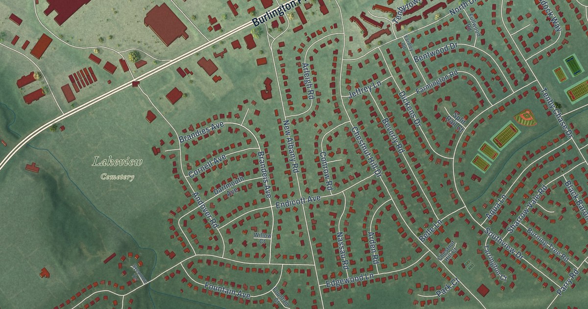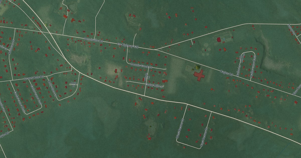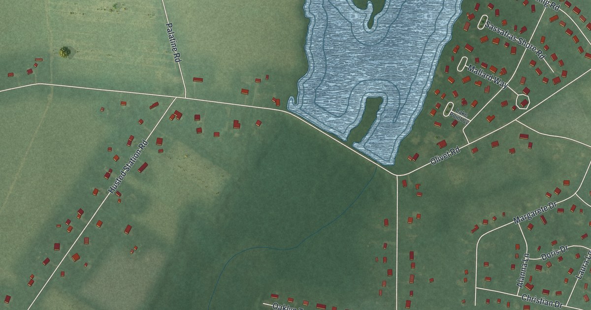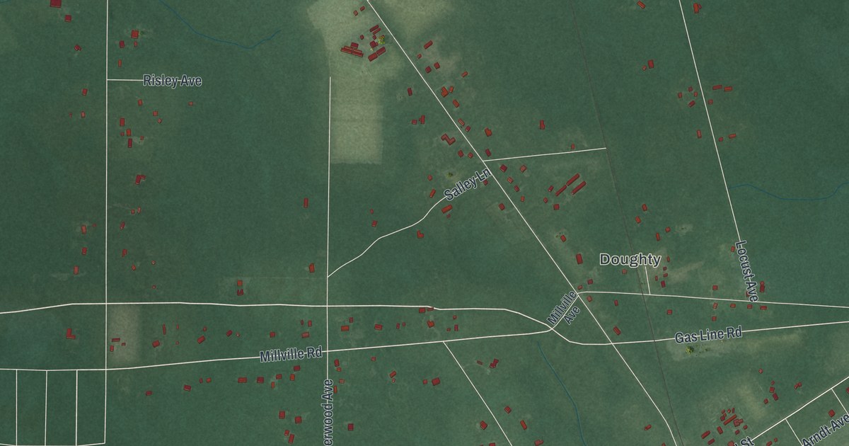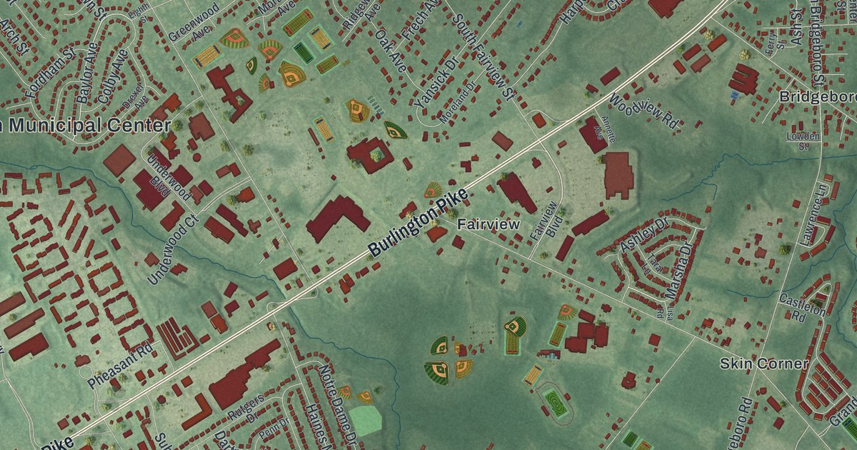
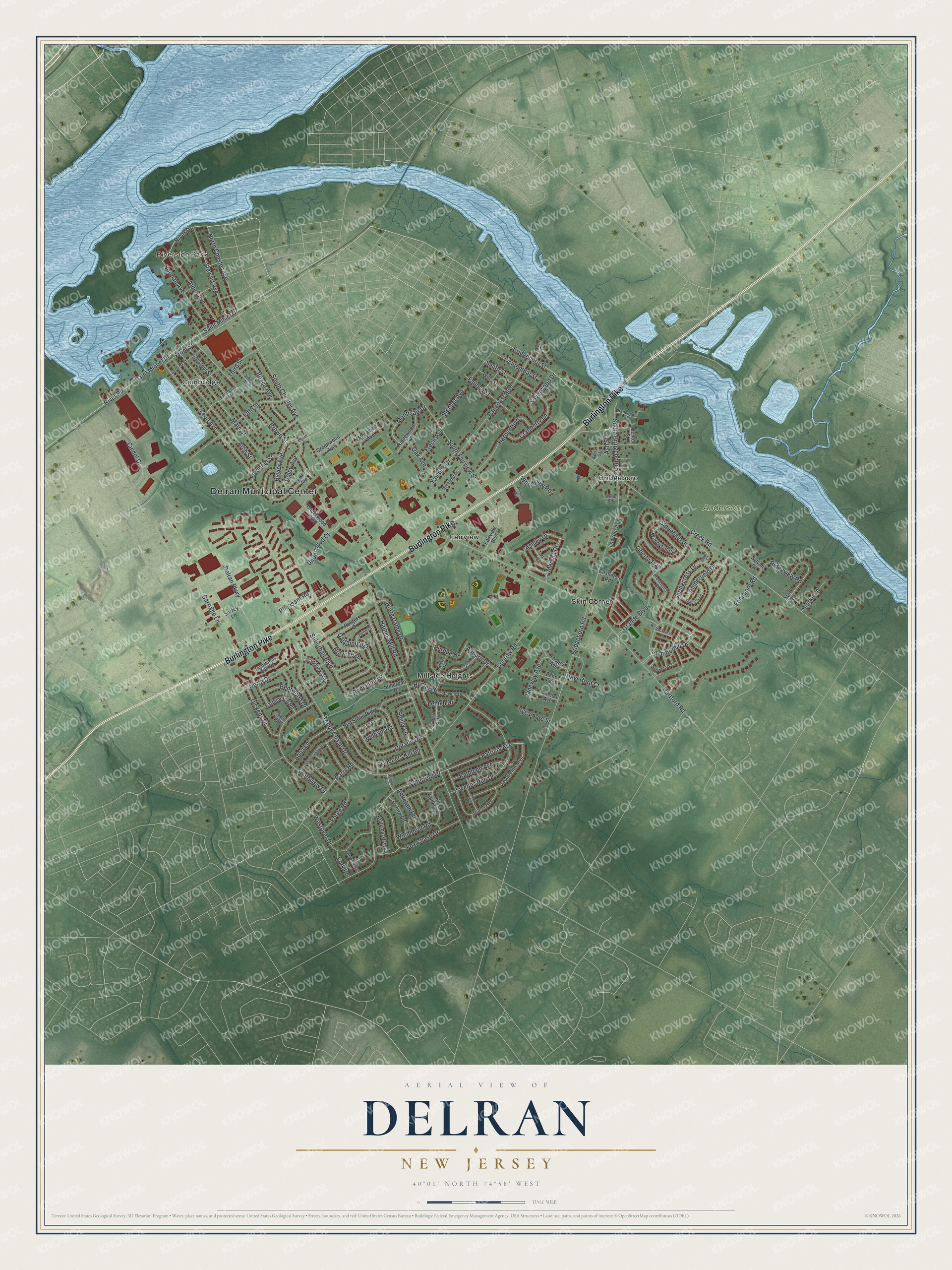
This beautifully detailed map of Delran, New Jersey was created in 2026 using aerial imagery combined with modern topographical, census, street and landmark data. It’s a one-of-a-kind view of Delran that combines accurate data with a vintage aesthetic. The map shows every building in its true location, many of the roads carry their names, and the shaded topographic relief shows the shape of the land.
Explore an aerial view of Delran, New Jersey
On the map you’ll find Delran Municipal Center, Riverside Park, Anderson Farm, Bridgeboro, Cambridge, Fairview, Millside Heights, and Skin Corner, along with Burlington Pike, Bridgeboro Street, Patricia Avenue, Baylor Avenue, and more. If you look closely you can even find your house accurately drawn in its correct location. Zoom in on the preview to look for yours.
Did You Know?
Delran took its name by blending the names of two waterways that come together at the township, the Delaware River and Rancocas Creek. The state legislature created Delran in 1880 from part of Cinnaminson Township. In 1895, part of Delran was split off to form Riverside Township.
Take a closer look at the Delran map
Names on this map
These names are printed on this map.
Places: Delran Municipal Center, Riverside Park, Anderson Farm, Bridgeboro, Cambridge, Fairview, Millside Heights and Skin Corner.
Streets and roads: Burlington Pike, Bridgeboro Street, Patricia Avenue, Baylor Avenue, River Drive, Pheasant Road, Ashley Drive, Front Street, Ash Street, Creek Road, Bridgeboro Road, Hartford Road.
More street names, A to Z
Alden Avenue, Amberfield Drive, Annette Avenue, Antietam Road, Aqua Lane, Arch Street, Army Drive, Aster Court, Auburn Drive, Bentwood Drive, Brown Street, Burlington Street, Carriage Lane, Castleton Road, Center Street, Chestnut Street, Cindel Drive, Colby Avenue, Conrow Road, Cooper Avenue, Coopers Kill Road, Cranberry Lane, Dartmouth Drive, Delran Parkway, Diane Avenue, Dickens Drive, Dorado Drive, Drexel Avenue, Echo Avenue, Eighth Street, Fairview Boulevard, Farmington Road, Faunce Street, Fenimore Road, Fenwick Road, Ferry Street, Fifth Street, Fordham Street, Forge Road, Fox Chase Drive, Frech Avenue, Grande Boulevard, Greenwood Avenue, Haines Mill Road, Harper Boulevard, Haverford Court, Holyoke Drive, Hunter Drive, Ithaca Avenue, Jacqueline Avenue, Janeway Avenue, Jason Court, Juniata Avenue, Kathleen Avenue, Lawrence Lane, Lehigh Drive, Leon Avenue, Liberty Trail, Lichtenthal Street, Linda Avenue, Lisa Road, Lowden Street, Main Street, Marsha Drive, Montclair Drive, Moravian Avenue, Moreland Drive, Navy Drive, Norman Avenue, North Chester Avenue, North Drive, Notre Dame Drive, Oak Avenue, Ohio State Drive, Oneida Avenue, Oxford Road, Paddock Way, Pancoast Boulevard, Parry Road, Pelham Road, Penn Drive, Pine Valley Road, Princeton Drive, Providence Court, Purdue Drive, Rancocas Street, Red Stone Ridge, Ridgeview Road, Ridgewood Avenue, River Road, Rockcress Place, Rutgers Drive, Saint Michel Drive, Saint Mihiel Drive, Second Street, Sharrow Vale Road, Shelly Lane, Silverwood Drive, Smith Street, Snowberry Lane, South Bridgeboro Street, South Chester Avenue, South Fairview Street, Southview Drive, Split Rail Court, Springcress Drive, Starke Lane, Stark Lane, Stecher Avenue, Stevens Drive, Stewart Avenue, Stoneham Drive, Suburban Boulevard, Suburban Drive, Summerhill Drive, Surrey Lane, Swedes Run Drive, Sycamore Street, Sylvan Court, Tara Lane, Tarlton Court, Teaberry Lane, Tenby Chase Drive, Tenbytowne Apts Road, Third Street, Underwood Boulevard, Underwood Court, Waterford Drive, Westover Drive, Whitemarsh Way, Wills Street, Windmoor Road, Woodview Road, Woodyfield Lane, Wright Way, Yansick Drive, York Road.
See it on a wall
The Delran map as an 18 x 24 inch print in a black frame.

This beautifully detailed map of Delran makes an attractive addition to your office, library, or den, and it can even be used to teach children the geography and history of the area. It also makes a great gift for someone who left Delran and still calls it home. When you’re done exploring, click here to get your copy of the Delran map.