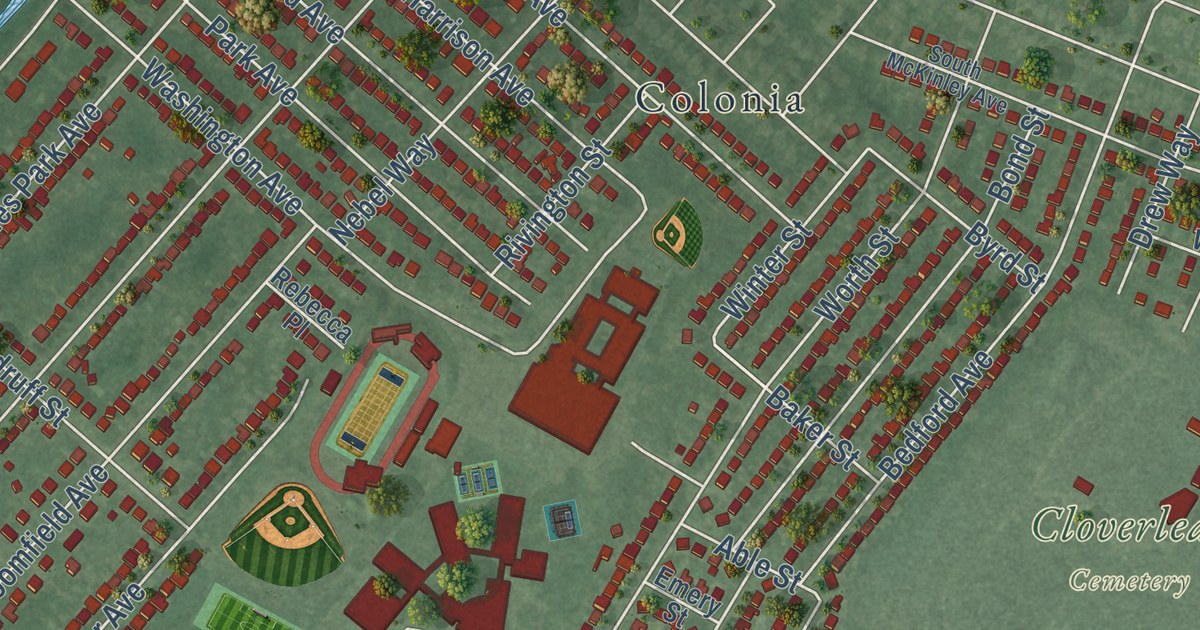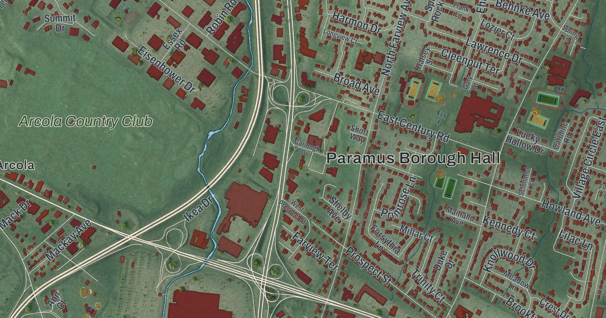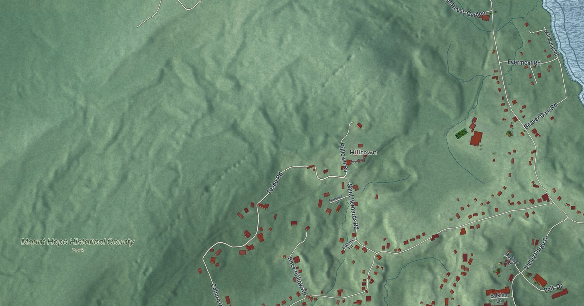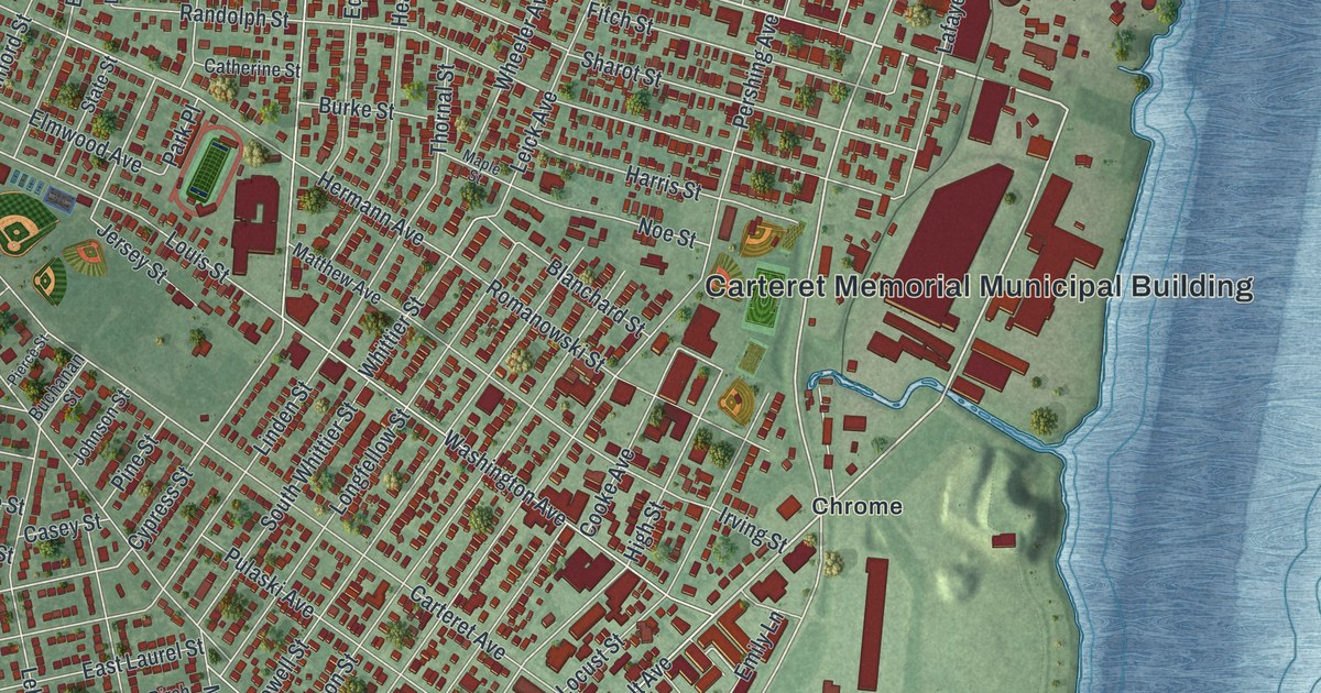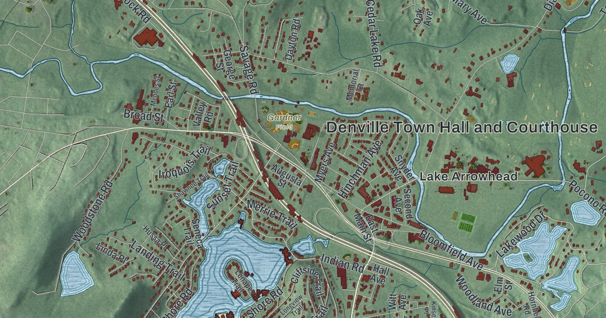
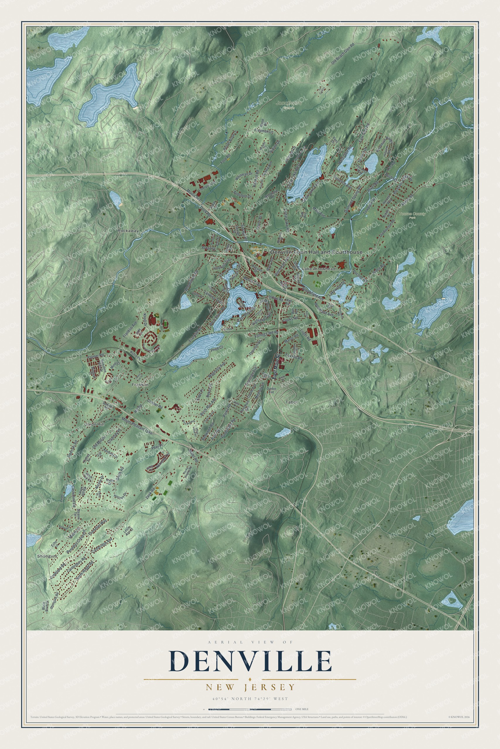
This beautifully detailed map of Denville, New Jersey was created in 2026 using aerial imagery combined with modern topographical, census, street and landmark data. It’s a one-of-a-kind view of Denville that combines accurate data with a vintage aesthetic. The map shows every building in its true location, many of the roads carry their names, and the shaded topographic relief shows the shape of the land.
Explore an aerial view of Denville, New Jersey
On the map you’ll find Denville Town Hall and Courthouse, Gardner Field, Jonathan’s Woods, Tourne County Park, Franklin, Lake Arrowhead, Rockaway, Shongum, Tabor, and Union Hill, along with East Main Street, Franklin Road, and more. If you look closely you can even find your house accurately drawn in its correct location. Zoom in on the preview to look for yours.
Did You Know?
In 1939, Denville was a thriving little railroad junction on the Lackawanna line. Its wide main street and busy shops made it look like a bigger town. Indian Lake was a popular summer resort, and each summer the village grew from about 2,120 people to more than 10,000. That’s from the 1939 WPA guide to New Jersey.
Take a closer look at the Denville map
Names on this map
These names are printed on this map.
Places: Denville Town Hall and Courthouse, Gardner Field, Jonathan's Woods, Tourne County Park, Franklin, Lake Arrowhead, Rockaway, Shongum, Tabor and Union Hill.
Streets and roads: East Main Street, Franklin Road, Diamond Spring Road, Old Beach Glen Road, Pocono Road, Pleasant Valley Road, Lakewood Drive, East Shore Road, Palmer Road, Cooks Road, Indian Road, Ford Road.
More street names, A to Z
Aerie Wynde Drive, Alpine Drive, Arden Road, Astro Place, Audubon Drive, Augusta Street, Baird Drive, Beaver Brook Lane, Beech Place, Benedict Crescent, Berkshire Hills Drive, Birch Run Avenue, Black Birch Drive, Bloomfield Avenue, Broad Street, Brown Terrace, Bush Road, Cambridge Avenue, Canterbury Road, Casterline Road, Cedar Gate Road, Cedar Lake East, Cedar Lake Road, Cedar Lake West, Claude Avenue, Clearmont Avenue, Cliffside Trail, Cooper Road, Copeland Road, Cramsey Place, Dayton Road, Dock Road, Donna Lee Court, Durbin Avenue, Earl Street, East Glen Road, Echo Lane, Elder Place, Elm Street, Enterprise Road, Entrance Way, Estling Lake Road, Florence Avenue, Fox Hill Road, Franklin Avenue, Freeman Avenue, Freeman Lane, Front Street, George Street, Glattly Drive, Hall Avenue, Harvest Way, Hedwig Avenue, Henning Terrace, Highland Trail, Hillcrest Drive, Hill Road, Hillview Terrace, Hinchman Avenue, Holly Drive, Horizon Drive, Hornbeck Road, Hussa Place, Iroquois Trail, Ivy Crest Lane, Jade Lane, Kathay Terrace, Kennedy Drive, Kinsey Place, Kitchell Road, Knoll Drive, Knoll Top Court, Landing Trail, Lee Road, Lenape Trail, Leslie Ann Court, Linda Place, Longview Trail, Luger Road, Mabro Drive, Mackenzie Lane South, Magnolia Avenue, Manor Road, Mary Avenue, Meadow Street, Memorial Court, Memory Lane, Mendes Street, Merrie Trail, Miller Road, Minor Court, Mirador Court, Morris Avenue, Mount Pleasant Turnpike, Myers Avenue, Nicole Drive, Norris Road, North Ridge Road, Oak Avenue, Old Boonton Road, Old Mill Drive, Openaki Road, Park Road, Parks Road, Paula Court, Peer Place, Price Court, Redwood Road, River Road, Robin Drive, Rocky Heights Road, Rosewood Lane, Savage Road, Scenic Court, Second Avenue, Seminole Trail, Semrau Road, Seneca Trail, Shawnee Trail, Shongum Road, Sleepy Hollow Road, Smith Road, Snyder Avenue, Spear Lane, Station Road, Stearns Terrace, Sue Court, Summit Drive, Sunderland Road, Sunset Trail, Thurmont Road, Tonnelier Way, Towpath Road, Union Hill Road, Valley Road, Vans Drive, Watchtower Road, West Glen Road, West Shore Road, Whaleback Waddy, Whitman Drive, Windsor Court, Witt Avenue, Woodland Avenue, Woodland Road, Wood Road, Woodstone Road, Zander Lane, Zeek Road.
See it on a wall
The Denville map as an 18 x 24 inch print in a black frame.

This beautifully detailed map of Denville makes an attractive addition to your office, library, or den, and it can even be used to teach children the geography and history of the area. It also makes a great gift for anyone who grew up in Denville or moved away. When you’re done exploring, click here to get your copy of the Denville map.