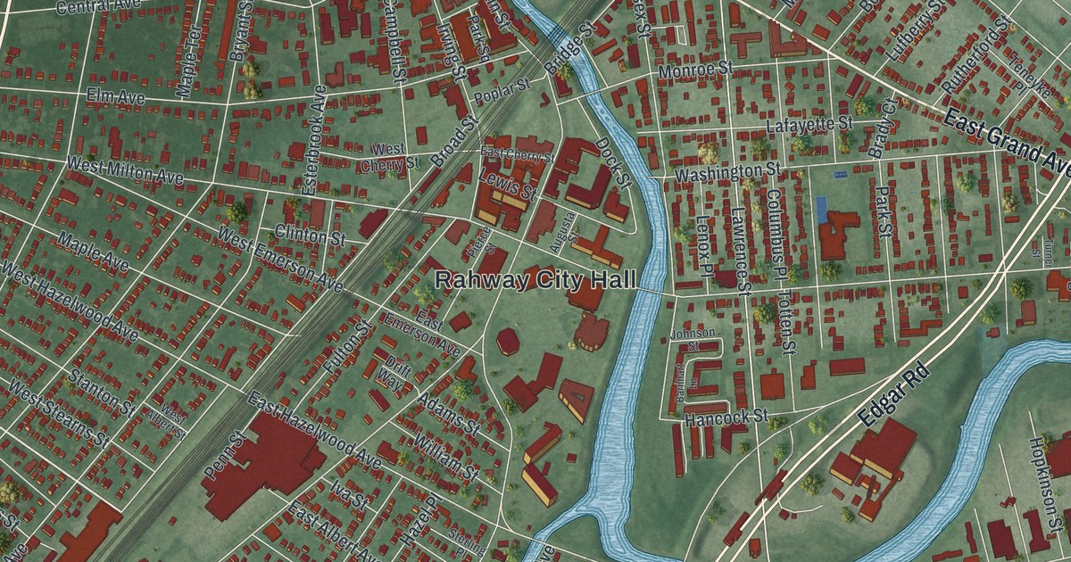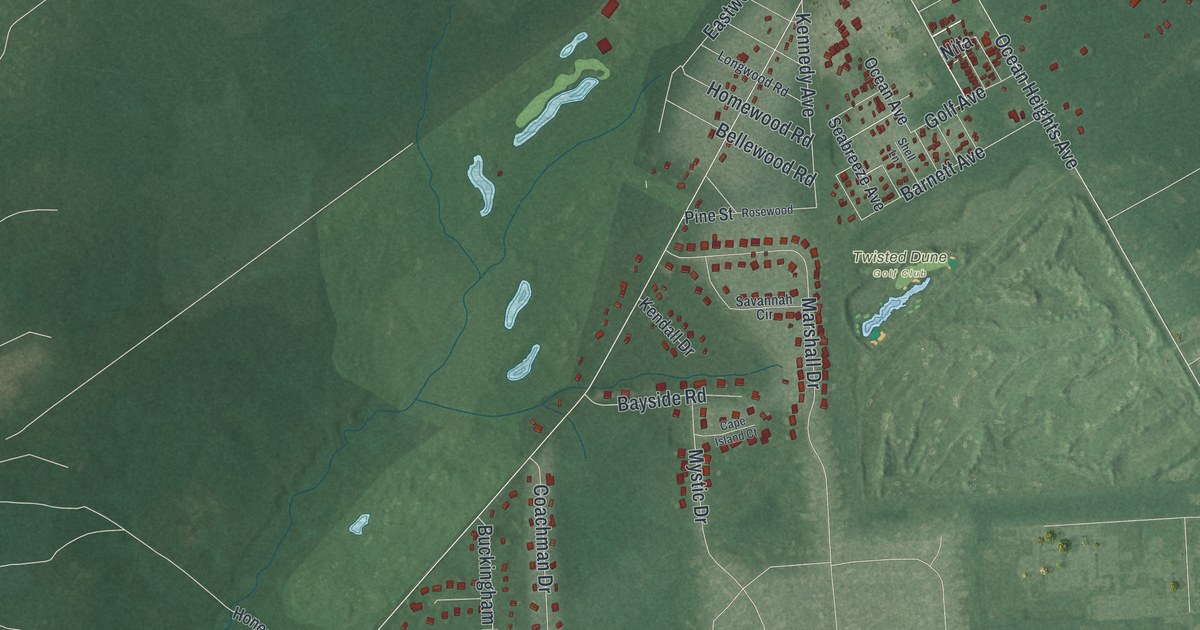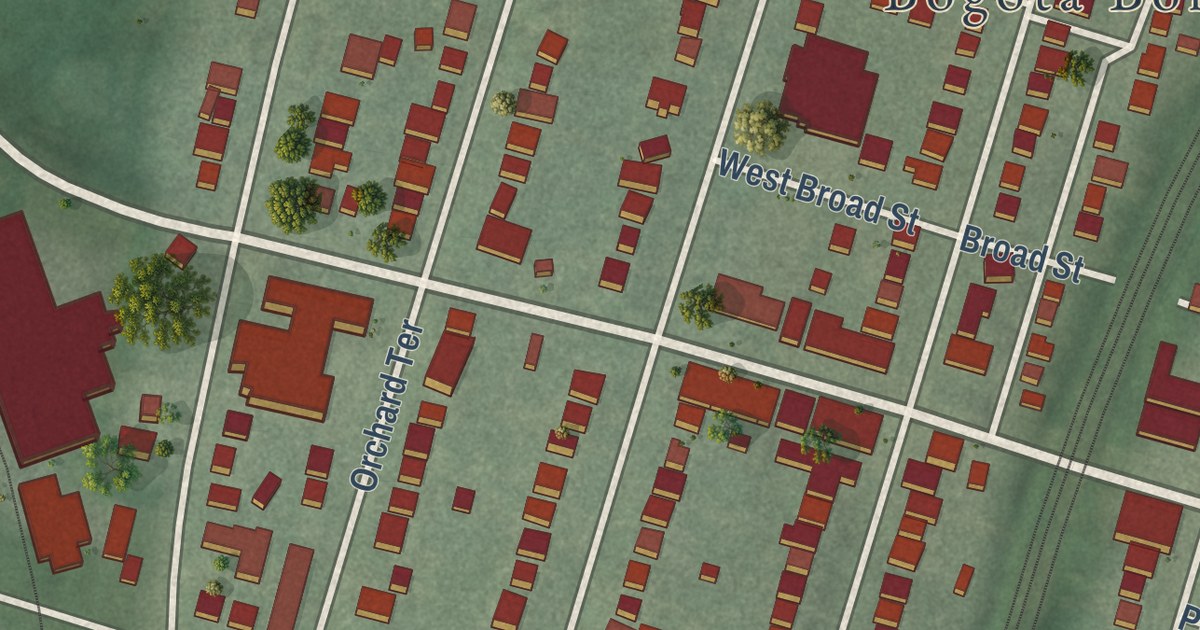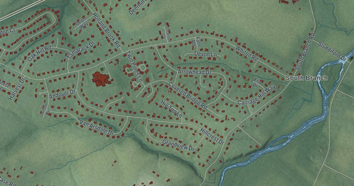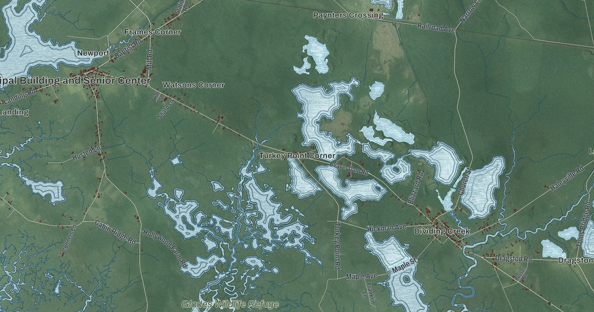
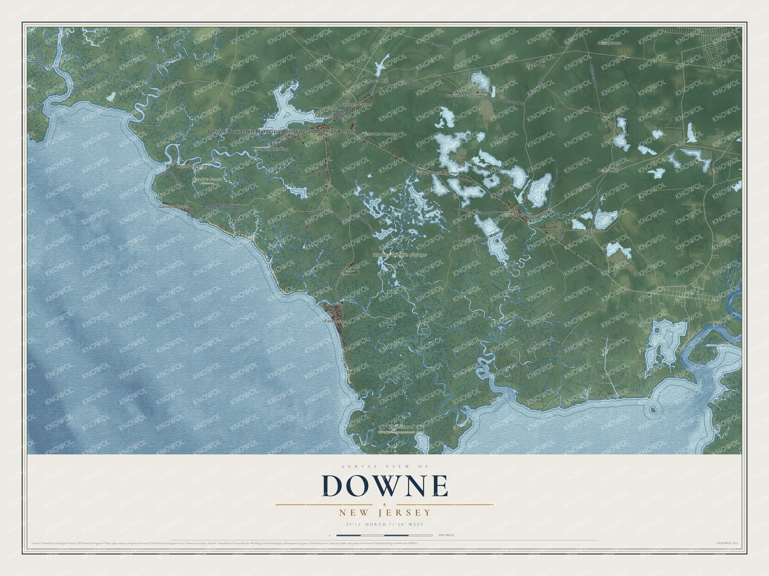
This beautifully detailed map of Downe, New Jersey was created in 2026 using aerial imagery combined with modern topographical, census, street and landmark data. It’s a one-of-a-kind view of Downe that combines accurate data with a vintage aesthetic. The map shows every building in its true location, many of the roads carry their names, and the shaded topographic relief shows the shape of the land.
Explore an aerial view of Downe, New Jersey
On the map you’ll find Downe Township Municipal Building and Senior Center, Money Island, Baileytown, Gandys Beach, Egg Island Wildlife Management Area, Gandy’s Beach Preserve, Glades Wildlife Refuge, Dividing Creek, Dragston, Fortescue, Frames Corner, Lores Mill, and more. If you look closely you can even find your house accurately drawn in its correct location. Zoom in on the preview to look for yours.
Did You Know?
Fortescue is a village on the Delaware Bay in Downe Township. It was named after John Fortescue, who owned land there when America won independence. In the late 1970s and mid 1980s, anglers caught huge numbers of weakfish there. The village called itself the weakfish capital of the world.
Take a closer look at the Downe map
Names on this map
These names are printed on this map.
Places: Downe Township Municipal Building and Senior Center, Money Island, Baileytown, Gandys Beach, Egg Island Wildlife Management Area, Gandy's Beach Preserve, Glades Wildlife Refuge, Dividing Creek, Dragston, Fortescue, Frames Corner, Lores Mill, Newport, Newport Landing, Paynters Crossing, Shaws Mill, Turkey Point Corner and Watsons Corner.
Streets and roads: Dragston Road, Toms Bridge Road, Money Island Road, Landing Road, Baptist Road, Delaware Avenue, Narrow Lane Road, Main Street, Ackley Road, Fortescue Road, Newport Neck Road, Turkey Point Road.
More street names, A to Z
Bayview Road, Beaver Dam Road, Blizzard Road, Cabin Ridge Road, Church Street, Conners Lane, Cove Road, Dividing Creek-Millville Road, Dyers Creek Road, Factory Road, Franklin Lane, Garrison Avenue, Haleyville Road, Hall Street, Hansey Creek Road, Hickman Avenue, Hollywood Farm Road, Husted Lane, Jersey Avenue, Maple Avenue, Maple Street, Mill Road, Railroad Avenue, Russell Road, Sharp Lane, Shaws Mill Road, State Avenue, Station Road, Whitehead Road.
See it on a wall
The Downe map as an 18 x 24 inch print in a black frame.

This beautifully detailed map of Downe makes an attractive addition to your office, library, or den, and it can even be used to teach children the geography and history of the area. It also makes a great gift for anyone with Downe roots. When you’re done exploring, click here to get your copy of the Downe map.