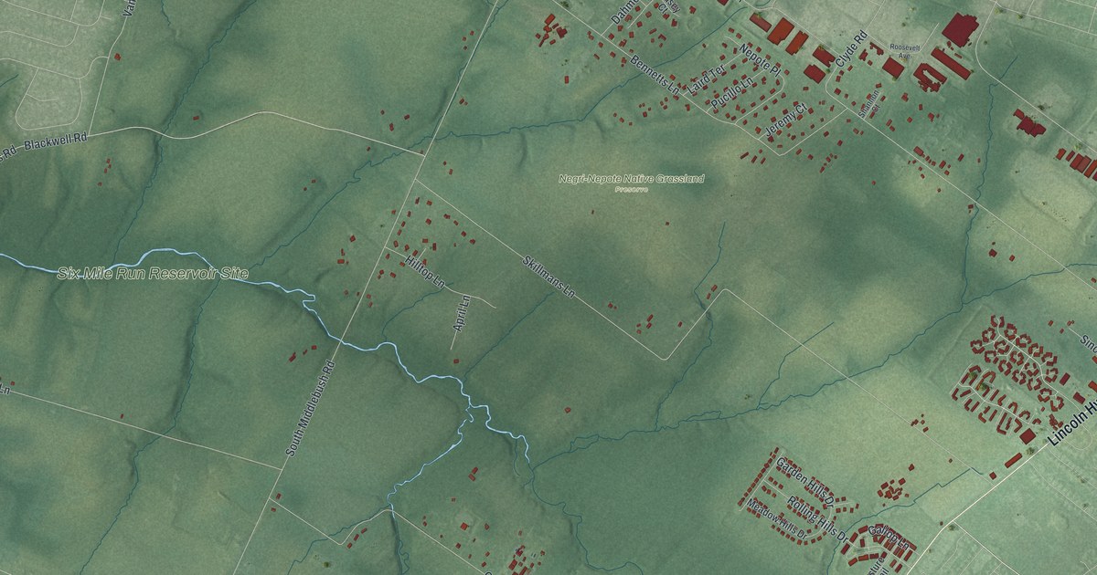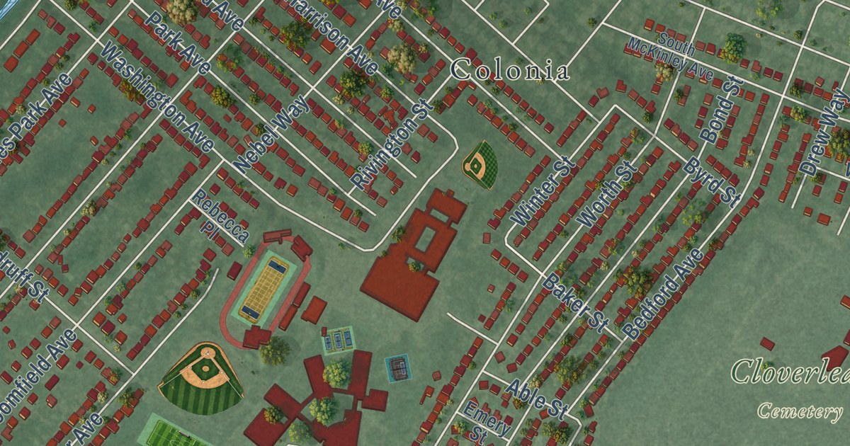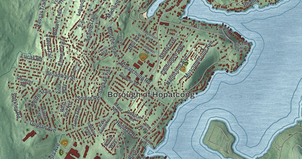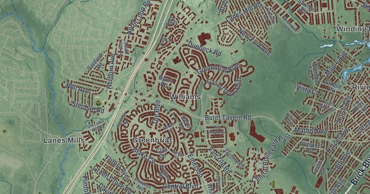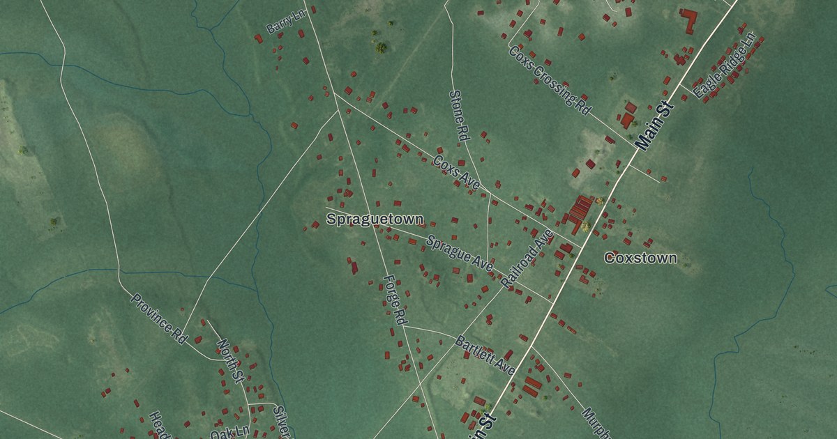
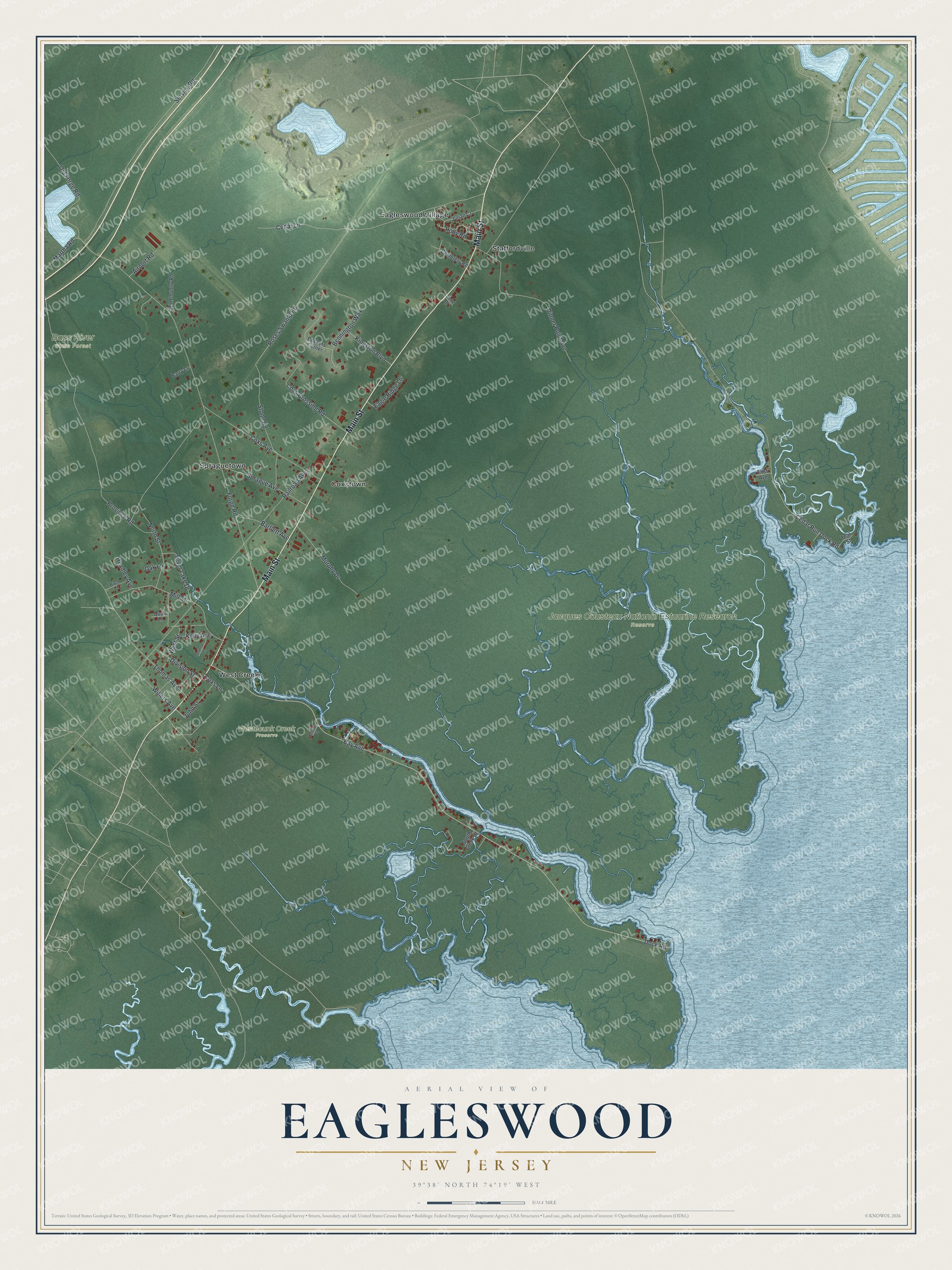
This beautifully detailed map of Eagleswood, New Jersey was created in 2026 using aerial imagery combined with modern topographical, census, street and landmark data. It’s a one-of-a-kind view of Eagleswood that combines accurate data with a vintage aesthetic. The map shows every building in its true location, many of the roads carry their names, and the shaded topographic relief shows the shape of the land.
Explore an aerial view of Eagleswood, New Jersey
On the map you’ll find Bass River State Forest, Jacques Cousteau National Estuarine Research Reserve, Westecunk Creek Preserve, Coxstown, Spraguetown, Staffordville, and West Creek, along with Main Street, West Street, Holly Road, Dock Road, and more. If you look closely you can even find your house accurately drawn in its correct location. Zoom in on the preview to look for yours.
Did You Know?
Captain Hazelton Seaman designed and built the first sneakbox in 1836 in West Creek, a village in Eagleswood Township. He called it the Devil’s Coffin. The village takes its name from Westecunk Creek. That name comes from the Lenape word westeconk, meaning place of fat meat.
Take a closer look at the Eagleswood map
Names on this map
These names are printed on this map.
Places: Bass River State Forest, Jacques Cousteau National Estuarine Research Reserve, Westecunk Creek Preserve, Coxstown, Eagleswood Village, Spraguetown, Staffordville and West Creek.
Streets and roads: Main Street, West Street, Holly Road, Dock Road, Bay Avenue, Forge Road, Province Road, Railroad Avenue, Service Road, Cedar Lane, Dinner Point Avenue, Roses Swamp Road.
More street names, A to Z
Airport Road, Barry Lane, Bartlett Avenue, Beckers Corner, Bennington Way, Bette Drive, Birch Lane, Cedar Run Dock Road, Cemetery Road, Cestone Court, Coxs Avenue, Coxs Crossing Road, Coxs Lane, Division Street, Eagle Ridge Lane, First Avenue, Headley Avenue, John Street, Julian Court, Kelly Avenue, Kingston Boulevard, Martha Road, Mill Street, Murphy Drive, North Street, Oak Lane, Old Country Road, Old Forge Road, Quail Lane, Seaman Lane, Silver Lake Drive, South Creek Drive, Sprague Avenue, Stone Road, Teal Street, Thomas Avenue, Willets Avenue.
See it on a wall
The Eagleswood map as an 18 x 24 inch print in a black frame.

This beautifully detailed map of Eagleswood makes an attractive addition to your office, library, or den, and it can even be used to teach children the geography and history of the area. It also makes a great gift for anyone with Eagleswood roots. When you’re done exploring, click here to get your copy of the Eagleswood map.