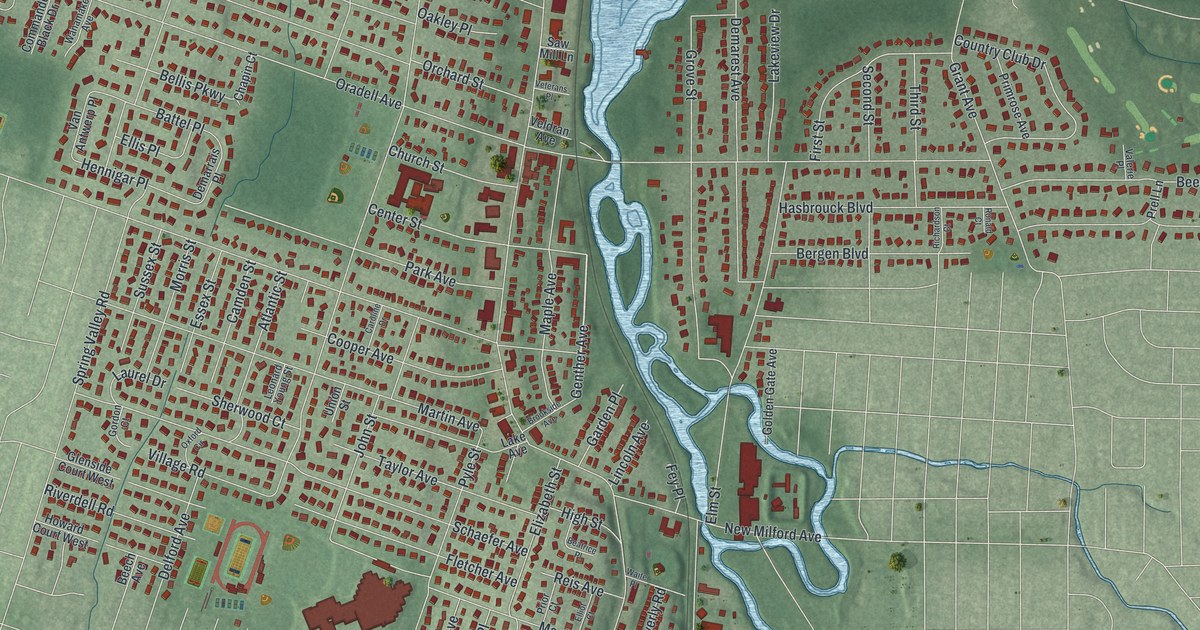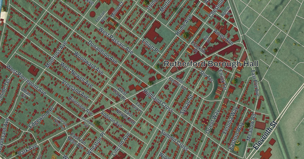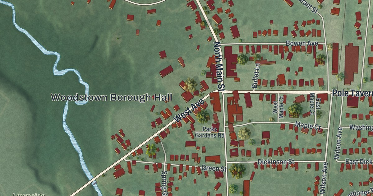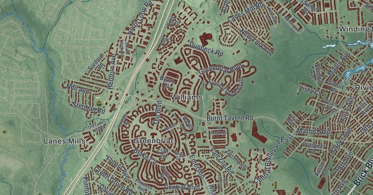
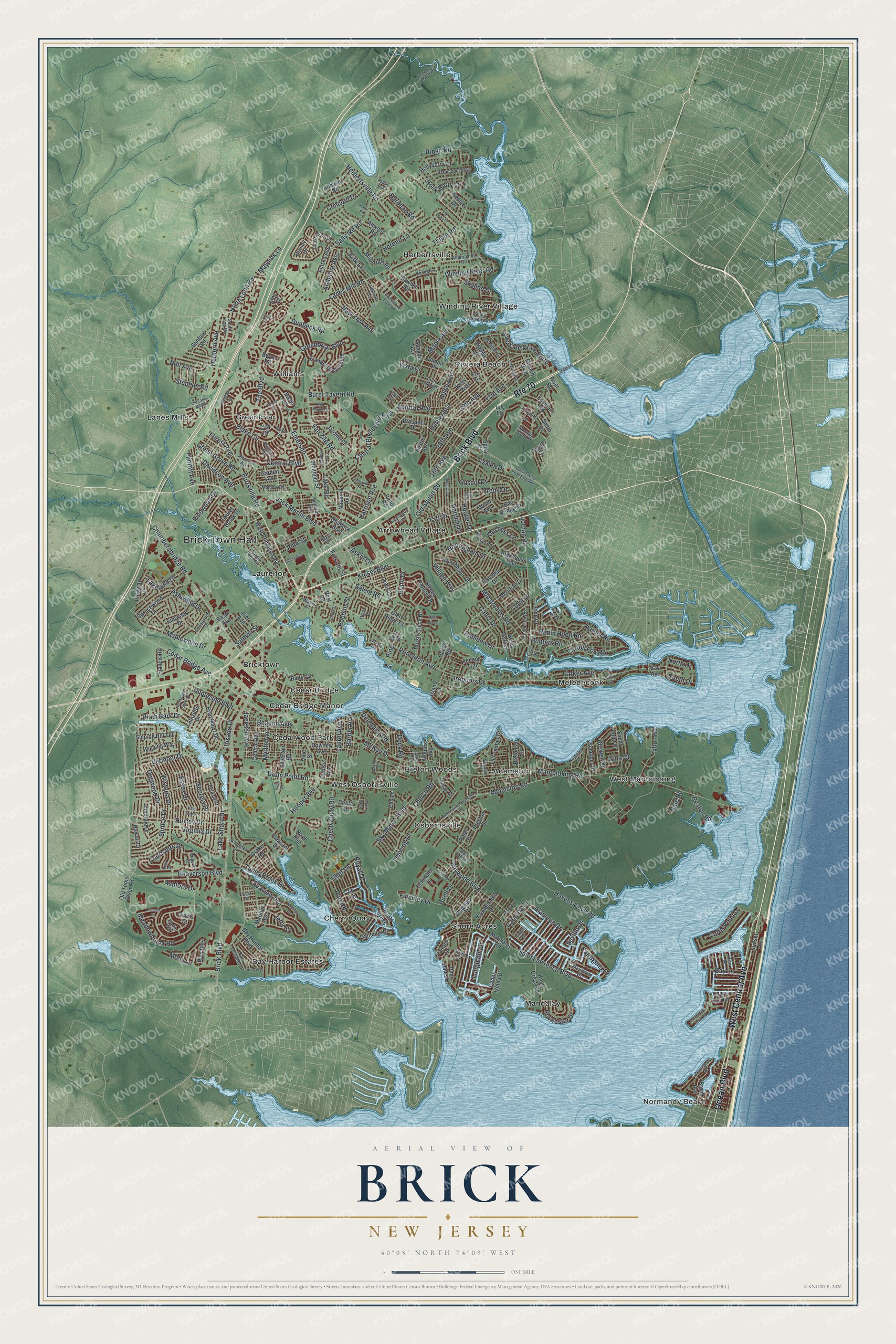
This beautifully detailed map of Brick, New Jersey was created in 2026 using aerial imagery combined with modern topographical, census, street and landmark data. It’s a one-of-a-kind view of Brick that combines accurate data with a vintage aesthetic. The map shows every building in its true location, many of the roads carry their names, and the shaded topographic relief shows the shape of the land.
Explore an aerial view of Brick, New Jersey
On the map you’ll find Brick Town Hall, Normandy Beach, Adamston, Arrowhead Village, Bay Harbor Estates, Breton Woods, Cedar Bridge, Cedar Bridge Manor, Cedarwood Park, Cherry Quay, Greenbriar, and more. If you look closely you can even find your house accurately drawn in its correct location. Zoom in on the preview to look for yours.
Did You Know?
The township is named for Joseph W. Brick, who founded the Bergen Iron Works in 1833. He was one of the leading citizens of the area. He died in 1847, three years before lawmakers carved the new township out of Howell and Dover.
Take a closer look at the Brick map
Names on this map
These names are printed on this map.
Places: Brick Town Hall, Normandy Beach, Adamston, Arrowhead Village, Bay Harbor Estates, Breton Woods, Bricktown, Cedar Bridge, Cedar Bridge Manor, Cedarwood Park, Cherry Quay, Greenbriar, Herbertsville, Lanes Mills, Laurelton, Mandalay, Metedeconk, Osbornsville, Riviera Beach, Shore Acres, West Mantoloking, West Osbornsville, Williams and Winding River Village.
Streets and roads: Brick Boulevard, Route 70, West Central Avenue, Ocean Boulevard, Princeton Avenue, Bay Lane, Birch Drive, Mantoloking Road, Burnt Tavern Road, Hooper Avenue, Drum Point Road, Chambersbridge Road.
More street names, A to Z
16th Avenue, 17th Avenue, 18th Avenue, 19th Avenue, 21st Avenue, Adamston Road, Aida Way, Alabama Avenue, Alameda Drive, Alaska Avenue, Albermarle Road, Algonquin Trail, Allaire Avenue, Allenwood Lakewood Road, Allwood Road, Altier Avenue, Amy Court, Andover Road, Arbutus Avenue, Arjo Drive, Arnold Street, Aschby Drive, Ashford Drive, Ashland Street, Ashwood Drive, Askin Lane, Austin Avenue, Azalea Drive, Baltic Drive, Barber Avenue, Barker Street, Baser Lane, Basin Avenue, Bay Avenue, Bay Bridge Drive, Bay Harbor Boulevard, Bay Oak Drive, Bayview Drive, Baywood Boulevard, Beacon Avenue, Beaton Road, Beaverson Boulevard, Bedford Avenue, Bella Vista Road, Birch Bark Drive, Blake Circle, Branch Boulevard, Brant Drive, Bretonian Drive, Broad Avenue, Brower Drive, Brushy Neck Drive, Bryn Mawr Drive, Burnt Tavern Road Extended, Burrsville Road, Byron Road, Canis Drive, Captains Drive, Carlisa Avenue, Carroll Fox Road, Cartagena Drive, Carter Way, Catalina Drive, Cedar Bridge Avenue, Cedar Island Drive, Cedarwood Drive, Central Avenue, Central Boulevard, Central Boulevard East, Charleson Road, Cherry Quay Road, Church Road, Circle Drive, Clair Avenue, Clay Circle, Colonial Drive, Concord Drive, Constitution Drive, Coral Drive, Courtshire Drive, Cumberland Drive, Curtis Point Drive, Davidson Avenue, Davos Road, Deer Run Lane, Diane Drive, Dock Road, Dogwood Drive, Downey Avenue, Drake Road, Driscol Drive, Duchess Lane, Dunbeck Road, Duquesne Boulevard, Dutchmans Point Road, East Drive, Eastham Road, East Street, Elm Lane, Elmwood Drive, Emerald Drive, Emerson, Essex Drive, Everest Drive South, Fairview Avenue, Finchley Drive, Flintoft Avenue, Folsom Street, Forest Avenue, Forge Pond Road, Francis Road, Frede Drive, Gale Road, Garden Avenue, Georgia Drive, Glen Ridge Court, Greenbriar Boulevard, Green Grove Road, Greenwood Loop Road, Harbor Road, Hardean Road, Harding Drive, Harper Avenue, Harrison Avenue, Havens Cove Road, Hawaii Drive, Helm Road, Herbert Lane, Herbertsville Road, Herborn Avenue, Heritage Drive, Holly Berry Lane, Hollyberry Lane, Hoover Drive, Hulse Avenue, Hunters Road, Huxley Drive, Irisado Drive, Iroquois Drive, Island Drive, Jack Martin Boulevard, Jackson Avenue, Jarome Street, Jetty Court, Jib Lane, John Street, Jordan Road, Karol Road, Kathy Court, Katie Lynn Court, Kelly Avenue, Kent Drive, Kentwood Boulevard, Kieser Boulevard, Kirk Lane, Knoll Crest Avenue, Lafayette Drive, Lakeland Drive, Lake Road, Lake Shore Drive, Lanes Mill Road, Laurel Avenue, Laurel Brook Drive, Lenape Trail, Leone Drive, Leswing Drive, Lewis Lane, Lily Lane, Lindbergh Drive, Longpoint Drive, Mandalay Road, Maple Avenue, Maplewood Drive, Marbro Avenue, Mariner Avenue, Markham Road, Mayfair Court, Maypink Lane, McKay Drive, McKinley Court, Meadowbrook Road, Melody Avenue, Meridian Drive, Midstreams Road, Millbrook Road, Molly Lane, Monterey Drive, Morning Glory Court, Myrtle Avenue, National Avenue, Nautilus Drive, Nebraska Avenue, Neil Avenue, Nejecho Drive, New York Avenue, Nina Court, Normandy Drive, North Drive, North Lake Shore Drive, North Loop Road, North Pier, Nottingham Drive, Oak Forest Drive, Old Lanes Mill Road, Old Squan Road, Old Toms River Road, Orchid Lane, Osbornsville-Adamston Road, Page Drive, Paramount Way, Paris Court, Parker Avenue, Parkway Drive, Paul Jones Drive, Pello Road, Perch Creek, Peter Place, Pier Avenue, Pine, Pinehurst Road, Pine Tree Drive, Pinewood Drive, Pleasant Drive, Point Avenue, Polk Drive, Port Road, Post Road, Preston Street, Princess Avenue, Prospect Drive, Quadara Boulevard, Quincy Drive, Rabbit Run, Rainbow Drive, Red Maple Drive, Regent Court, Revere Drive, Rialto Drive, Ridge Road, Riva Boulevard, River Road, Riverside Drive North, Robbins Street, Robin Hood Road, Rochester Drive, Roosevelt Drive, Royal Drive, Saint Lawrence Boulevard, Salem Road, Sally Ike Road, Salmon Street, Sandy Point Drive, Sanford Road, Sawmill Road, Scheiber Drive, Schindler Drive, Schoener Drive, Seaview Avenue, Seville Drive, Silverton Road, Simon Place, Skyline Drive, Sky Manor Boulevard, Sleepy Hollow Drive, Sloping Hill Terrace, Smith Circle, Smith Drive, South Beverly Drive, South Drive, South Lake Drive, South Loop Road, Spiral Drive, Spruce Drive, Sprucewood Drive, Stephan Road, Sturdy Street, Sullivan Road, Summit Avenue, Sunset Lane, Susan Drive, Taft Drive, Tall Oaks Drive, Tall Timber Drive, Tennis Court, Thames Place, The Boulevard, Thiele Road, Tide Pond Road, Tiller Lane, Tilton Road, Tunes Brook Drive, Vanada Drive, Vanard Drive, Van Cortlandt Drive, Van Zile Road, Venice Drive, Vermont Drive, Village Way, Vine Street, Virginia Drive, Vista Court, Wallis Court, Walnut Drive, Ward Drive, Watkins Road, West Princeton Avenue, Whitman Street, Winchester Drive, Windcrest Court, Winding River Road, Winding Way, Wisteria Drive, Wood Avenue, Yew Place.
See it on a wall
The Brick map as an 18 x 24 inch print in a black frame.

This beautifully detailed map of Brick makes an attractive addition to your office, library, or den, and it can even be used to teach children the geography and history of the area. It also makes a great gift for anyone who grew up in Brick or moved away. When you’re done exploring, click here to get your copy of the Brick map.