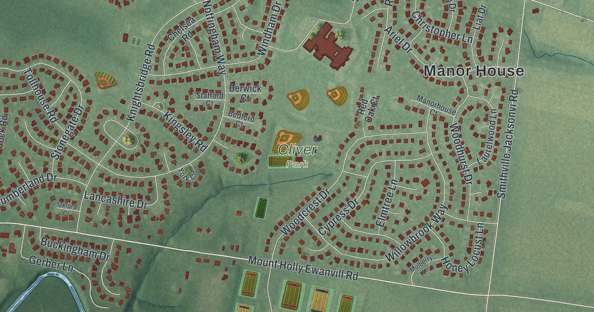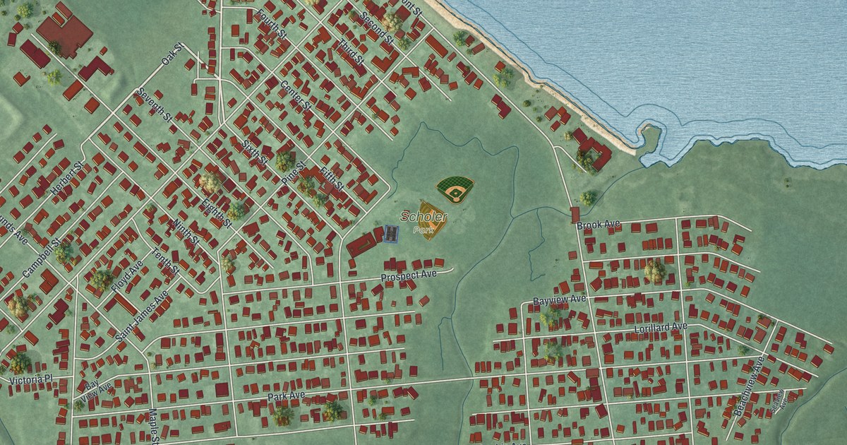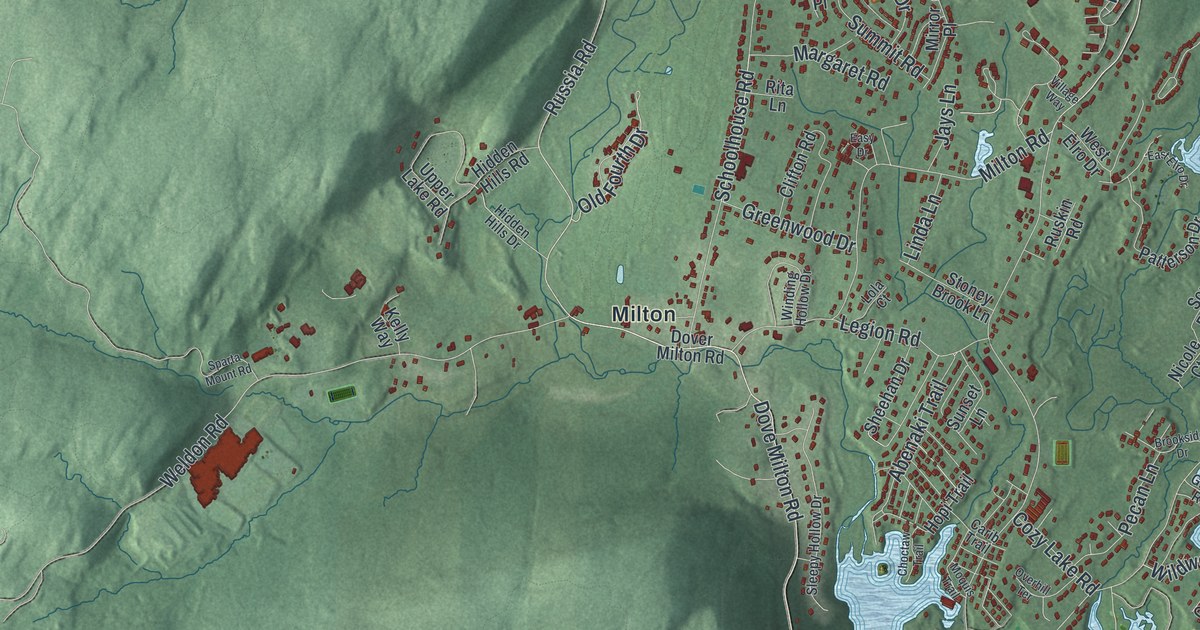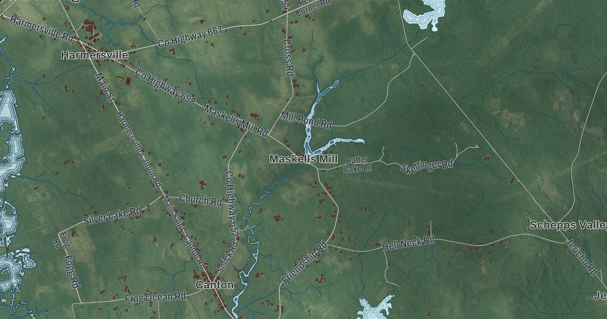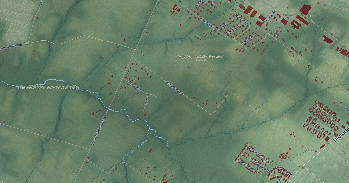
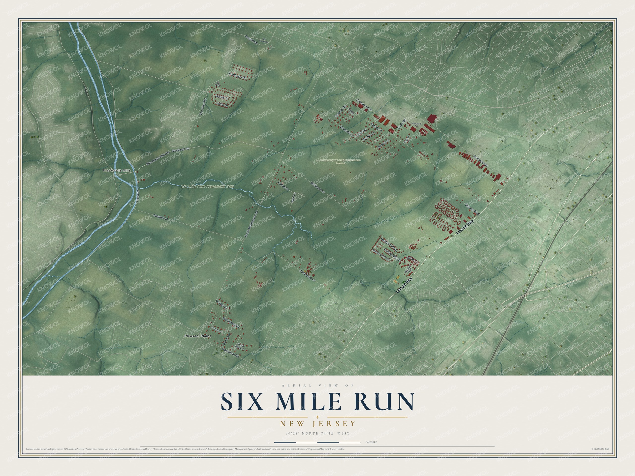
This beautifully detailed map of Six Mile Run, New Jersey was created in 2026 using aerial imagery combined with modern topographical, census, street and landmark data. It's a modern aerial view of Six Mile Run in Somerset County, New Jersey, that combines modern data with a vintage aesthetic. The roads feature printed names, and if you look closely you can find your exact house accurately shown in its correct location.
Explore an aerial view of Six Mile Run, New Jersey
On this map you'll find Blackwells Mills, Negri-Nepote Native Grassland Preserve, Six Mile Run Reservoir Site, Pleasant Plains, Lincoln Highway, South Middlebush Road, Bennetts Lane, Skillmans Lane, Blackwell Road, Blackwells Mills Road, Van Cleef Road, Jacques Lane, and more. Each red shape is a building, so zoom in on the preview and look for yours.
Six Mile Run has a story worth telling. The farmland of Six Mile Run was part of a 10,000 acre tract that eight families of Dutch descent, then living on Long Island, bought from East Jersey Proprietor John Harrison in 1701. In 1703 Jacques Cortelyou laid it out in long farm lots on both sides of a Middle Line, now South Middlebush Road. Its farmers grew wheat for the grist mills along the Millstone River, and the area became known as the breadbasket of the Revolution. That's from the National Register of Historic Places.
Six Mile Run is a community in Somerset County. The Census Bureau counted 3,383 people here in 2020.
Take a closer look at the Six Mile Run map
Names on this map
These names are printed on this map.
Places: Blackwells Mills, Negri-Nepote Native Grassland Preserve, Six Mile Run Reservoir Site and Pleasant Plains.
Streets and roads: Lincoln Highway, South Middlebush Road, Bennetts Lane, Skillmans Lane, Blackwell Road, Blackwells Mills Road, Van Cleef Road, Jacques Lane, Cortelyous Lane, Veronica Avenue, Mattawang Drive, Zeller Drive.
More street names, A to Z
Amwell Road, April Lane, Arrow Head Lane, Canal Road, Claremont Road, Clyde Road, Commerce Drive, Dahmer Road, Gallop Lane, Garden Hills Drive, Hilltop Lane, Jean Court, Jeremy Court, Kasey Court, Laird Terrace, Lenape Drive, Marion Avenue, Meadow Hills Drive, Nepote Place, Old Amwell Road, Pasture Trail, Pucillo Lane, Rolling Hills Drive, Roosevelt Avenue, Shannon Court, Sinclair Boulevard, Staudt Court, Sunflower Road, Unami Court.
See it on a wall
The Six Mile Run map as a framed print. Swipe for more.


Created by KNOWOL in 2026. The buildings are small red shapes, the roads carry their printed names, and shaded relief shows the shape of the land. The title panel reads "AERIAL VIEW OF SIX MILE RUN, NEW JERSEY" with 40°28' NORTH 74°32' WEST.
It looks right in a kitchen, an office or a den, and it's a gift for anyone who grew up in Six Mile Run or moved away. Open the preview and find your street. See sizes and frames for the Six Mile Run map.