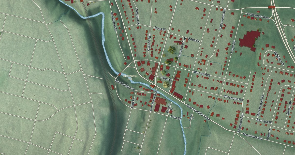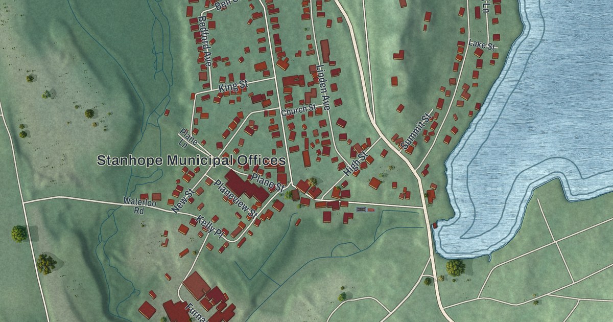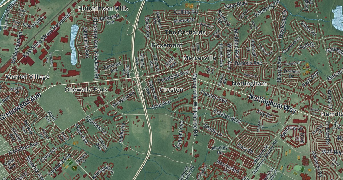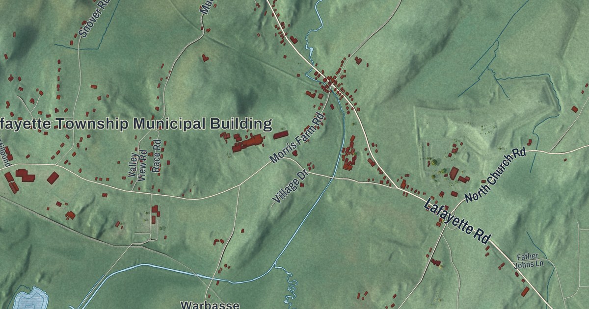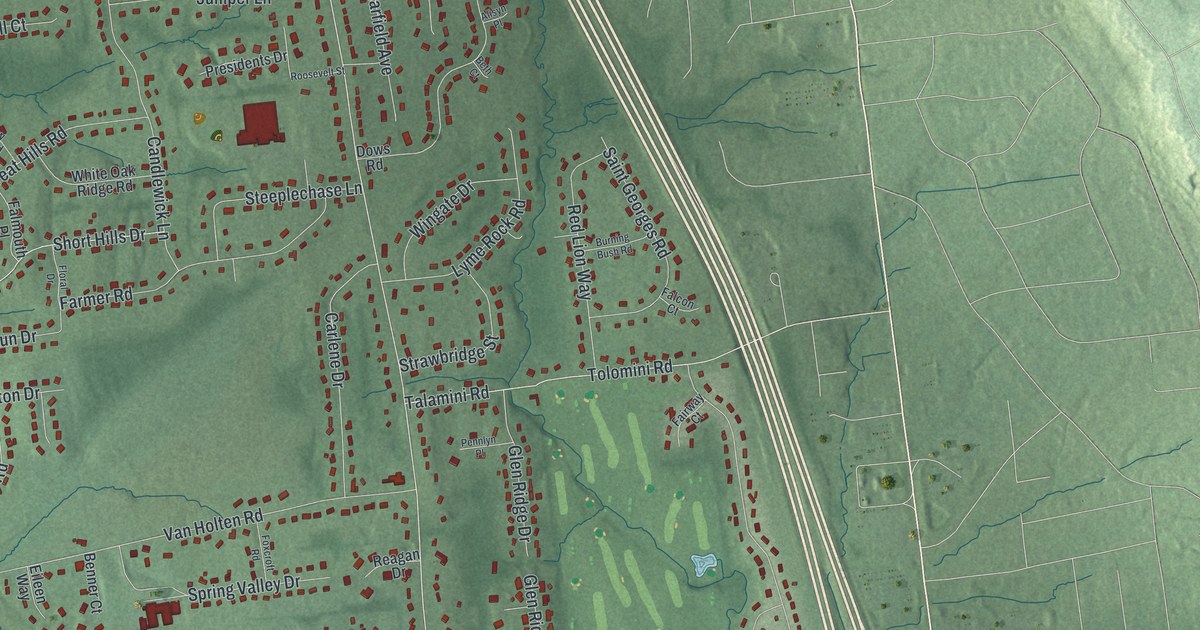
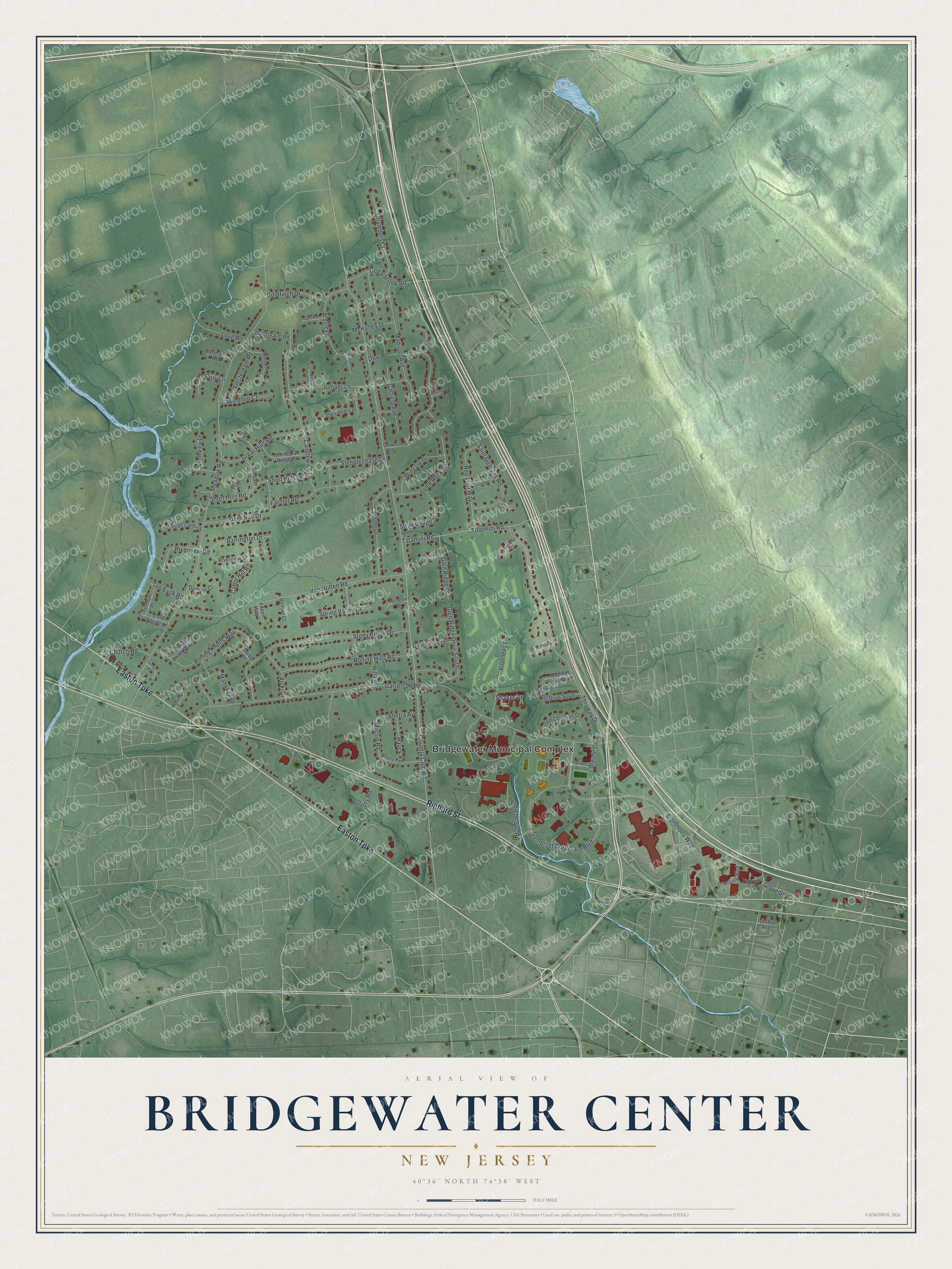
This beautifully detailed map of Bridgewater Center, New Jersey was created in 2026 using aerial imagery combined with modern topographical, census, street and landmark data. It's a modern aerial view of Bridgewater Center in Somerset County, New Jersey, that combines modern data with a vintage aesthetic. The roads feature printed names, and if you look closely you can find your exact house accurately shown in its correct location.
Explore an aerial view of Bridgewater Center, New Jersey
On this map you'll find Bridgewater Municipal Complex, Easton Turnpike, Richard Street, Country Club Road, Somerset Corporate Boulevard, Commons Way, Meadow Road, Garretson Road, Thruway Drive, Van Holten Road, Stony Brook Drive, Dow Road, and more. Each red shape is a building, so zoom in on the preview and look for yours.
Bridgewater Center has a story worth telling. In June 1825 Andrew Van Pelt and his wife gave a parcel on the high east side of the North Branch River, for one dollar, to be held for a church. That September the first elders and deacons of the North Branch Church were ordained, and the church still stands on that original lot. Before that, by 1821, more than a thousand people came to a single revival meeting at Abraham Dumont's barn on the edge of the village. That's from the North Branch Reformed Church.
Bridgewater Center is a community in Somerset County. The Census Bureau counted 6,082 people here in 2020.
Take a closer look at the Bridgewater Center map
Names on this map
These names are printed on this map.
Places: Bridgewater Municipal Complex.
Streets and roads: Easton Turnpike, Richard Street, Country Club Road, Somerset Corporate Boulevard, Commons Way, Meadow Road, Garretson Road, Thruway Drive, Van Holten Road, Stony Brook Drive, Dow Road, Candlewick Lane.
More street names, A to Z
Alisyn Place, Alletra Avenue, Amsterdam Road, Ardsley Lane, Barrington Drive, Bellerive Court, Benner Court, Beth Court, Burning Bush Road, Byk Place, Cabot Hill Road, Carlene Drive, Cedarbrook Road, Chambers Court, Church Road, Claude Drive, Cold Spring Lane, Cory Lane, Crossing Boulevard, Darby Place, Deer Run Drive, Donald Drive North, Donald Drive South, Dows Road, Dumont Court, Dutch Farm Road, Eileen Way, Eisenhower Avenue, Ethicon Svc Road, Fairway Court, Falcon Court, Falmouth Place, Farmer Road, Floral Drive, Foxcroft Road, Fox Run, Garfield Avenue, Glen Ridge Drive, Glen Ridge Drive South, Goldfinch Drive, Golf Links Drive, Great Hills Road, Gregory Avenue, Grove Street, Hanlon Drive, Hauck Road, Helfreds Landing, Hill Lane, Holland Court, Ivanhoe Avenue, John Christian Drive, Juniper Lane, Lenape Road, Love Road, Lyme Rock Road, Madison Avenue, Mahnken Drive, McKinley Street, Milcrip Road, Mohawk Trail, New Hill Road, North Branch Road, North View Drive, Pannone Drive, Pennlyn Place, Powelson Lane, Presidents Drive, Raymond Court, Reagan Drive, Rectory Road, Red Lion Way, Reynard Road, Riverview Drive, Riverview Road, Rolling Hills Road, Rolling Knolls Way, Roosevelt Street, Saint Georges Road, Short Hills Drive, Short Hills Road, Spring Valley Drive, Steeplechase Lane, Strawbridge Street, Stryker Court, Talamini Road, Ten Eyck Road, Tolomini Road, Turnbull Place, Vicki Drive, Voorhees Lane, White Oak Ridge Road, Winding Brook Way, Windmill Court, Wingate Drive.
See it on a wall
The Bridgewater Center map as a framed print. Swipe for more.


Created by KNOWOL in 2026. The buildings are small red shapes, the roads carry their printed names, and shaded relief shows the shape of the land. The title panel reads "AERIAL VIEW OF BRIDGEWATER CENTER, NEW JERSEY" with 40°36' NORTH 74°38' WEST.
It looks right in a kitchen, an office or a den, and it's a gift for anyone who grew up in Bridgewater Center or moved away. Open the preview and find your street. See sizes and frames for the Bridgewater Center map.