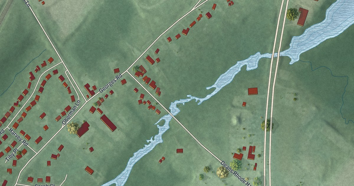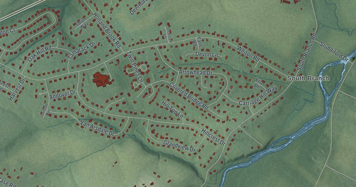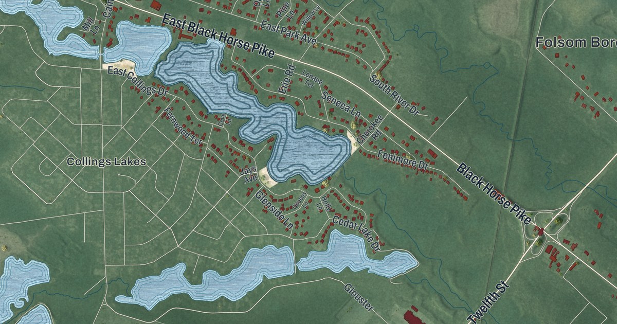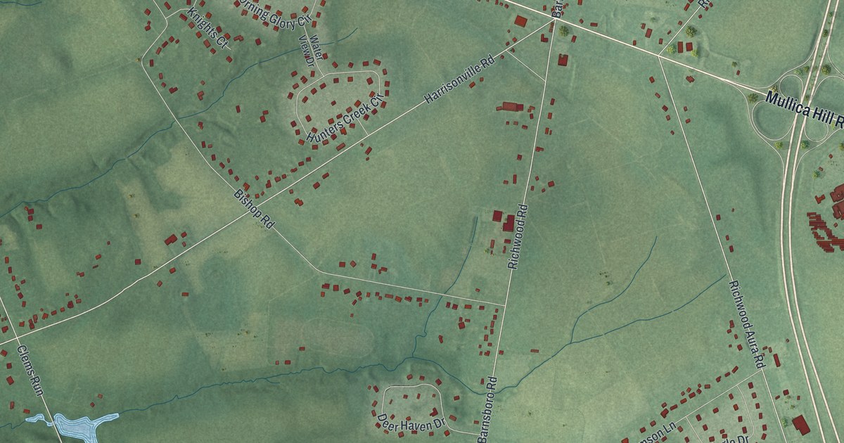
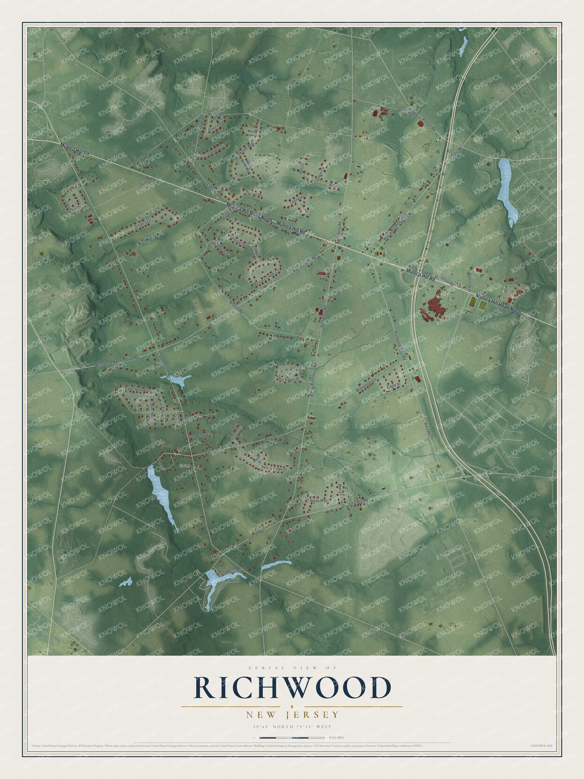
This beautifully detailed map of Richwood, New Jersey was created in 2026 using aerial imagery combined with modern topographical, census, street and landmark data. It's a modern aerial view of Richwood in Gloucester County, New Jersey, that combines modern data with a vintage aesthetic. The roads feature printed names, and if you look closely you can find your exact house accurately shown in its correct location.
Explore an aerial view of Richwood, New Jersey
On this map you'll find Ewan, Mullica Hill Road, Mullica Hill Road North, Harrisonville Road, Clems Run, Richwood Aura Road, Richwood Road, Elmer Barnsboro Road, Bishop Road, Ellis Mill Road, Ferrell Road, Aura Road, and more. Each red shape is a building, so zoom in on the preview and look for yours.
Here is a piece of Richwood history. In 1860 Francis A. and Abigail Campbell deeded a two acre lot at the southern edge of Richwood to trustees to build a Methodist church. Its ornate plaster interior, with decoration picked out in gold leaf and a gilded chandelier, was called one of the finest of its kind in the area. That's from the National Register of Historic Places.
Richwood is a community in Gloucester County. The Census Bureau counted 3,577 people here in 2020.
Take a closer look at the Richwood map
Names on this map
These names are printed on this map.
Places: Ewan.
Streets and roads: Mullica Hill Road, Mullica Hill Road North, Harrisonville Road, Clems Run, Richwood Aura Road, Richwood Road, Elmer Barnsboro Road, Bishop Road, Ellis Mill Road, Ferrell Road, Aura Road, Ewan Road.
More street names, A to Z
332nd Road, Alexa Way, Balis Court, Balis Drive, Barnsboro Road, Beaver Court, Brookside Way, Carrie Lynne Court, Cedar Road, Deer Haven Drive, Dillon's Lane, Eagle Drive, Edison Parkway, Emerald Lane, Fawn Hollow Lane, Fox Hollow Lane, Fox Run Avenue, Garnet Street, Gehring Court, Golf Club Road, Green Lane, Griffin Road, Harvest Mill, Heilig Road, Hunters Creek Circle, Jackson Road, Knights Court, Lambs Road, Lange Court, Lange Lane, Laurel Court, Leonard Court, Leonard Lane, Lynx Court, Main Street, Maria Elena Drive, Morning Glory Circle, New Street, Otter Court, Peach Ridge Drive, Pitman Road, Ponds View Court, Richwood Harrisonville Road, Richwood Pitman Road, Rolling Brook Way, Salvatore Drive, Shady Lane, Sherwin Road, Shetland Court, Squirrel Court, Water View Drive, Williamson Lane, Woodbury Drive.
See it on a wall
The Richwood map as a framed print. Swipe for more.


Created by KNOWOL in 2026. The buildings are small red shapes, the roads carry their printed names, and shaded relief shows the shape of the land. The title panel reads "AERIAL VIEW OF RICHWOOD, NEW JERSEY" with 39°43' NORTH 75°10' WEST.
It suits a den, a classroom or a front hall, and it makes a gift for anyone with Richwood roots. Open the preview and find the block you know. See sizes and frames for the Richwood map.