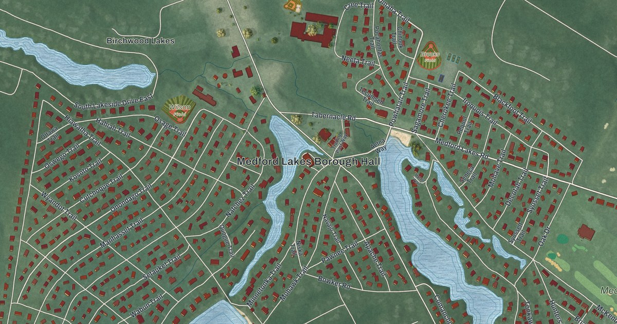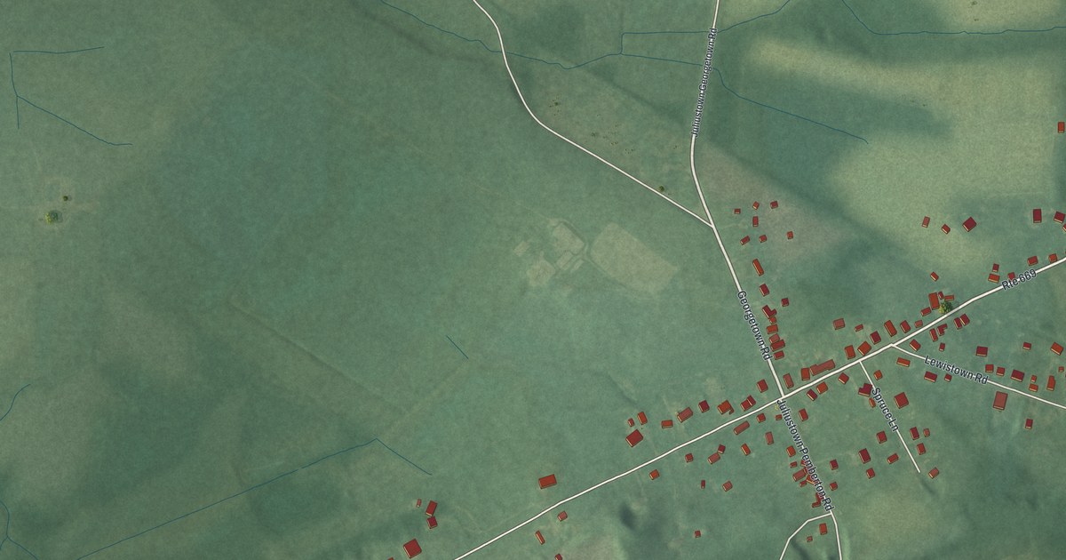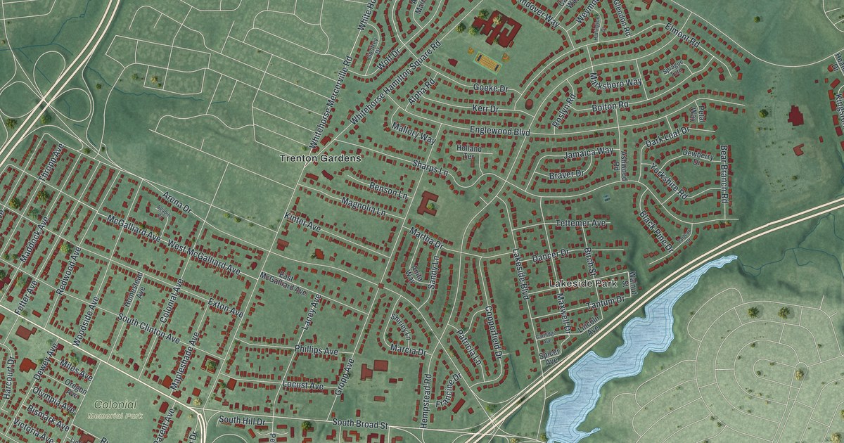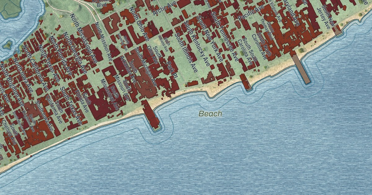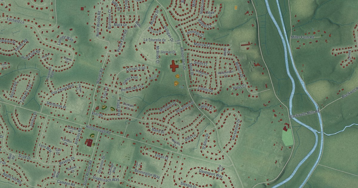
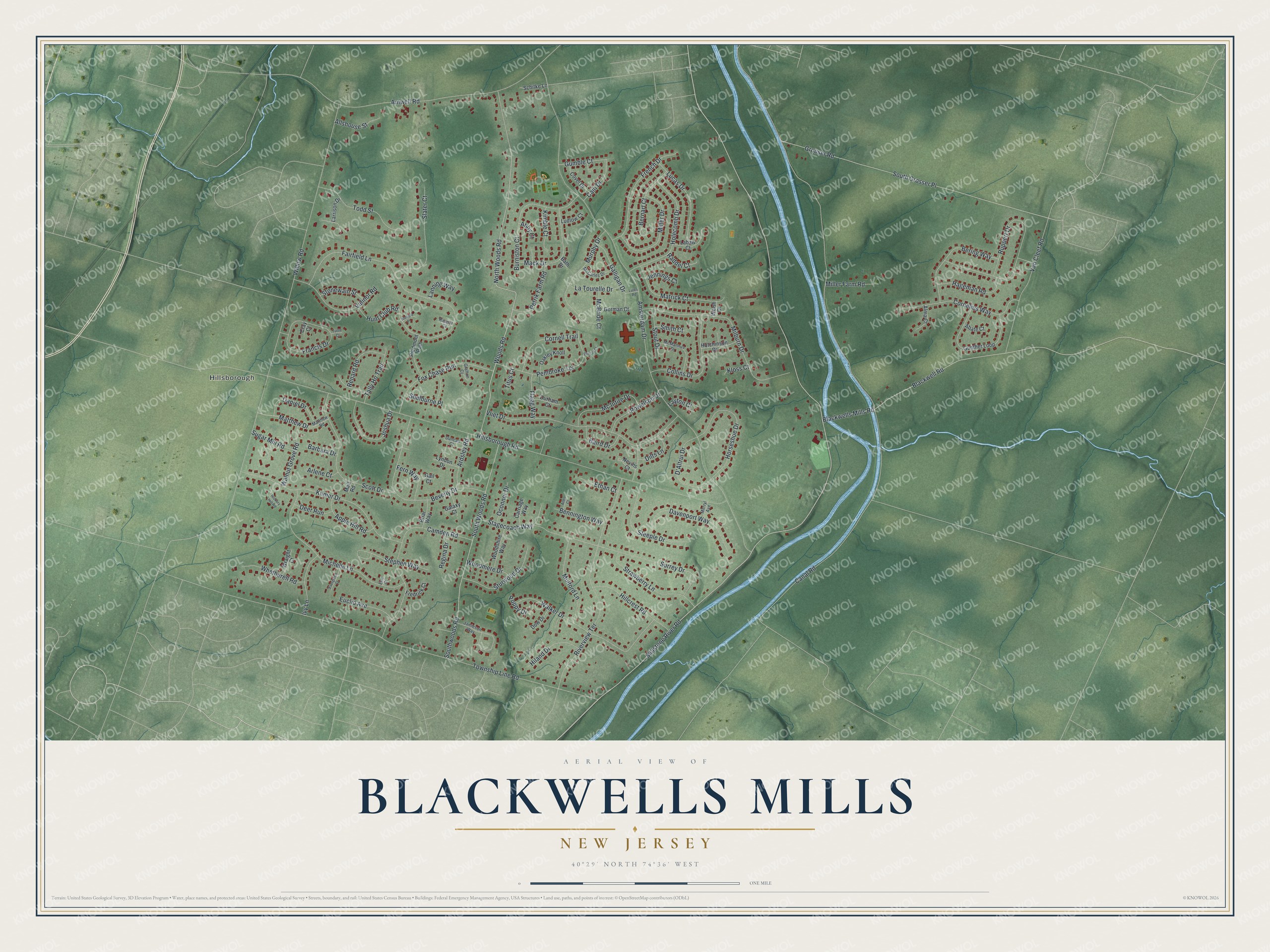
This beautifully detailed map of Blackwells Mills, New Jersey was created in 2026 using aerial imagery combined with modern topographical, census, street and landmark data. It's a modern aerial view of Blackwells Mills in Somerset County, New Jersey, that combines modern data with a vintage aesthetic. The roads feature printed names, and if you look closely you can find your exact house accurately shown in its correct location.
Explore an aerial view of Blackwells Mills, New Jersey
On this map you'll find Hillsborough, North Woods Road, Woods Road, Millstone River Road, Canal Road, Amsterdam Drive, Willow Road, Hillsborough Road, Township Line Road, Fairfield Lane, Grouser Road, South Grosser Place, and more. Each red shape is a building, so zoom in on the preview and look for yours.
Every town has a first chapter, and Blackwells Mills is no exception. A mill has stood at Blackwells Mills since 1746, first built by Peter Schenck on the west bank of the Millstone River. On August 11, 1766, the New Millstone church was organized at Peter Schenck's house there, and Archibald Mercer later owned the mill that came to be known as Blackwell's Mills. A post office opened there in 1872. That's from the History of Hunterdon and Somerset Counties.
Blackwells Mills is a community in Somerset County. The Census Bureau counted 9,473 people here in 2020.
Take a closer look at the Blackwells Mills map
Names on this map
These names are printed on this map.
Places: Hillsborough.
Streets and roads: North Woods Road, Woods Road, Millstone River Road, Canal Road, Amsterdam Drive, Willow Road, Hillsborough Road, Township Line Road, Fairfield Lane, Grouser Road, South Grosser Place, Riverview Terrace.
More street names, A to Z
Abate Court, Abby Court, Allen Court, Allshouse Street, Alma Court, Amwell Road, Apple Hill Road, Ardsley Road, Arlene Court, Baird Drive, Barbara Drive, Bath Drive, Bennington Way, Bering Way, Bernart Court, Beverly Drive, Blackwell Road, Blackwells Mills Road, Briar Way, Burniston Court, Cain Drive, Camden Road, Carriage Way, Collins Drive, Cornelius Way, Cornell Trail, Covel Drive, Cray Court, D'Altrui Drive, Daniel Drive, Davenport Way, Deer Run, Dilts Lane, Dow Drive, Duncan Court, Durham Court, Eric Court, Ethan Court, Euclid Avenue, Evergreen Court, Fern Way, Flagg Way, Fox Chase Run, Francis Drive, Fredrick Court, French Drive, Gail Court, Galaxy Court, Galligan Drive, Gorman Court, Grafton Court, Gumble Court, Gunther Loop, Hageman Road, Harford Place, Hickory Hill Road, Hiland Drive, Hillcrest Road, Holecomb Drive, Horseshoe Drive, Hunt Club Road, Hutchinson Drive, Ivy Lane, Jamieson Way, Jennings Court, Joshua Drive, Kilmer Drive, Kimble Court, Kloss Court, Labaw Court, Lanning Way, Larrison Drive, La Tourelle Drive, Layton Court, Lucas Drive, Ludlow Court, Lutes Road, Lyndon Drive, Mack Drive, Mall Road, Matrick Court, Matthew Drive, Matthew Road, McBride Court, McCarles Drive, Mc Intire Drive, McMannus Drive, Merryl Avenue, Michelle Lane, Milburn Drive, Miller Drive, Miller Farm Road, Mulford Lane, Murphy Drive, Nevins Court, Oakley Knoll, Oconnor Drive, Pembroke Terrace, Petrik Farm Road, Piedmont Path, Poppy Drive, Powelson Drive, Raddel Court, Radnor Court, Regina Drive, Renard Road, Ruppert Drive, Schilke Lane, Scott Drive, Shelburne Place, Slater Court, Smith Court, South Woods Road, Southwoods Road, Stagecoach Way, Steeple Drive, Stephen Way, Stonewain Street, Stout Drive, Strawberry Lane, Sturwood Drive, Sugar Mill Road, Surrey Drive, Tally Ho Trail, Titus Court, Todd Street, Tuttle Court, Valinor Road, Van Cleef Road, Vliet Drive, Walker Drive, Walnut Grove Road, Welsh Drive, Whetherell Road, Wincot Court, Woodmere Drive, Woodshire Way, Wraight Court.
See it on a wall
The Blackwells Mills map as a framed print. Swipe for more.


Created by KNOWOL in 2026. The buildings are small red shapes, the roads carry their printed names, and shaded relief shows the shape of the land. The title panel reads "AERIAL VIEW OF BLACKWELLS MILLS, NEW JERSEY" with 40°29' NORTH 74°36' WEST.
Hang it in the hallway, the office or the cabin, or give it to someone who left Blackwells Mills and still calls it home. Open the preview and look for a street you know. See sizes and frames for the Blackwells Mills map.