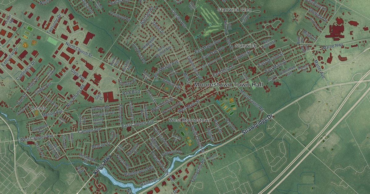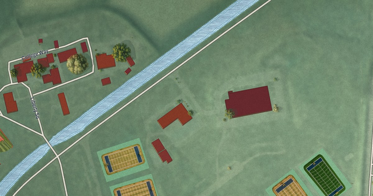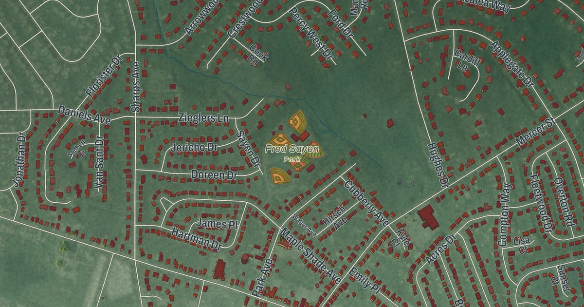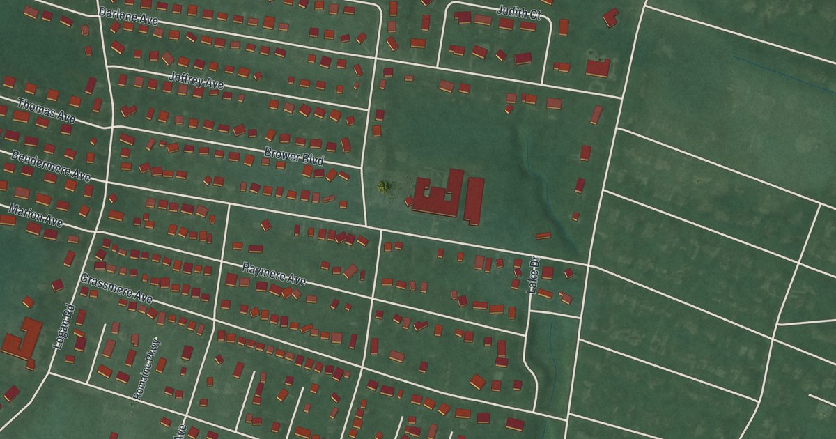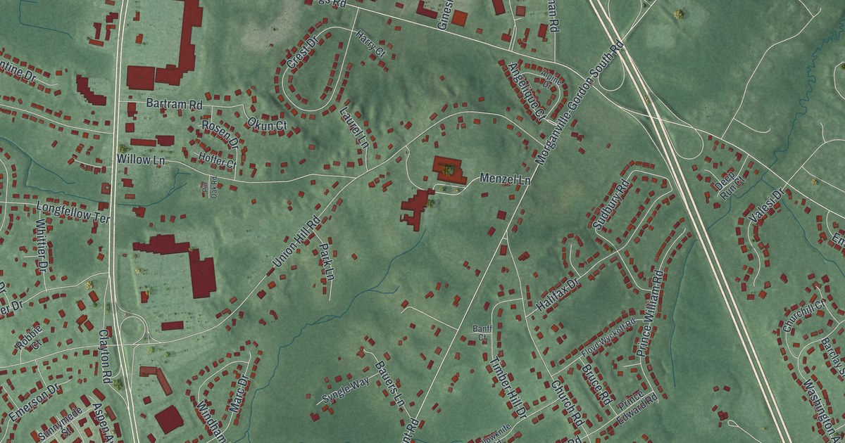
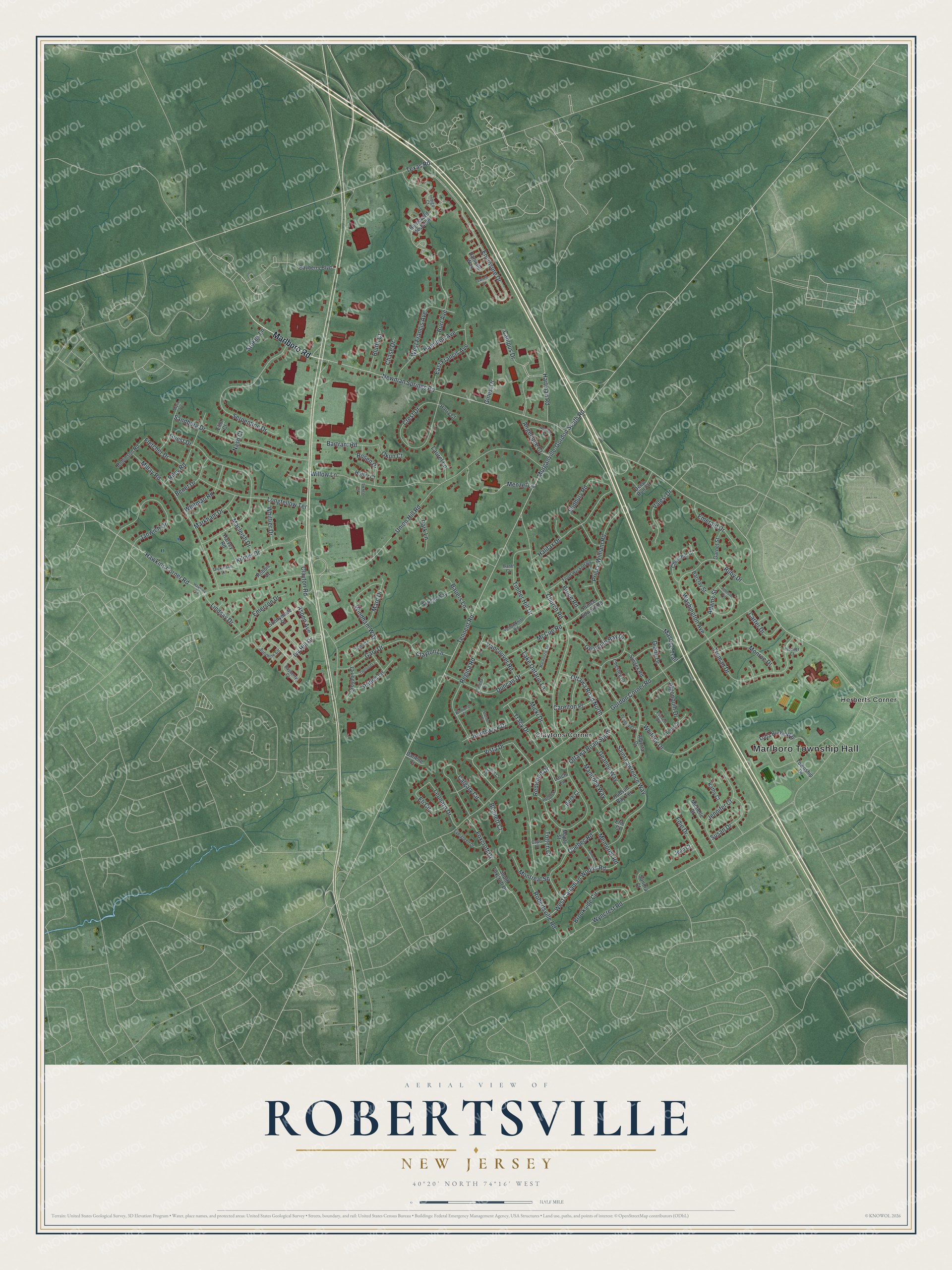
This beautifully detailed map of Robertsville, New Jersey was created in 2026 using aerial imagery combined with modern topographical, census, street and landmark data. It's a modern aerial view of Robertsville in Monmouth County, New Jersey, that combines modern data with a vintage aesthetic. The roads feature printed names, and if you look closely you can find your exact house accurately shown in its correct location.
Explore an aerial view of Robertsville, New Jersey
On this map you'll find Marlboro Township Hall, Claytons Corner, Herberts Corner, Marlboro Road, Campus Drive, Vista Drive, Menzel Lane, Angelique Court, Newman Springs Road, Tennent Road, Union Hill Road, Wyncrest Road, and more. Each red shape is a building, so zoom in on the preview and look for yours.
Every town has a first chapter, and Robertsville is no exception. Robertsville grew up around a tavern opened about 1830 by a man named Bowne. In 1835 the place was sold to Mathew Roberts, who kept the tavern until his death in 1876. The schoolhouse, built in 1832, also served the Methodists, who held services in it from the start. That's from the History of Monmouth County.
Robertsville is a community in Monmouth County. The Census Bureau counted 11,399 people here in 2020.
Take a closer look at the Robertsville map
Names on this map
These names are printed on this map.
Places: Marlboro Township Hall, Claytons Corner and Herberts Corner.
Streets and roads: Marlboro Road, Campus Drive, Vista Drive, Menzel Lane, Angelique Court, Newman Springs Road, Tennent Road, Union Hill Road, Wyncrest Road, Gordon Corner Road, Enclosure Drive, Church Road.
More street names, A to Z
Adams Street, Alberta Drive, Algonquin Drive, Alpine Drive, Aspen Avenue, Banff Court, Barclay Street, Bartram Road, Bauers Lane, Bayberry Boulevard, Bayberry Court, Benet Drive, Bennett Court, Birch Court, Bluffs Court, Boulevard de Jardin, Brookside Circle, Bruce Road, Brunswick Drive, Burr Avenue, Calgary Circle, Capo Drive, Carelton Place, Carter Drive, Chase Drive, Chesley Court, Churchill Court, Clayton Lane, Clayton Road, Crest Drive, Croydon Court, Danielle Way, Darlene Court, Deep Run Court, Diane Drive, Dickinson Lane, Duncan Drive, East Francis Avenue, Edie Drive, Eli Circle, Eliot Court, Emerald Drive, Emerson Drive, Erie Court, Everett Court, Evergreen Drive, Fletcher Drive, Floyd Wyckoff Road, Foxcroft Drive, Garnet Street, Gary Drive, Geanne Way, Georgian Bay Drive, Ginesi Drive, Guest Drive, Halifax Drive, Hamilton Avenue, Harry Court, Hartman Road, Harvey Road, Hawkins Corner Road, Hawkins Road, Helena Court, Hemlock Lane, Hoffer Court, Hoover Court, Hudson Bay Terrace, Indigo Court, Ivy Hill Drive, Janwich Drive, Jarrett Court, Jean Court, Jennifer Court, Johnson Circle, Kathy Court, Kilmer Drive, Lake Ontario Lane, Larch Lane, Laurel Lane, Leonard Drive, Lindsay Drive, Longfellow Terrace, Lotta Burke Way, Mackenzie Terrace, Macleish Drive, Manitoba Way, Maple Street, Marc Drive, Markham Drive, Masepe Trail, McCue Road, Memorial Road, Michelle Court, Micki Drive, Millay Road, Monroe Drive, Montreal Square, Morganville-Gordon South Road, Nash Court, Okun Court, Ottawa Road North, Ottawa Road South, Oxford Court, Pamela Street, Park Lane, Pembroke Court, Pin Oak Road, Prides Lane, Prince Edward Road, Prince William Road, Quebec Road, Redwood Drive, Regina Road, Rene Drive, Riley Road, Robbie Court, Robertsville Road, Robinson Road, Rosen Drive, Ruby Drive, Saint Lawrence Way, Sami Court, Sandburg Drive, Sandra Court, Serpentine Drive, South Foxcroft Drive, Stetson Place, Stokes Lane, Sudbury Road, Sunnymede Street, Sunshine Circle, Susan Drive, Sussex Road, Syngle Way, Texas Road, Thetford Lane, Timber Hill Drive, Totten Court, Township Drive, Tracy Drive, Truman Drive, Valesi Drive, Vancouver Road, Washington Avenue, West Canadian Woods Road, West Francis Avenue, Whitman Road, Whitney Drive, Whittier Drive, Willow Lane, Windham Way, Winnipeg Court, Wylie Terrace, Yellowknife Road.
See it on a wall
The Robertsville map as a framed print. Swipe for more.


Created by KNOWOL in 2026. The buildings are small red shapes, the roads carry their printed names, and shaded relief shows the shape of the land. The title panel reads "AERIAL VIEW OF ROBERTSVILLE, NEW JERSEY" with 40°20' NORTH 74°16' WEST.
Hang it in the hallway, the office or the cabin, or give it to someone who left Robertsville and still calls it home. Open the preview and look for a street you know. See sizes and frames for the Robertsville map.