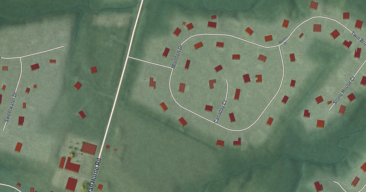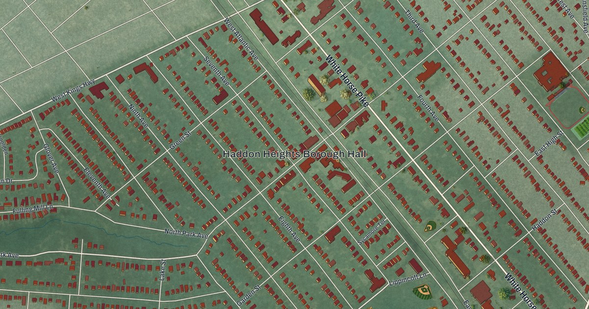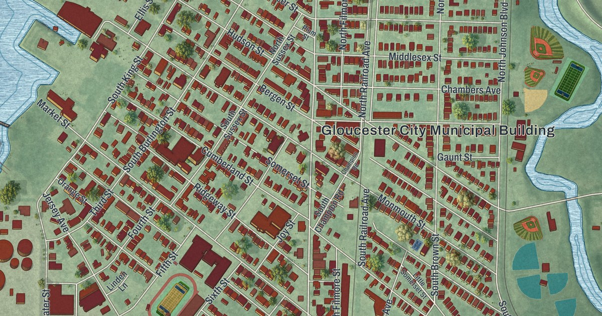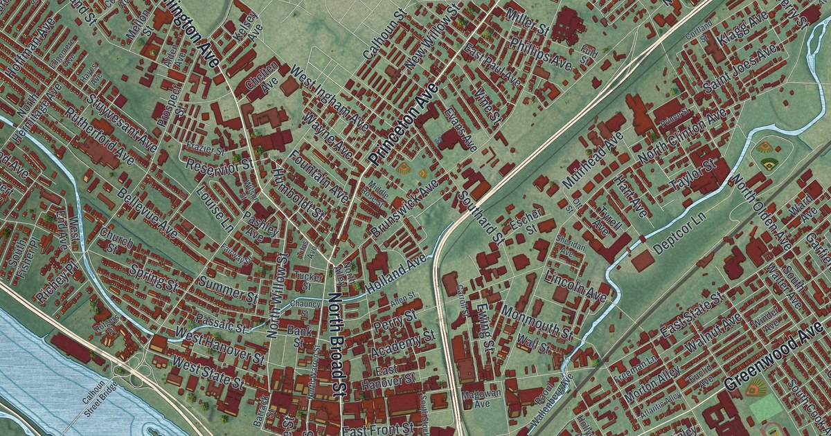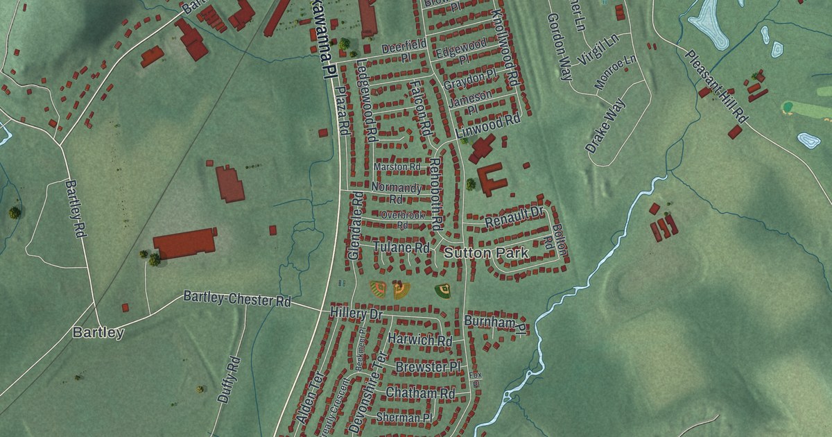
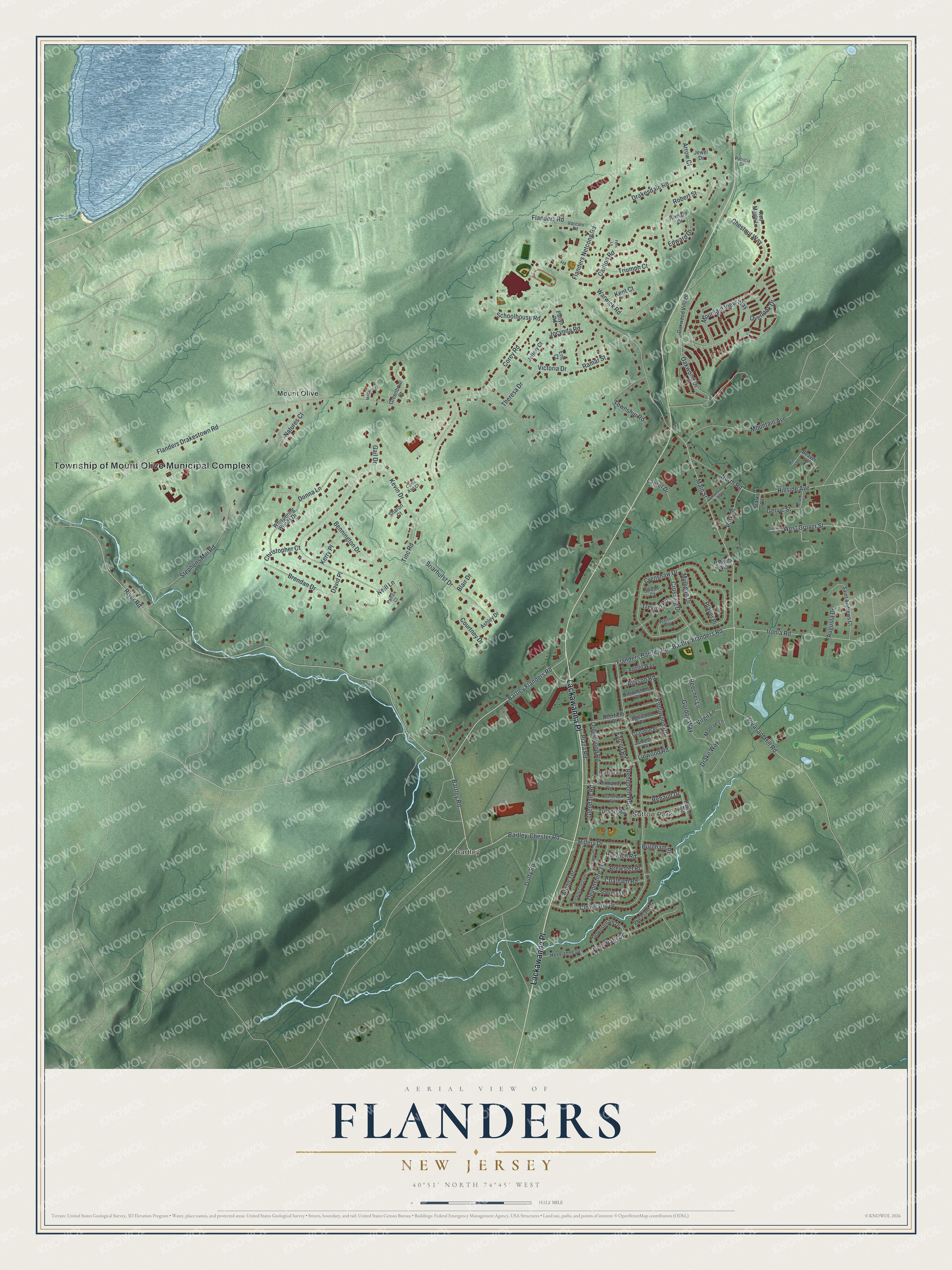
This beautifully detailed map of Flanders, New Jersey was created in 2026 using aerial imagery combined with modern topographical, census, street and landmark data. It’s a one-of-a-kind view of Flanders that combines accurate data with a vintage aesthetic. The map shows every building in its true location, many of the roads carry their names, and the shaded topographic relief shows the shape of the land.
Explore an aerial view of Flanders, New Jersey
On the map you’ll find Township of Mount Olive Municipal Complex, Sutton Park, Bartley, Mount Olive, and Lackawanna Place, along with River Road, Bartley Road, Bartlry-Flanders Road, Bartley Flanders Road, Hillside Avenue, Pleasant Hill Road, Main Street, and more. If you look closely you can even find your house accurately drawn in its correct location. Zoom in on the preview to look for yours.
Take a closer look at the Flanders map
Names on this map
These names are printed on this map.
Places: Township of Mount Olive Municipal Complex, Sutton Park, Bartley and Mount Olive.
Streets and roads: Lackawanna Place, River Road, Bartley Road, Bartlry-Flanders Road, Bartley Flanders Road, Hillside Avenue, Pleasant Hill Road, Main Street, Flanders Bartley Road, Bartley-Chester Road, Oakwood Drive, Ironia Road.
More street names, A to Z
Alden Terrace, Allyson Road, Apollo Way, Arrow Court, Ashley Drive, Augusta Drive, Beaver Lane, Beecher Lane, Beekmeer Place, Bennington Drive, Blair Drive, Bolton Road, Brearly Crescent, Brendan Drive, Brewster Place, Briarhurst Drive, Brownstone Place, Burnham Place, Carla Ann Court, Carlton Road, Chatham Road, Chestnut Way, Christopher Court, Clark Lane, Clover Hill Drive, Corey Road, Courtney Drive, Crenshaw Drive, Crossing Drive, David Place, Deerfield Place, Deer Path Drive, Devonshire Terrace, Donna Lane, Downstream Drive, Drakesdale Road, Drake Way, Duffy Road, Edgewood Place, Edward Drive, Eric Court, Falcon Road, Fells Lane, Flanders Drakestown Road, Flanders Netcong Road, Flanders Road, Fox Place, Gail Drive, Gervic Street, Glendale Road, Gordon Way, Graydon Place, Greenbriar Court, Grover Street, Harwich Road, Hermanne Drive, Hillery Drive, Jameson Place, Jeffery Court, Jewel Drive, Jocynda Road, Kent Court, Kerry Place, Kevin Drive, Knollwood Road, Laurel Drive, Ledgewood Road, Linwood Road, Marston Road, McCain Court, Monroe Lane, Mountain Avenue, Mountain View Way, Mulligan Drive, Natures Court, Neill Lane, Normandy Road, North Road, Oakwood Village, Overbrook Road, Overlook Drive, Park Place, Patlyn Road, Patricia Drive, Patrick Court, Patriots Way, Pheasant Court, Pine Lane, Player Place, Plaza Road, Railroad Avenue, Ramar Street, Red Maple Lane, Rehoboth Road, Renault Drive, Richard Drive, Robert Street, Saint Andrews Court, Schoolhouse Road, Sharon Court, Sherman Place, Snead Court, Starks Lane, Stephens Mill Road, Theresa Drive, Tinc Road, Township Road, Trevino Road, Triumph Court, Tulane Road, Vaccaro Road, Victoria Drive, Virgil Lane, Warwick Road, Watson Way, West Grover Street, Whispering Woods Drive.
See it on a wall
The Flanders map as an 18 x 24 inch print in a black frame.

This beautifully detailed map of Flanders makes an attractive addition to your office, library, or den, and it can even be used to teach children the geography and history of the area. It also makes a great gift for anyone who grew up in Flanders or moved away. When you’re done exploring, click here to get your copy of the Flanders map.