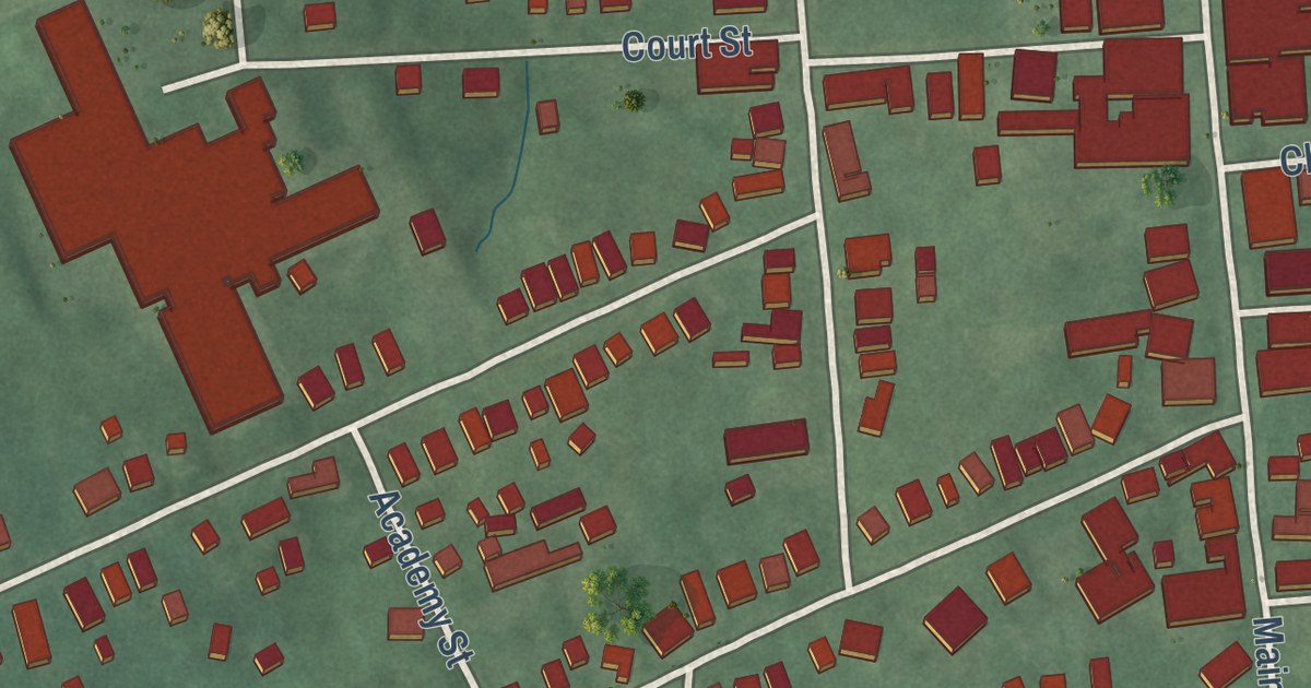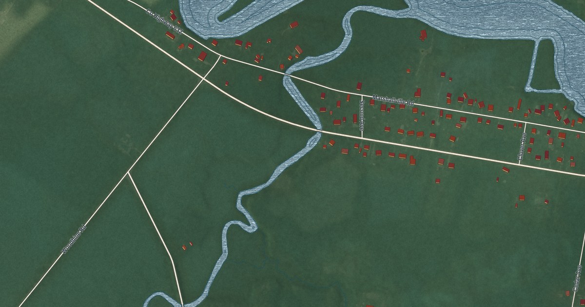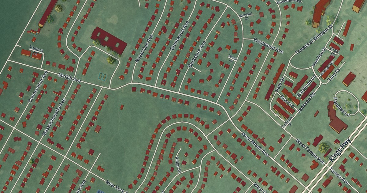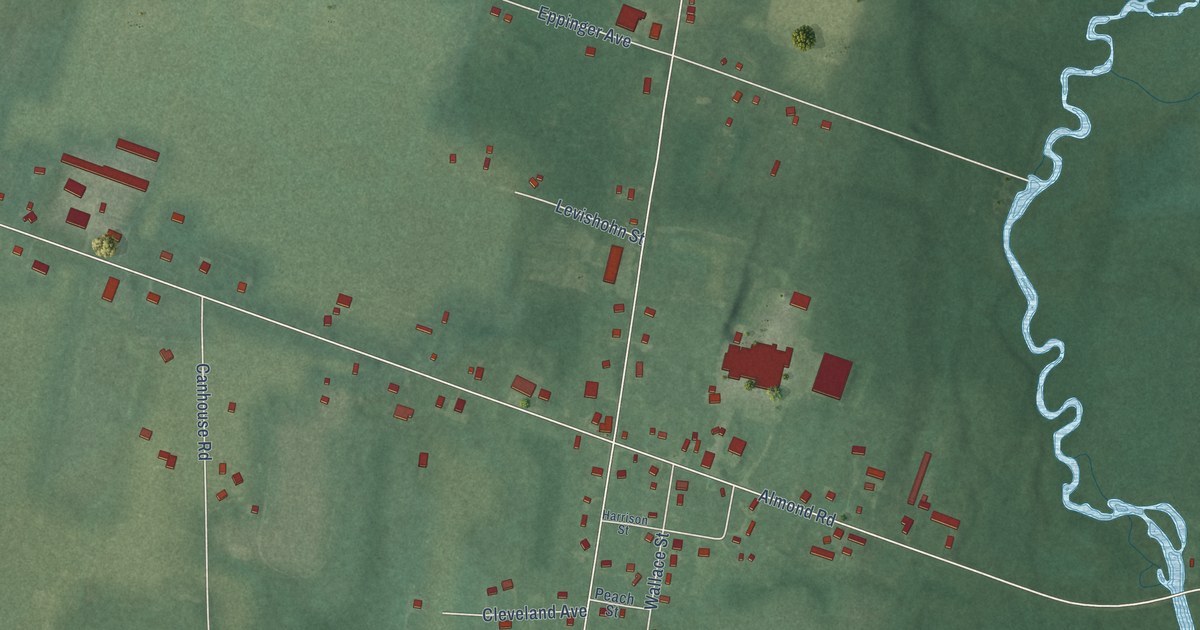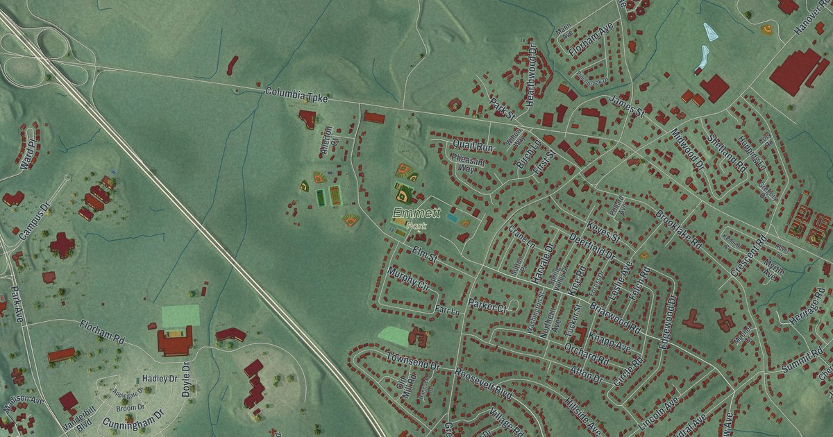
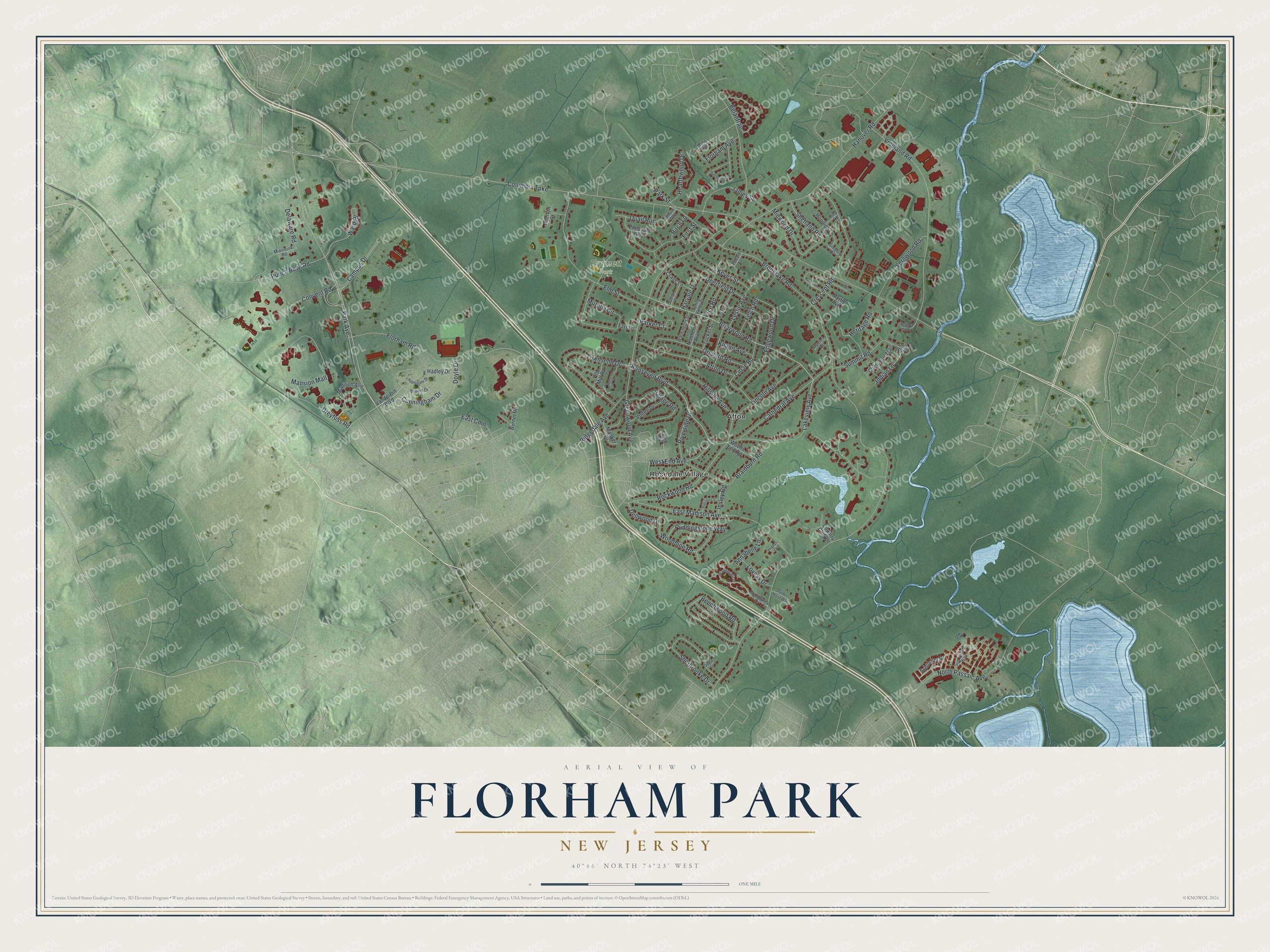
This beautifully detailed map of Florham Park, New Jersey was created in 2026 using aerial imagery combined with modern topographical, census, street and landmark data. It’s a one-of-a-kind view of Florham Park that combines accurate data with a vintage aesthetic. The map shows every building in its true location, many of the roads carry their names, and the shaded topographic relief shows the shape of the land.
Explore an aerial view of Florham Park, New Jersey
On the map you’ll find Emmett Park, Afton, and Rosedale Village, along with Briarwood Road, Roosevelt Boulevard, Park Avenue, Lakeview Avenue, Brooklake Road, Columbia Turnpike, Ridgedale Avenue, Florham Road, Hanover Road, and more. If you look closely you can even find your house accurately drawn in its correct location. Zoom in on the preview to look for yours.
Did You Know?
Florence Vanderbilt Twombly and her husband Hamilton built a grand Gilded Age estate here on 840 acres. They named it Florham, joining their first names. Park came from Brooklake Park, the estate of Prudential founder Leslie Ward. The borough took its name from both estates in 1899.
Take a closer look at the Florham Park map
Names on this map
These names are printed on this map.
Places: Emmett Park, Afton and Rosedale Village.
Streets and roads: Briarwood Road, Roosevelt Boulevard, Park Avenue, Lakeview Avenue, Brooklake Road, Columbia Turnpike, Ridgedale Avenue, Florham Road, Hanover Road, Vreeland Road, Rockwood Road, Dreyfuss Road.
More street names, A to Z
Afton Drive, Allerton Court, Annabelle Lane, Applegate Drive, Beacon Hill Road, Beechwood Road, Belantrae, Birch Lane, Braidburn Road, Brandywine Drive, Brandywyne Drive, Broom Drive, Burnet Road, Campus Drive, Cathedral Avenue, Cherokee Trail, Circle Road, Convent Road, Cory Road, Country Club Lane, Crane Lane, Crescent Road, Cunningham Drive, Deerfield Drive, Delaware Road, Dellwood Drive, Doyle Drive, Drift Way, East Cmn, East Madison Avenue, Edgewood Drive, Elm Street, Farr Lane, Father Mario Way, Felch Road, Fernwood Road, First Street, Florham Avenue, Forest Drive, Greenwood Avenue, Gregory Drive, Hadley Drive, Hancock Drive, Harvale Drive, Hearthwood Drive, Heritage Road, Hillside Avenue, Hopping Lane, Hughes Court, Indian Lane, Insley Road, James Street, Joyce Court, Kenneth Court, Keyes Street, Kice Road, Knapp Avenue, Leigh Drive, Leslie Avenue, Lincoln Avenue, Loveys Drive, Madison Avenue, Manker Drive, Mann Avenue, Mansion Mall, Midwood Drive, Minnisink Road, Mueller Court, Murphy Circle, Myrtle Avenue, Northern Avenue, North Passaic Avenue, Old Mill Road, Orchard Road, Parker Court, Park Street, Pheasant Way, Pierson Lane, Pinchbrook Drive, Pollard Avenue, Puddingstone Way, Punch Bowl Road, Quail Run, Rever Drive, Riverside Drive, Schindler Drive, Sherbrooke Drive, Shetland Road, Spring Valley Drive, Summit Road, Sun Valley Way, Sutton Place, Townsend Drive, Tucker Street, Vanderbilt Boulevard, Village Road, Vultee Drive, Ward Place, Washington Street, West End Avenue, Willow Way, Woodbine Road, Woods End Road.
See it on a wall
The Florham Park map as an 18 x 24 inch print in a black frame.

This beautifully detailed map of Florham Park makes an attractive addition to your office, library, or den, and it can even be used to teach children the geography and history of the area. It also makes a great gift for anyone who grew up in Florham Park or moved away. When you’re done exploring, click here to get your copy of the Florham Park map.