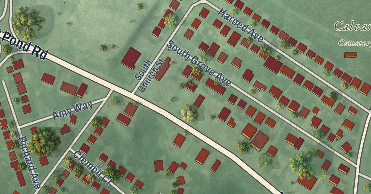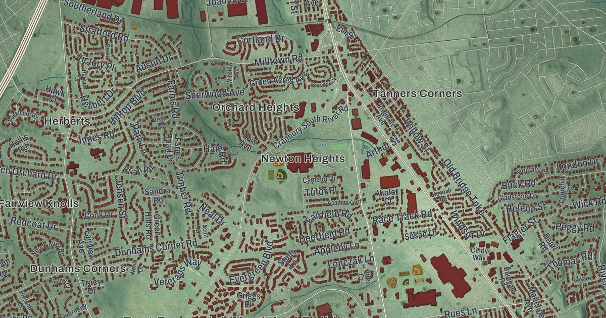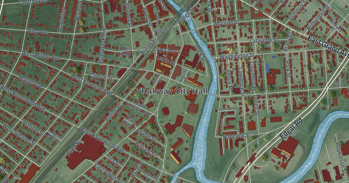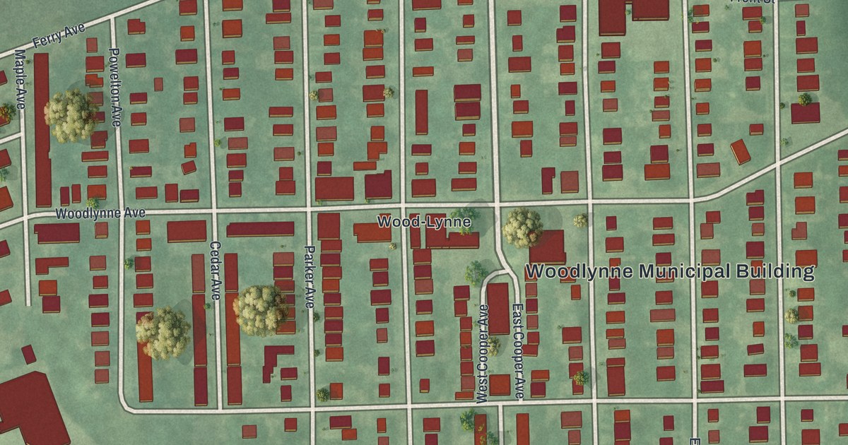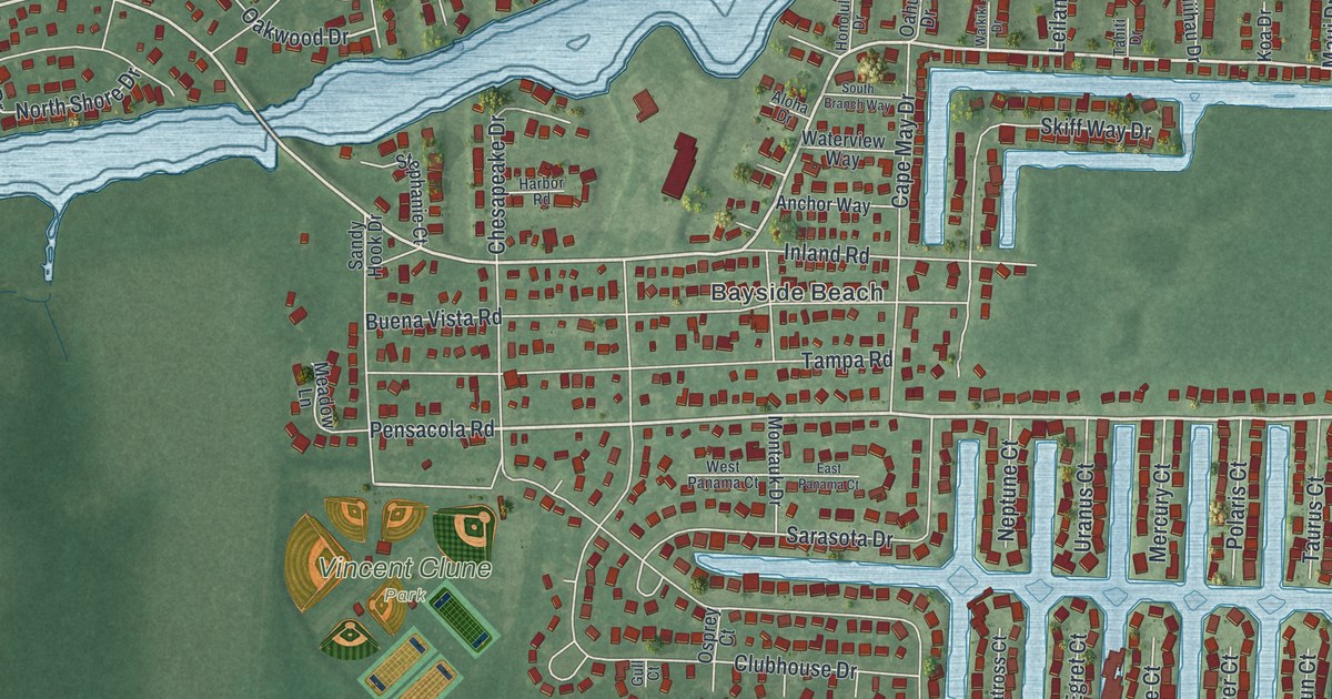
This beautifully detailed map of Forked River, New Jersey was created in 2026 using aerial imagery combined with modern topographical, census, street and landmark data. It’s a one-of-a-kind view of Forked River that combines accurate data with a vintage aesthetic. The map shows every building in its true location, many of the roads carry their names, and the shaded topographic relief shows the shape of the land.
Explore an aerial view of Forked River, New Jersey
On the map you’ll find Forked River Beach, Bayside Beach, Forked River Point, Enos Pond County Park, and Vincent Clune Park, along with North Main Street, South Main Street, Beach Boulevard, Pensacola Road, Nautical Drive, Tamiami Road, Orlando Drive, and more. If you look closely you can even find your house accurately drawn in its correct location. Zoom in on the preview to look for yours.
Take a closer look at the Forked River map
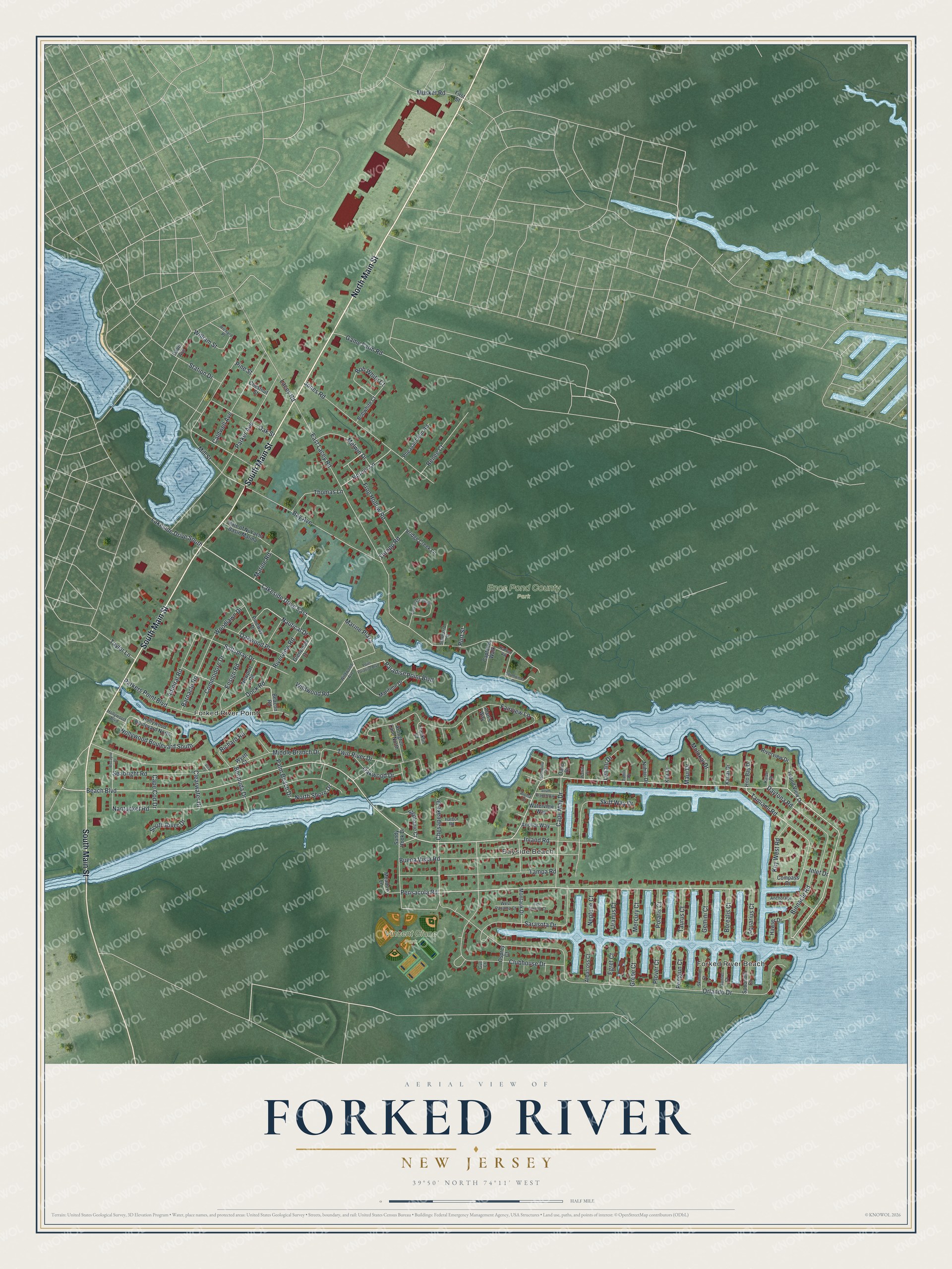
Names on this map
These names are printed on this map.
Places: Forked River Beach, Bayside Beach, Forked River Point, Enos Pond County Park and Vincent Clune Park.
Streets and roads: North Main Street, South Main Street, Beach Boulevard, Pensacola Road, Lakeside Drive East, Nautical Drive, Tamiami Road, Orlando Drive, East Lacey Road, Fairview Lane, Nantucket Road, Clubhouse Drive.
More street names, A to Z
Admiral Road, Alan's Way, Albatross Court, Aloha Drive, Anchorage Drive, Anchor Way, Aquarius Court, Arlington Lane North, Barnacle Road, Bay Avenue, Beacon Road, Bermuda Drive, Binnacle Road, Biscayne Drive, Bob White Court, Bobwhite Court, Borealis Court, Bridge Creek Lane, Buena Vista Road, Caldwell Avenue, Cape Cod Drive, Cape May Drive, Captains Walk, Chesapeake Drive, Chestnut Street, Clearwater Drive, Commodore Drive, Compass Drive, Davenport Landing, Davis Avenue, Daytona Road, Dock Road, East Panama Court, Egret Court, Ensign Road, First Street, Franklin Court, Frog Hollow Road, Game Farm Road, Gannet Court, Gemini Court, Glenwood Drive, Grebe Court, Gull Court, Harbor Road, Harbor Vw, Hawser Drive, Hilo Bay Drive, Hollywood Boulevard, Hollywood Boulevard North, Hollywood Boulevard South, Honolulu Drive, Horner Lane, Inland Road, Inlet Drive, Island View Drive, Jones Road, Kalae Drive, Kauai Drive, Key West Road, Koa Drive, Lacey Road, Lakeside Drive South, Leilani Drive, Marine Plaza, Marine Road, Maritime Drive, Maui Drive, Meadow Lane, Melwin Drive, Mercury Court, Middle Branch Drive, Mill Street, Molokai Drive, Montauk Drive, Musket Road, Neptune Court, Newport Road, Niihau Drive, Nora Court, North Shore Drive, Oahu Drive, Oak Street, Oakwood Drive, Oakwood Place, Osprey Court, Palm Beach Drive, Paradise Point Boulevard, Parker Avenue, Parkers Point Boulevard, Pengiun Court, Pheasant Run Road, Pine Street, Pineway Drive, Plover Court, Point Paradise Boulevard, Polaris Court, Port Street, Renee Court, Richard Place, Richard Road, Riverview Drive, Riverview Road, Saltspray Drive, Sandy Hook Drive, Sarasota Drive, Seabright Road, Skiff Way Drive, Skimmer Court, South Branch Way, South River Drive, Southwinds Drive, Spoonbill Court, Starboard Street, State of Nj Yacht Basin Marina, Station Drive, Stephanie Court, Tahiti Drive, Tampa Road, Taurus Court, Taylor Lane, Thomas Lane, Thropp Road, Twin River Drive, Uranus Court, Waikiki Drive, Waterview Way, West Panama Court, Wildwood Avenue, Wildwood Road, William Street, Woodlawn Drive, Wyatt Court.
See it on a wall
The Forked River map as an 18 x 24 inch print in a black frame.

This beautifully detailed map of Forked River makes an attractive addition to your office, library, or den, and it can even be used to teach children the geography and history of the area. It also makes a great gift for anyone who grew up in Forked River or moved away. When you’re done exploring, click here to get your copy of the Forked River map.