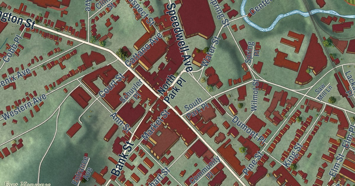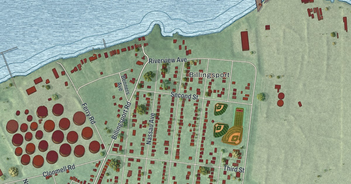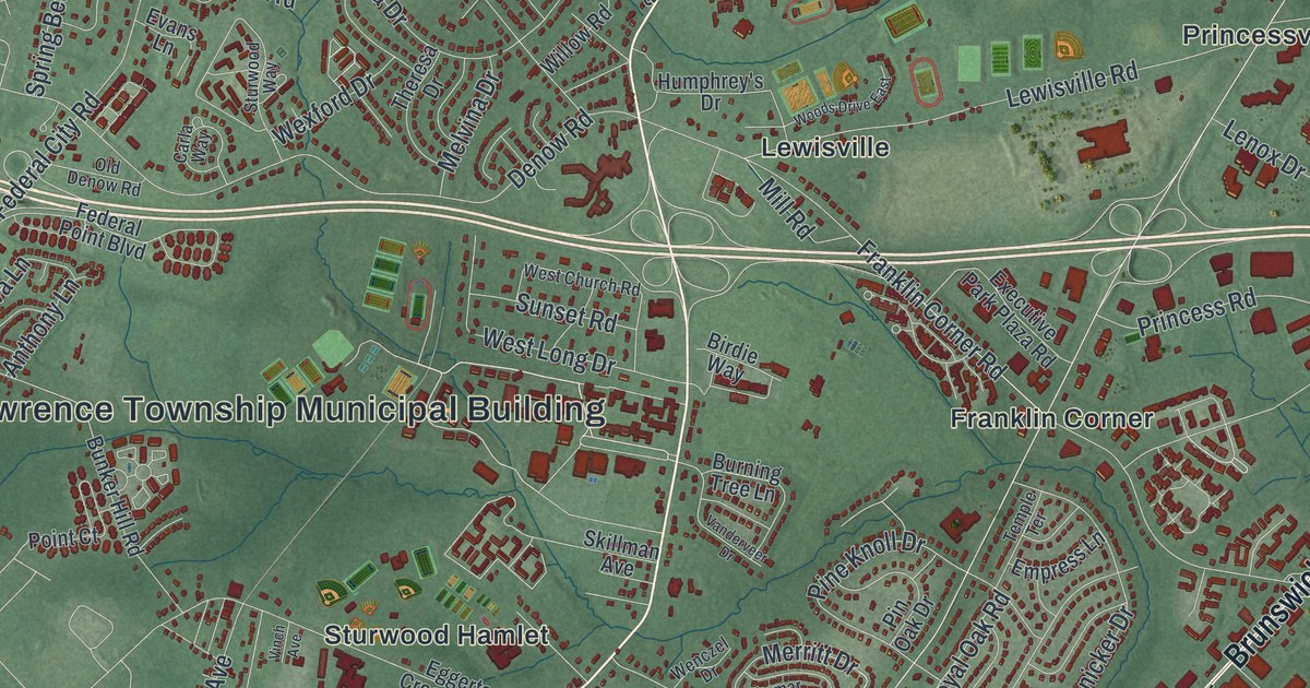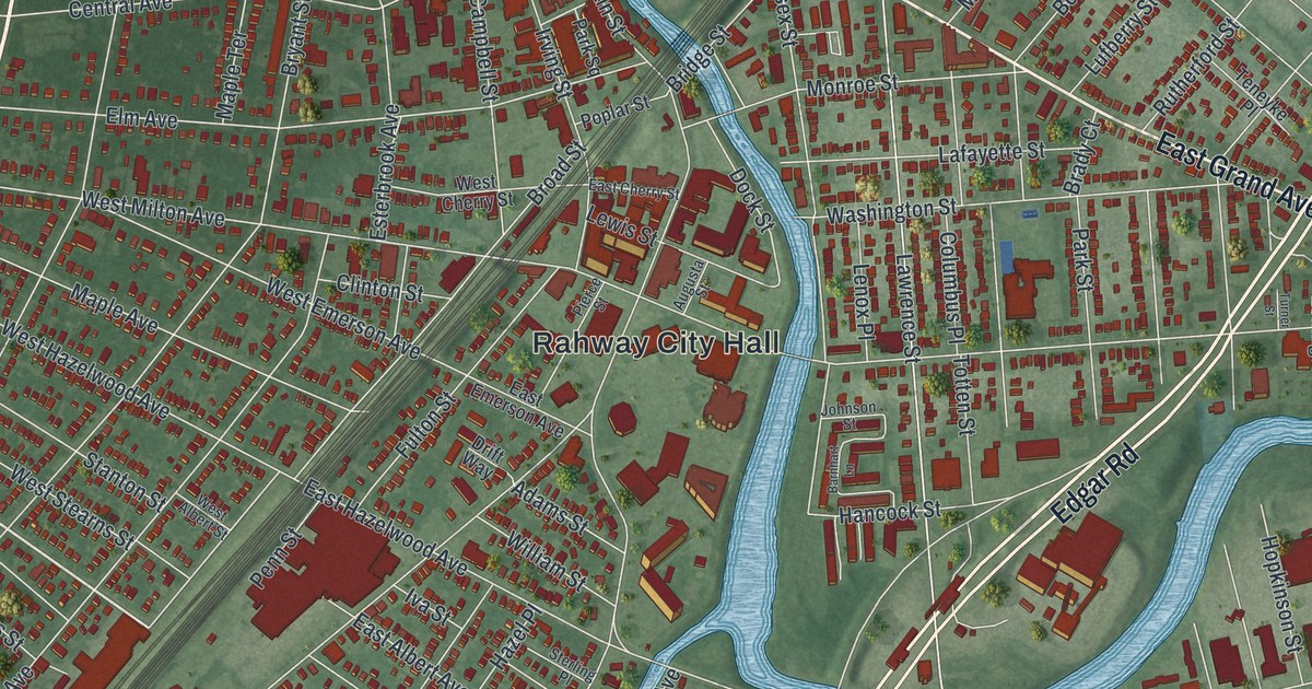
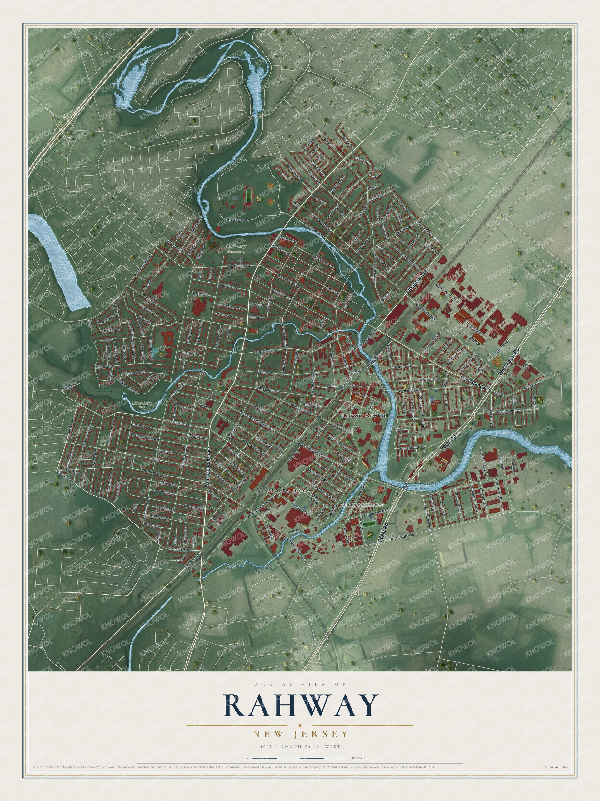
This beautifully detailed map of Rahway, New Jersey was created in 2026 using aerial imagery combined with modern topographical, census, street and landmark data. It’s a one-of-a-kind view of Rahway that combines accurate data with a vintage aesthetic. The map shows every building in its true location, many of the roads carry their names, and the shaded topographic relief shows the shape of the land.
Explore an aerial view of Rahway, New Jersey
On the map you’ll find Rahway City Hall, Perth Amboy Junction, and Milton Lake Park, along with Saint Georges Avenue, Elizabeth Avenue, Grand Avenue, Edgar Road, and more. If you look closely you can even find your house accurately drawn in its correct location. Zoom in on the preview to look for yours.
Did You Know?
On April 23, 1789, George Washington stopped in Rahway on his way to his inauguration in New York City. Troops from Elizabethtown and Newark welcomed him. Gentlemen of the town hosted him at the inn of Samuel Smith. After the Revolution, Rahway also housed the first national mint to strike a coin reading E pluribus unum.
Take a closer look at the Rahway map
Names on this map
These names are printed on this map.
Places: Rahway City Hall, Glendinning Homes, Perth Amboy Junction, Milton Lake Park, Rahway Cemetery and Tully Field.
Streets and roads: Saint Georges Avenue, Elizabeth Avenue, East Grand Avenue, Edgar Road, West Edgar Road, West Inman Avenue, Bramhall Road, Dukes Road, Colonia Boulevard, West Lake Avenue, East Inman Avenue, West Grand Avenue.
More street names, A to Z
Adams Street, Adele Street, Albermarle Street, Alden Drive, Allen Street, Apgar Terrace, Audrey Drive, Augusta Street, Barnett Street, Barnhart Lane, Beacon Street, Bedford Street, Beechwood Road, Berthold Avenue, Beverly Road, Billy Court, Bond Street, Booth Court, Brady Court, Briarcliff Drive, Bridge Street, Broad Street, Broadway, Brookside Road, Brown Place, Bryant Street, Campbell Street, Capobianco Place, Central Avenue, Charlotte Place, Church Street, Clark Street, Clinton Street, Coddington Street, Colonial Drive, Columbus Place, Concord Street, Cora Place, Cornell Avenue, Crescent Drive, Cross Street, Dianne Court, Di Antonio Drive, Dock Street, Donald Avenue, Drift Way, East Albert Avenue, East Cherry Street, East Emerson Avenue, East Hazelwood Avenue, East Lake Avenue, East Lincoln Avenue, East Milton Avenue, East Scott Avenue, East Stearns Street, Edgewood Street, Elinor Place, Elizabeth Street, Elm Avenue, Elm Terrace, Elston Street, Essex Street, Esterbrook Avenue, Evans Street, Falesky Street, Farrell Terrace, Felver Court, Fernote Street, Forbes Street, Fowler Place, Franklin Street, Fulton Street, Garden Street, Gordon Place, Greslin Terrace, Grove Street, Hamilton Street, Hancock Street, Harris Drive, Harrison Street, Hart Street, Harvard Street, Hazel Place, Hedin Place, Hemlock Street, Henry Street, High Street, Hillside Road, Hopkinson Street, Hulick Place, Inwood Place, Irving Street, Iva Street, Jackson Avenue, James Terrace, Jaques Avenue, Jefferson Avenue, Jensen Avenue, John Place, Johnson Street, Jones Place, Jowett Place, Kaminski Drive, Kanski Court, Kearny Avenue, Keller Place, Kline Place, Knapp Drive, Koenig Place, Lafayette Street, Lakeside Drive, Lakewood Street, Lambert Street, Laurel Place, Lawrence Street, Leesville Avenue, Lenington Street, Lenox Place, Lentz Court, Lewis Street, Lincoln Avenue, Linden Avenue, Lower Alden Drive, Ludlow Street, Lufberry Street, Madison Avenue, Madison Hill Road, Main Street, Maple Avenue, Maple Terrace, Martin Street, Maurice Avenue, Mayfair Drive, Midwood Drive, Millers Lane, Mill Street, Milton Boulevard, Minna Street, Monroe Street, Montgomery Street, Mooney Place, Morton Avenue, Moses Drive, Murray Street, New Brunswick Avenue, New Church Street, Newton Street, Nicholas Place, Oak Street, Old Lake Avenue, Oliver Street, Orchard Street, Park Square, Park Street, Parkway Drive, Paterson Street, Penn Street, Pierce Street, Pierpont Street, Pinewood Street, Plainfield Avenue, Plymouth Drive, Poplar Street, Pratt Street, Price Street, Princeton Avenue, Prospect Street, Race Street, Raleigh Road, Randolph Avenue, Rayhon Terrace, Regina Avenue, Remsen Avenue, Revoir Drive, Richard Boulevard, Richmond Terrace, Ridge Road, Riffle Avenue, River Road, Robert Street, Rodgers Court, Ross Street, Rudolph Avenue, Russell Avenue, Rutherford Street, School Street, Seminary Avenue, Stacy Place, Stalevicz Lane, Stanley Place, Stanton Street, Sterling Place, Stockton Street, Stone Street, Sycamore Street, Tehama Street, Teneyke Place, Terrace Street, Thirza Place, Totten Street, Trussler Place, Turner Street, Underhill Place, Union Street, Upton Place, Valley Road, Villa Place, Waite Avenue, Wall Street, Walters Street, Ward Drive, Washington Street, Wescott Drive, West Albert Street, West Cherry Street, West Emerson Avenue, Westfield Avenue, West Hazelwood Avenue, West Lincoln Avenue, West Main Street, West Meadow Avenue, West Milton Avenue, West Scott Avenue, West Stearns Street, Whelan Place, Whittier Street, William Street, Wilson Avenue, Winfield Street, Witherspoon Street, Woodbridge Road.
See it on a wall
The Rahway map as an 18 x 24 inch print in a black frame.

This beautifully detailed map of Rahway makes an attractive addition to your office, library, or den, and it can even be used to teach children the geography and history of the area. It also makes a great gift for anyone who grew up in Rahway or moved away. When you’re done exploring, click here to get your copy of the Rahway map.