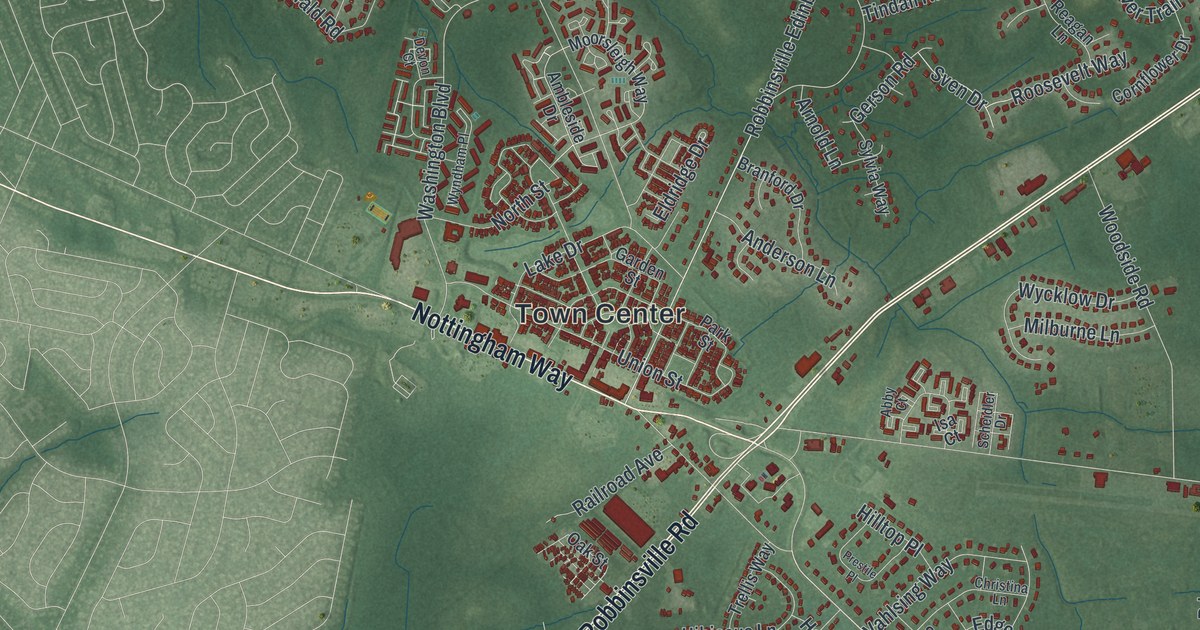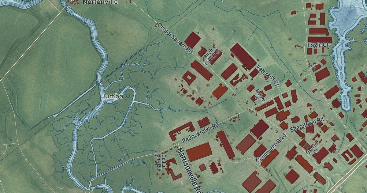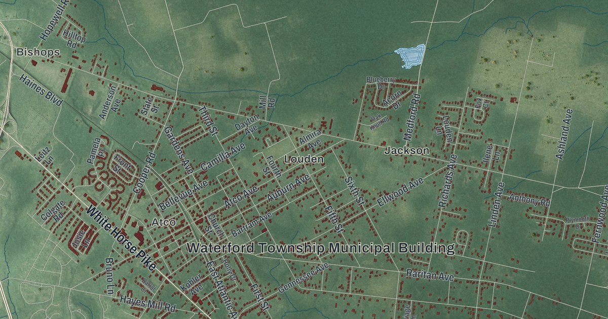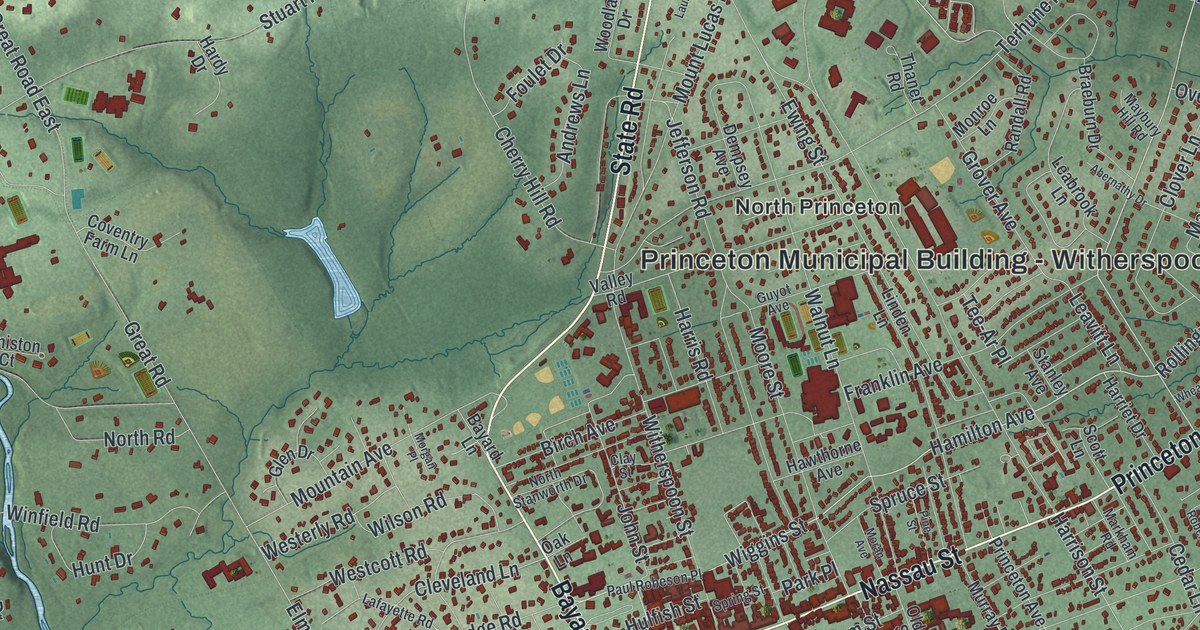
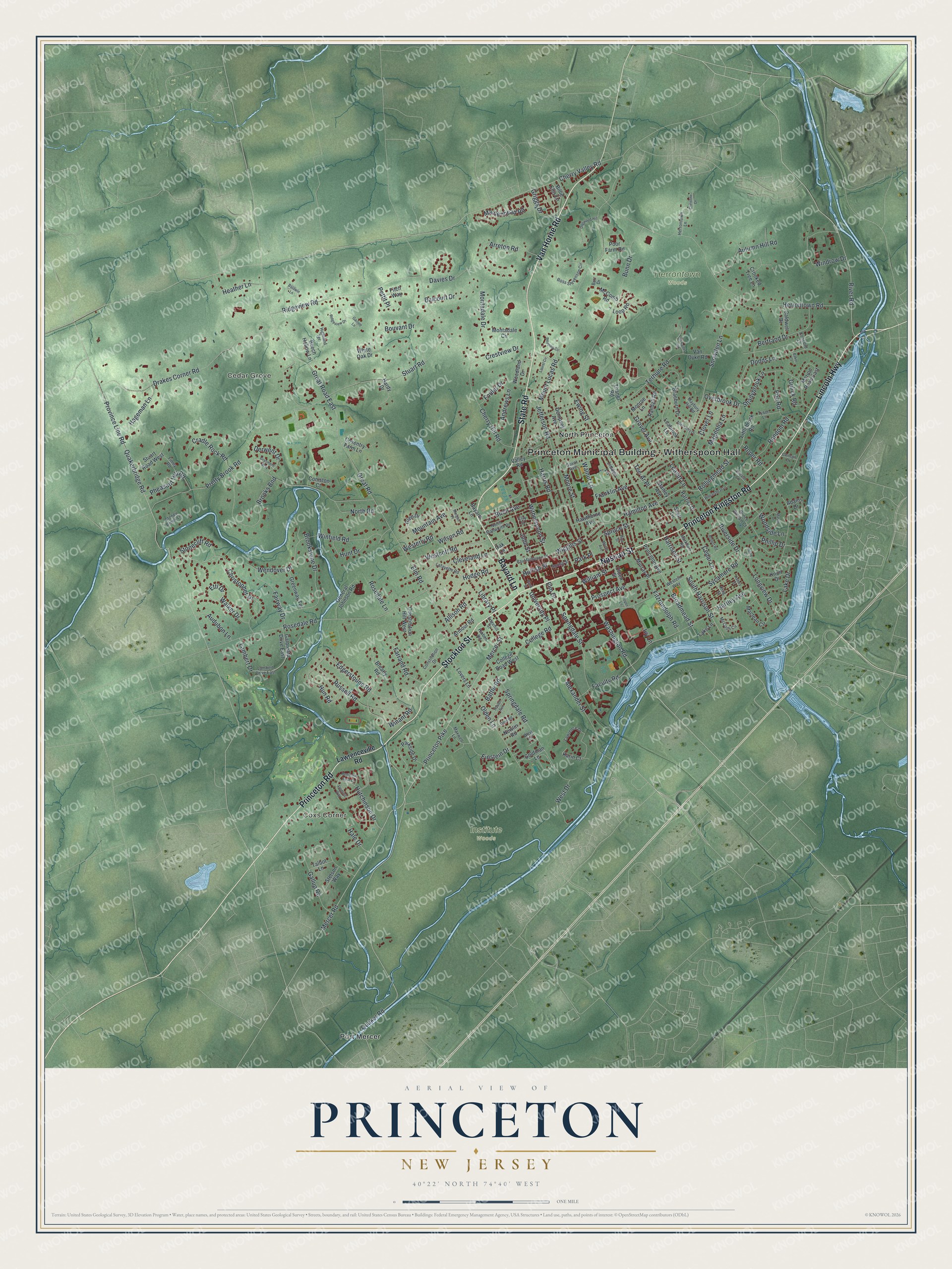
This beautifully detailed map of Princeton, New Jersey was created in 2026 using aerial imagery combined with modern topographical, census, street and landmark data. It’s a one-of-a-kind view of Princeton that combines accurate data with a vintage aesthetic. The map shows every building in its true location, many of the roads carry their names, and the shaded topographic relief shows the shape of the land.
Explore an aerial view of Princeton, New Jersey
On the map you’ll find Princeton Municipal Building – Witherspoon Hall, Coxs Corner, Cedar Grove, North Princeton, and Port Mercer, along with Van Horne Road, Lincoln Highway, Nassau Street, Stockton Street, and more. If you look closely you can even find your house accurately drawn in its correct location. Zoom in on the preview to look for yours.
Did You Know?
George Washington won the Battle of Princeton in January 1777. The victory drove the British out of southern New Jersey. Afterward the town hosted the first state Legislature, which chose the seal and the governor. Richard Stockton and John Witherspoon, two signers of the Declaration of Independence, lived here.
Take a closer look at the Princeton map
Names on this map
These names are printed on this map.
Places: Princeton Municipal Building - Witherspoon Hall, Coxs Corner, Cedar Grove, Herrontown Woods, Institute Woods, North Princeton and Port Mercer.
Streets and roads: State Road, Van Horne Road, Lincoln Highway, Nassau Street, Stockton Street, Bayard Lane, Princeton Road, Princeton Kingston Road, Quaker Road, Hamilton Avenue, River Road, Rollingmead Street.
More street names, A to Z
Abernathy Drive, Adams Drive, Alexander Street, Allison Road, All Saints Road, Andrews Lane, Armour Road, Arreton Road, Audubon Lane, Autumn Hill Road, Baker Court, Balcourt Drive, Baldwin Lane, Bank Street, Battle Road, Beech Hollow Lane, Benjamin Rush Lane, Bertrand Drive, Billie Ellis Lane, Birch Avenue, Bouvant Drive, Braeburn Drive, Brearly Road, Broadmead Street, Brooks Bnd, Brookstone Drive, Bunn Drive, Burr Drive, Caldwell Drive, Carnegie Drive, Cedar Lane, Cherry Hill Road, Cherry Valley Road, Christine Drive, Christopher Drive, Clay Street, Cleveland Lane, Clover Lane, College Road, College Road West, Concord Lane, Coniston Court, Constitution Drive, Constitution Hill West, Coventry Farm Lane, Cradle Rock Road, Crestview Drive, Crooked Tree Lane, Davies Drive, Dempsey Avenue, Derwent Drive, Dodds Lane, Dogwood Hill, Drakes Corner Road, Edgehill Street, Edgerstoune Road, Einstein Drive, Elm Drive, Elm Road, Ettl Drive, Ewing Street, Faculty Road, Fairway Drive, Farrand Road, Finley Road, Fitch Way, Fitzrandolph Road, Fleming Way, Foulet Drive, Franklin Avenue, Galbreath Drive East, Gallup Road, Garrett Lane, General Johnson Road, Glen Drive, Goldman Lane, Grasmere Way, Great Road, Great Road East, Greenway Terrace, Griggs Drive, Grover Avenue, Gulick Road, Guyot Avenue, Hageman Lane, Hale Drive, Halsey Street, Hardy Drive, Harriet Drive, Harrison Street, Harris Road, Hartley Avenue, Haslet Avenue, Hawthorne Avenue, Heather Lane, Herrontown Lane, Herrontown Road, Hibben Road, Highland Terrace, Hodge Road, Howe Circle, Hulfish Street, Hun Road, Hunt Drive, Hutchinson Drive, Ivy Lane, Jefferson Road, John Street, Karin Court, King Street, Knoll Drive, Lafayette Road, Lake Drive, Lake Lane, Lambert Drive, Lambert Drive East, Laurel Circle, Lawrence Drive, Lawrenceville Road, Leabrook Lane, Leavitt Lane, Library Place, Linden Lane, Littlebrook Road, Locust Lane, Longview Drive, Loop Road, Lovers Lane, Maclean Circle, Magnolia Lane, Maidenhead Road, Marion Road East, Markham Road, Mason Drive, Maxwell Lane, Maybury Hill Road, McComb Road, McCosh Circle, Mercer Road, Mercer Street, Monroe Lane, Montadale Circle, Montadale Drive, Moore Street, Moran Avenue, Morgan Place, Mountain Avenue, Mount Lucas Road, Murray Place, Newlin Road, North Road, North Stanworth Drive, Oak Lane, Ober Road, Olden Lane, Olden Street, Overbrook Drive, Park Place, Parkside Drive, Paul Robeson Place, Pettit Place, Pheasant Hill Road, Phillip Drive, Pine Street, Poe Road, Poor Farm Road, Pretty Brook Road, Princeton Avenue, Princeton Pike, Prince William Court, Prospect Avenue, Province Line Road, Quakerbridge Road, Randall Road, Random Road, Redding Circle, Ridgeview Drive, Ridgeview Road, Riverside Drive, Robert Road, Roper Lane, Roper Road, Rosedale Lane, Rosedale Road, Ross Stevenson Circle, Russell Road, Scott Lane, Shadybrook Lane, Snowden Lane, South Harrison Street, Springdale Road, Springdale Street, Spring Street, Spruce Street, Stanley Avenue, Stetson Way, Stonecliff Road, Stoney Brook Lane, Stuart Road, Stuart Road West, Sycamore Road, Talbot Lane, Tee-Ar Place, Terhune Road, Thanet Road, Tyson Lane, University Place, Valley Road, Van Dyke Road, Walker Drive, Walnut Lane, Washington Road, Wendover Drive, Westcott Road, West Drive, Westerly Road, Western Way, Weyl Lane, Wheatsheaf Lane, White Oak Drive, Wiggins Street, William Street, Wilson Road, Winant Road, Windrow Drive, Winfield Road, Witherspoon Street, Woodland Drive, Woodside Lane.
See it on a wall
The Princeton map as an 18 x 24 inch print in a black frame.

This beautifully detailed map of Princeton makes an attractive addition to your office, library, or den, and it can even be used to teach children the geography and history of the area. It also makes a great gift for anyone who grew up in Princeton or moved away. When you’re done exploring, click here to get your copy of the Princeton map.