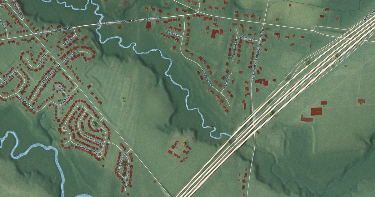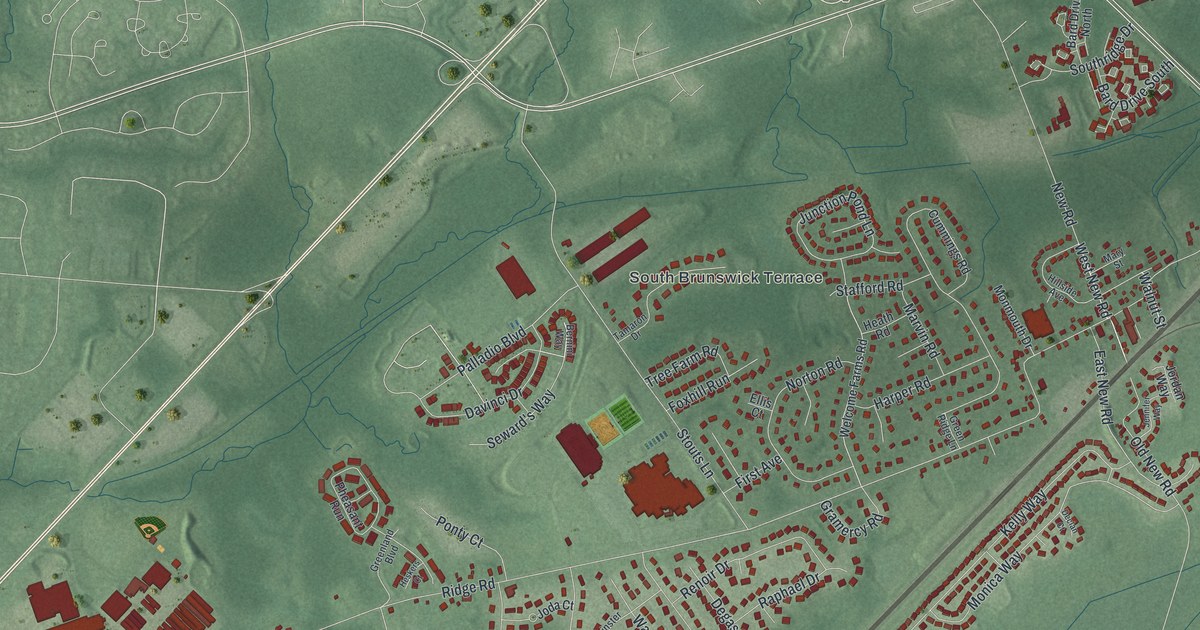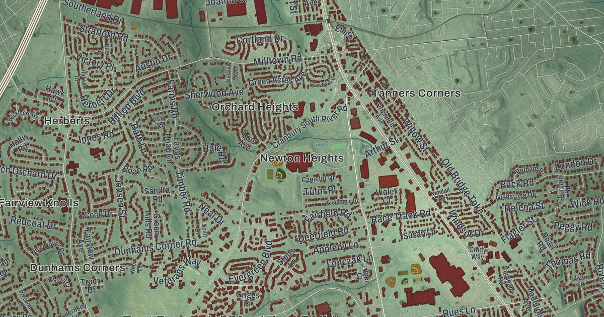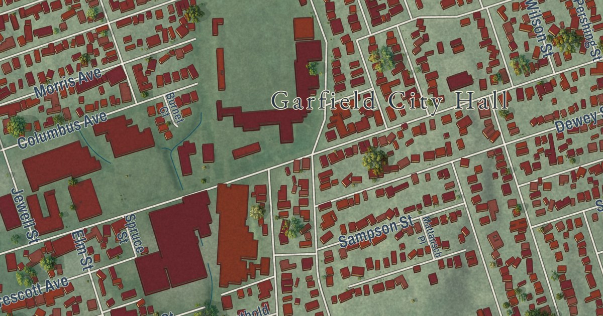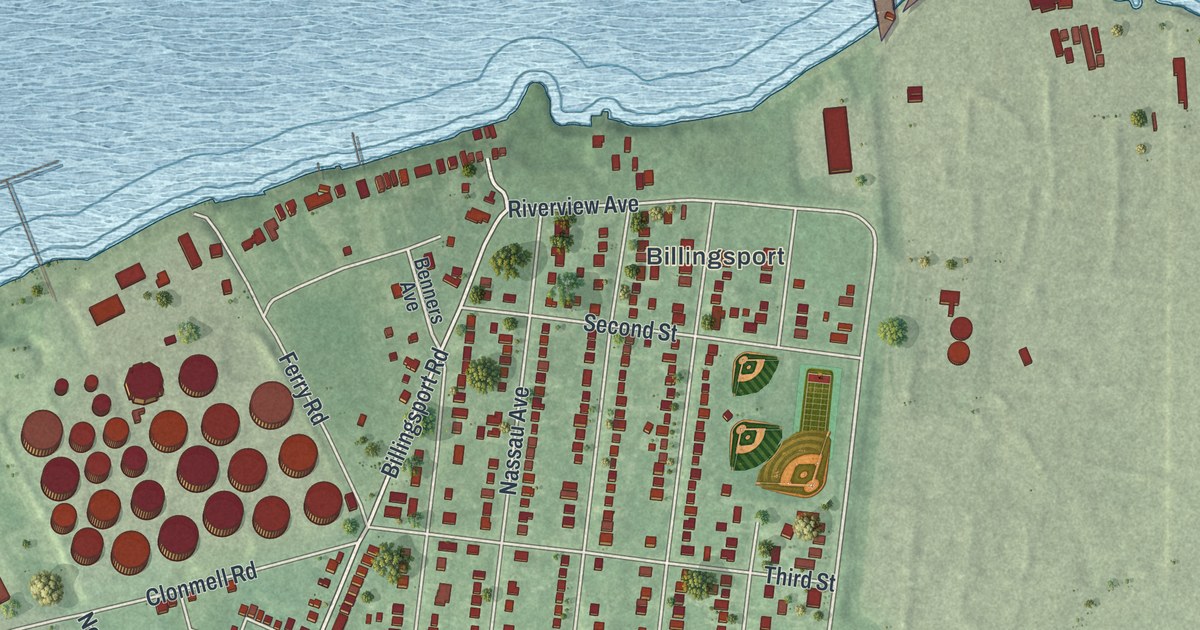
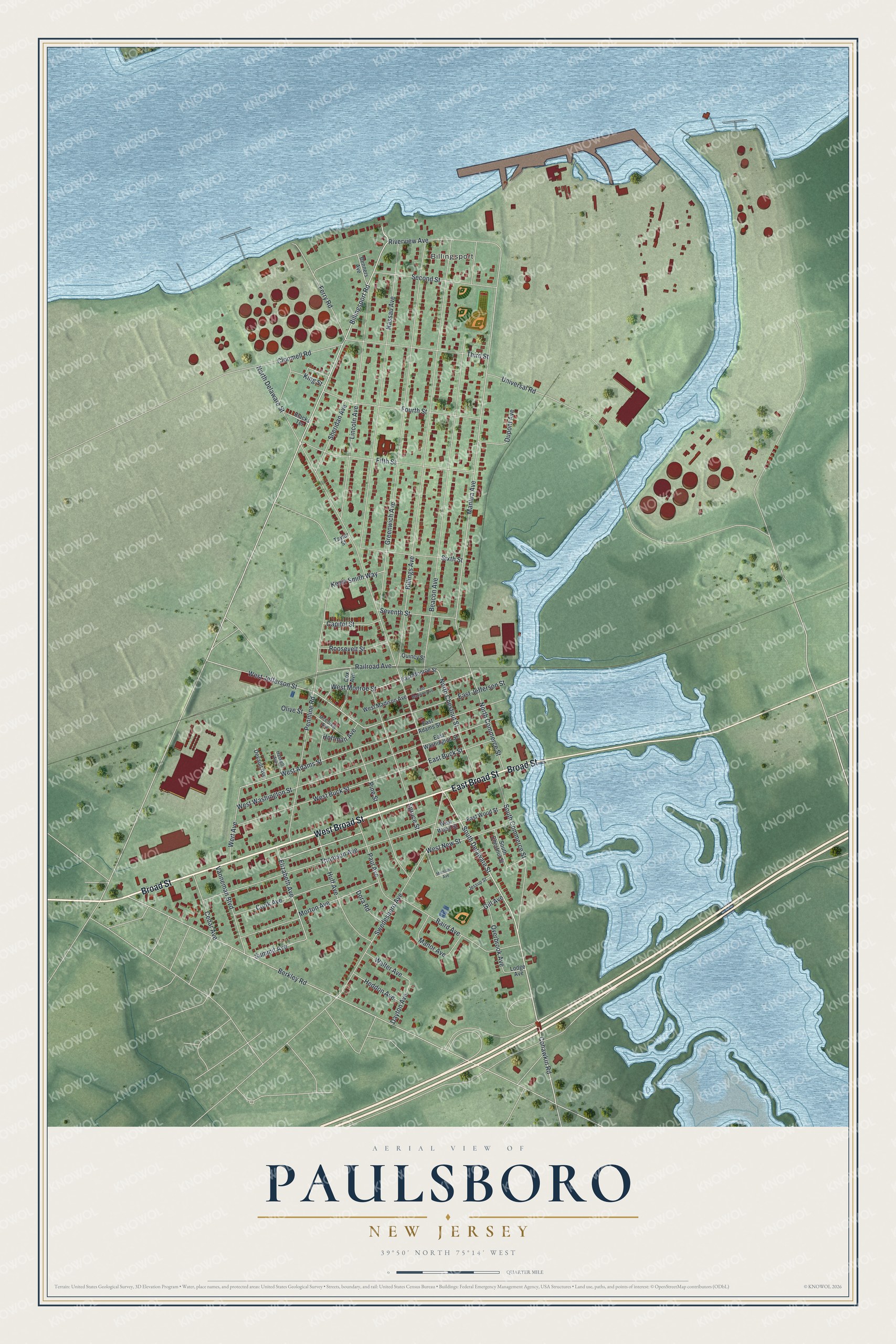
This beautifully detailed map of Paulsboro, New Jersey was created in 2026 using aerial imagery combined with modern topographical, census, street and landmark data. It’s a one-of-a-kind view of Paulsboro that combines accurate data with a vintage aesthetic. The map shows every building in its true location, many of the roads carry their names, and the shaded topographic relief shows the shape of the land.
Explore an aerial view of Paulsboro, New Jersey
On the map you’ll find Billingsport, along with Broad Street, Delaware Street, Elizabeth Avenue, Paul Avenue, Cohawkin Road, and more. If you look closely you can even find your house accurately drawn in its correct location. Zoom in on the preview to look for yours.
Did You Know?
Fort Billingsport stood in what is now the borough. It was the first piece of land the United States ever bought. The purchase came on July 5, 1776, one day after the Declaration of Independence was signed. The borough itself took its name from Samuel Phillip Paul, a settler’s son.
Take a closer look at the Paulsboro map
Names on this map
These names are printed on this map.
Places: Billingsport.
Streets and roads: West Broad Street, East Broad Street, Broad Street, South Delaware Street, Elizabeth Avenue, Paul Avenue, Cohawkin Road, Billingsport Road, West Jefferson Street, West Monroe Street, North Chestnut Street, Spruce Street.
More street names, A to Z
Baird Avenue, Beacon Avenue, Benners Avenue, Berkley Road, Billings Avenue, Blacks Terrace, Capitol Street, Cedar Avenue, Clonmell Road, Cook Avenue, Cox Avenue, Dayton Avenue, Devault Avenue, Dora Road, Dupont Avenue, East Adams Street, East Buck Street, East Jefferson Street, East Madison Avenue, East Monroe Street, East Washington Street, East Wood Street, Ferry Road, Fifth Street, Fourth Street, Gill Avenue, Greenwich Avenue, Haskell Avenue, Heddon Avenue, Hoffman Avenue, Huff Avenue, Jessup Street, Kevin Smith Way, King Street, Lincoln Avenue, Lodge Avenue, Manor Avenue, Mantua Avenue, McCorkle Avenue, Moreland Avenue, Morton Avenue, Nassau Avenue, North Commerce Street, North Delaware Street, Olive Street, Overbrook Avenue, Pennline Road, Pine Street, Quincy Street, Railroad Avenue, Riverview Avenue, Roosevelt Street, Second Street, Seventh Street, Sheridan Avenue, Sixth Street, South Chestnut Street, South Commerce Street, Summit Avenue, Swedesboro Avenue, Taylor Street, Third Street, Thomson Avenue, Universal Road, Vanneman Boulevard, Walter Avenue, Wert Avenue, West Adams Street, West Buck Street, West Madison Avenue, West New Street, West Washington Street, West Wood Street.
See it on a wall
The Paulsboro map as an 18 x 24 inch print in a black frame.

This beautifully detailed map of Paulsboro makes an attractive addition to your office, library, or den, and it can even be used to teach children the geography and history of the area. It also makes a great gift for anyone with Paulsboro roots. When you’re done exploring, click here to get your copy of the Paulsboro map.